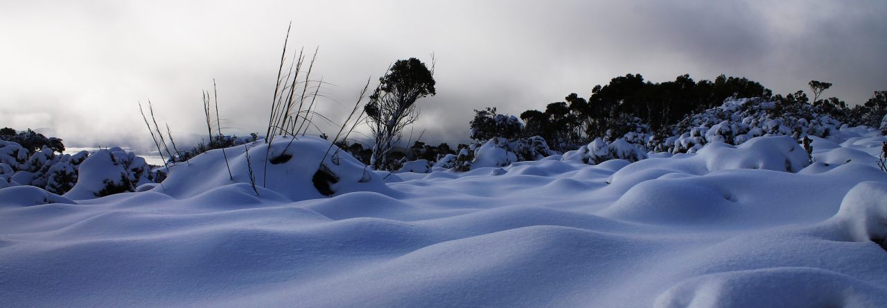
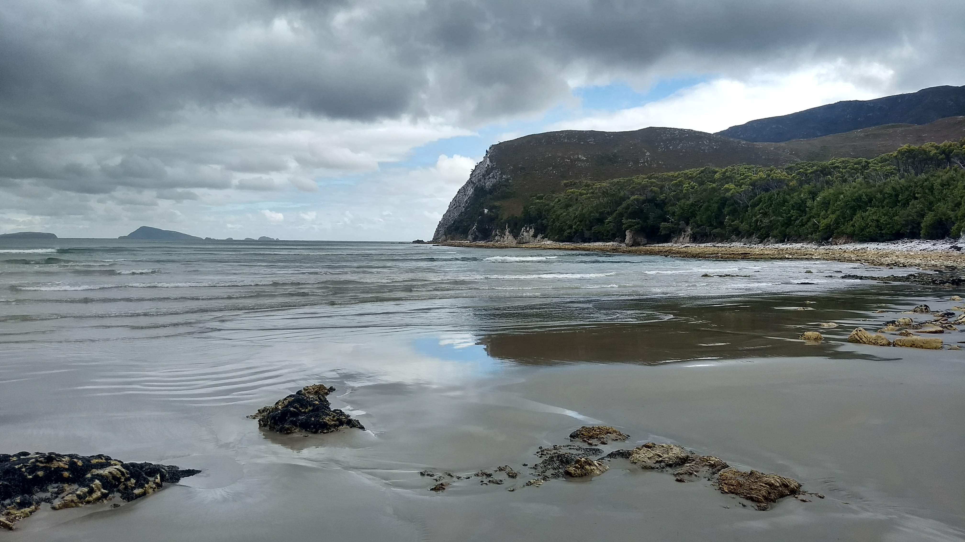
This was to be my first trip off into the bush since the South Coast Track almost a month ago. This is an unusually large break from bushwalking for me, but a combination of my last walking experience, and being horribly busy kept me from venturing out. Since returning from the South Coast, I have moved out of my Hobart house, helped my housemates move into their new house, fought to have our rental bond returned (we got it back by the way), and moved to Strahan on the west coast of Tasmania.
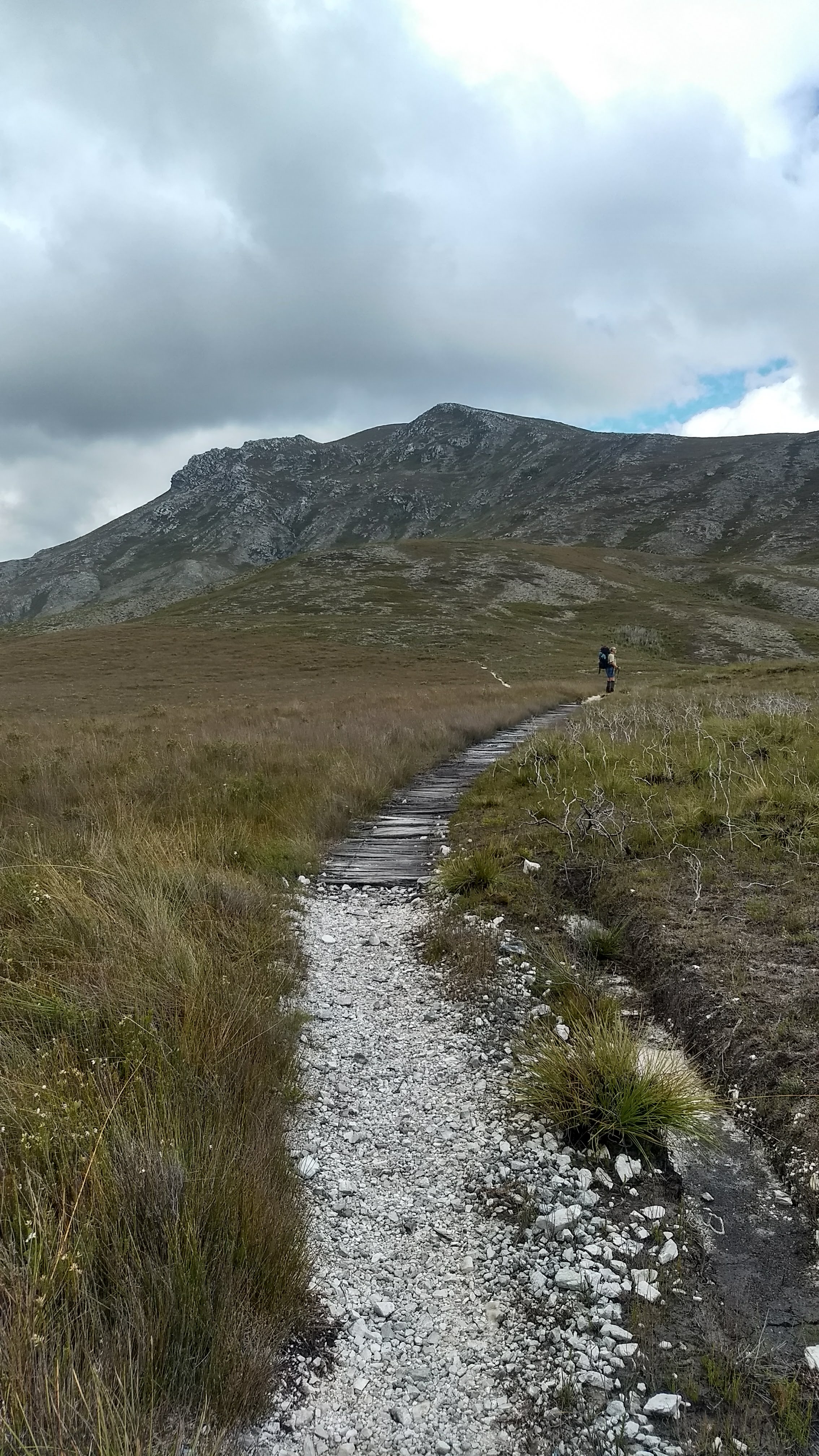
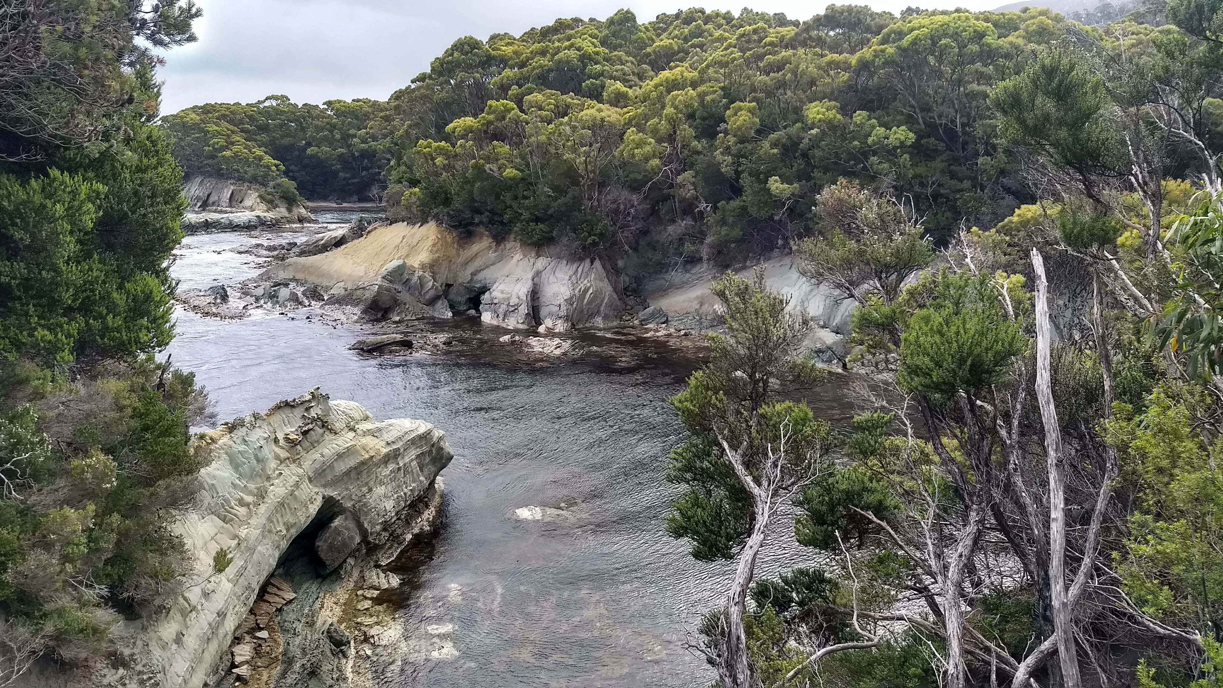
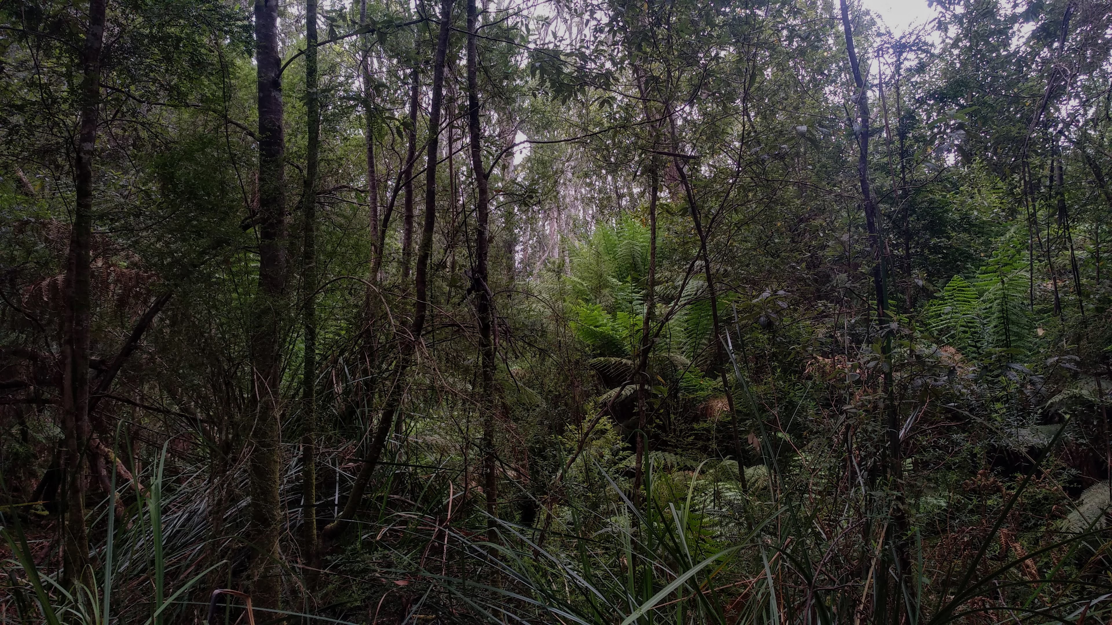
Living on the west coast opens up a whole heap of new bushwalking opportunities, and I’m excited to spend a lot of time exploring old tracks and roads through the bush. My first overnight walk here ended up being up in the North West though, around the foothills of the tremendous Black Bluff. The purpose of this trip was to survey a soon to be logged section of native forest halfway up Black Bluff, but we also camped for a night, intending to have a long scenic walk back out.
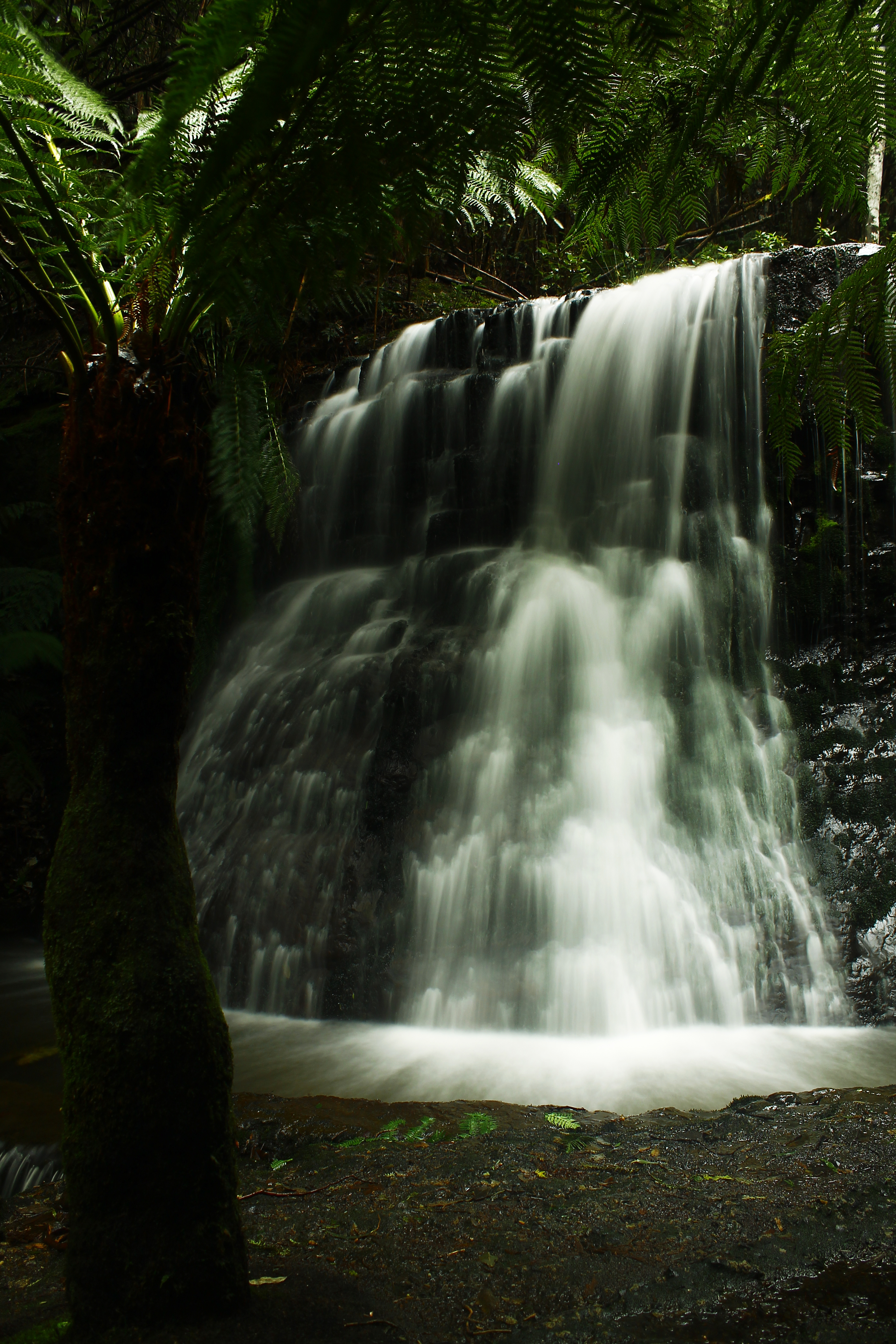
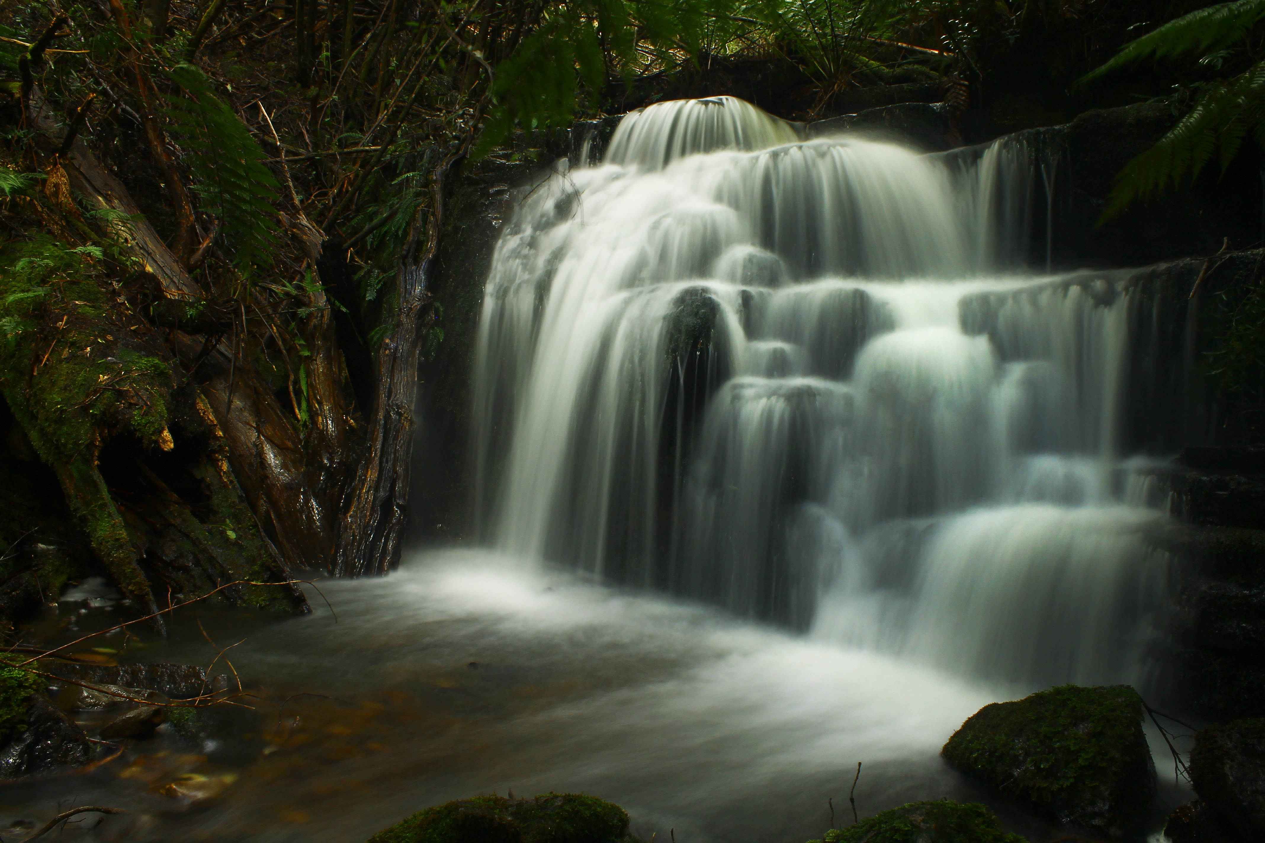
We started the walk from the car park for the popular, but un-maintained Winterbrook Falls track. To get to the car park for this walk, you have to weave through a maze of forestry roads in a large section of plantation forest south of Nietta, with hardly any signs to guide you. The current car park for the walk is 800 metres back from the original car park due to some serious road erosion (really big holes in the ground) and the start of the walk is indicated by some scribbling on an old road-works sign. Supposedly, management of this track has recently been handed over from forestry to Parks and Wildlife, so we may see some work done on it soon (although maybe not).
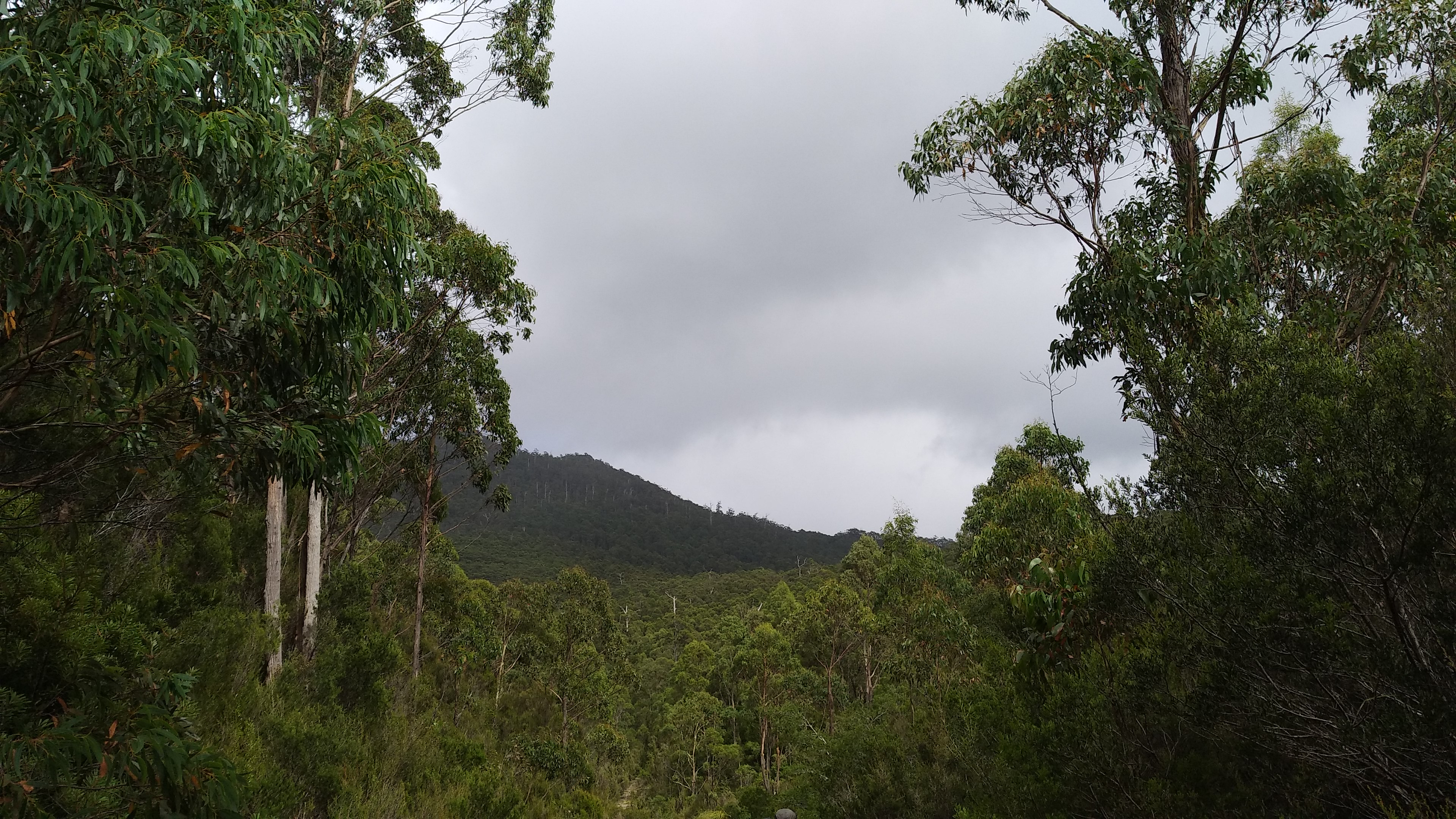
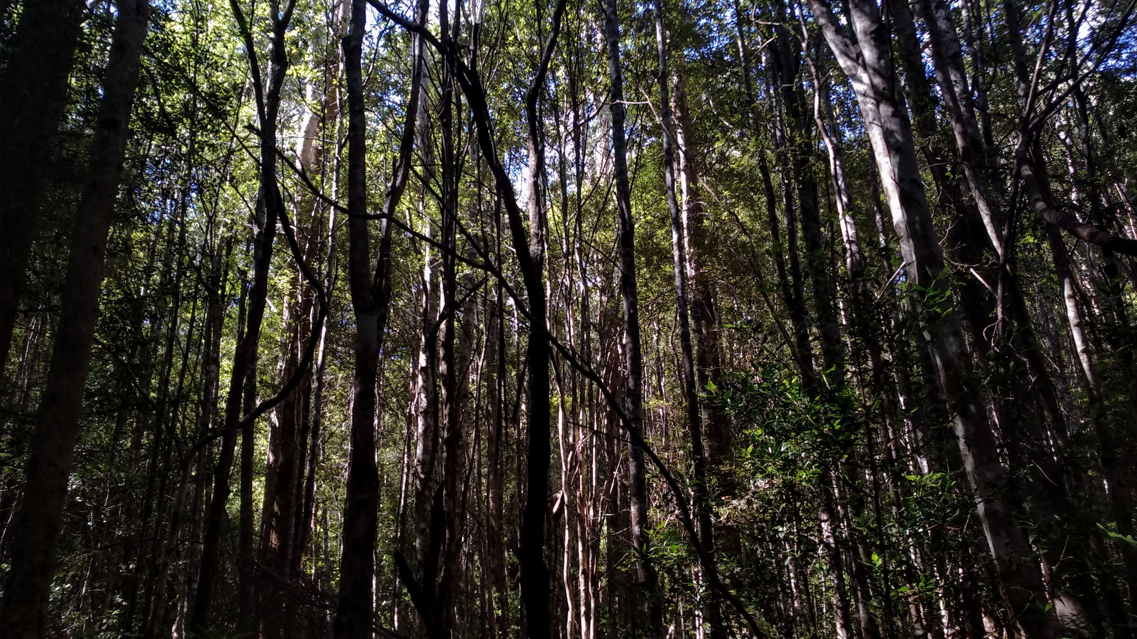
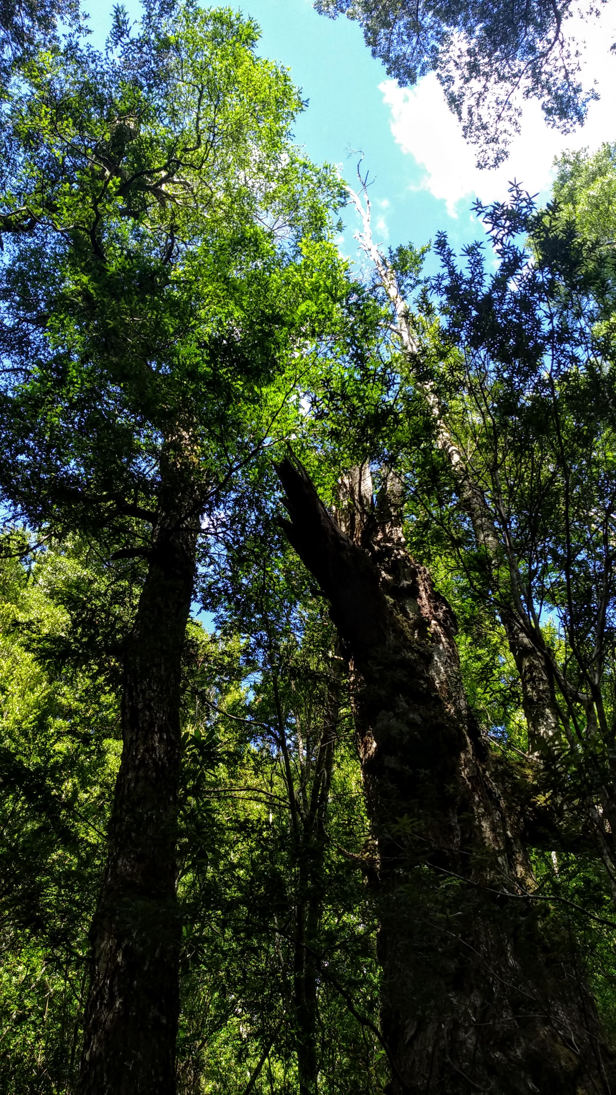
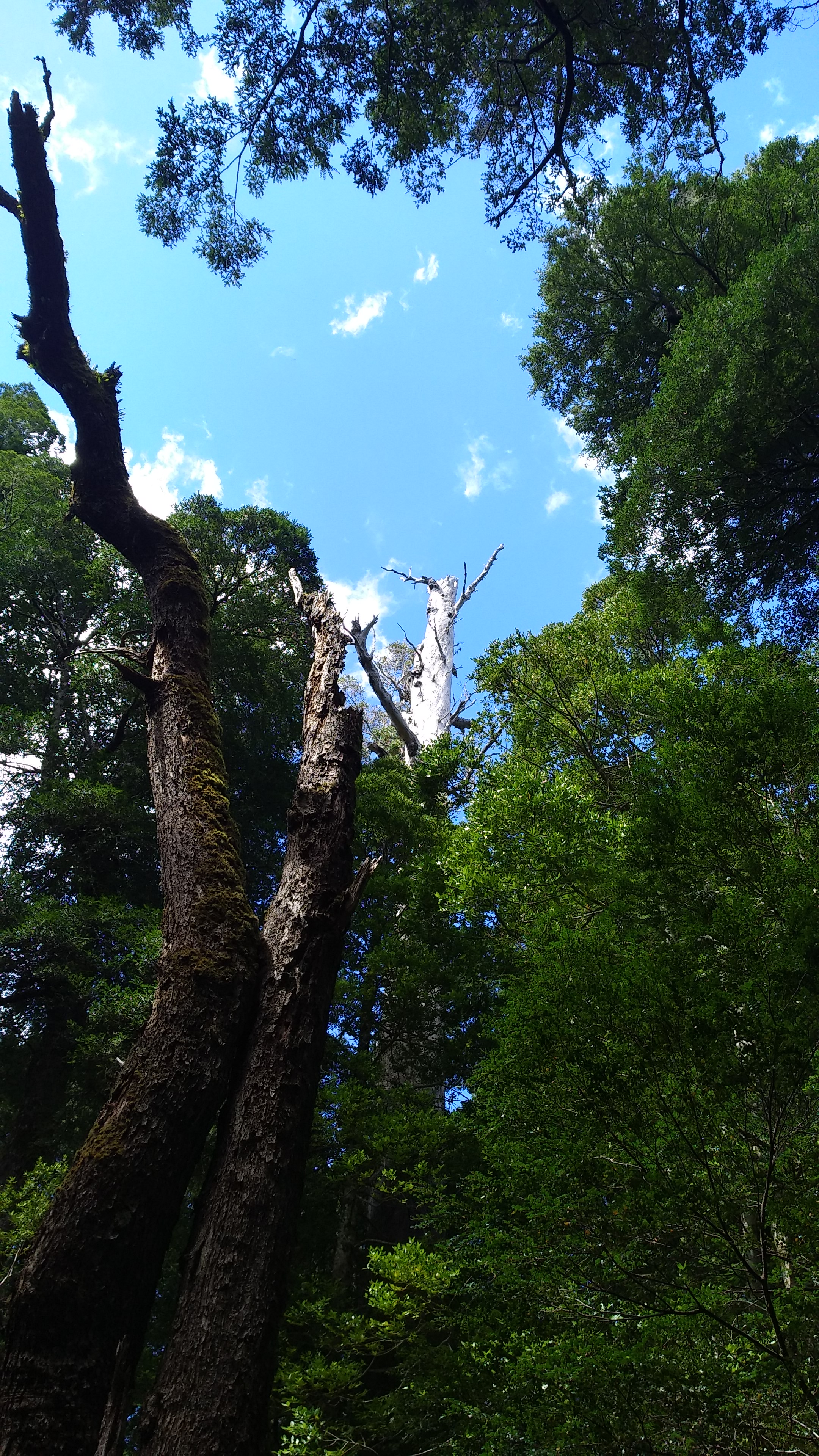
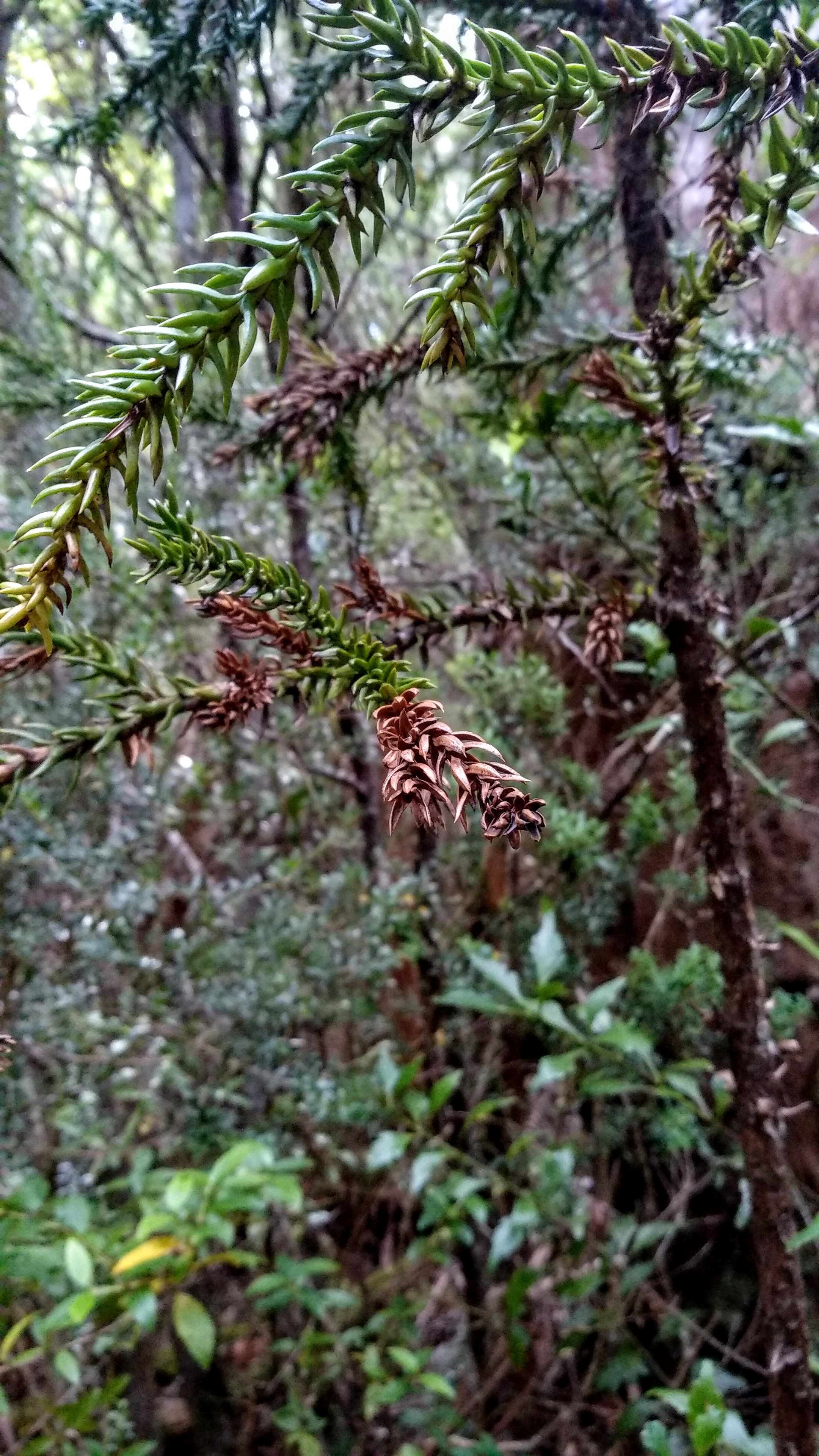
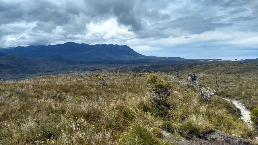
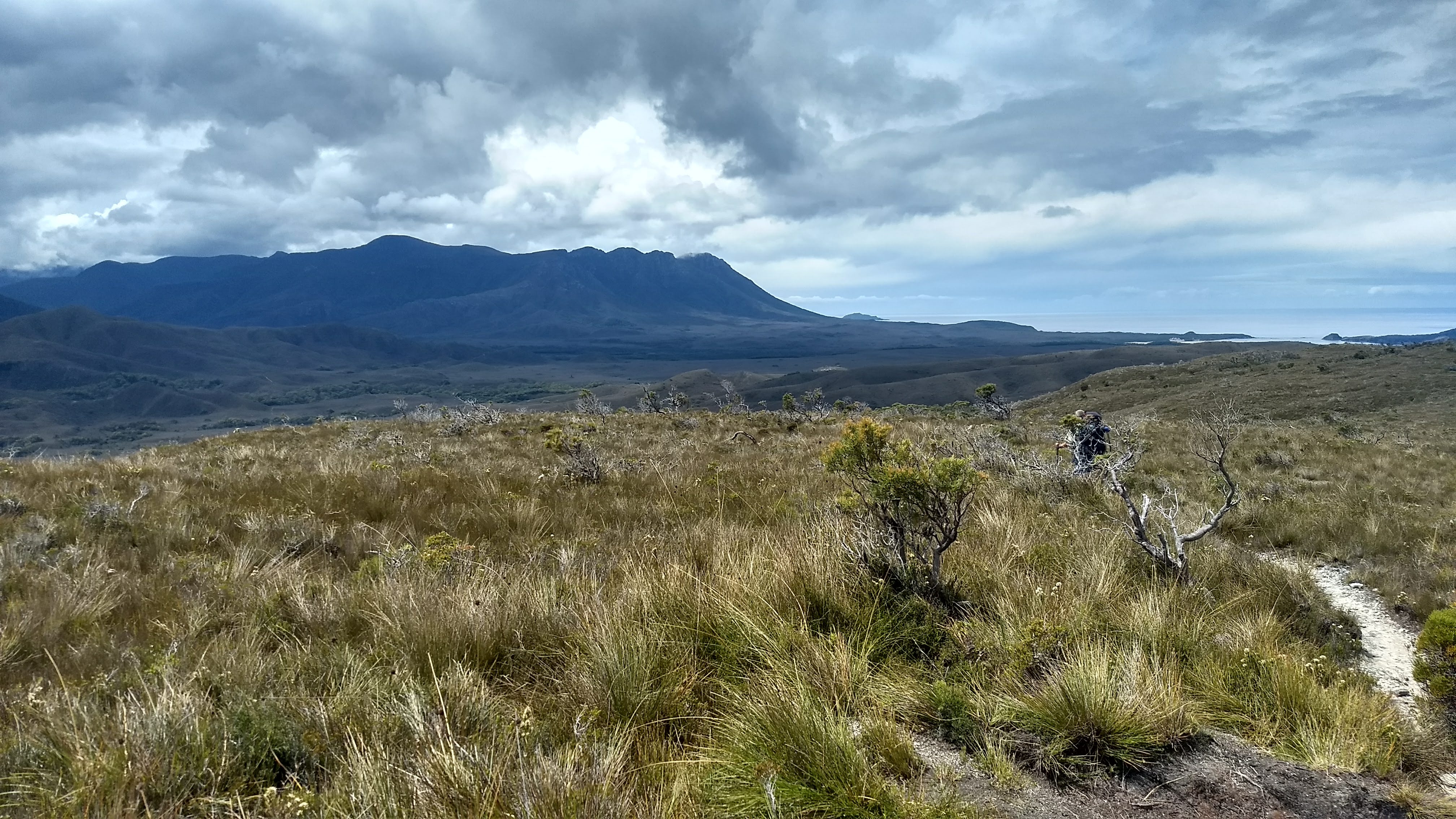
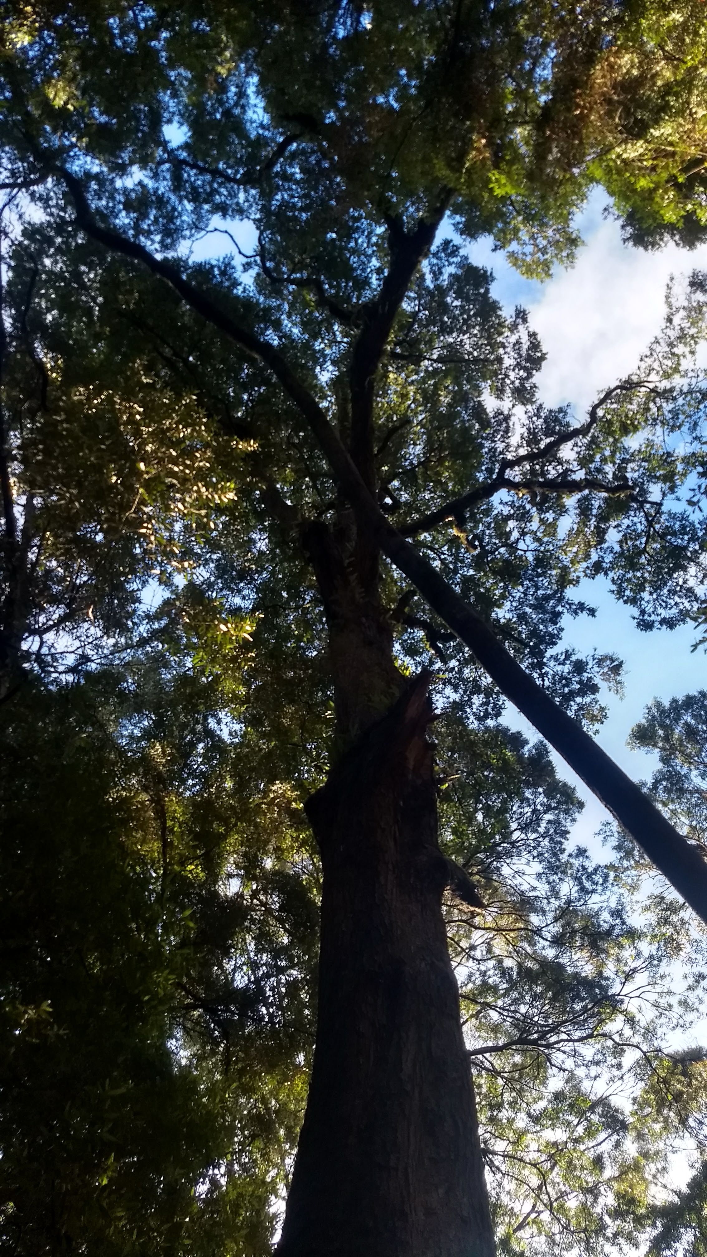
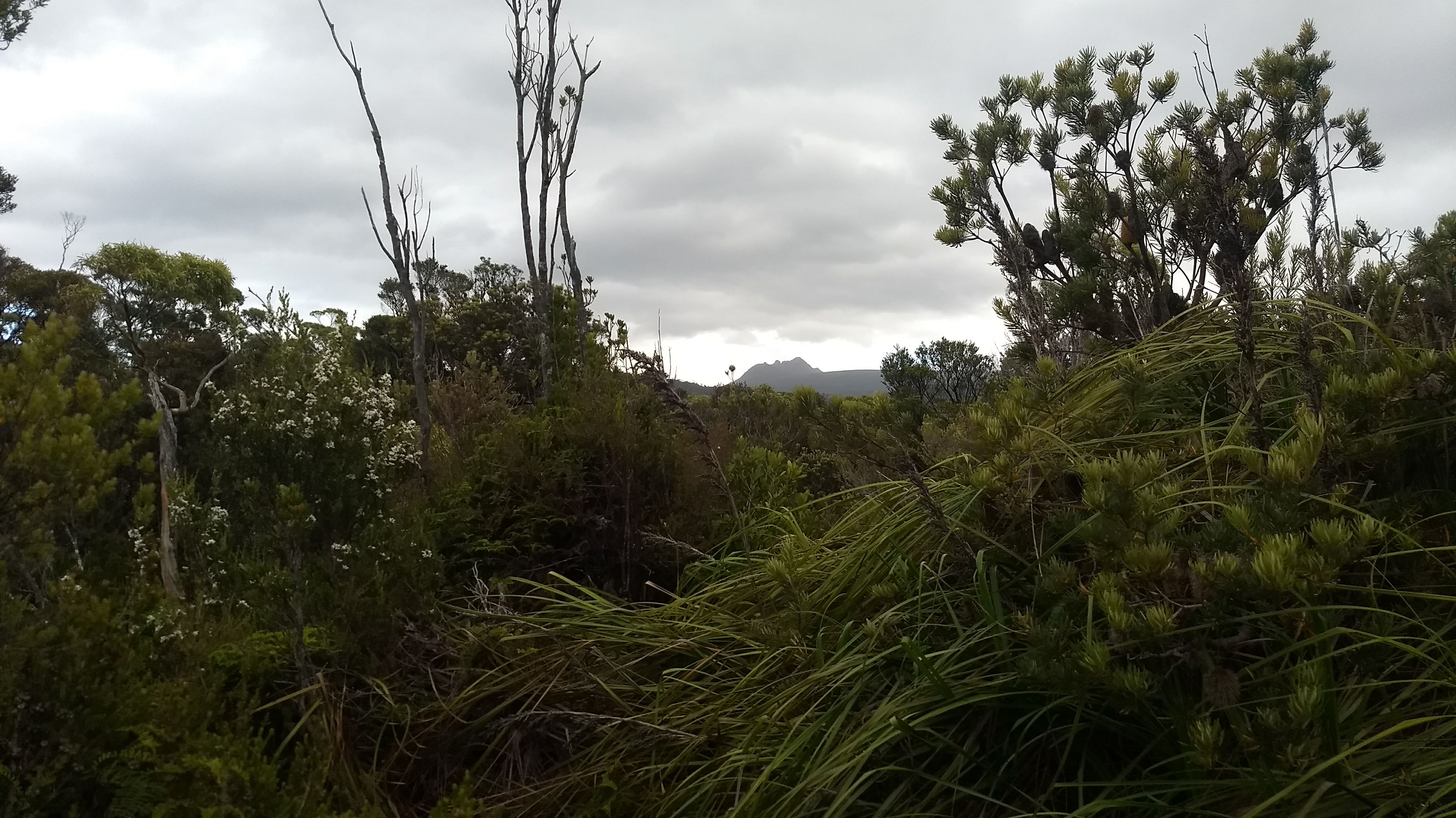
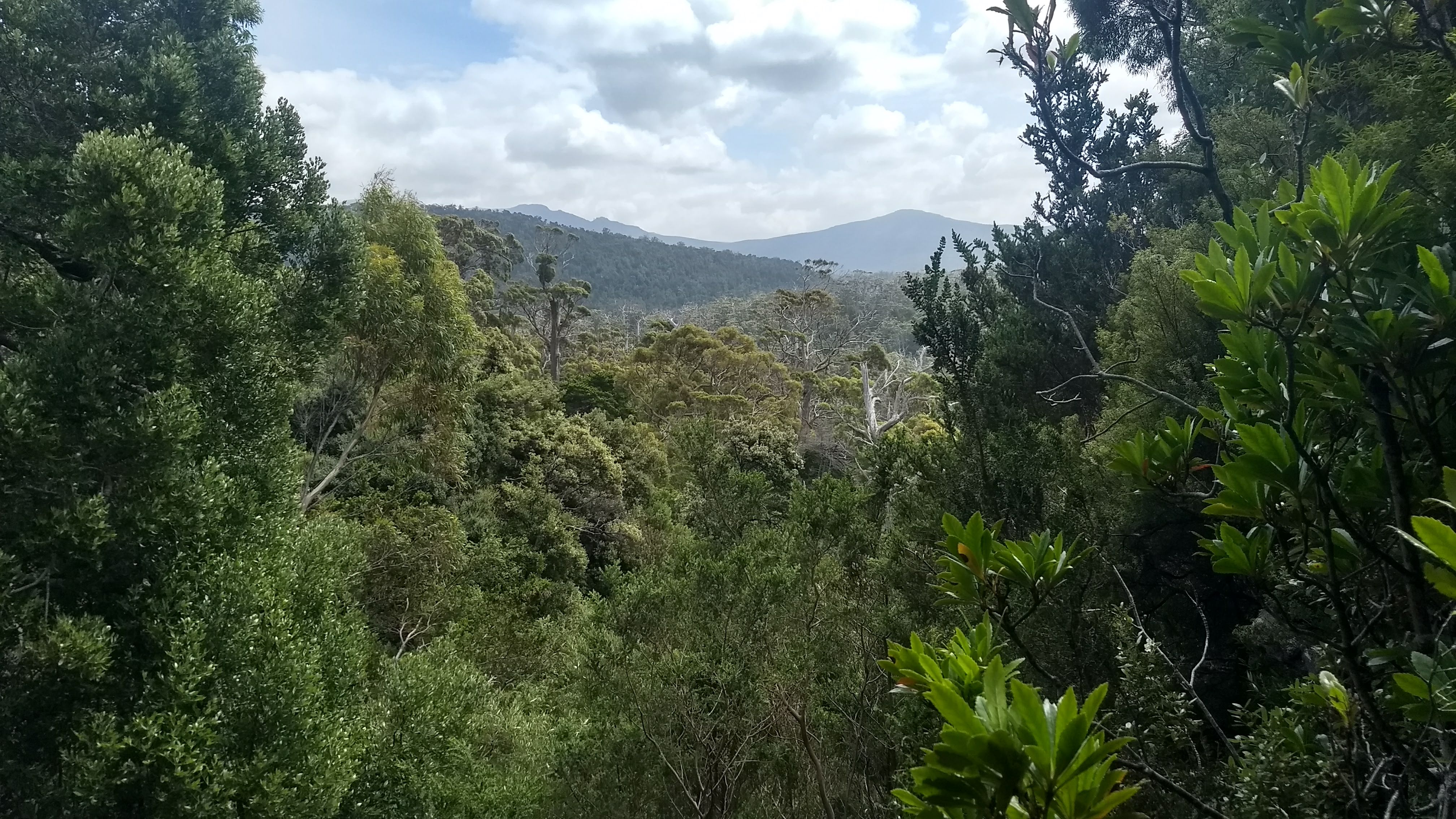
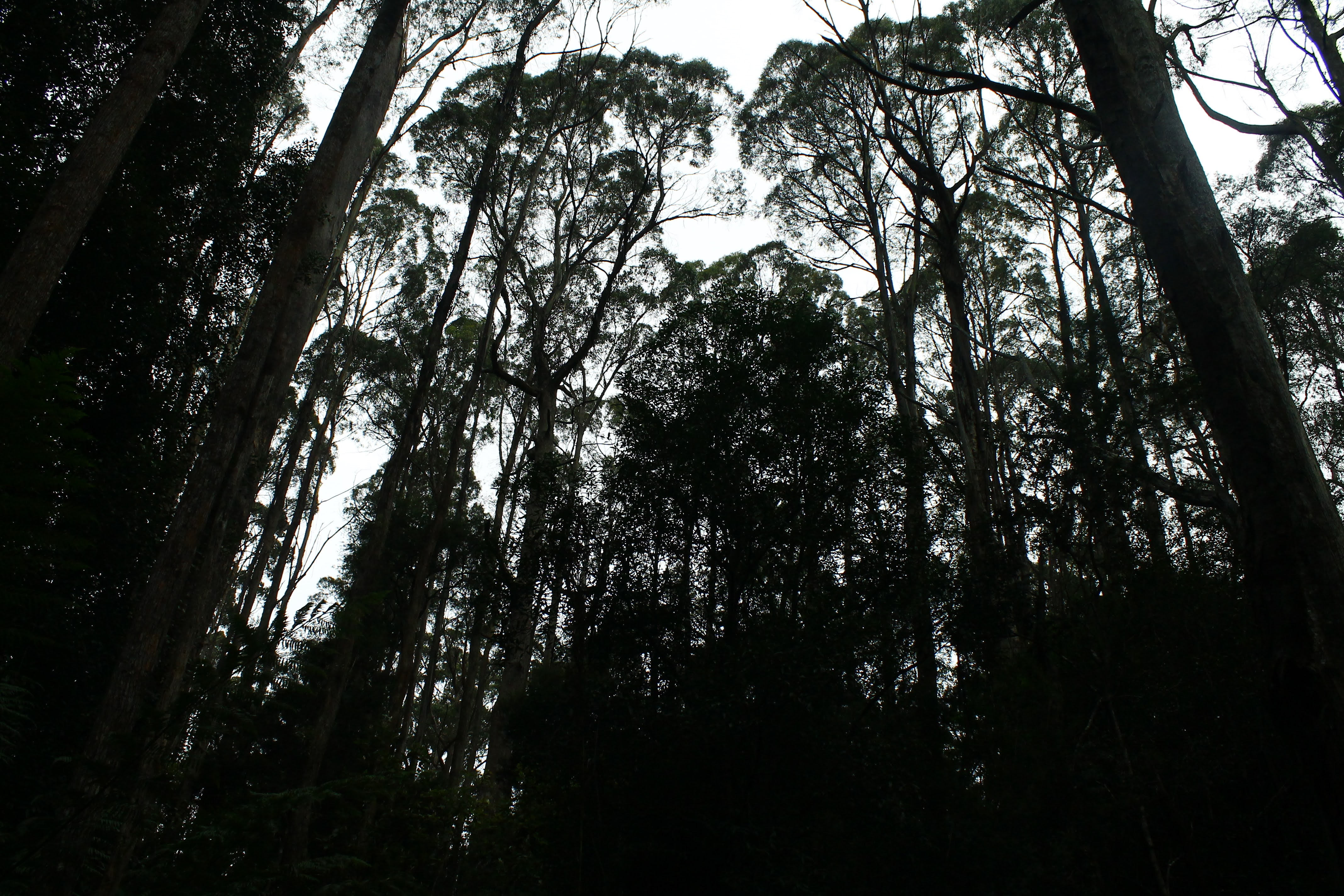
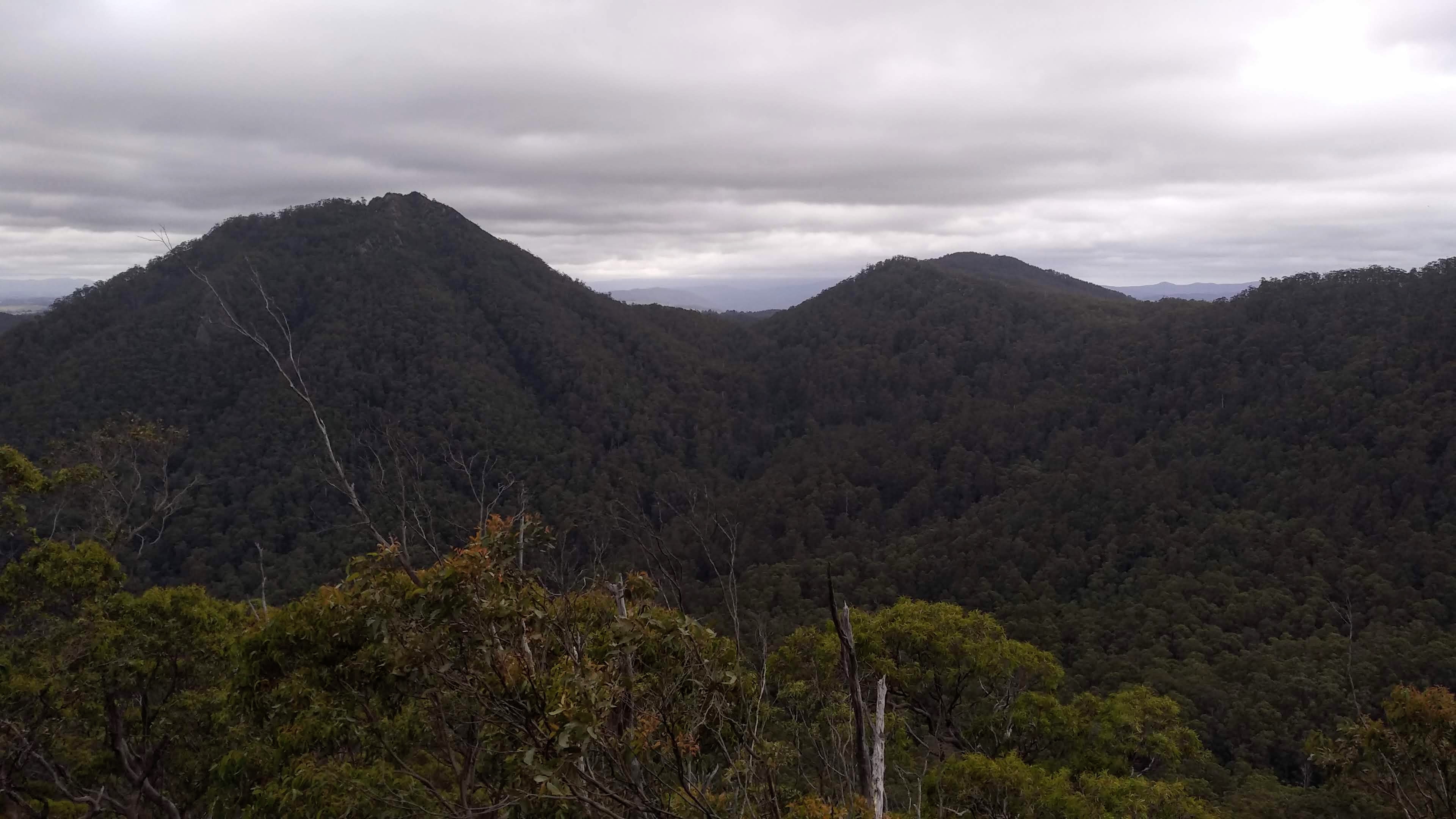
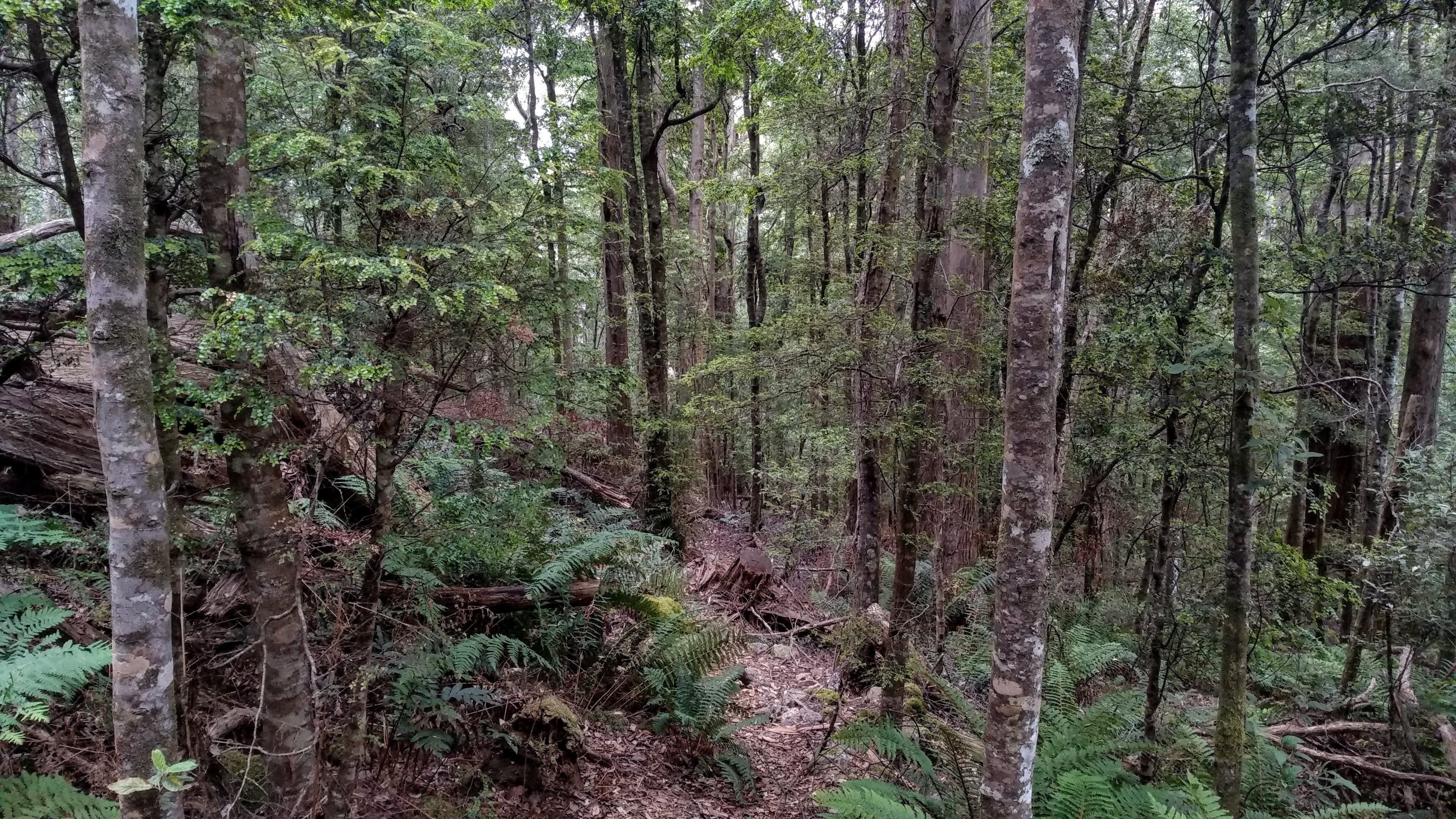
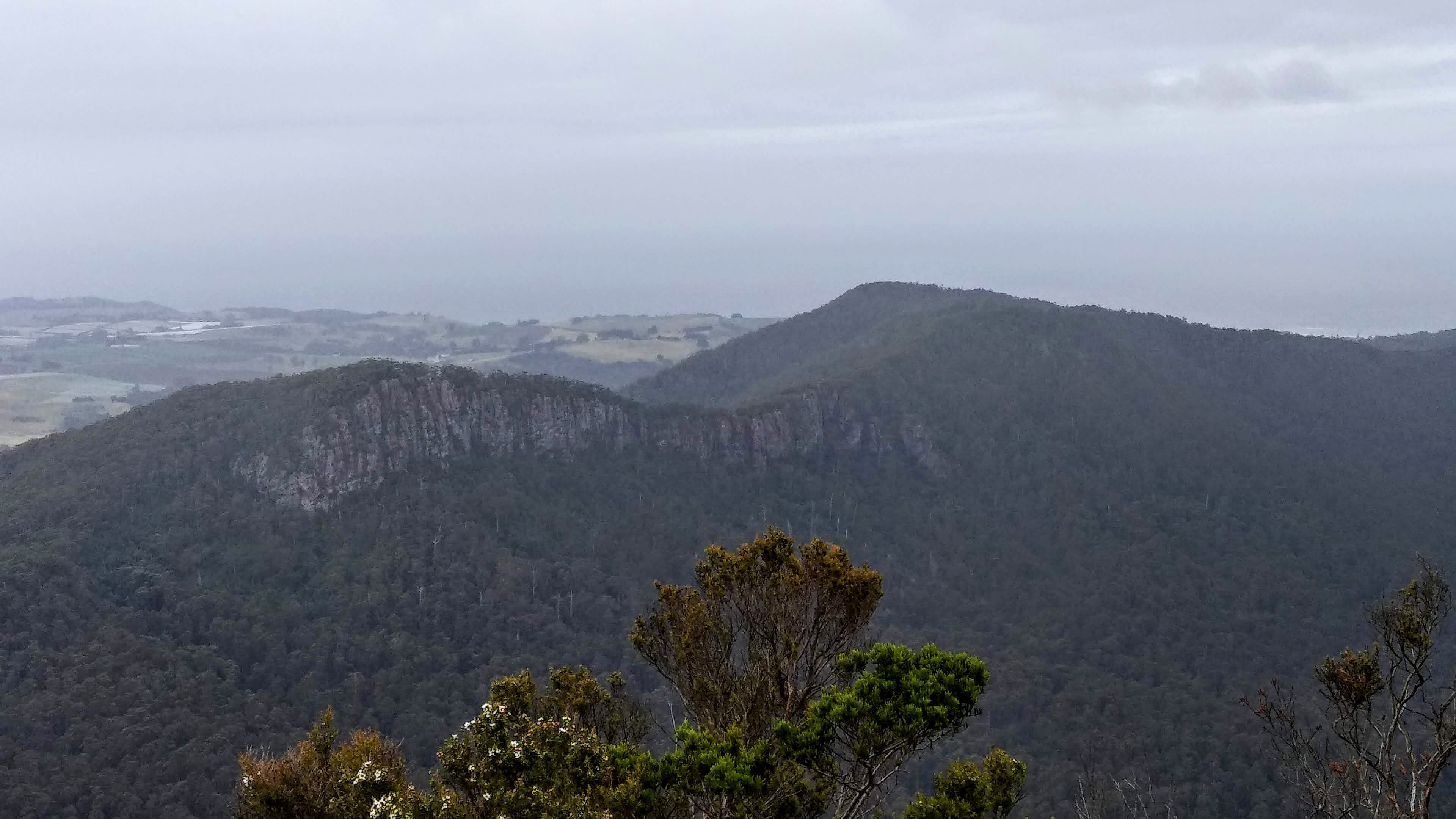
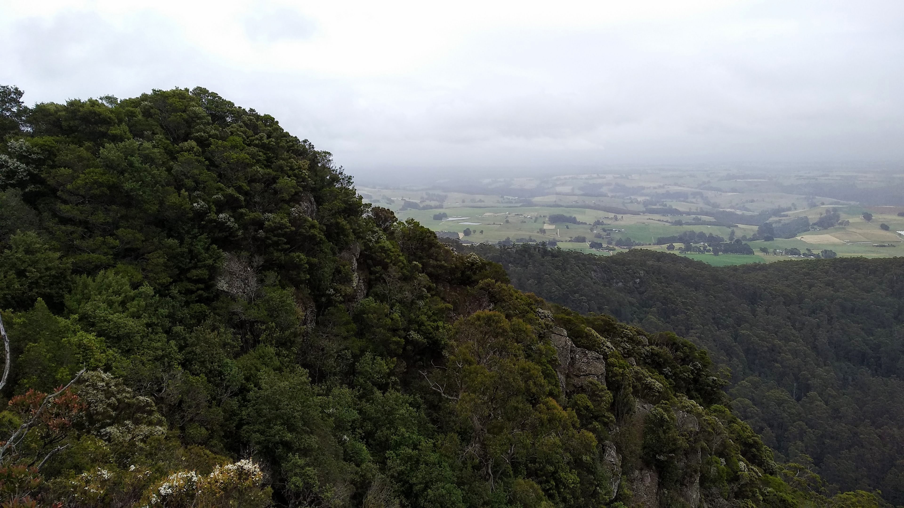
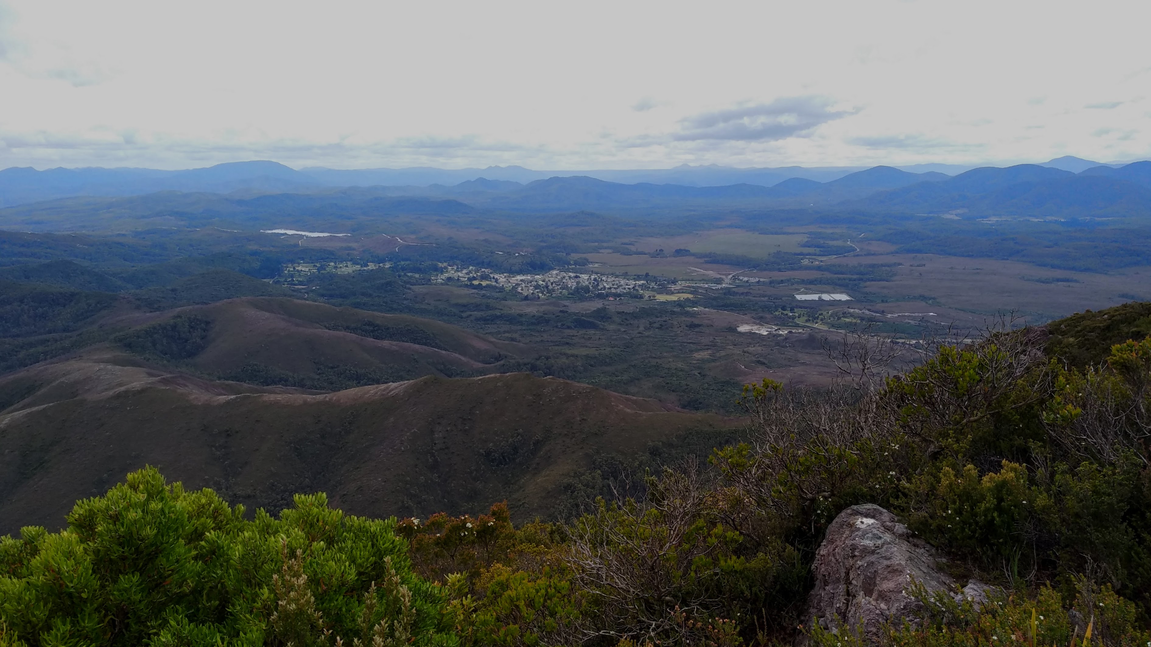
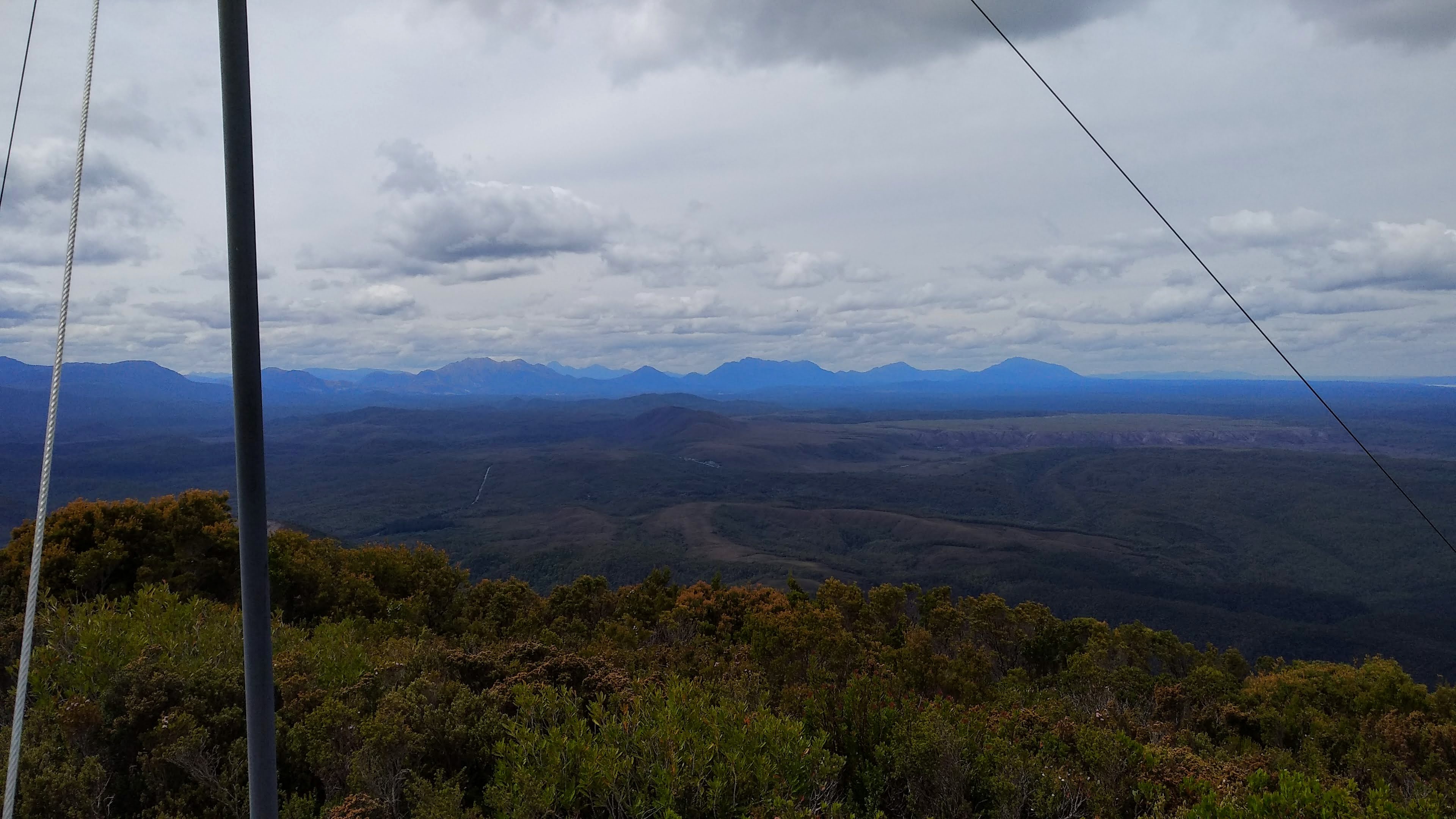
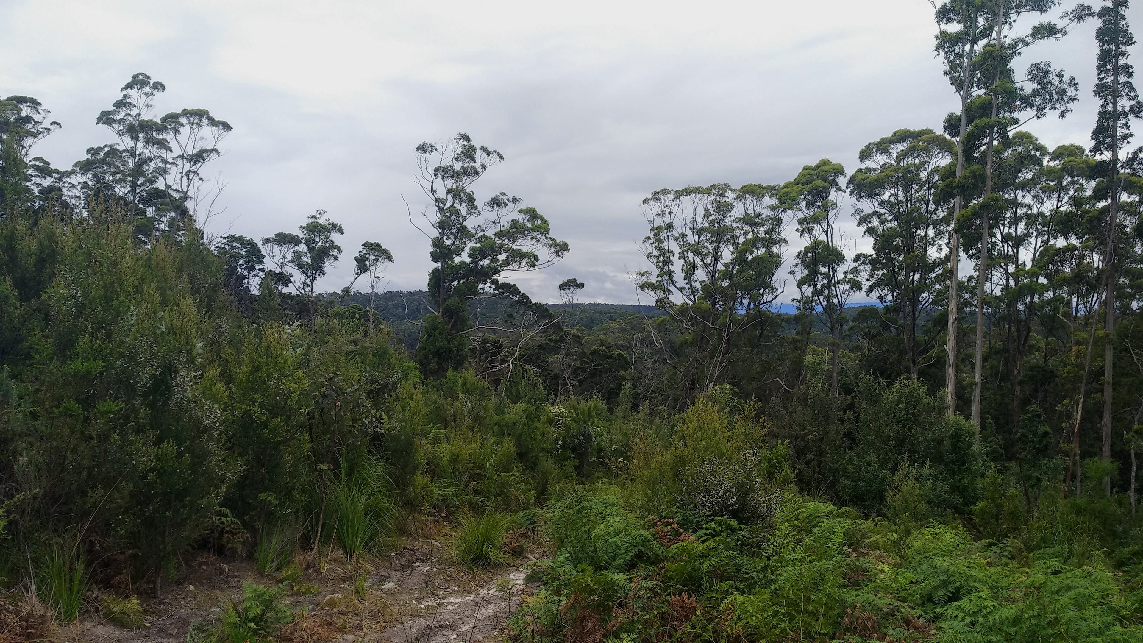
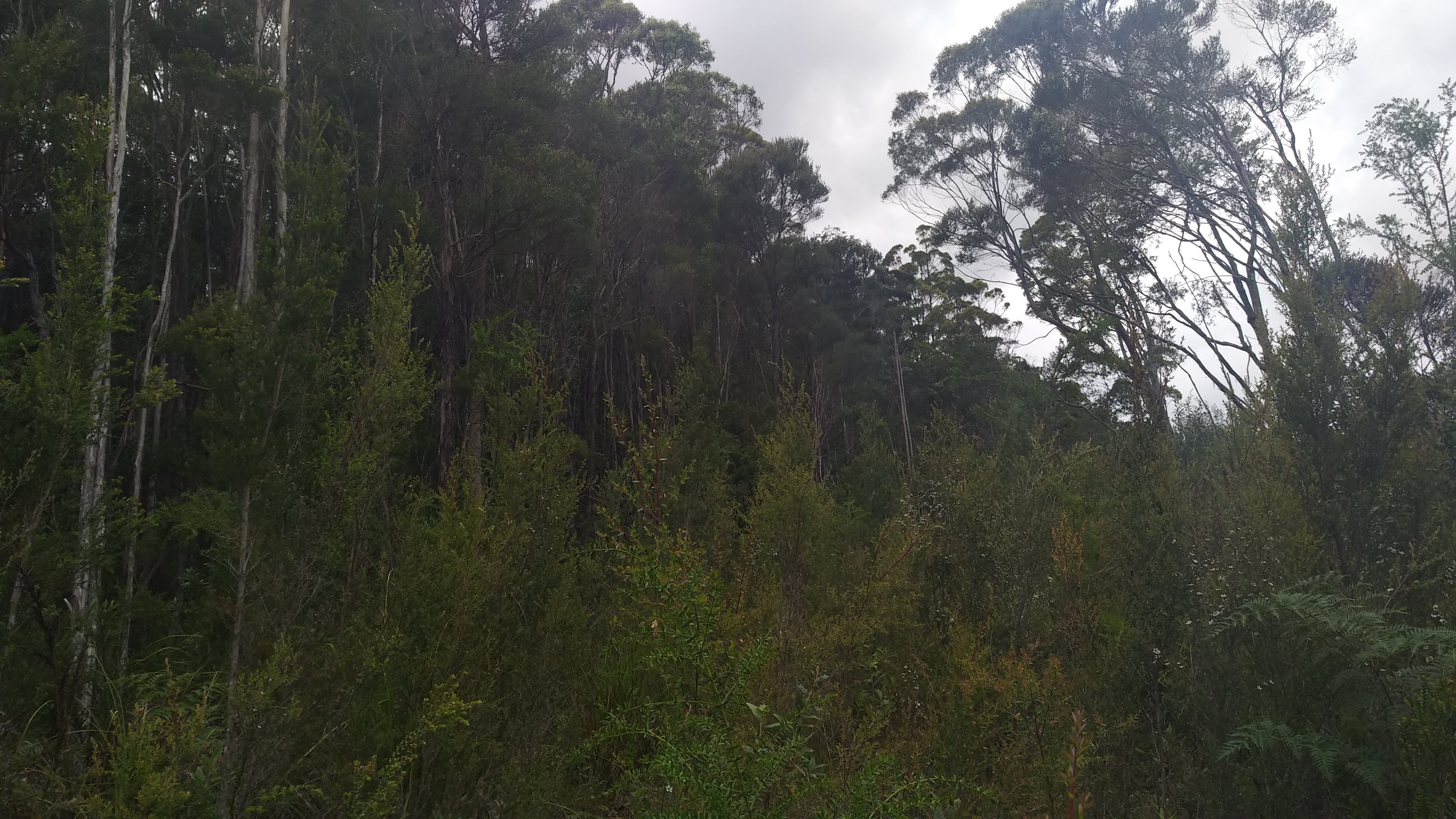
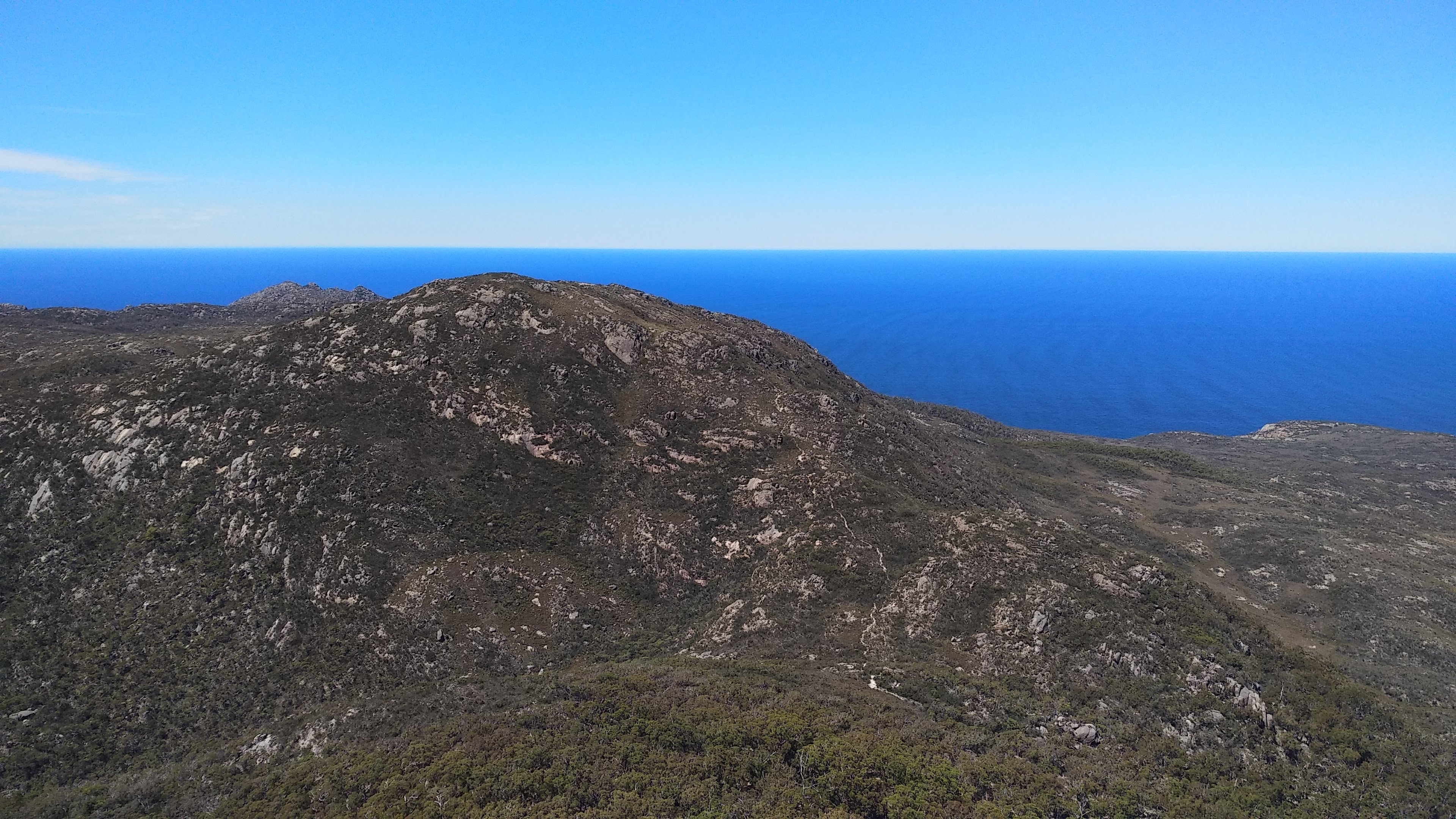
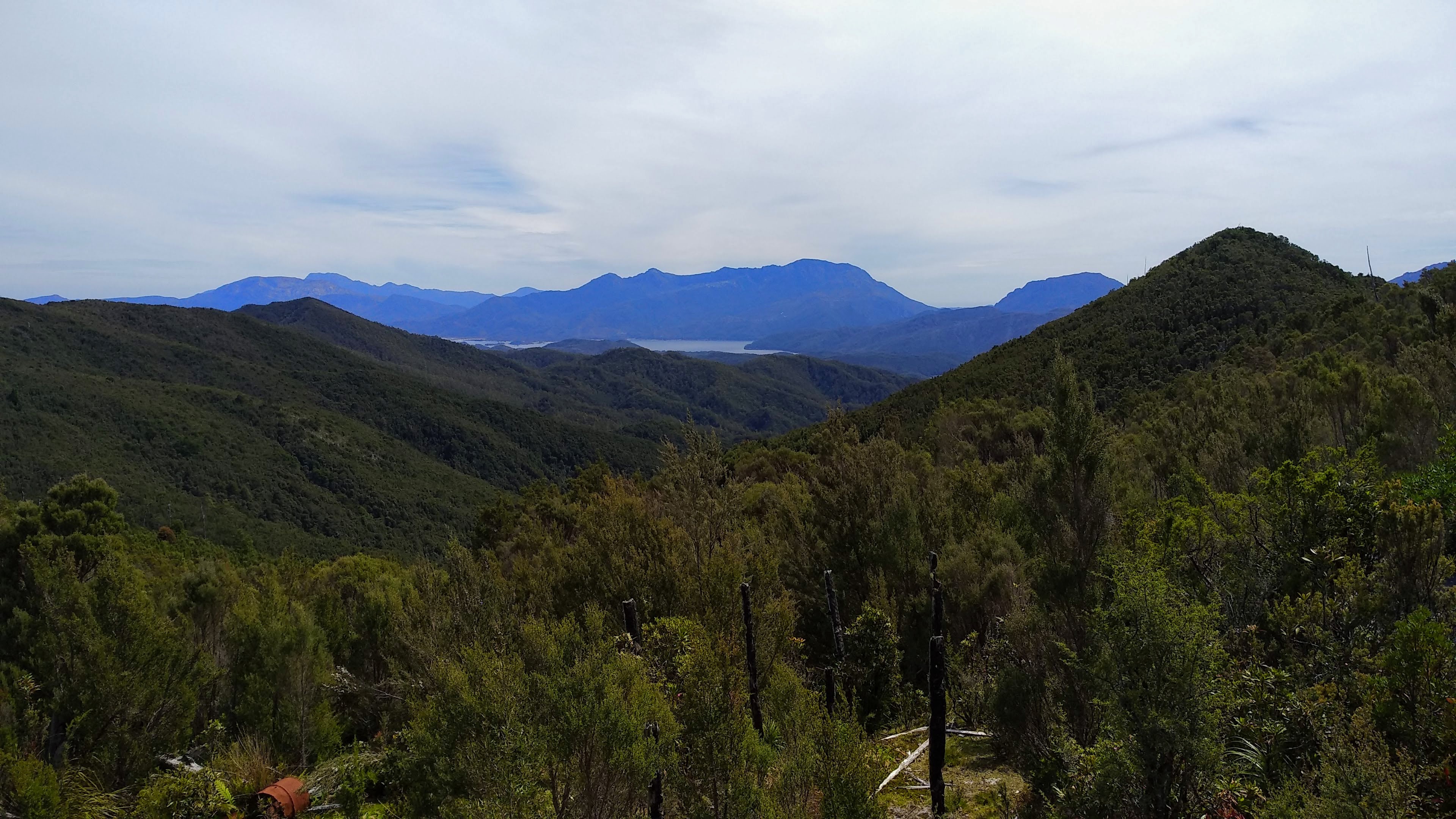
We quickly diverted from this track along an old forestry road heading North-West. This road leads through some young regrowth forest and at a few points had some nice views up to Black Bluff.
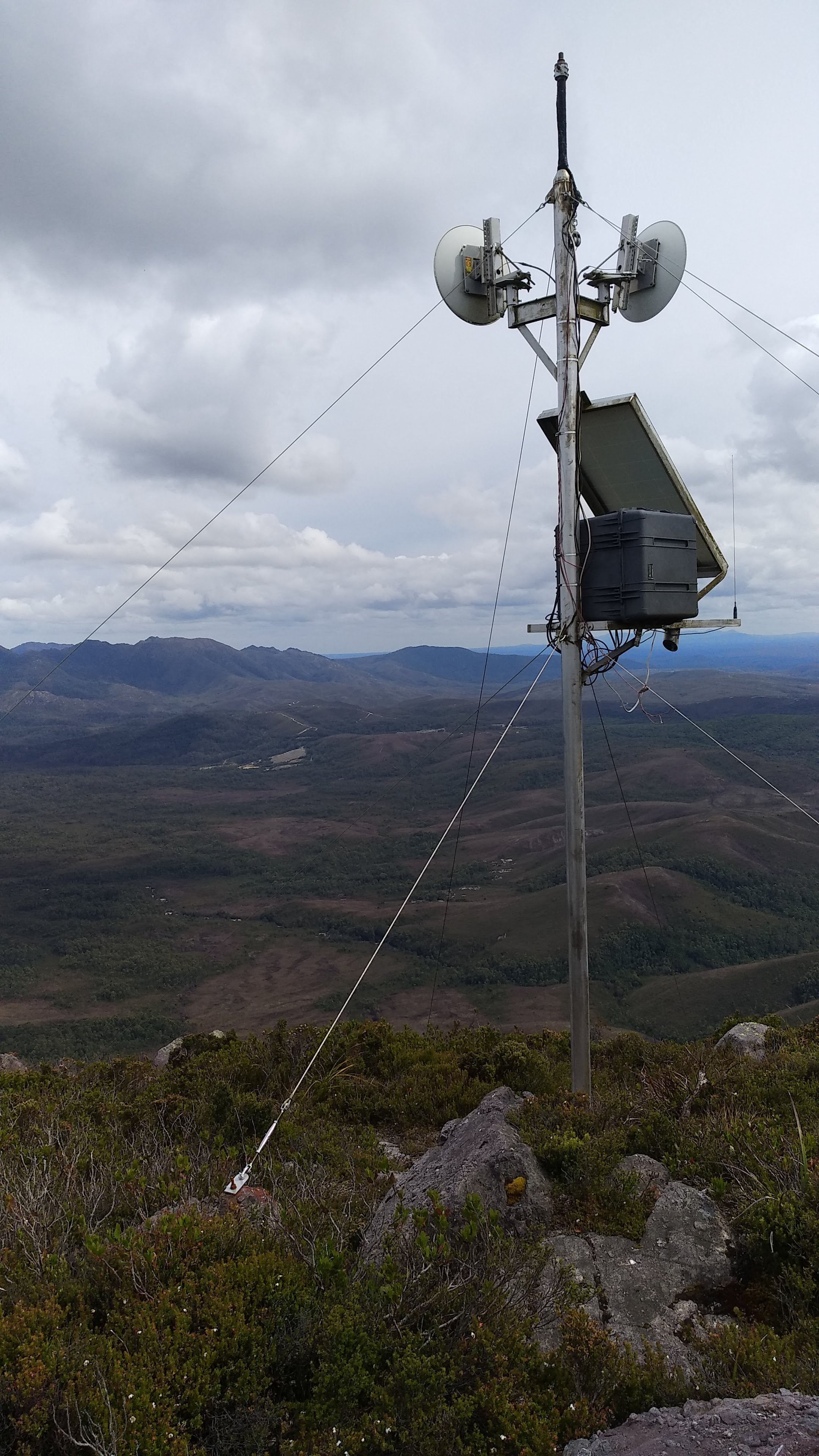
Looking up towards Black Bluff
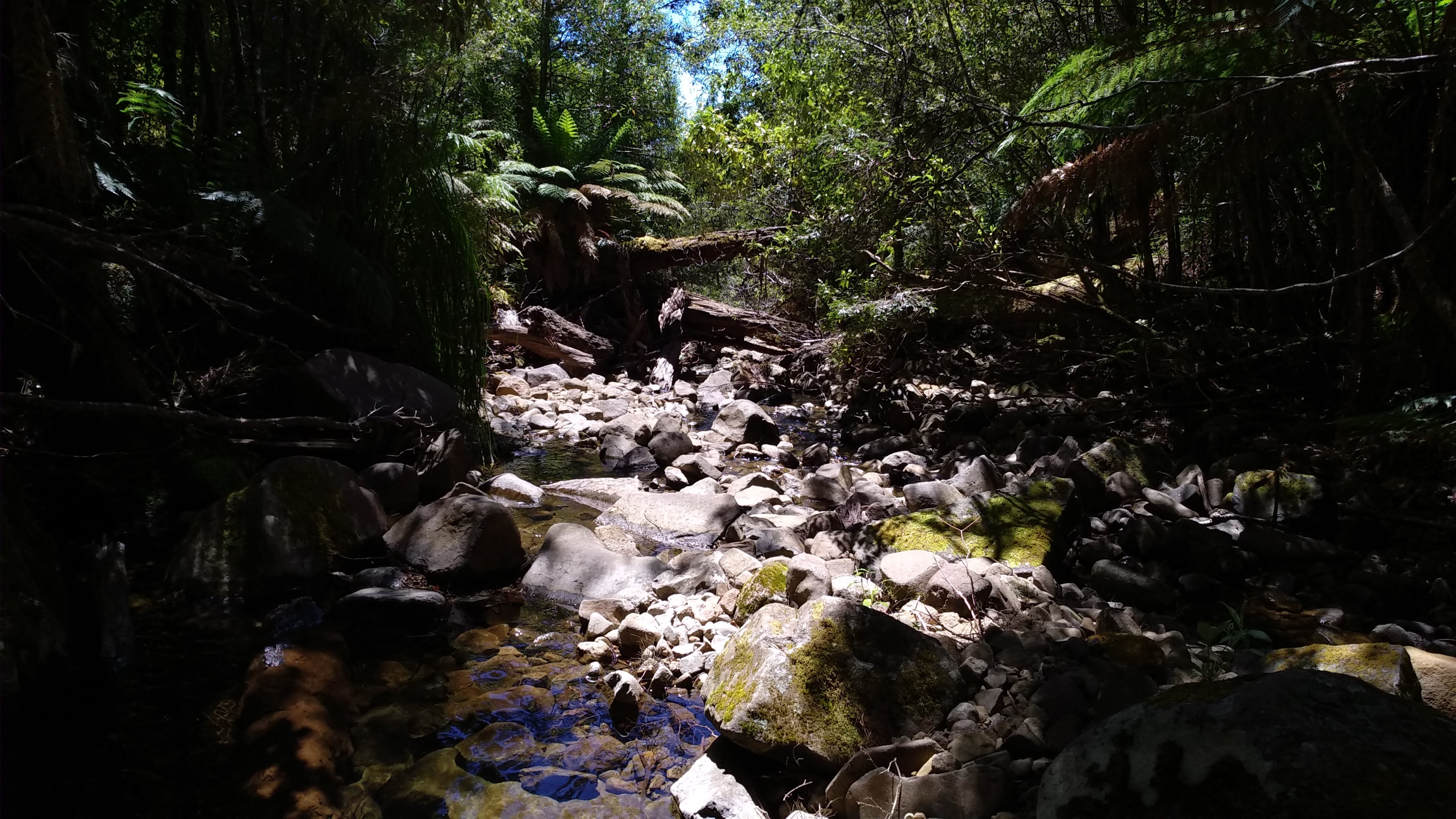
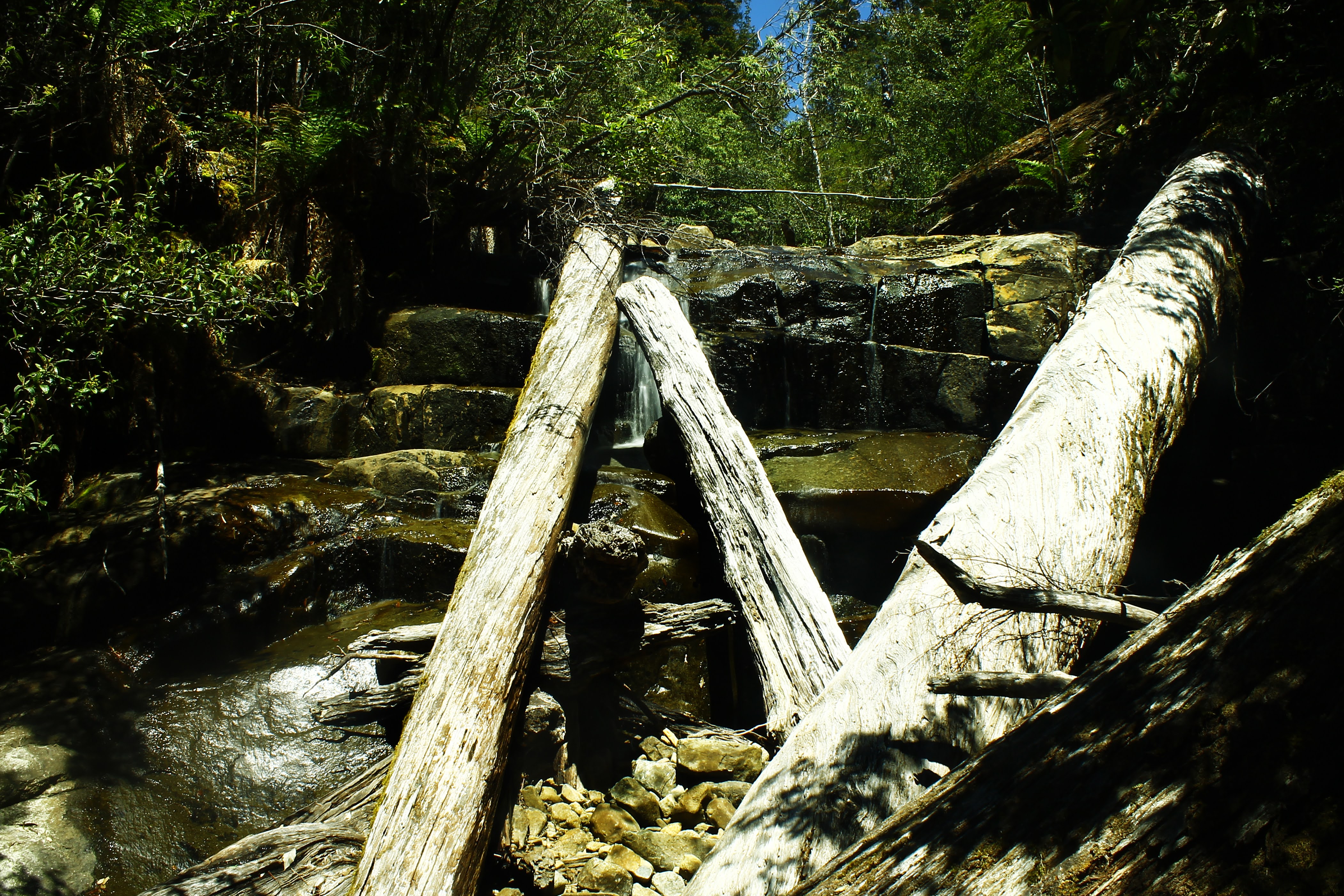
While it was young forest, it had clearly been left long enough for the bridge across a Winter Brook tributary to have completely collapsed. The creek was crossable, but considering my recent experiences with creek crossings on the South Coast, I wasn’t too keen on that. We managed to utilise the remaining logs of the fallen bridge to cross “safely”, though it did feel as though the logs were going to collapse underfoot.
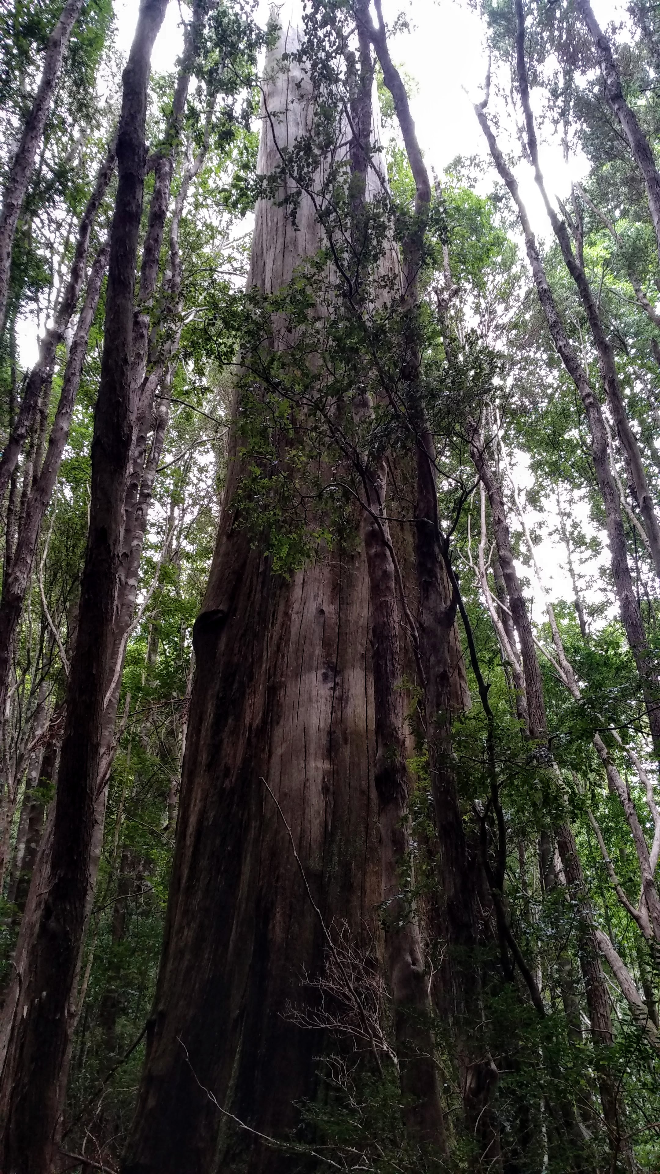
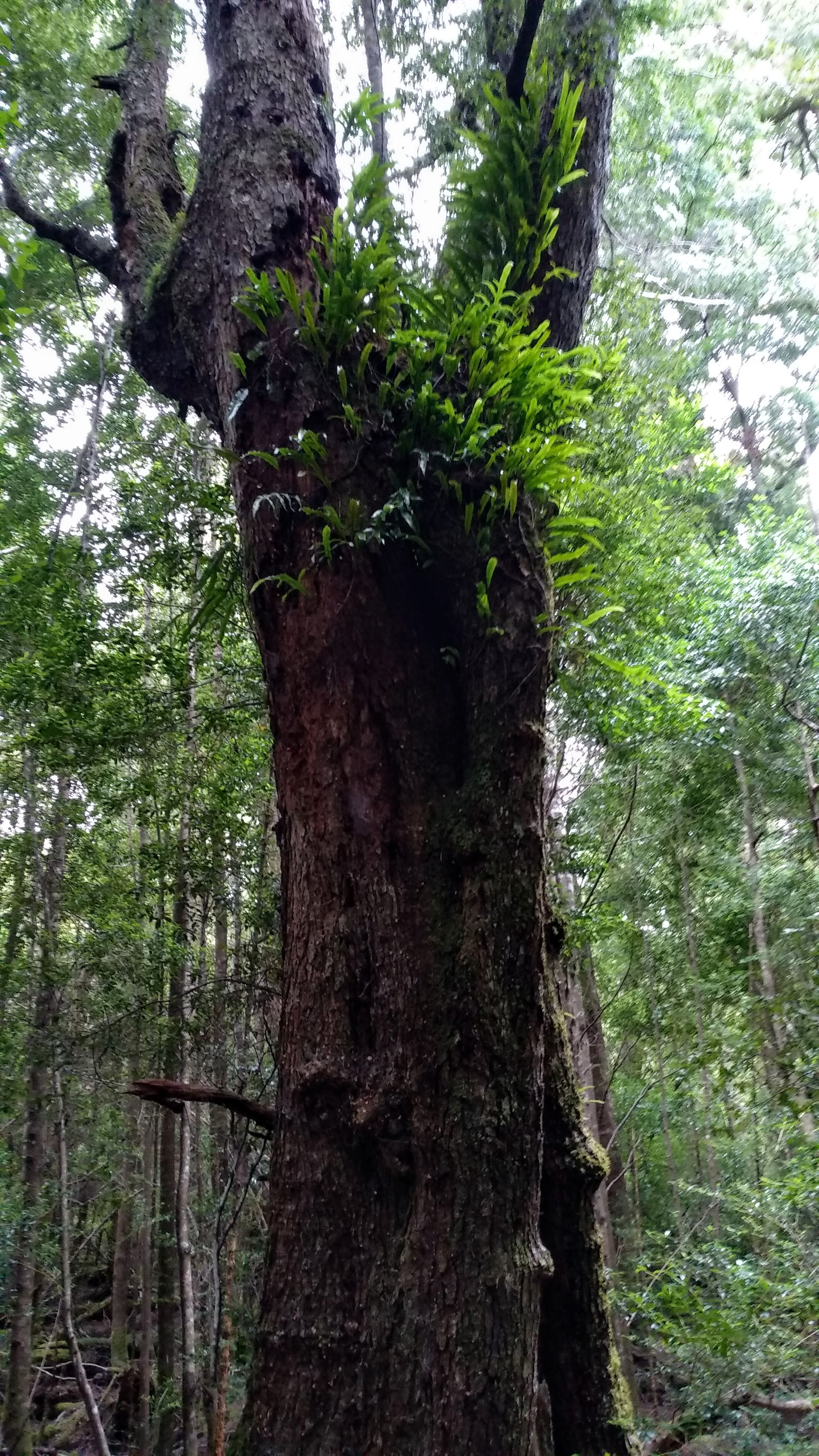
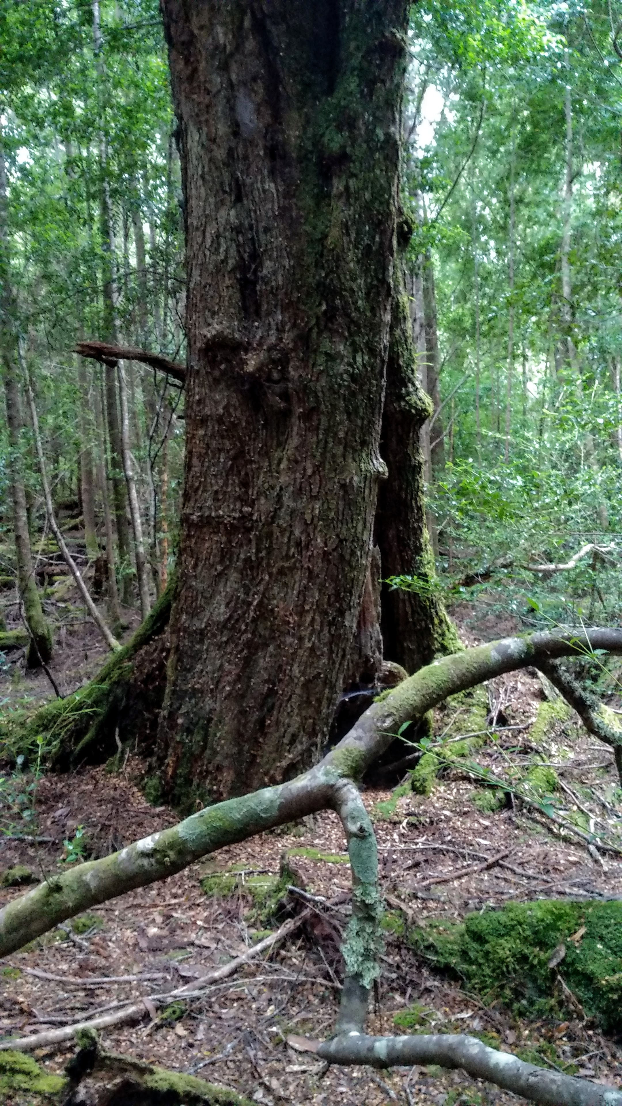
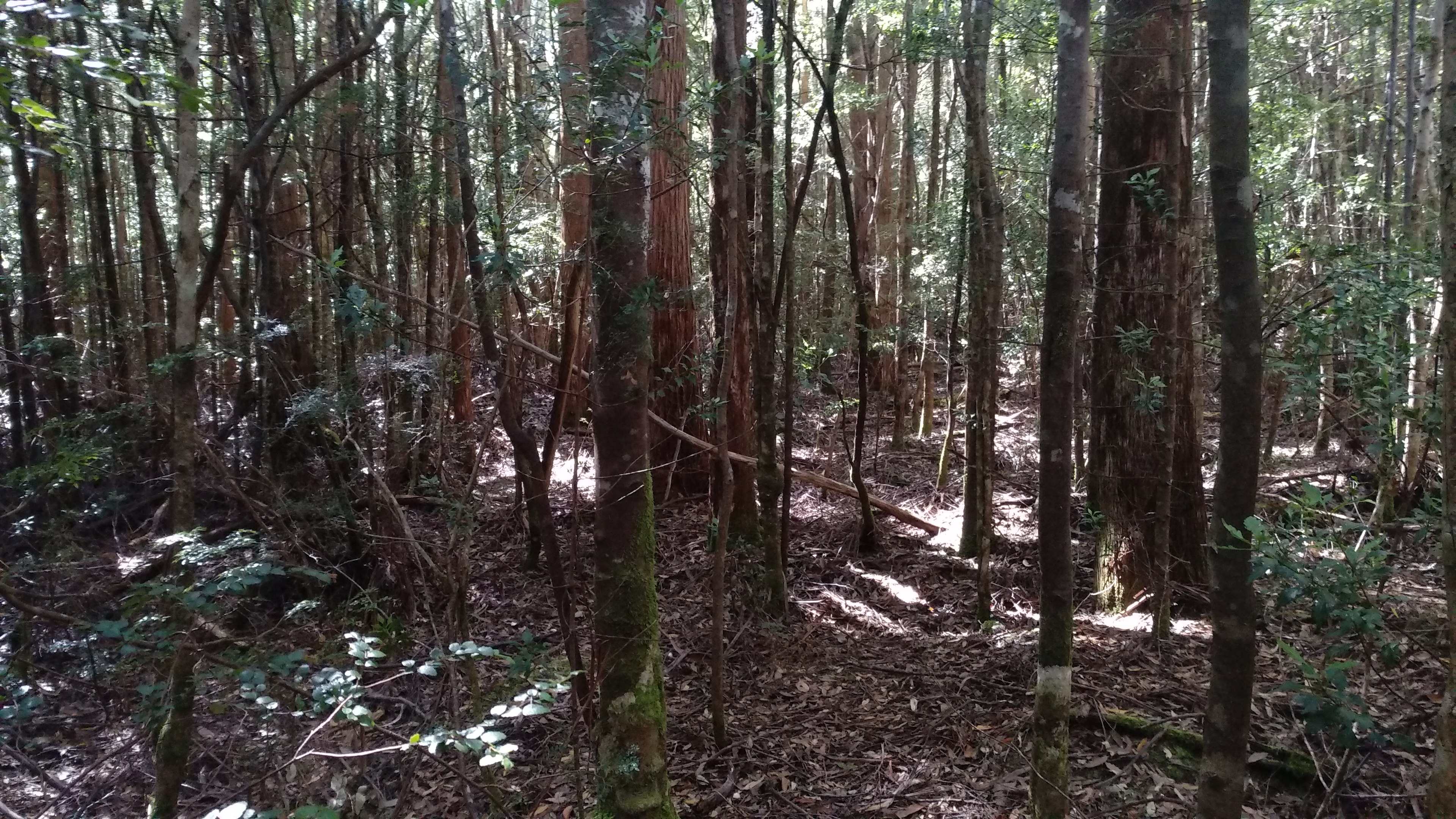
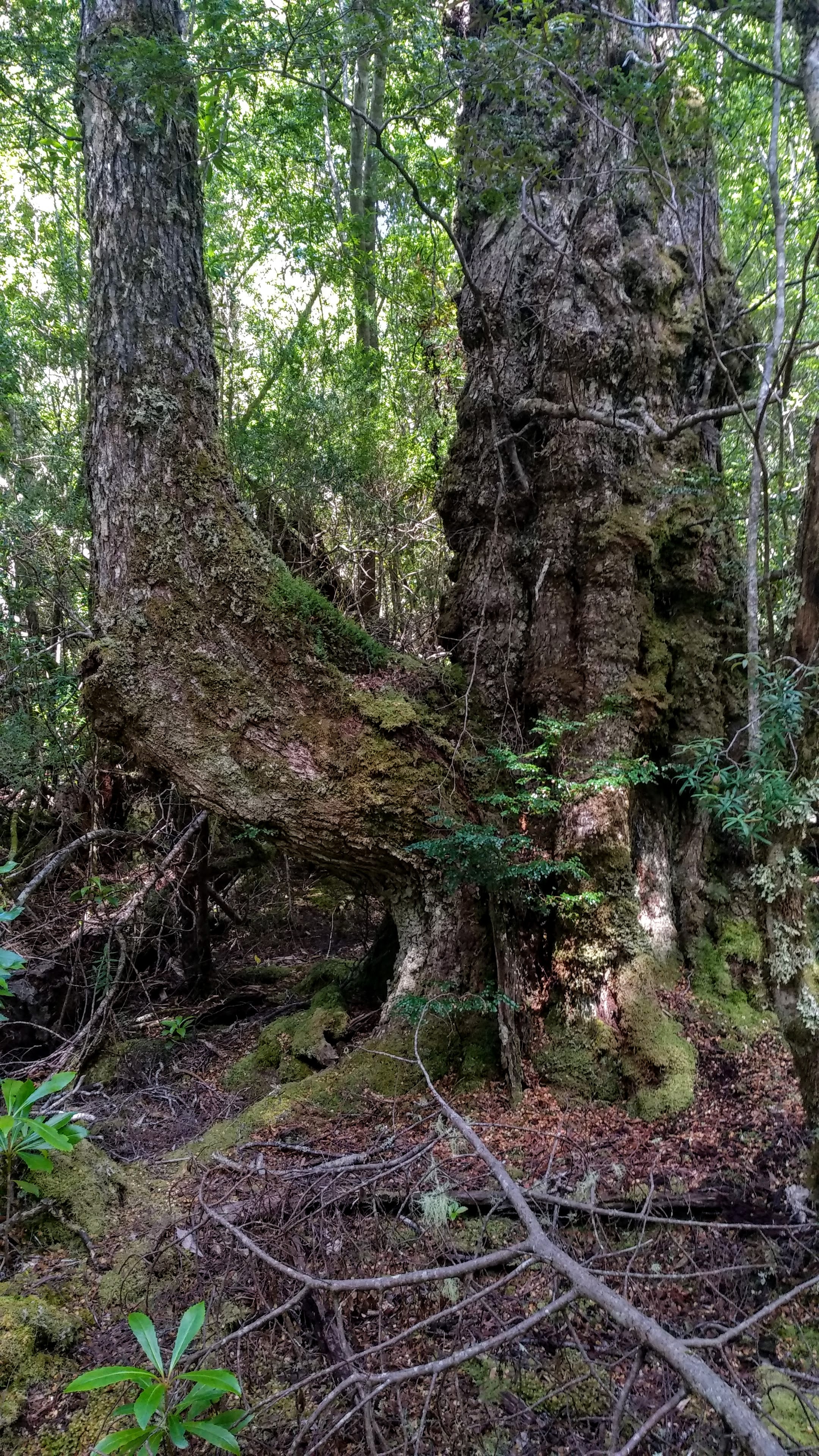
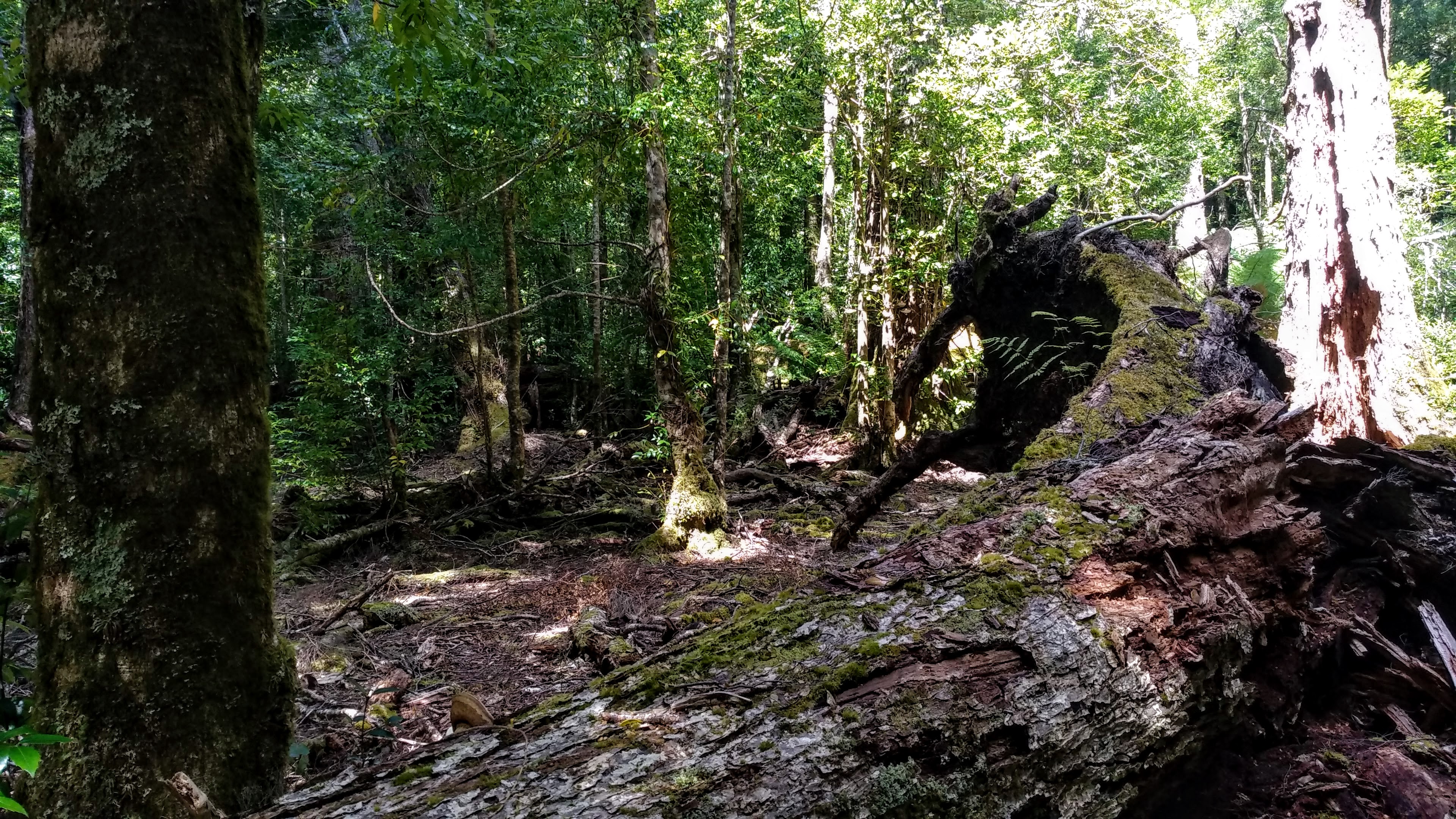
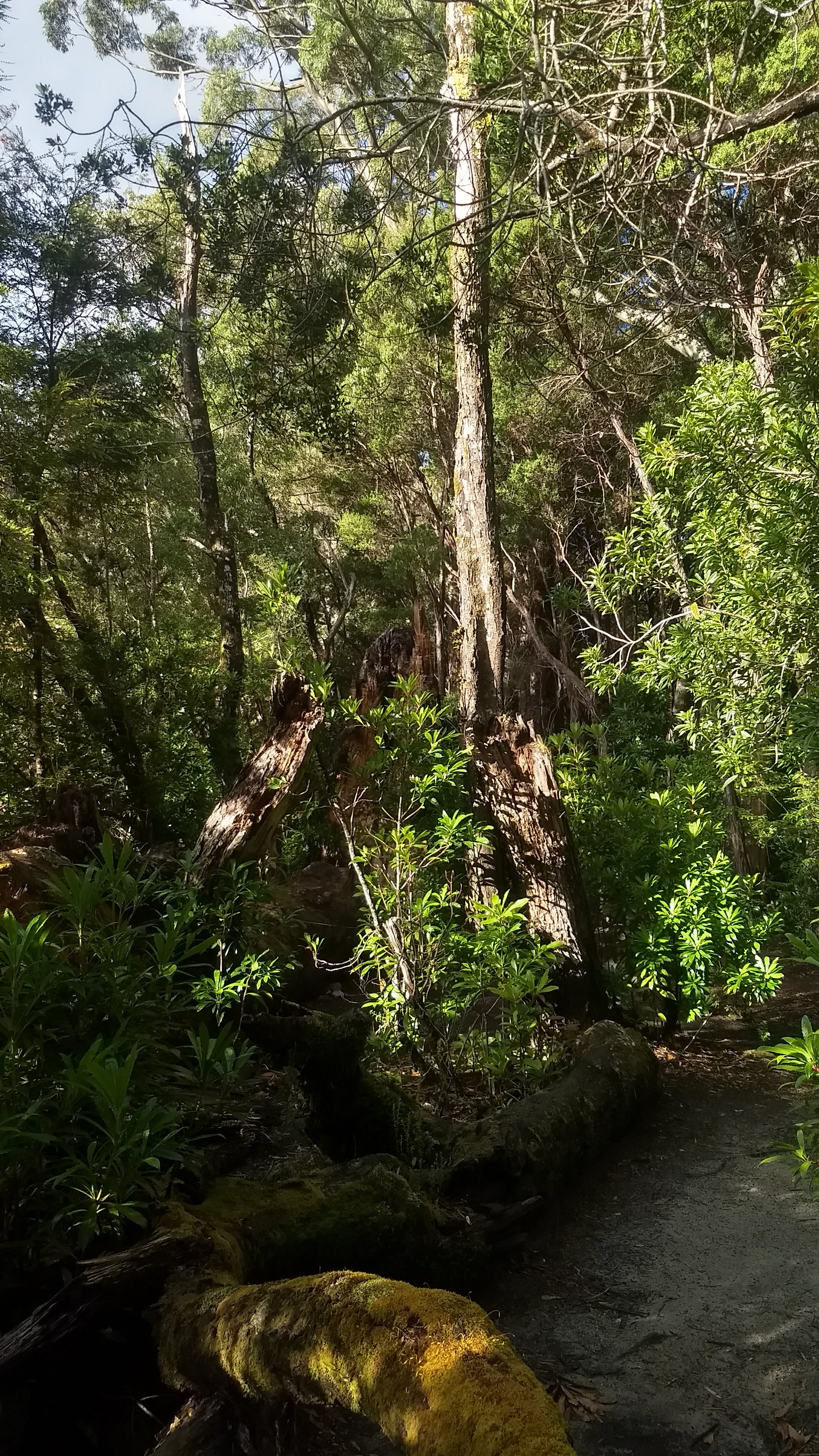
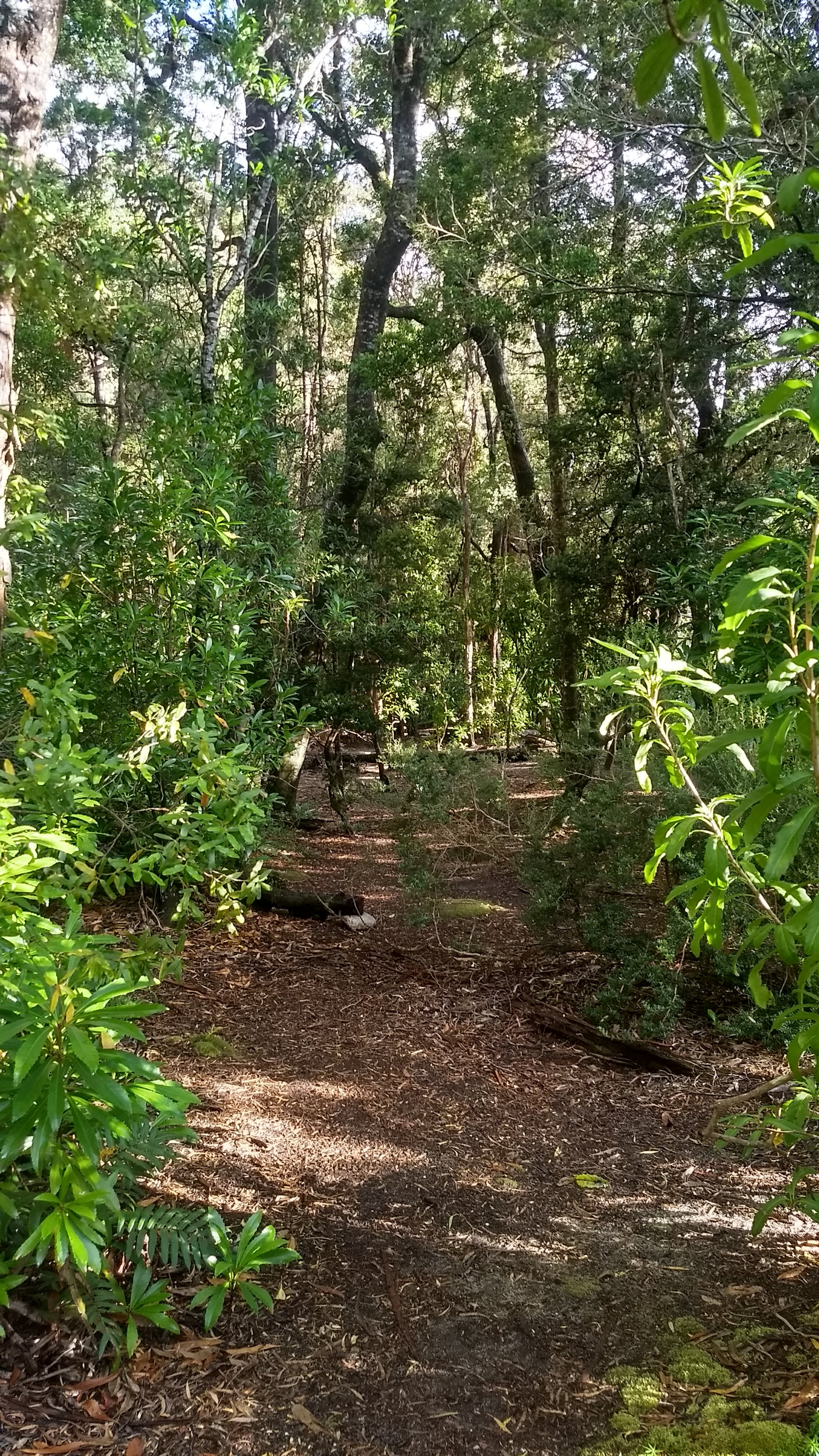
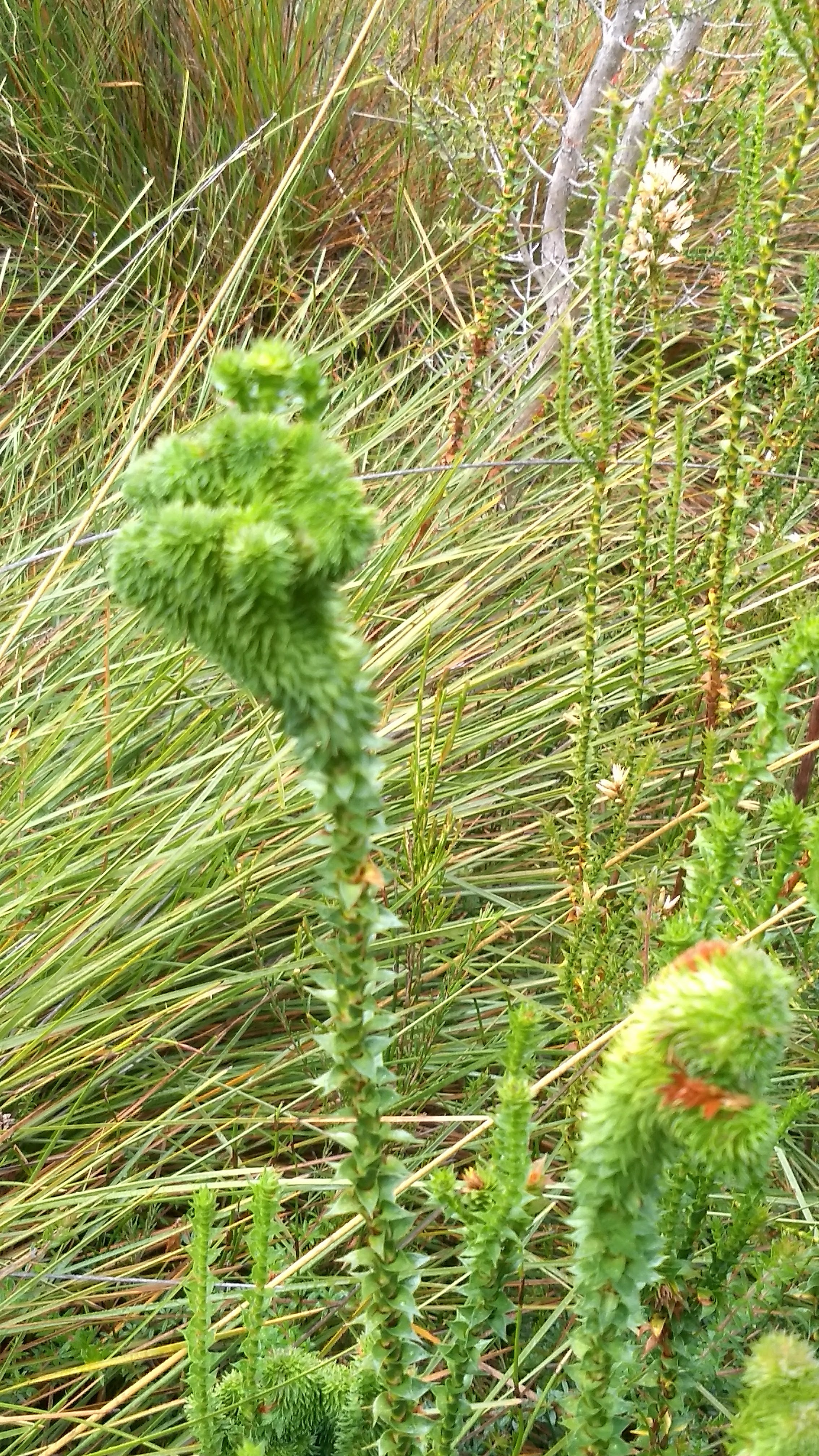
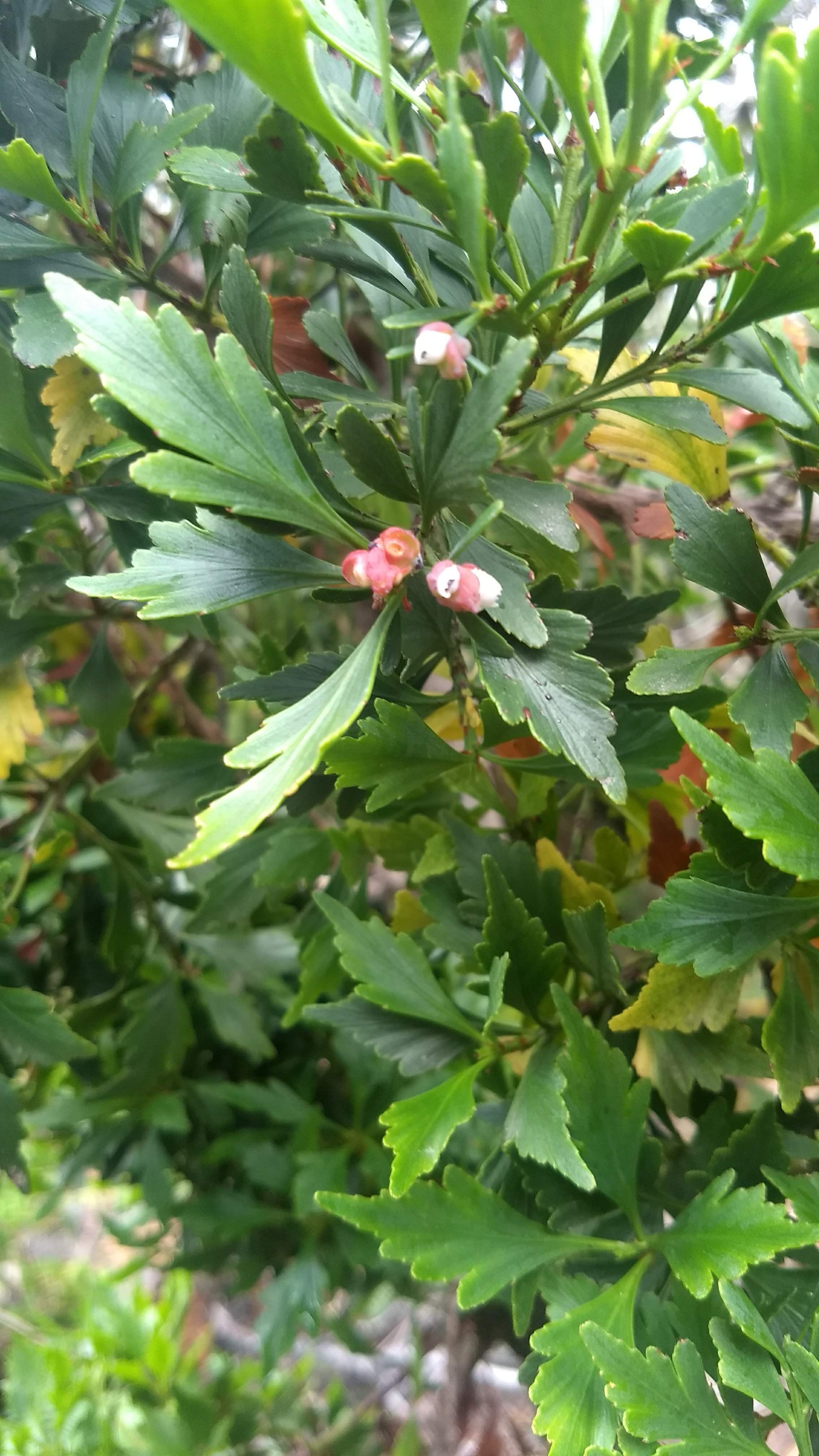
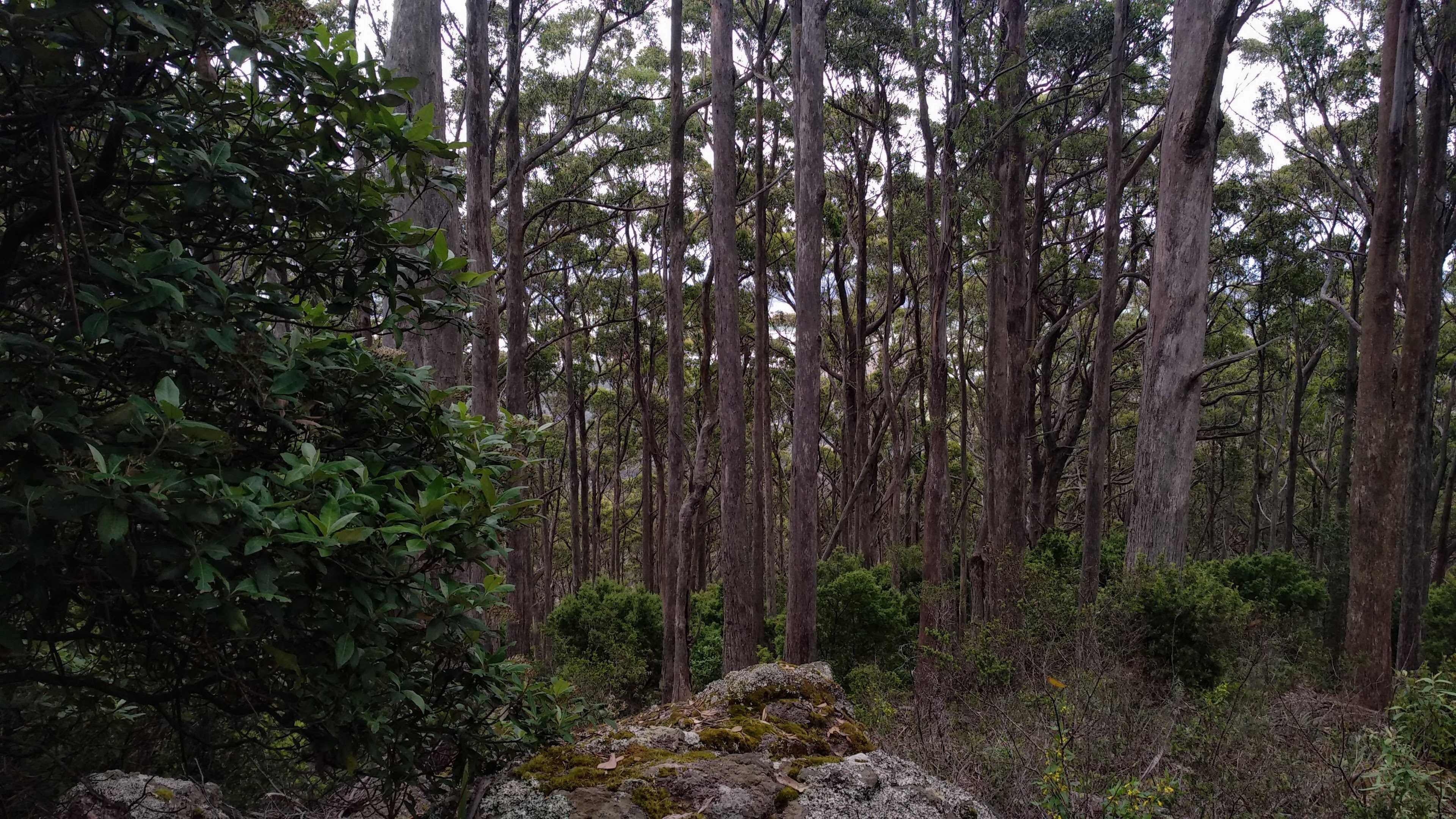
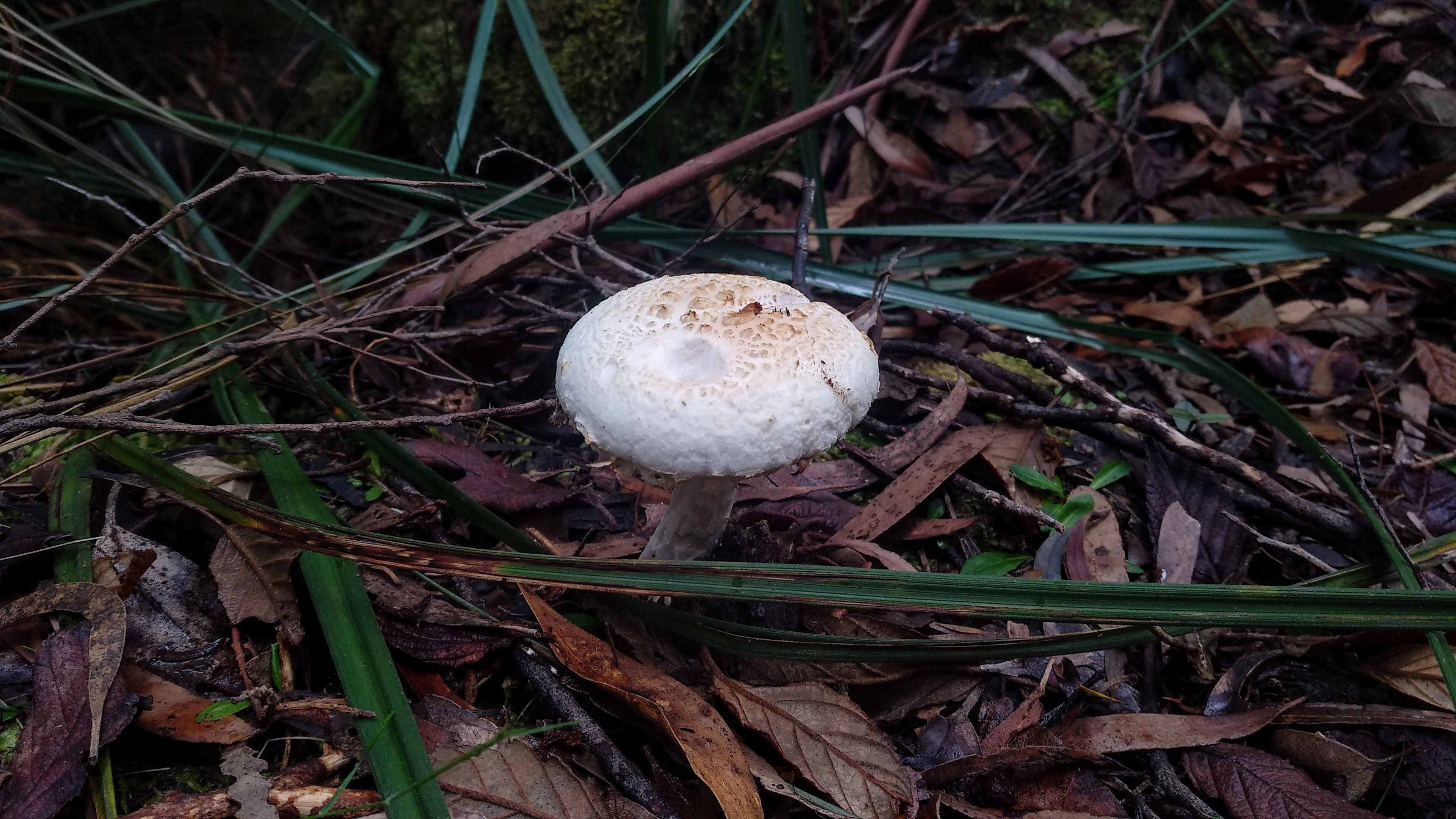
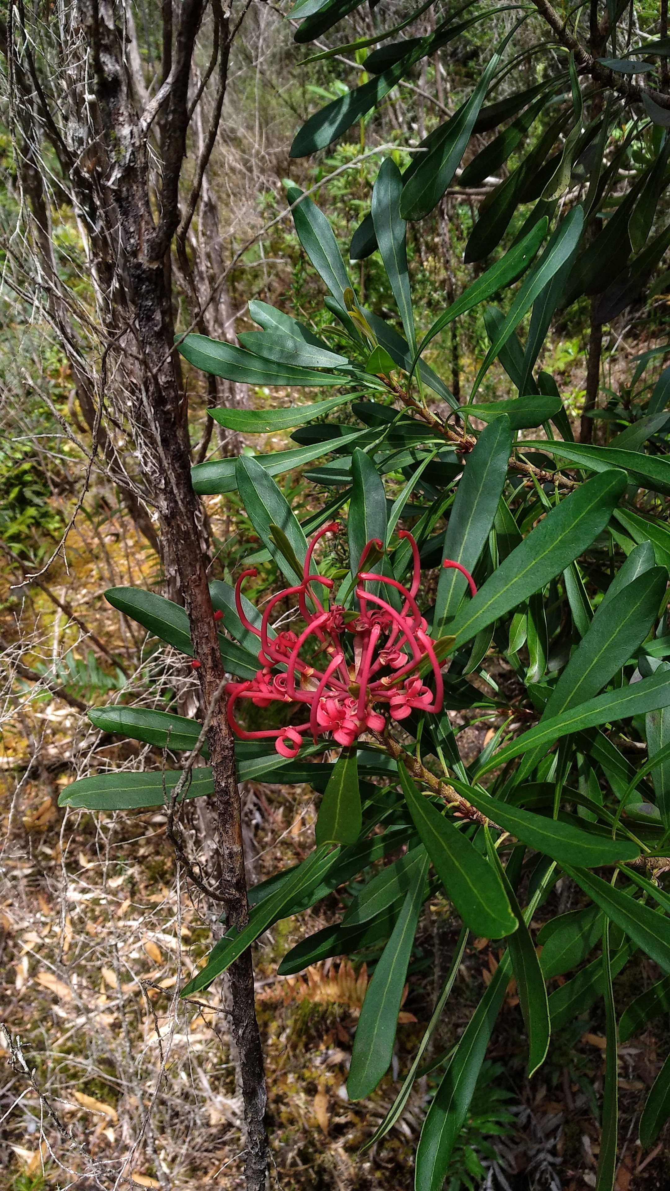
We continued onwards, slowly ascending until we reached the junction of our road, Maxwell’s Track, and an even older logging road that leads down to Loongana, close to the Leven Canyon carpark. Here we set up our camp and headed off into the logging coupe for many hours. The coupe is predominantly rainforest, with a section of eucalypts to the south. We found some surprisingly large eucalypts and myrtles that must have been spared when some of this area was originally logged 60+ years ago.
A huge eucalypt in the coupe
A huge myrtle in the coupe
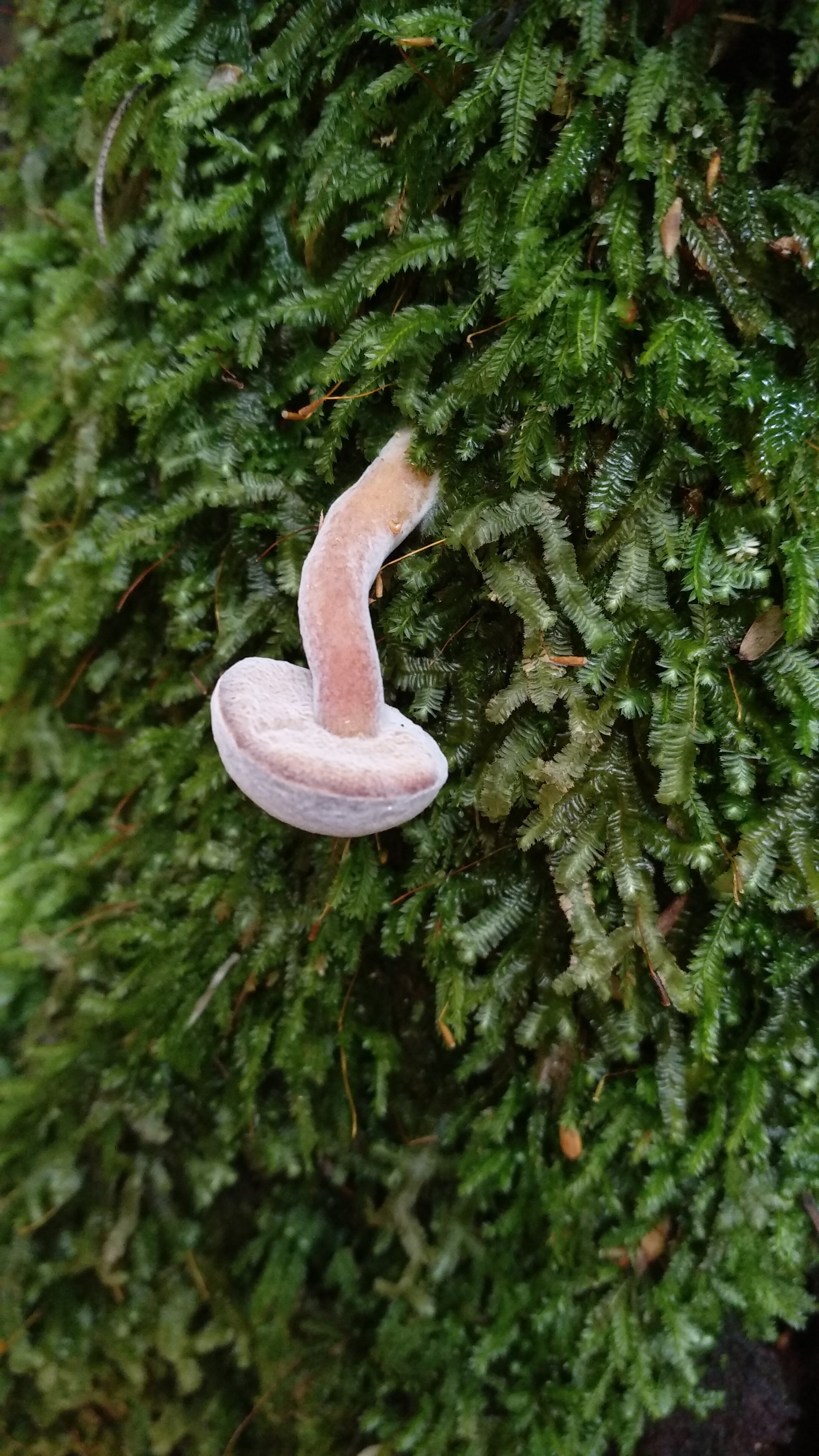
An upside down fungus
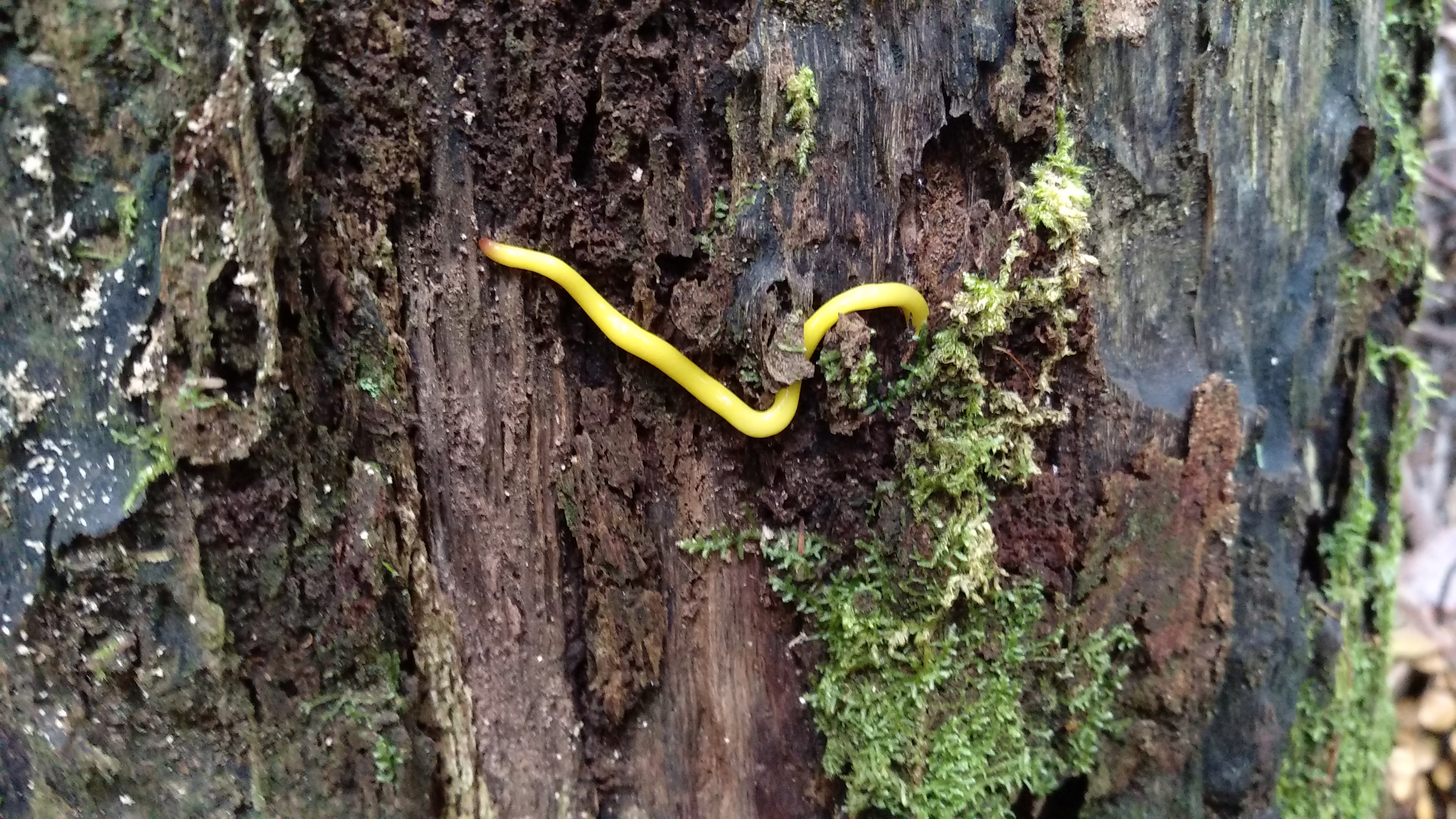
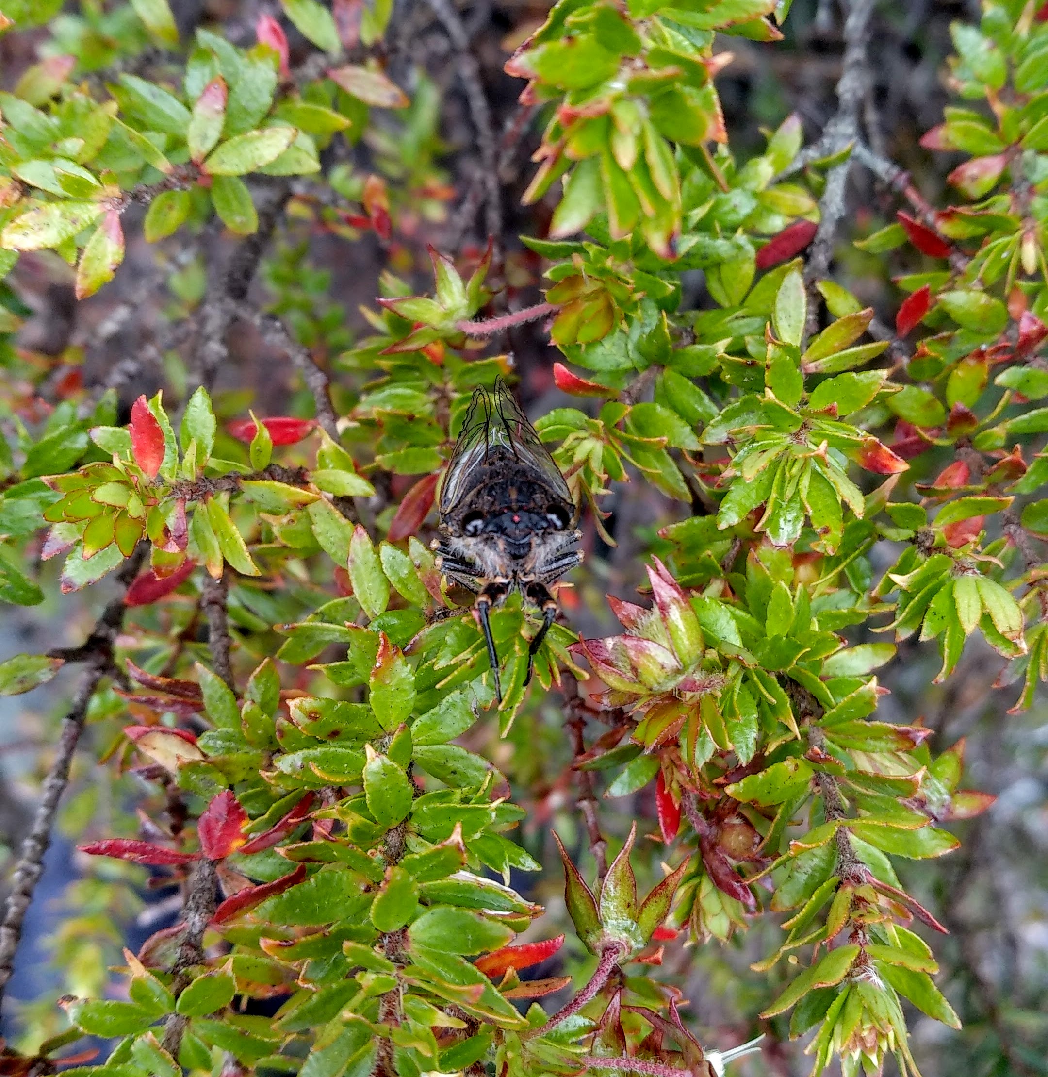
A canary worm (Fletchamia sugdeni)
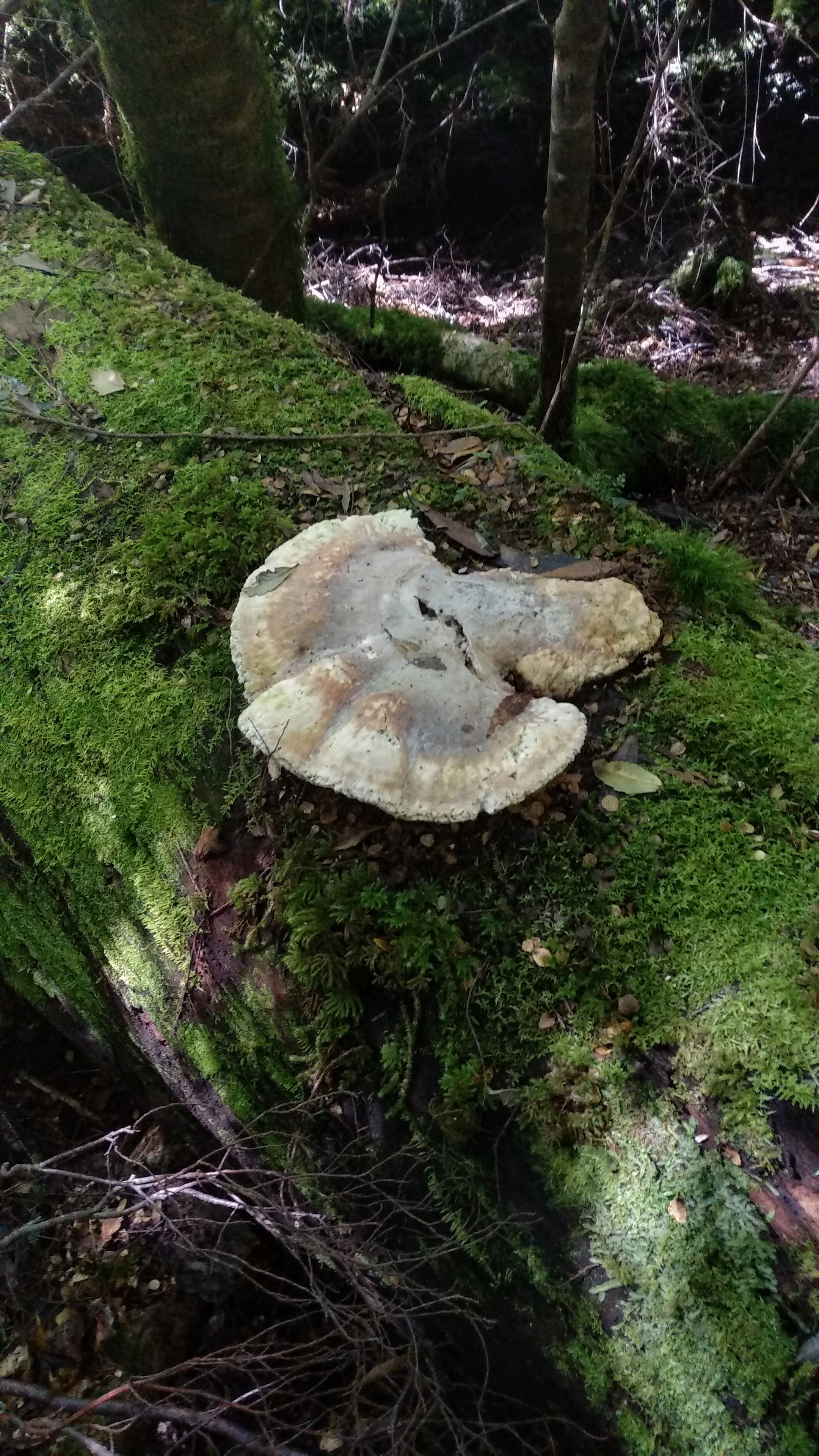
A bracket fungus not being a bracket on a fallen eucalypt
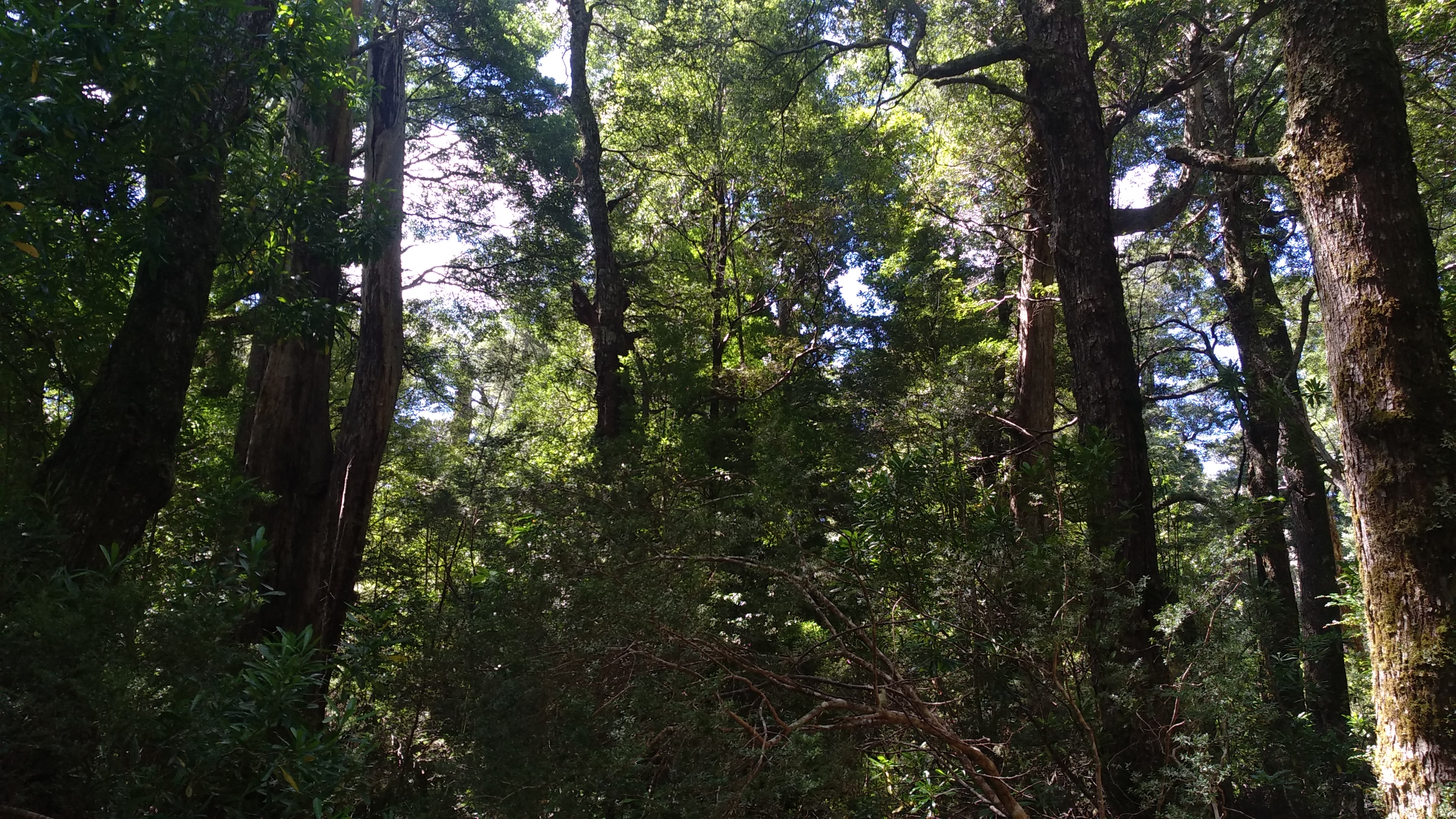
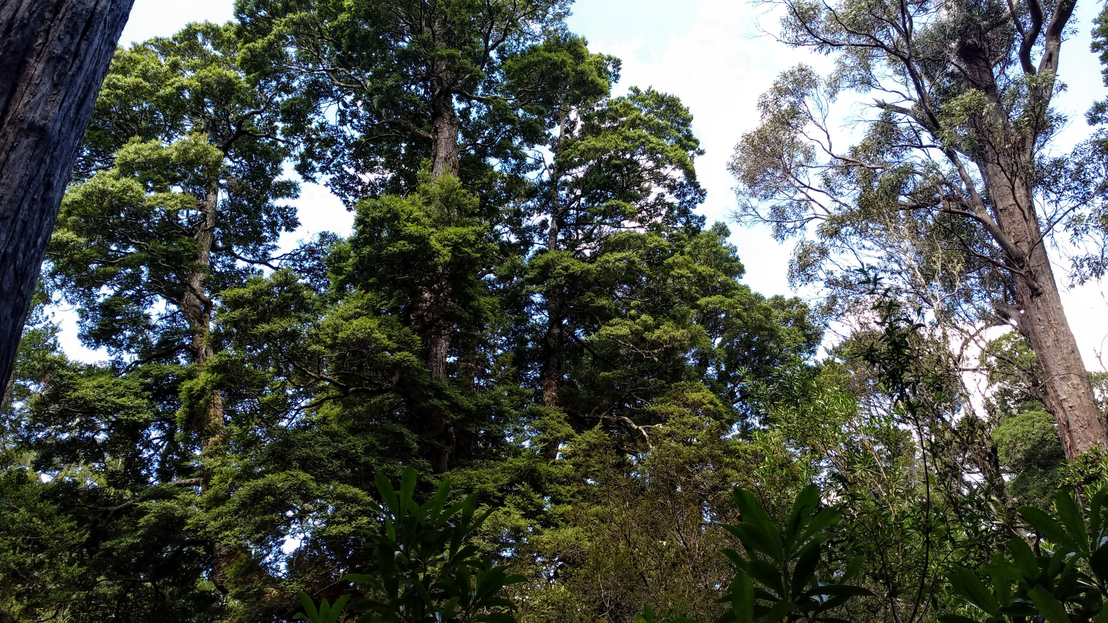
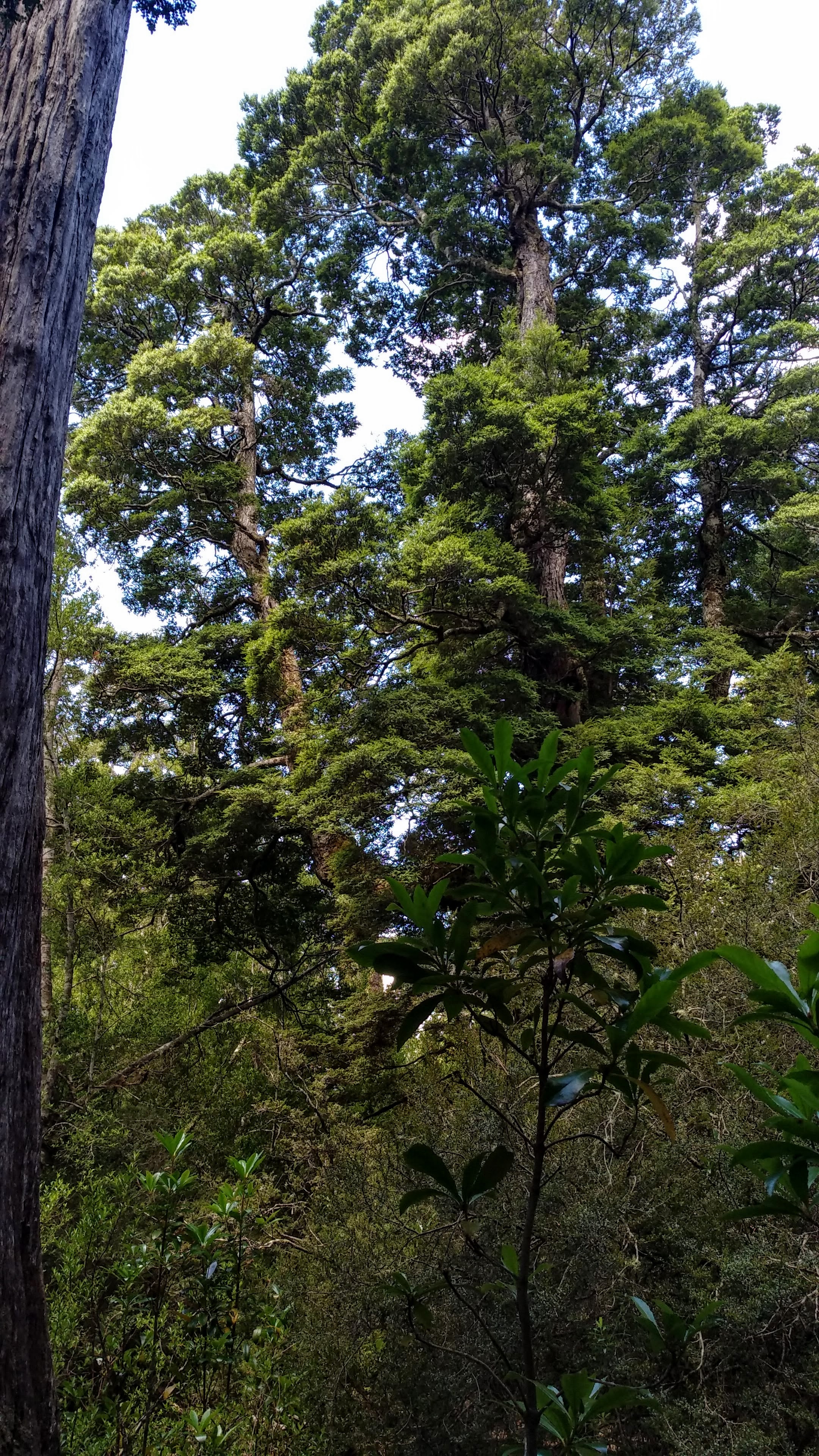
Looking up through the trees
Some trees in the coupe
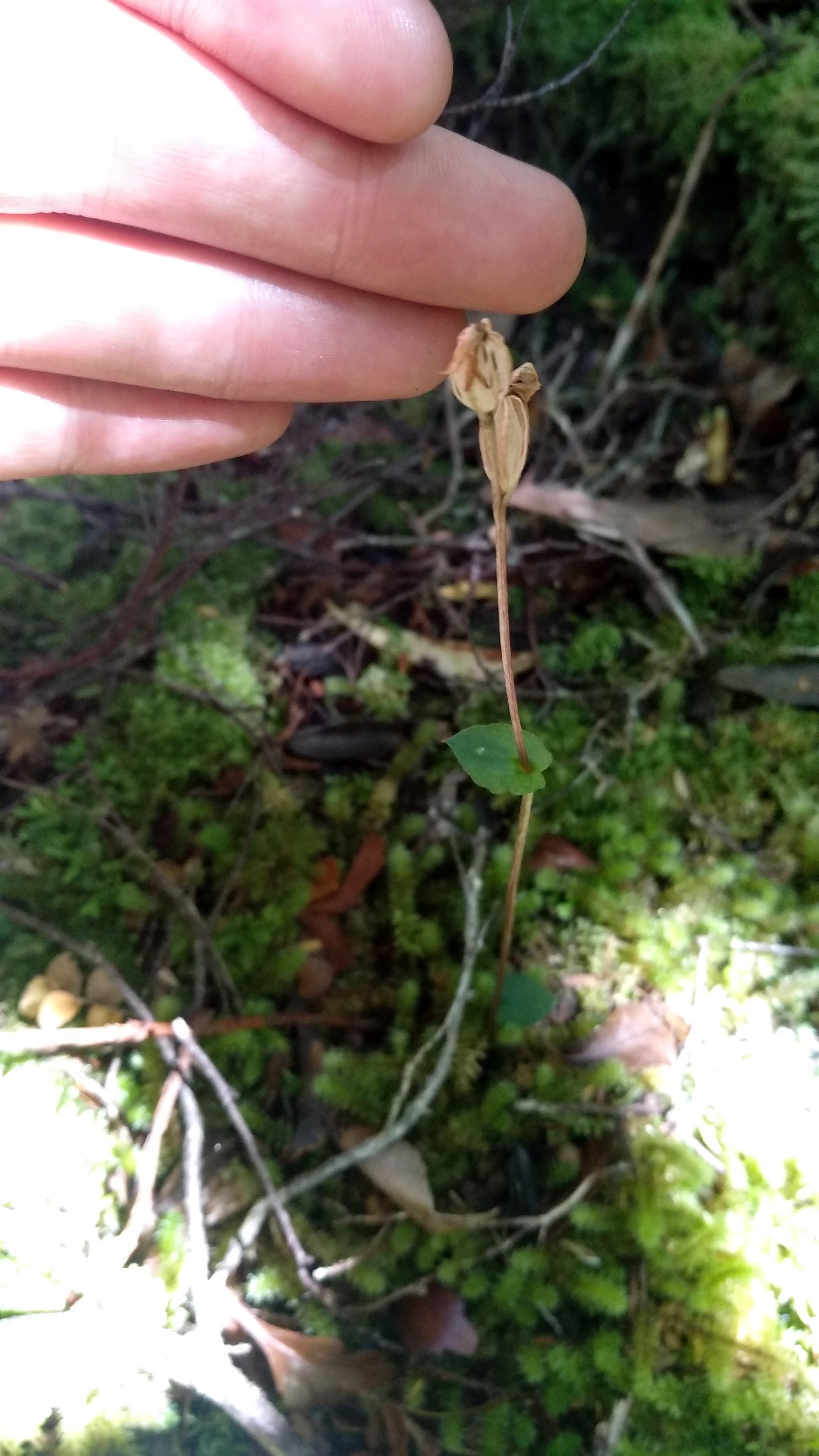
A beech orchid (Townsonia viridis)
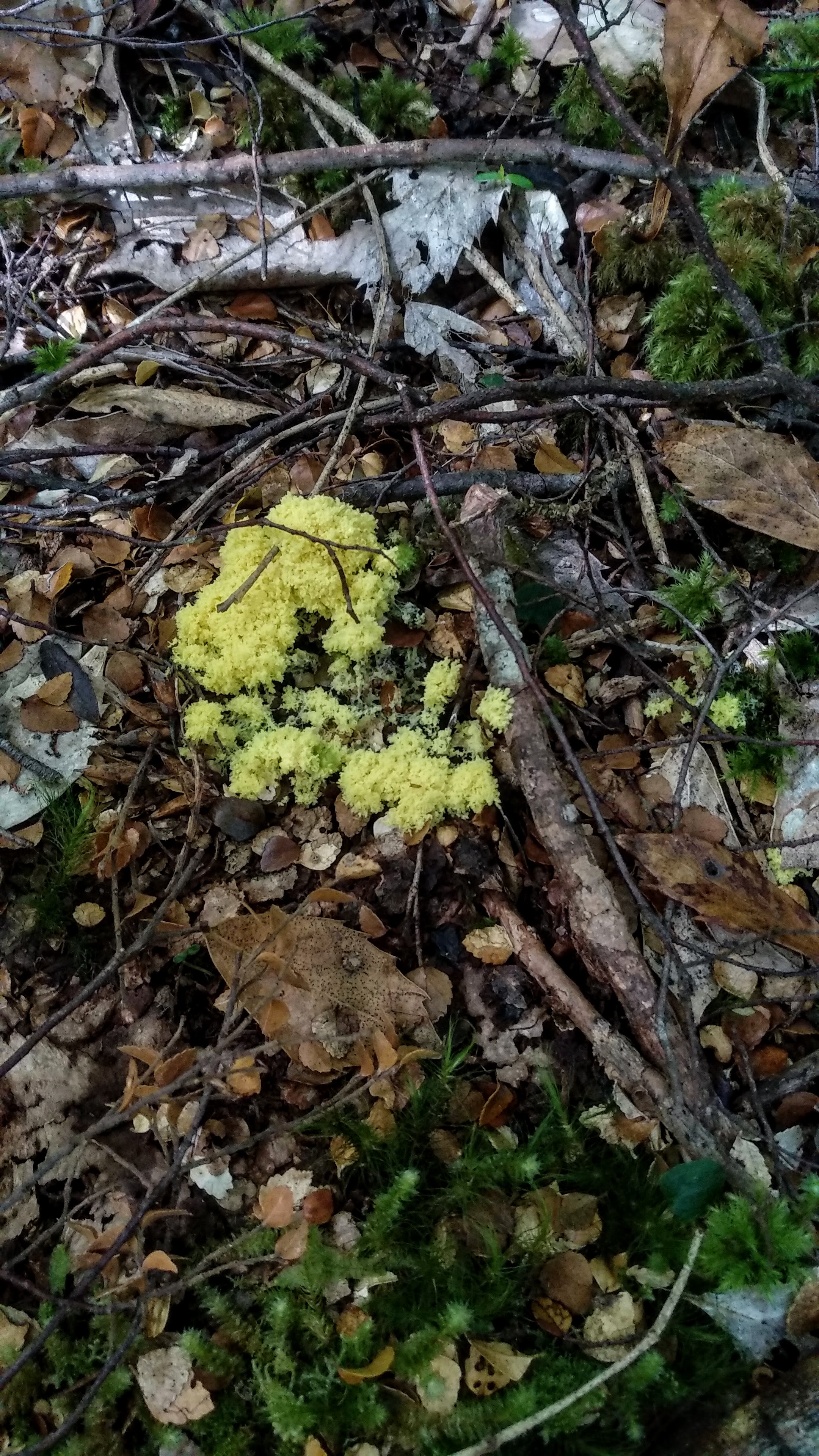
(I think) a dog vomit slime mould
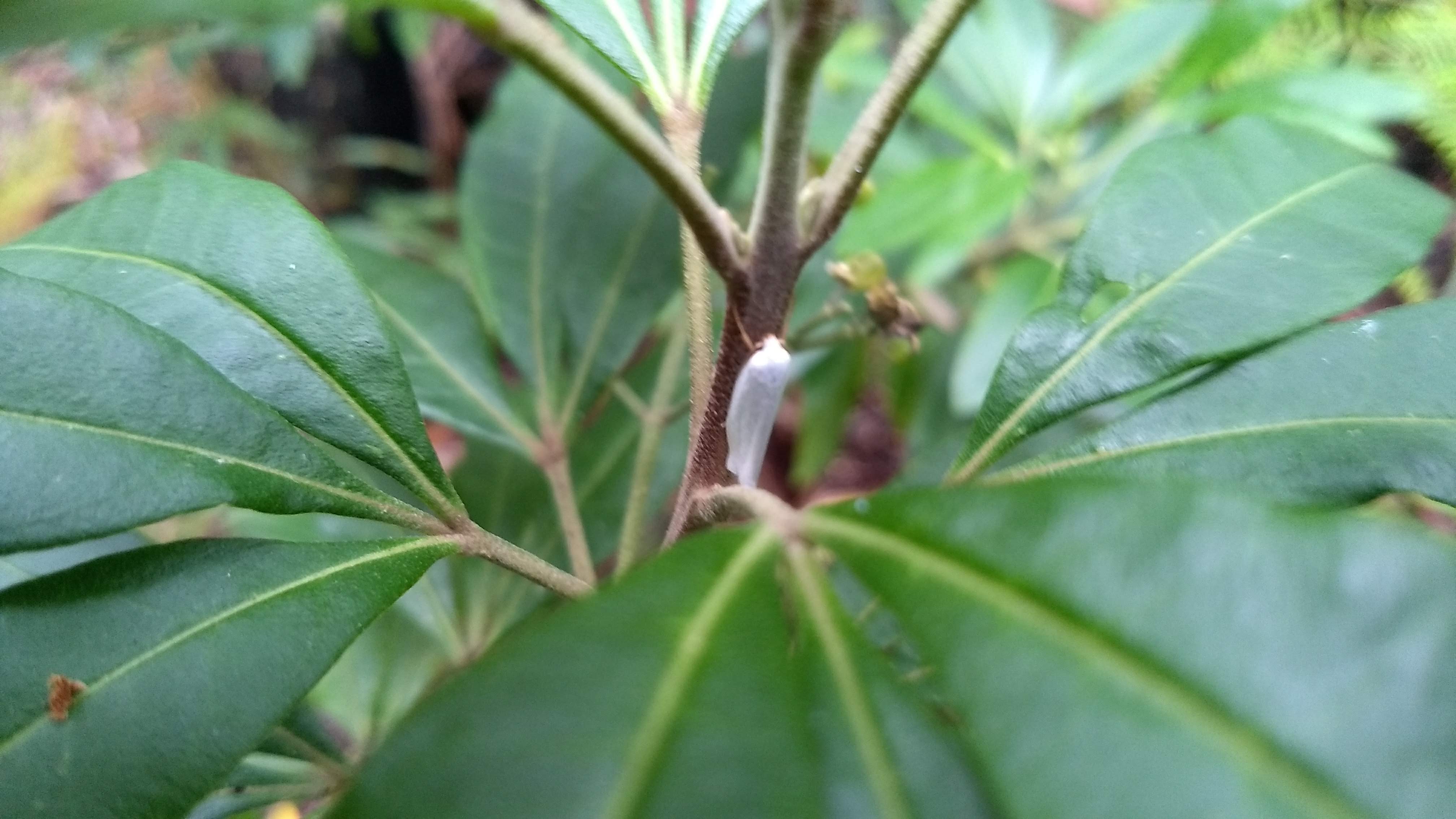
We stopped to have some dinner before heading back out until it got too dark. I spent some time wandering around looking at moths and other insects before we went into our tents and fell asleep listening to the calls of ringtail possums scrambling in the trees above us.
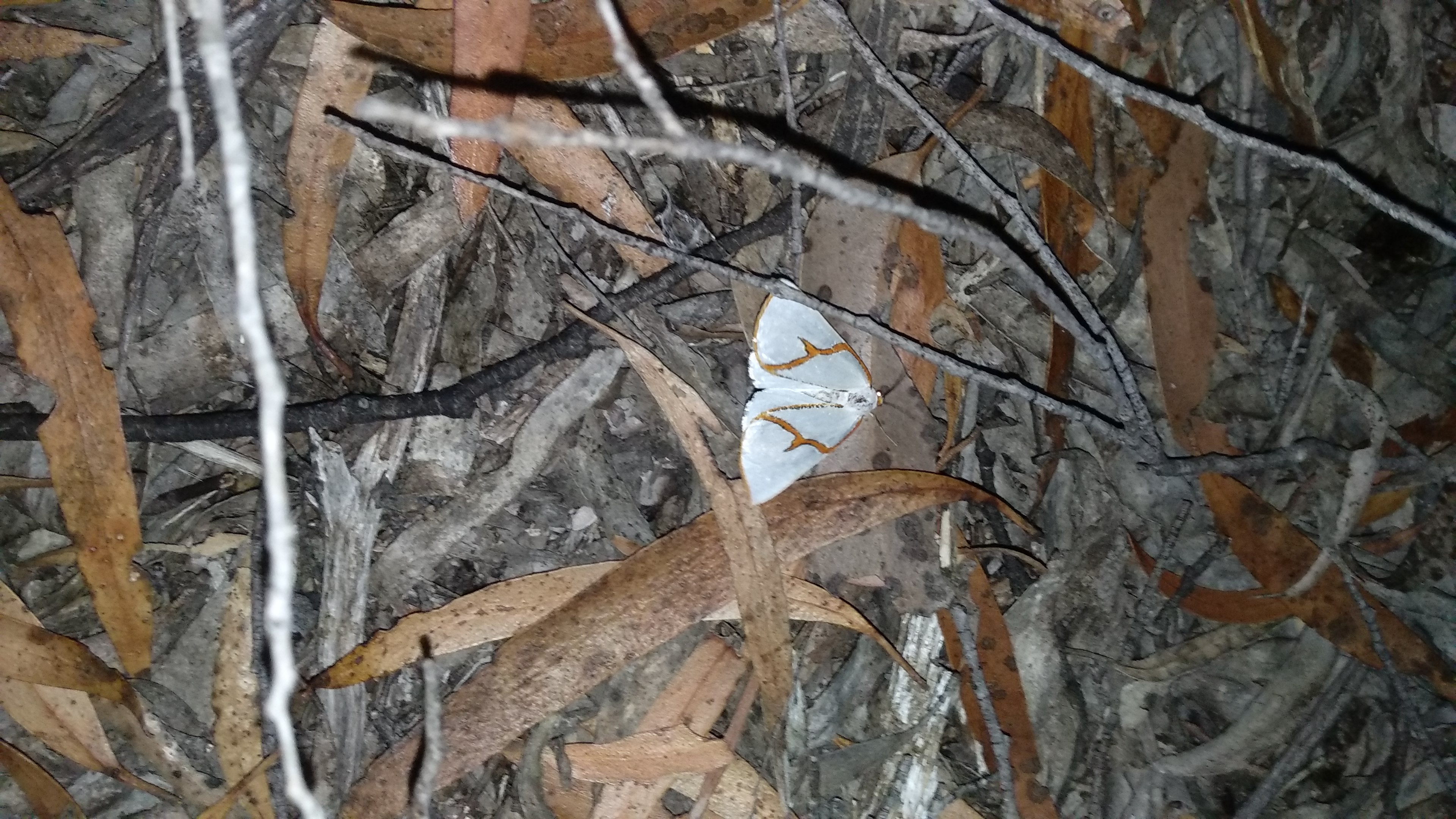
An orange-rimmed satin moth (Thalaina selenaea)
A Kinemania ambulans on my tent
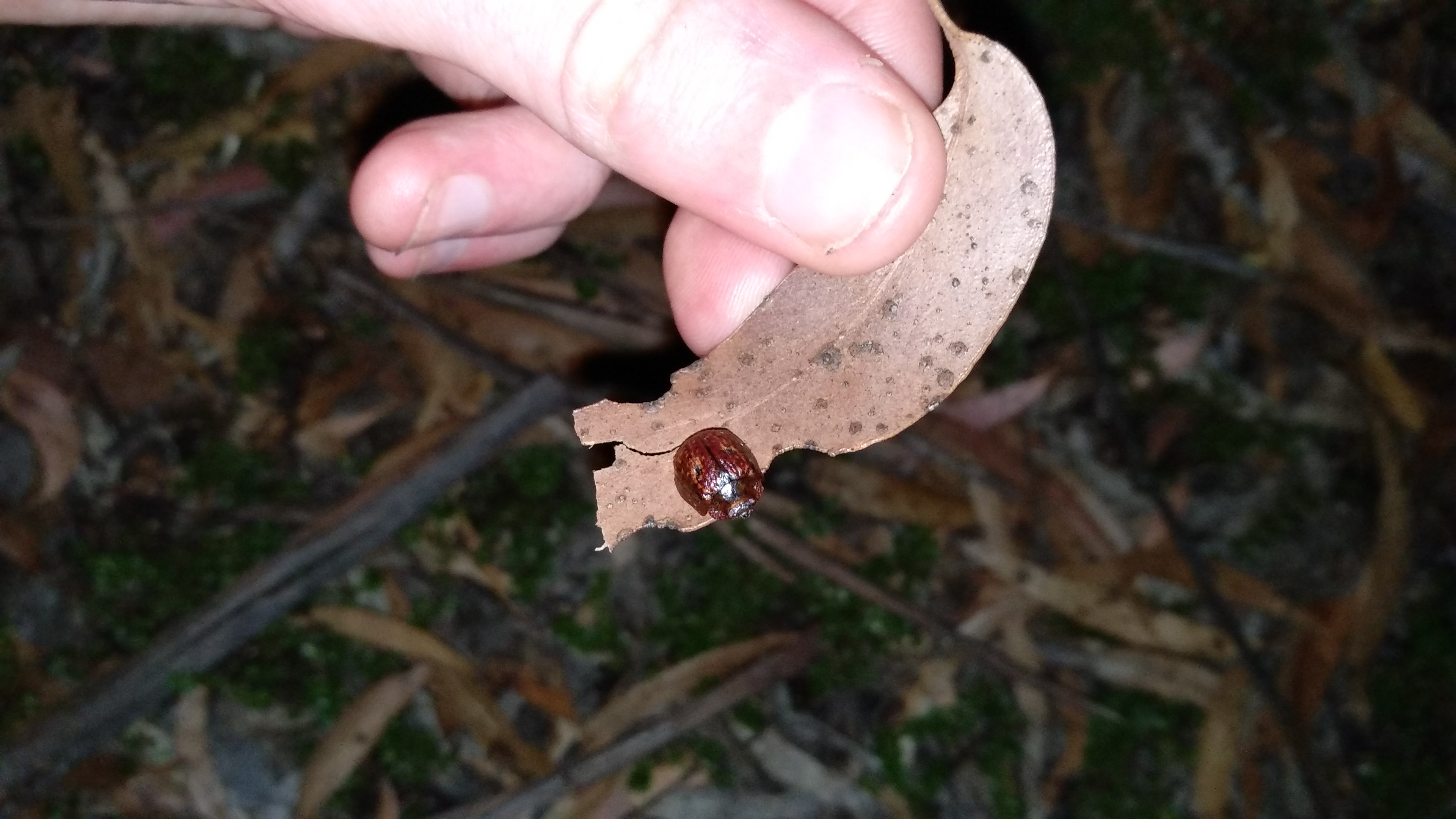
A eucalyptus leaf beetle (Trachymela rugosa)
The next morning we spent a few more hours out in the coupe before returning to have a bit of lunch and pack up camp. I said goodbye to the eucalyptus leaf beetle that had hung around my tent the whole time we had been here and we headed off along Maxwell’s Track for a lengthy, scenic return back to the cars. I don’t know any of the history of this track, or where the name Maxwell comes from, but I can only assume it was once used as access for selectively logging king billy pine in the past, as the Winterbrook Falls track follows an old tramway used for that purpose.
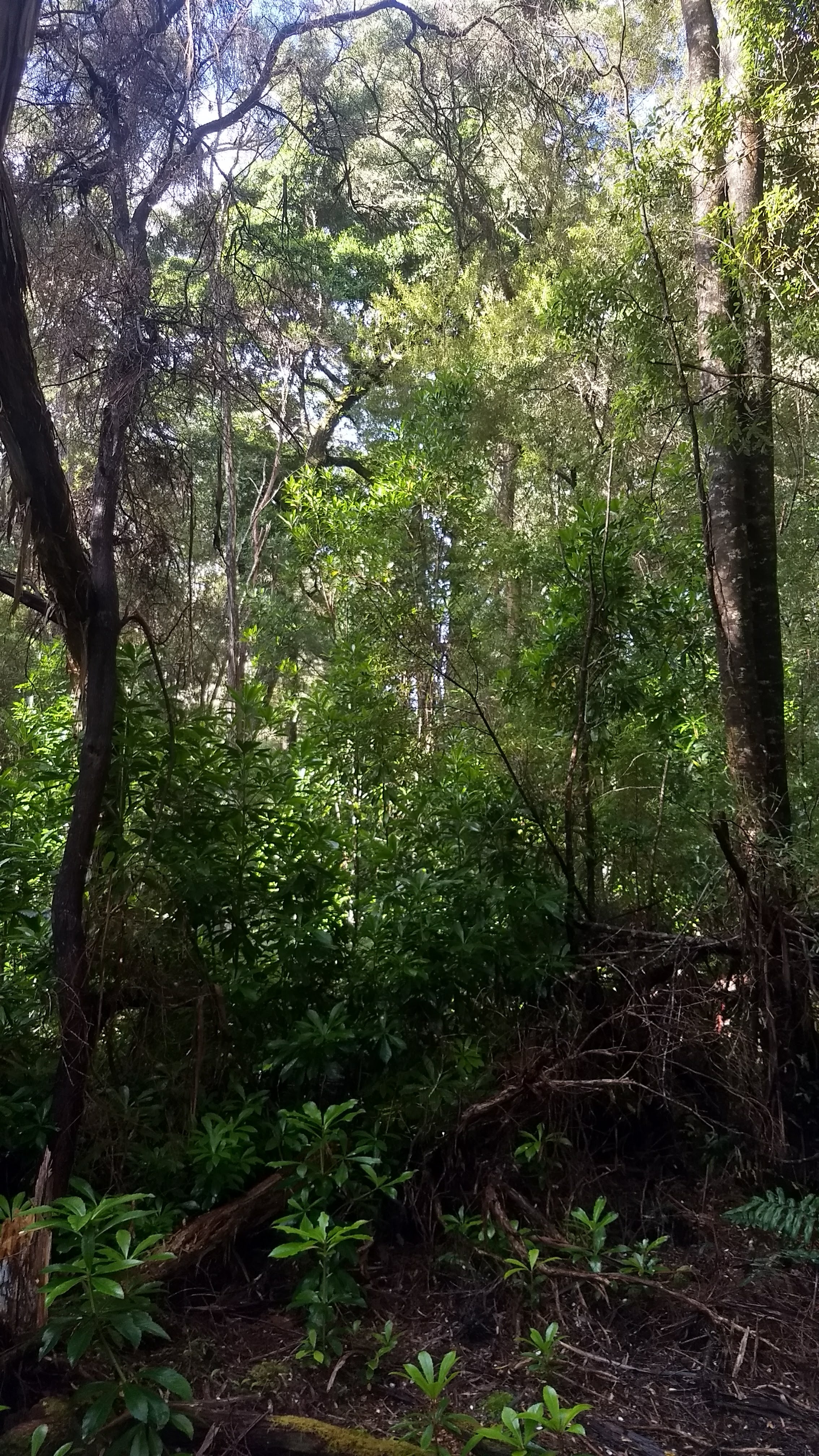
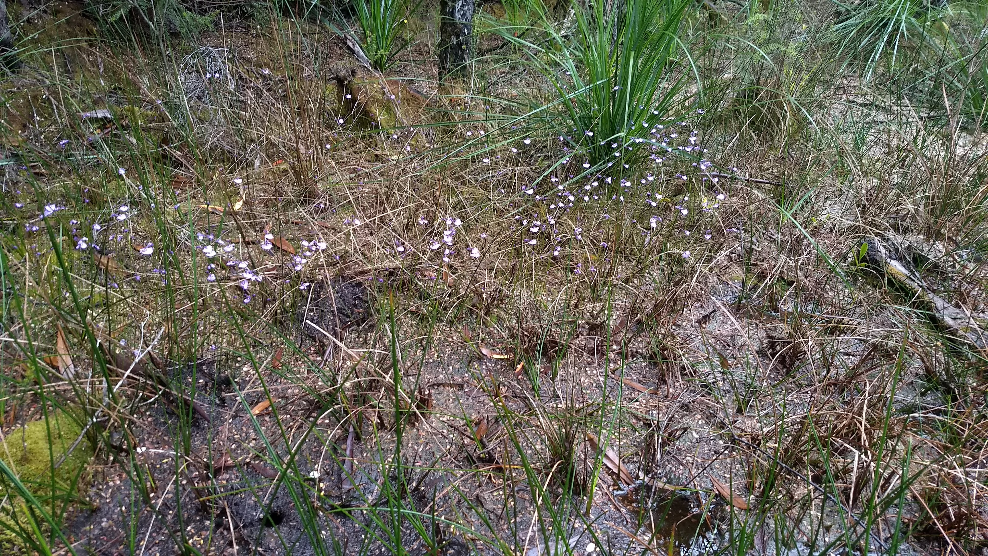
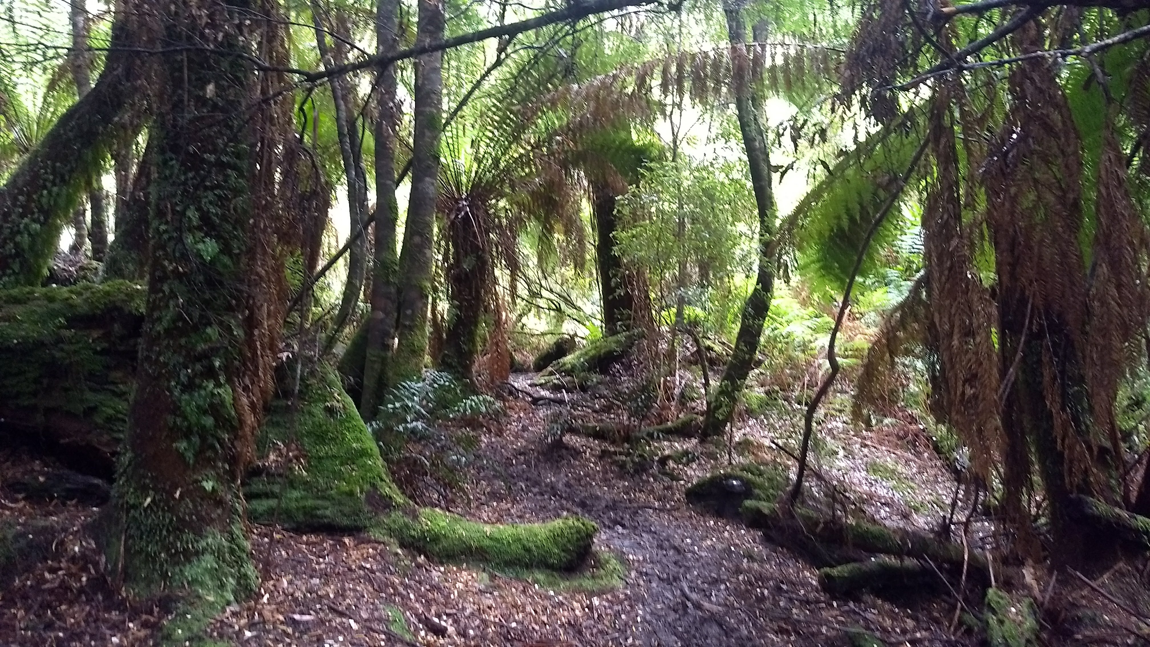
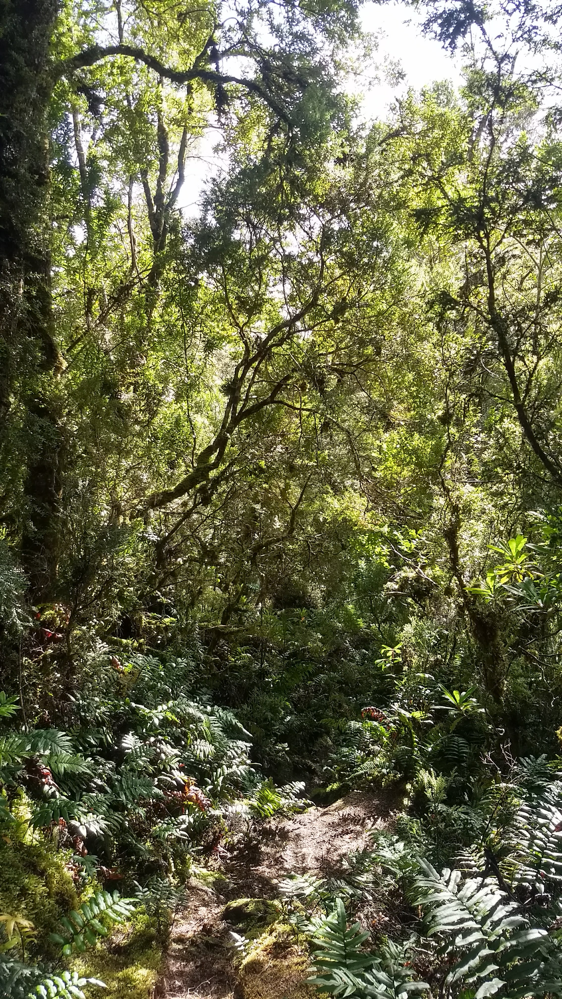
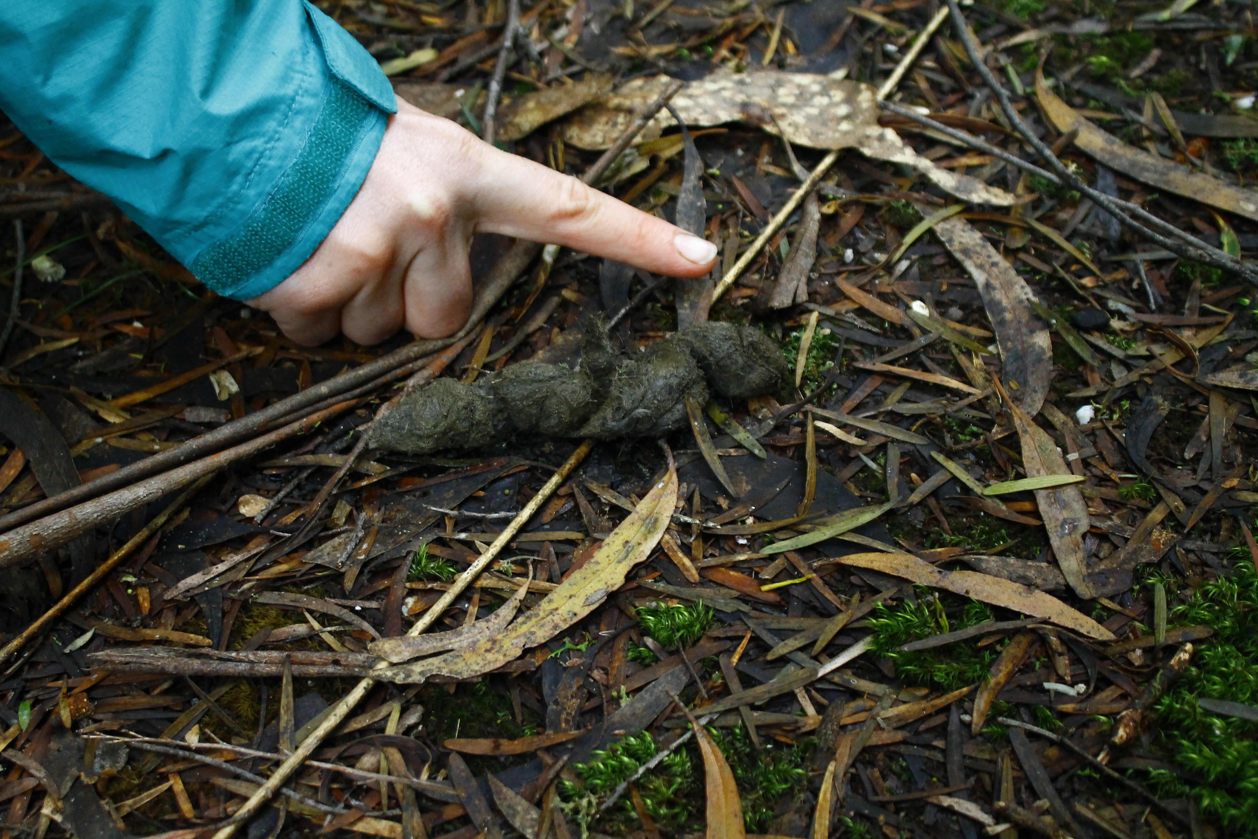
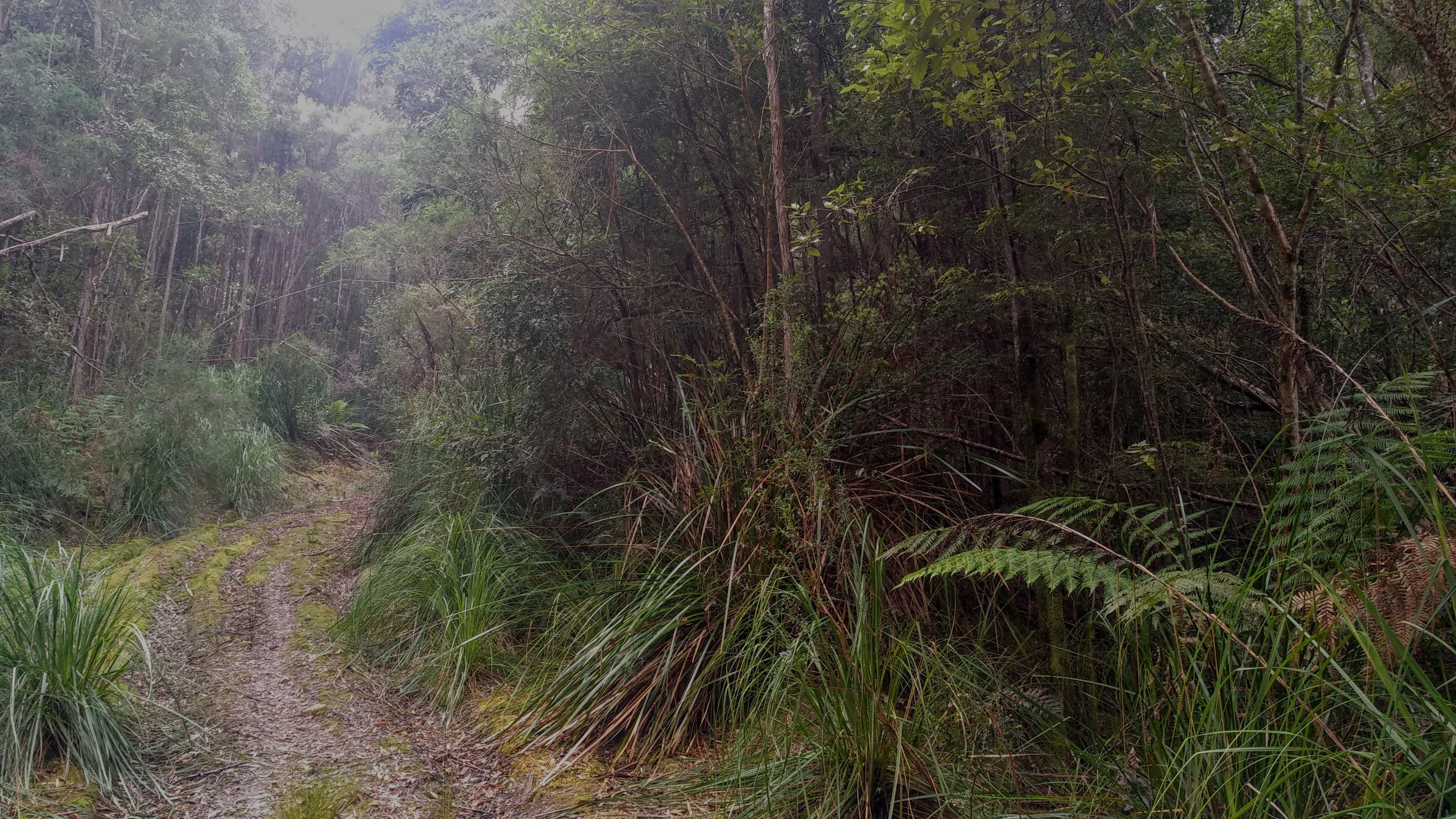
Maxwell’s Track follows an old road for a while, meandering slowly uphill through a lot of thick bauera scrub before one by one, giant myrtle trees appear. As the track entered the regional reserve, it thinned out into a real bush track, and the understory opened up, with the cover of the looming myrtles blocking out the sun. This section was an absolute joy to walk through, and we took a lot of time to admire the trees and look at fungi, devil poo, birds, native snails, and moss.
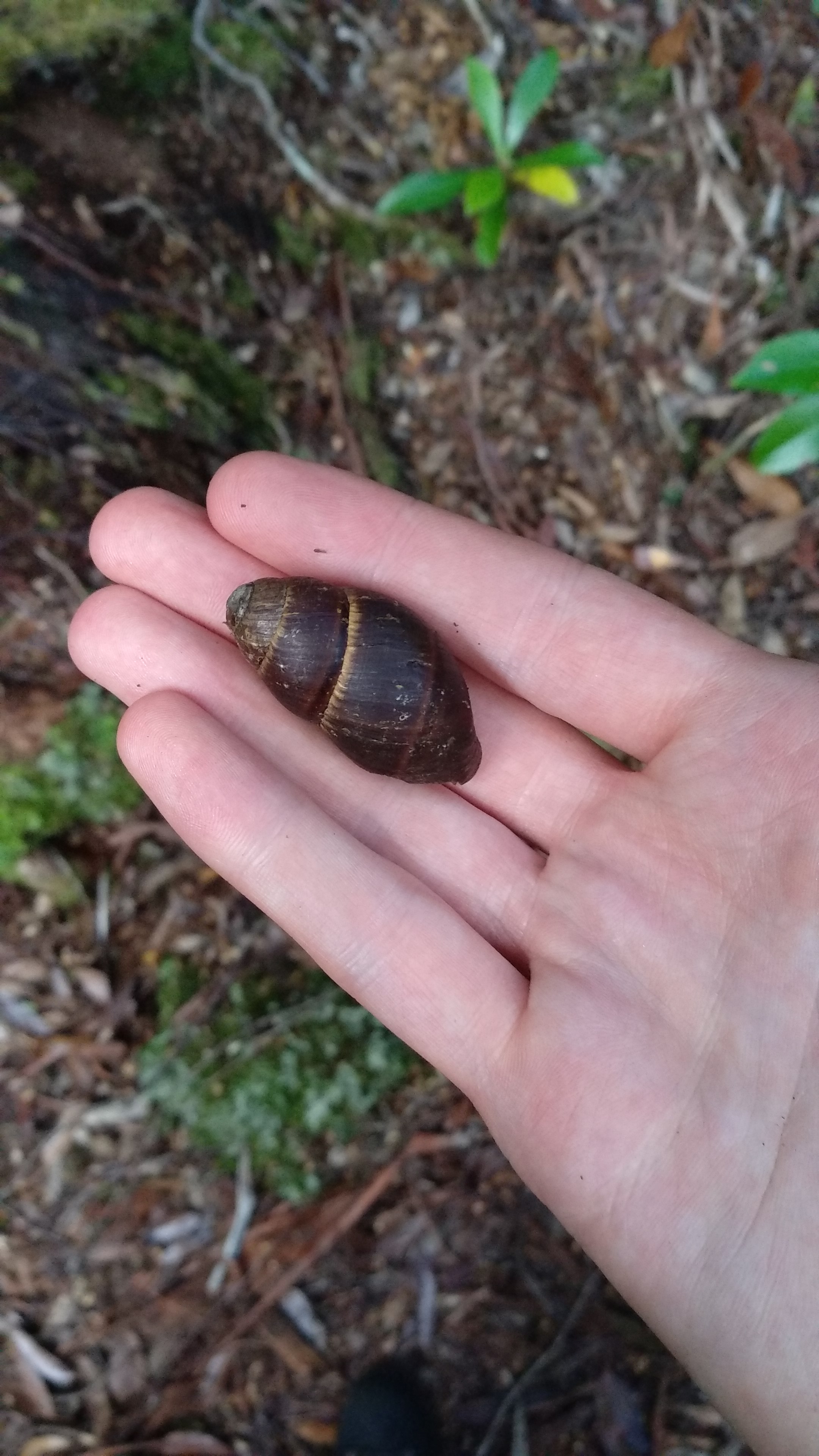
A native snail (Caryodes dufresnii)
Big strong myrtle
A huge bracket fungus on a fallen tree
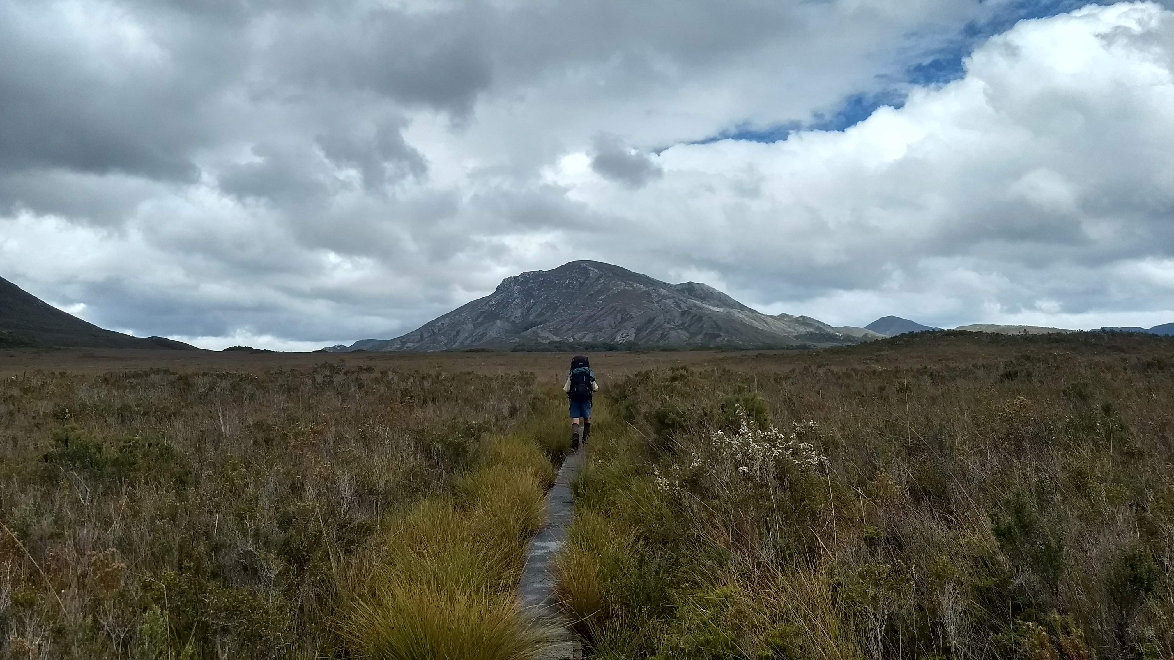
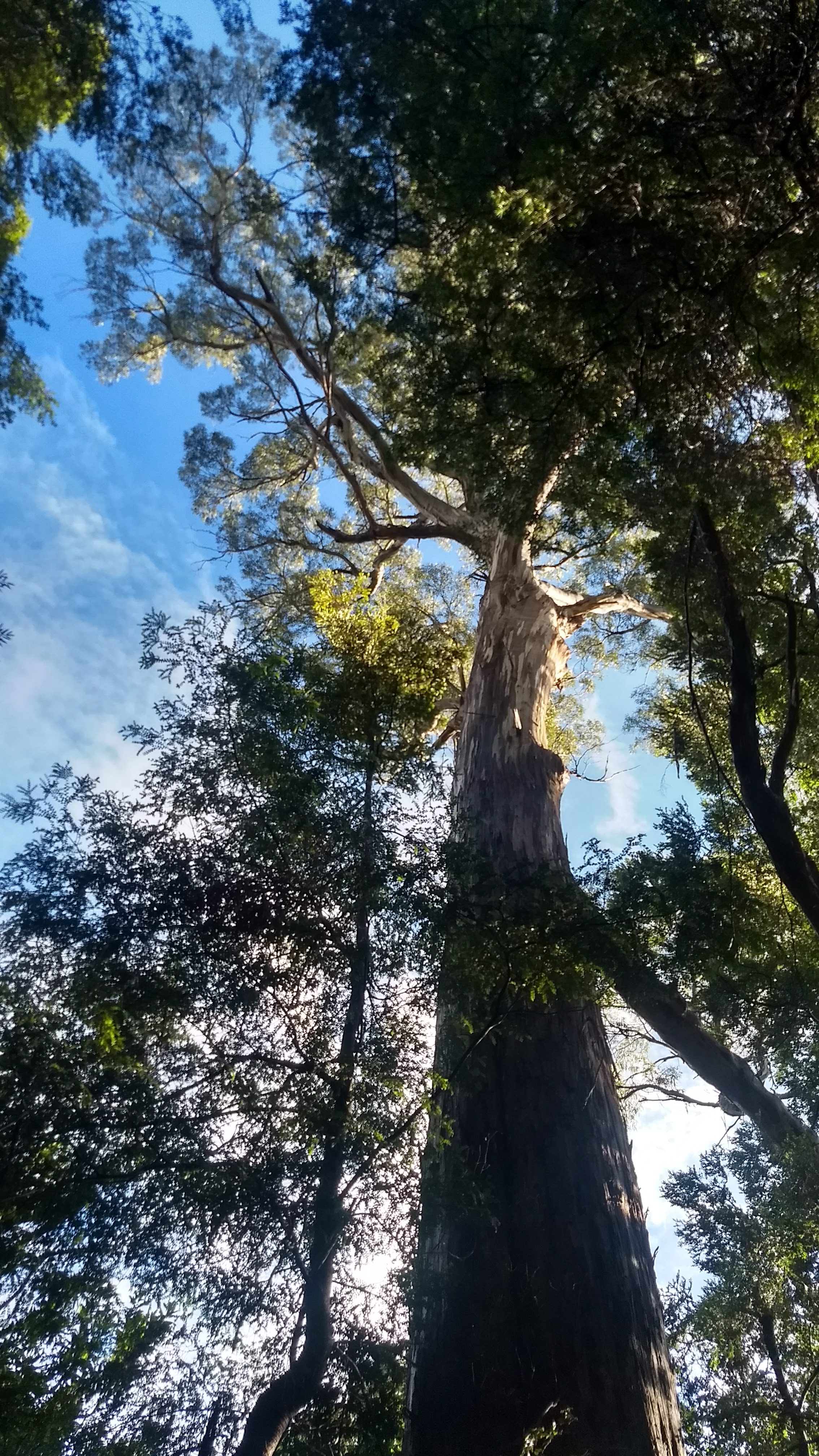
As the track kept ascending, we noticed some long spiky things on the ground. We soon realised that they had fallen from king billy pines, and we looked up to see some king billys extending their arms out over us. As they prefer higher elevation, we naturally encountered more and more of these spectacular, and strange, trees as we kept rising. We also spotted some huge yellow gums off in the distance.
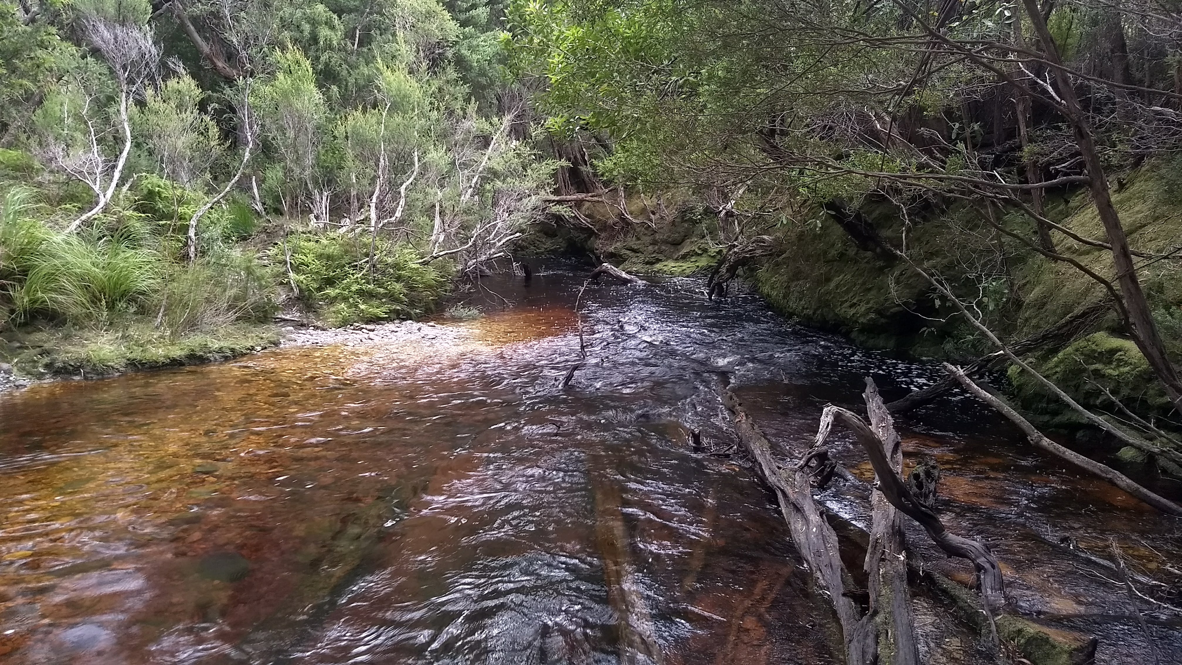
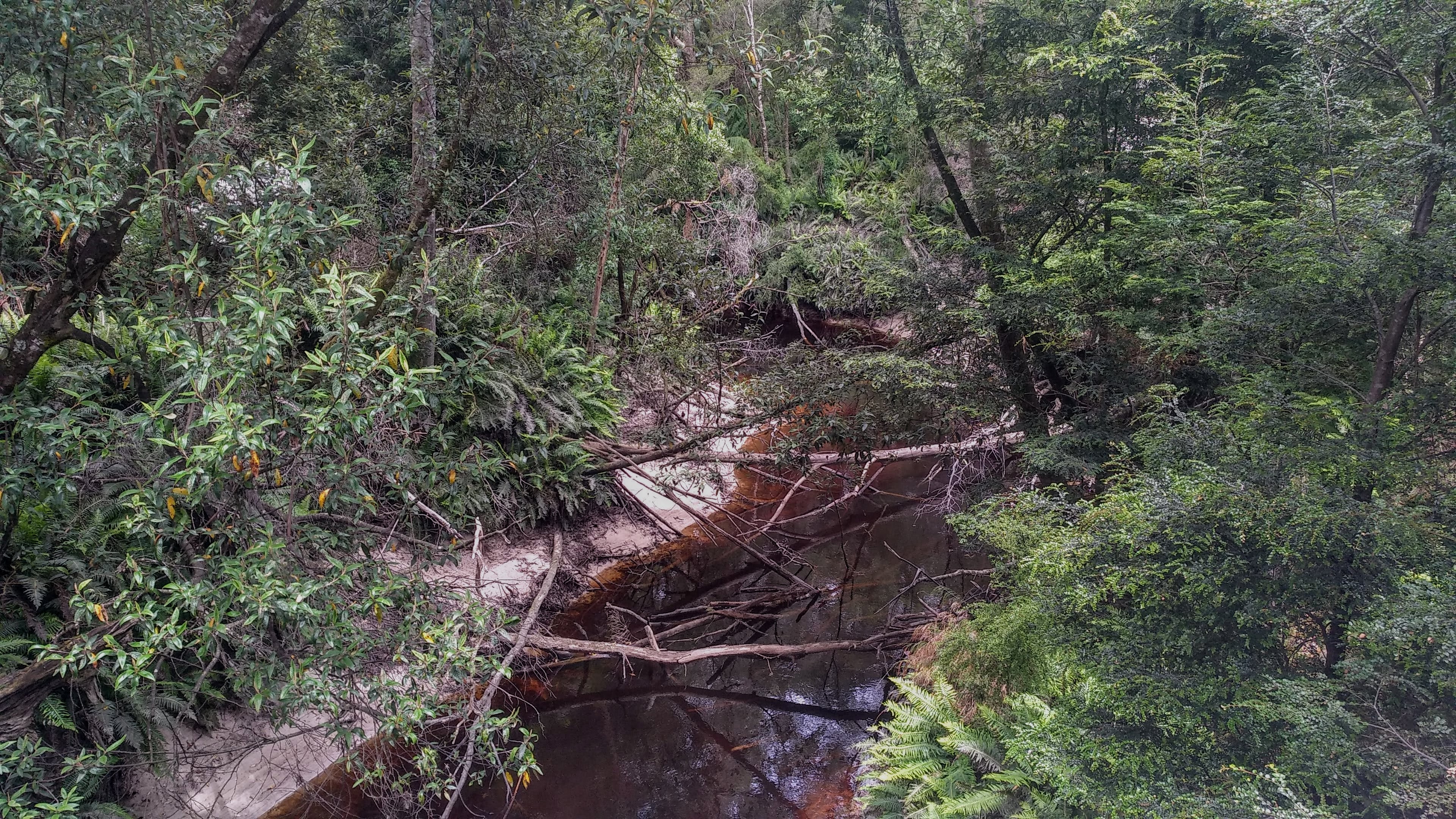
The Maxwell’s Track crossing of Winter Brook
King billy pine (Athrotaxis selaginoides)
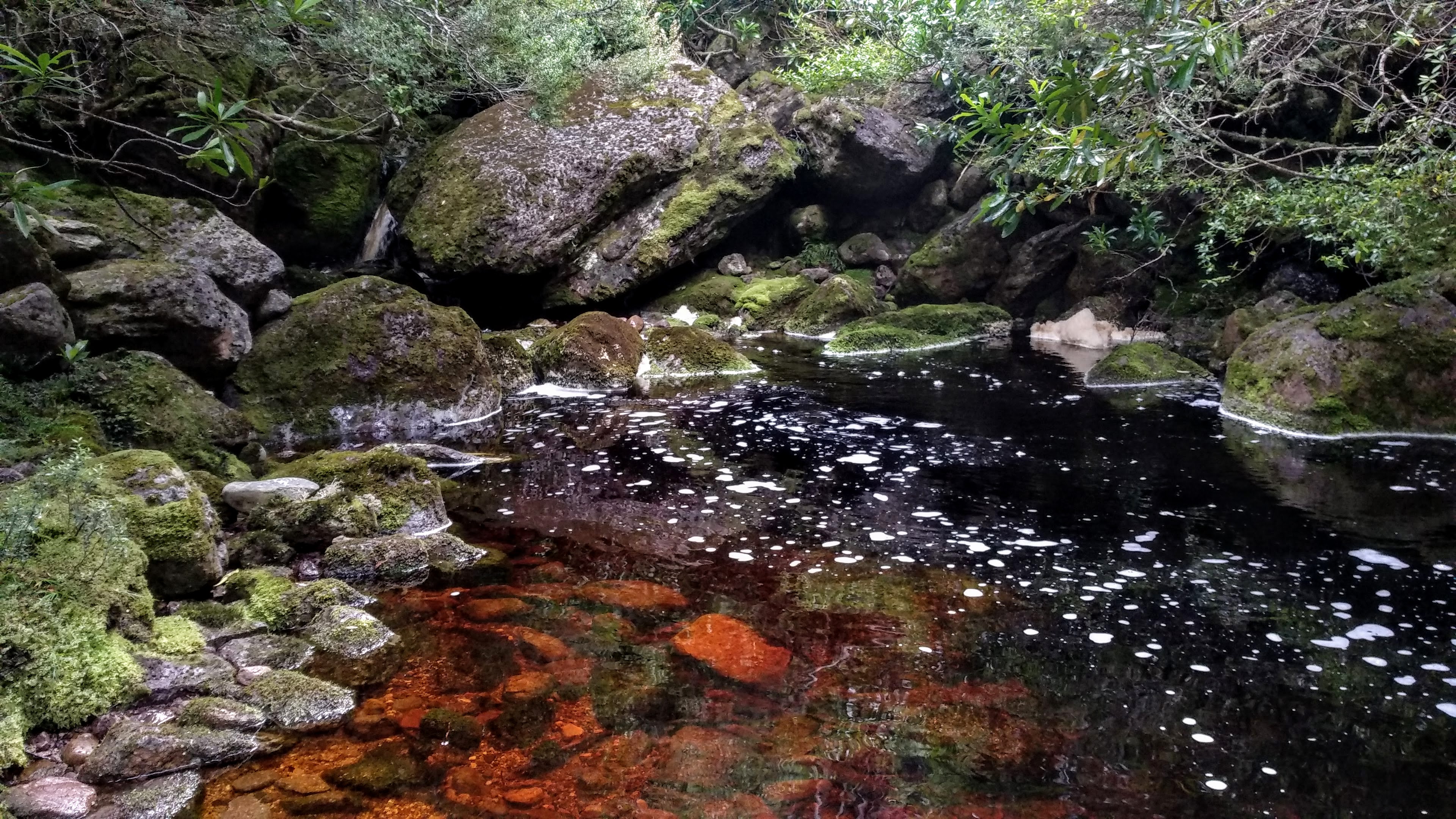
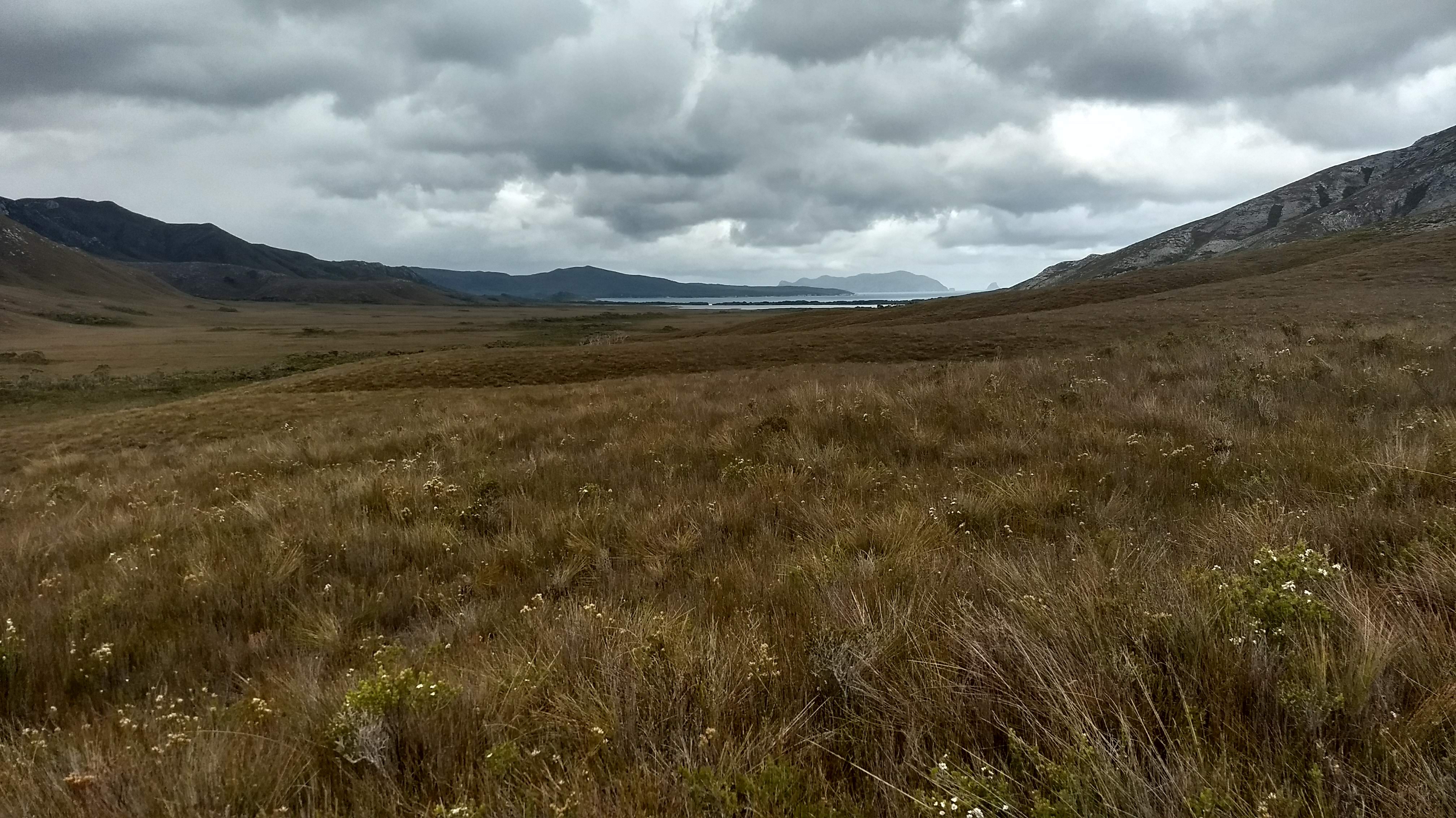
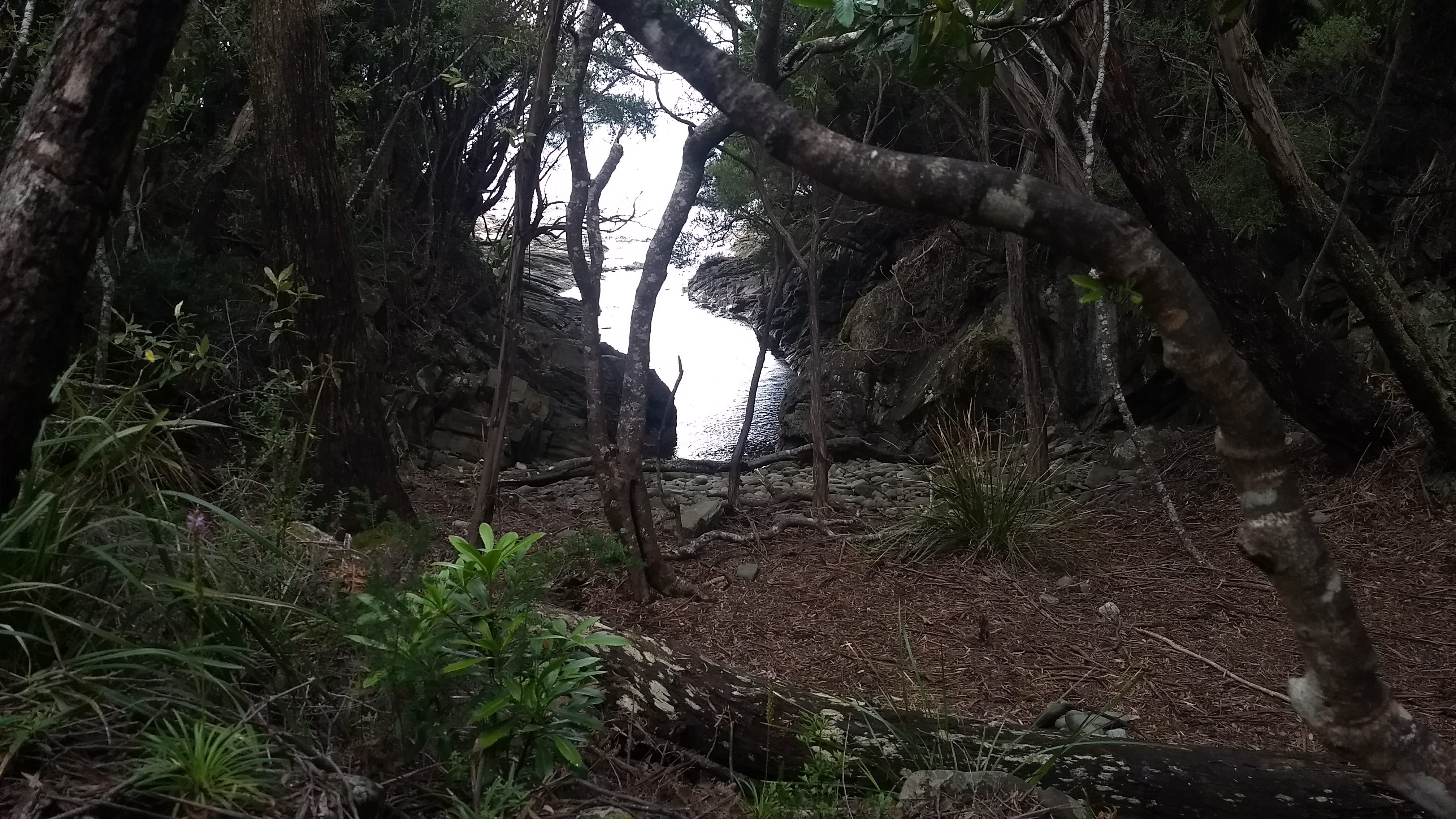
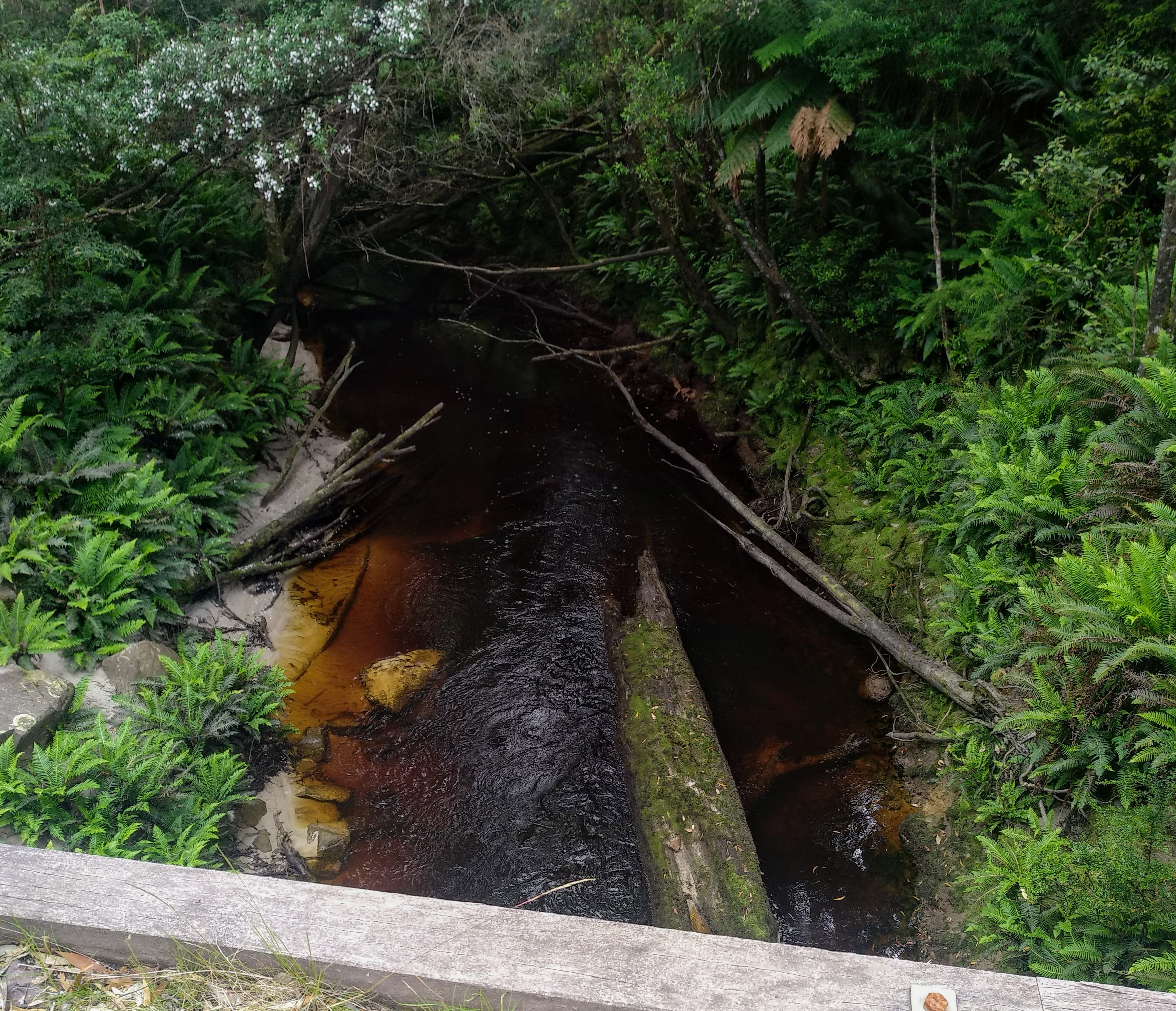
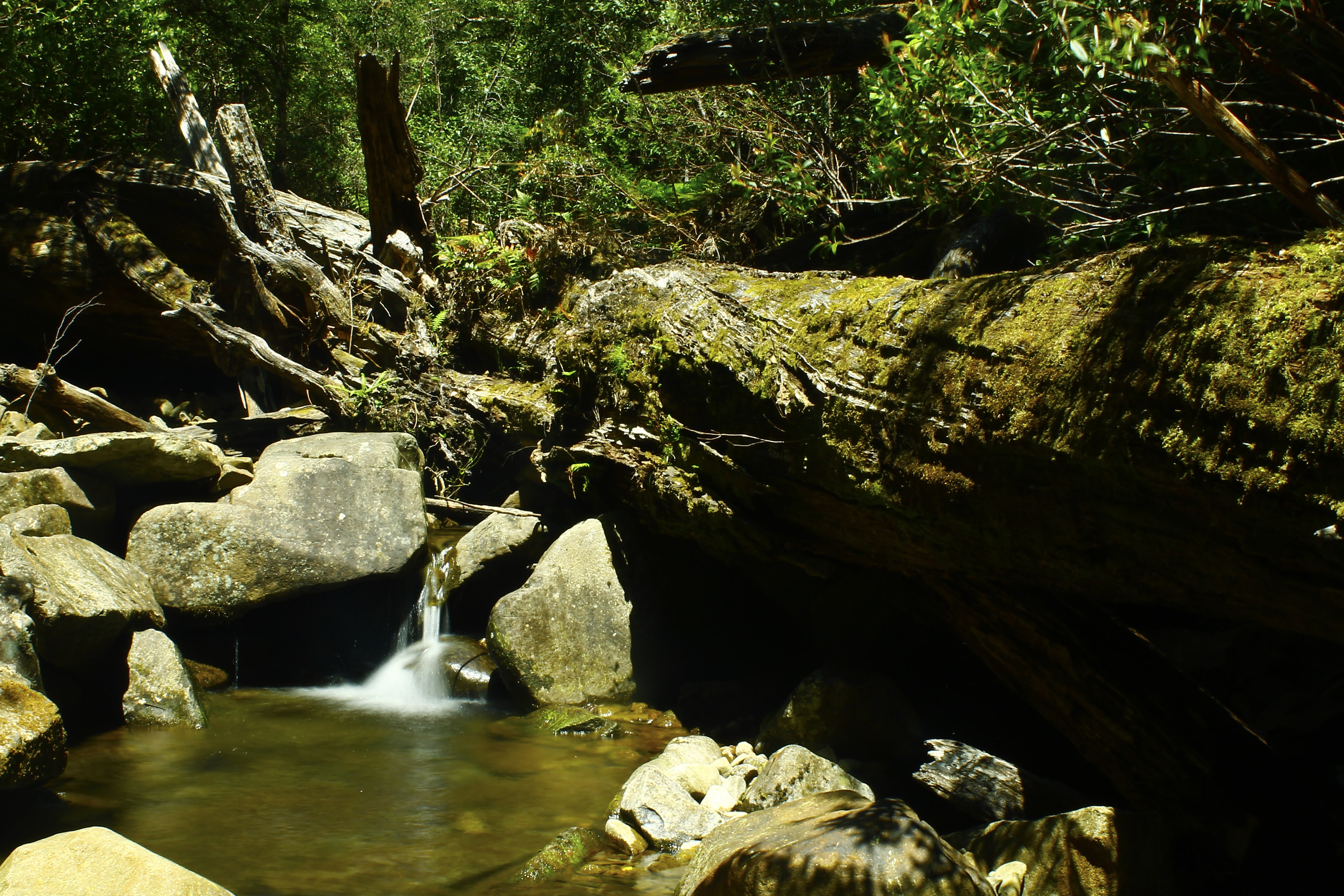
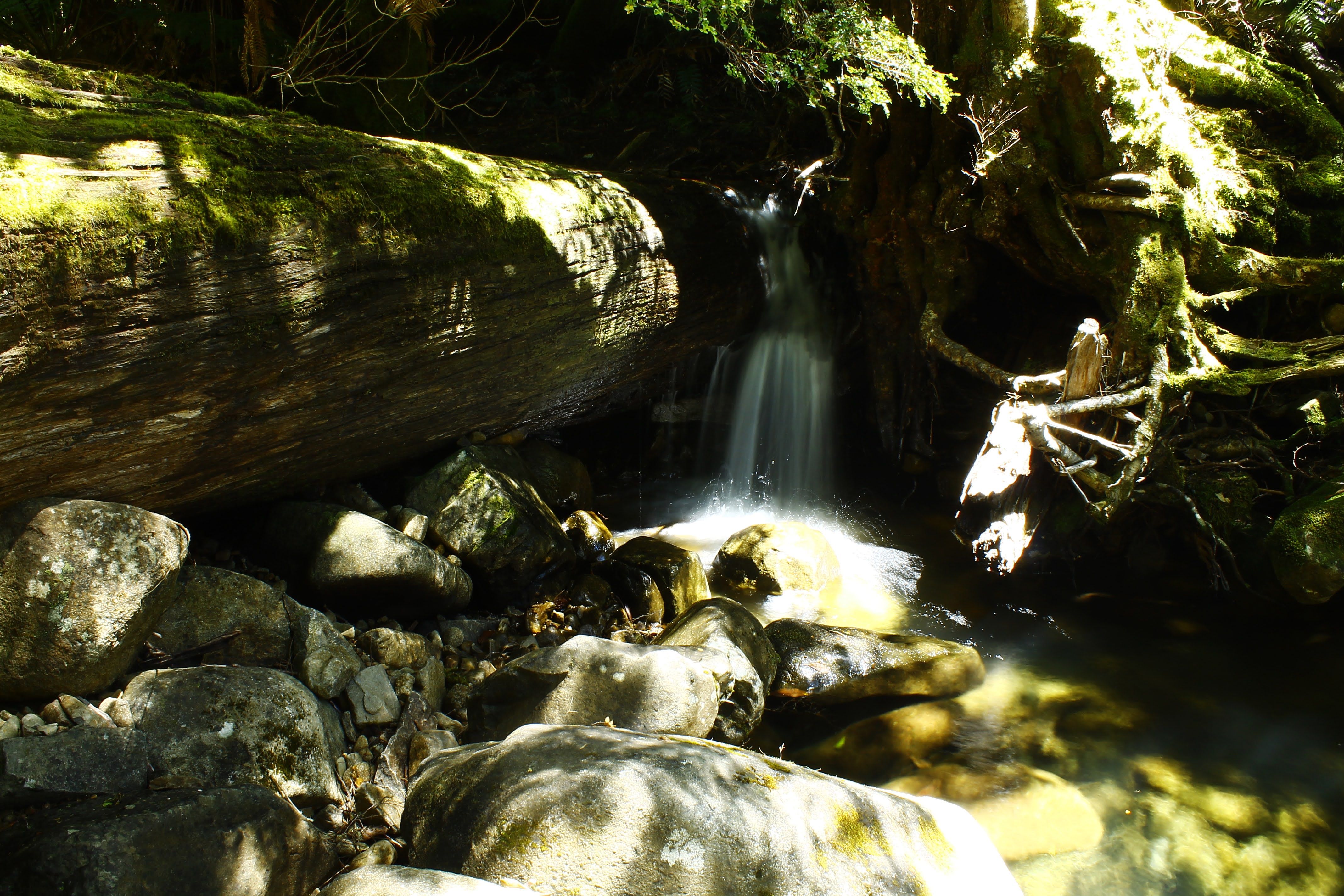
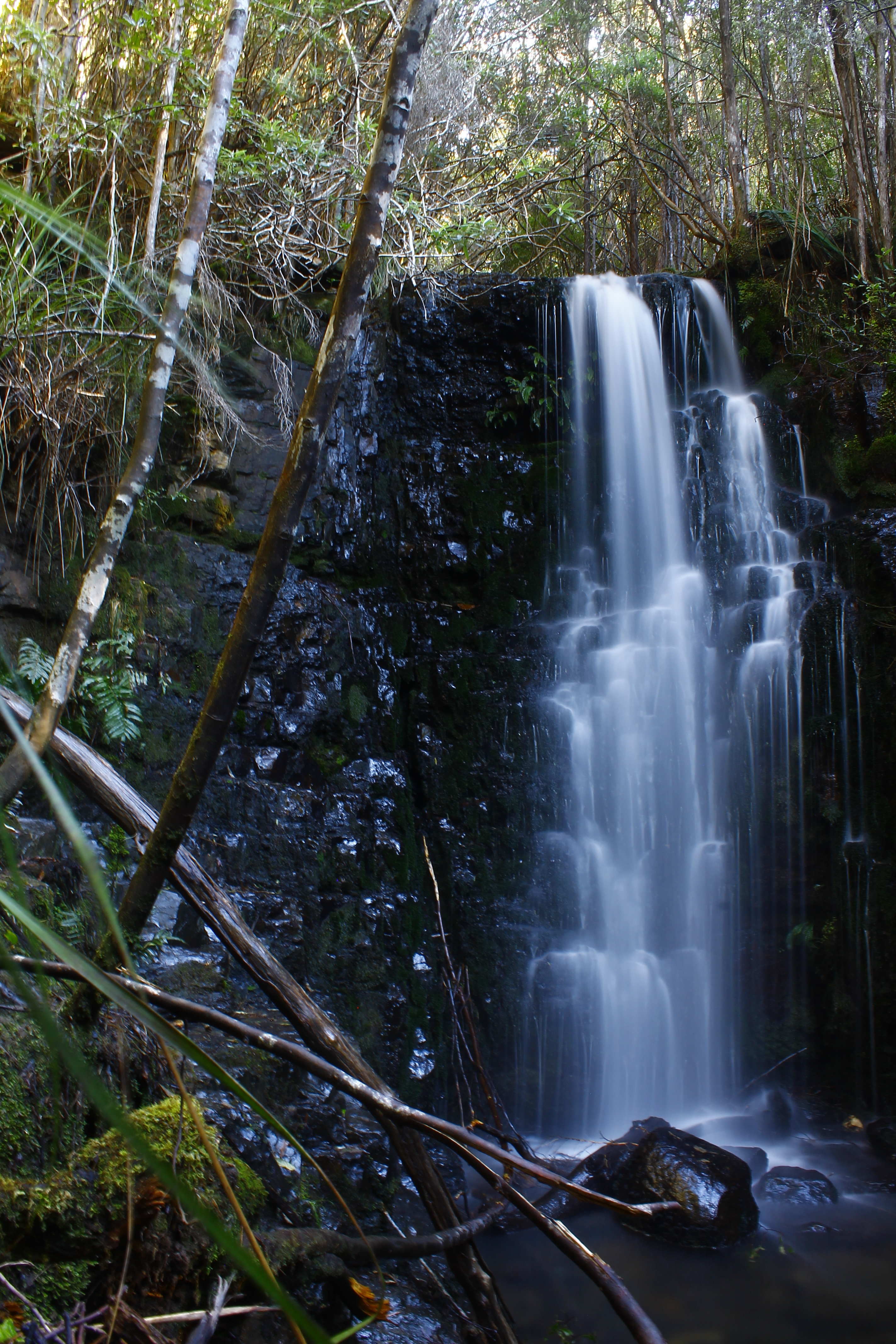
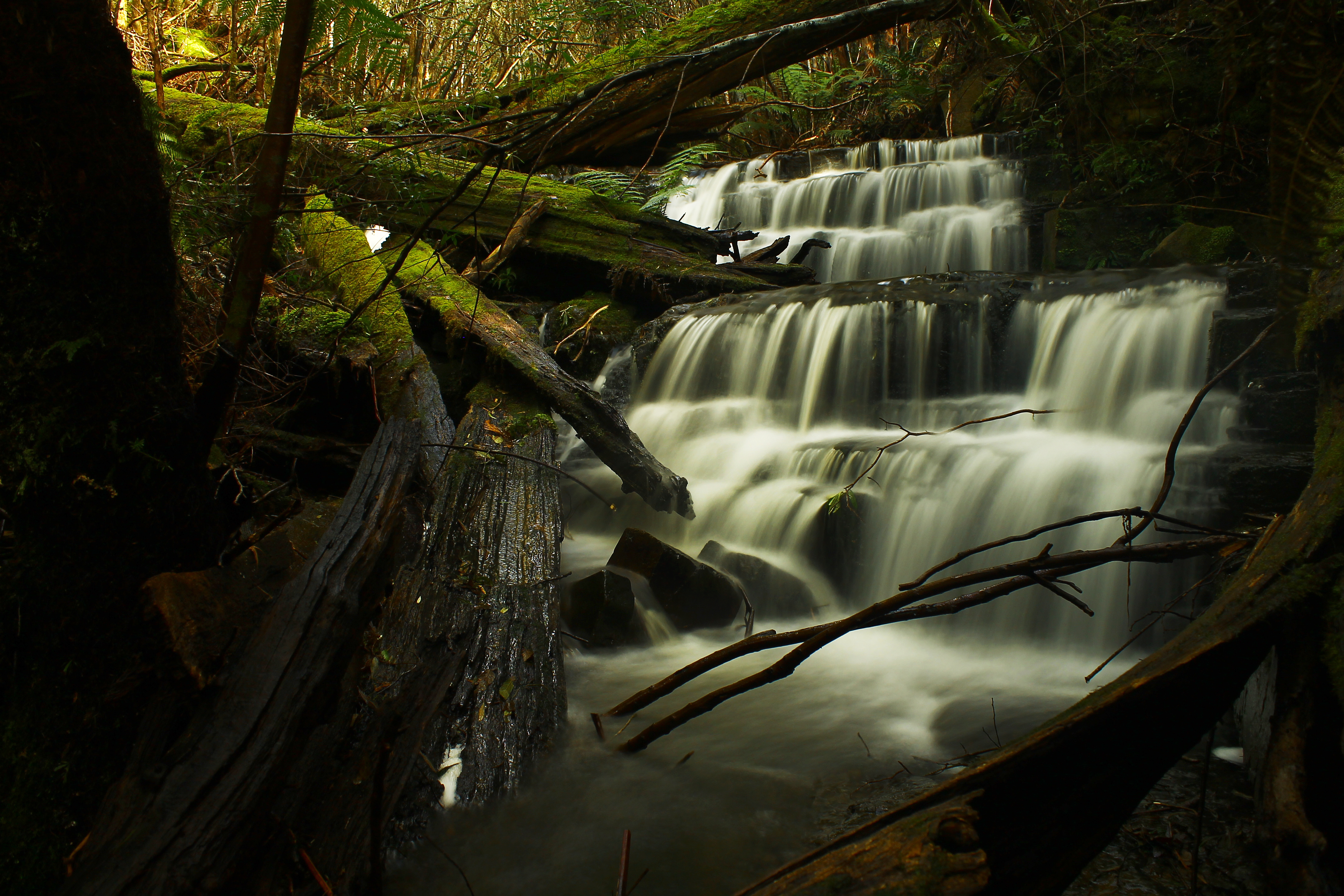
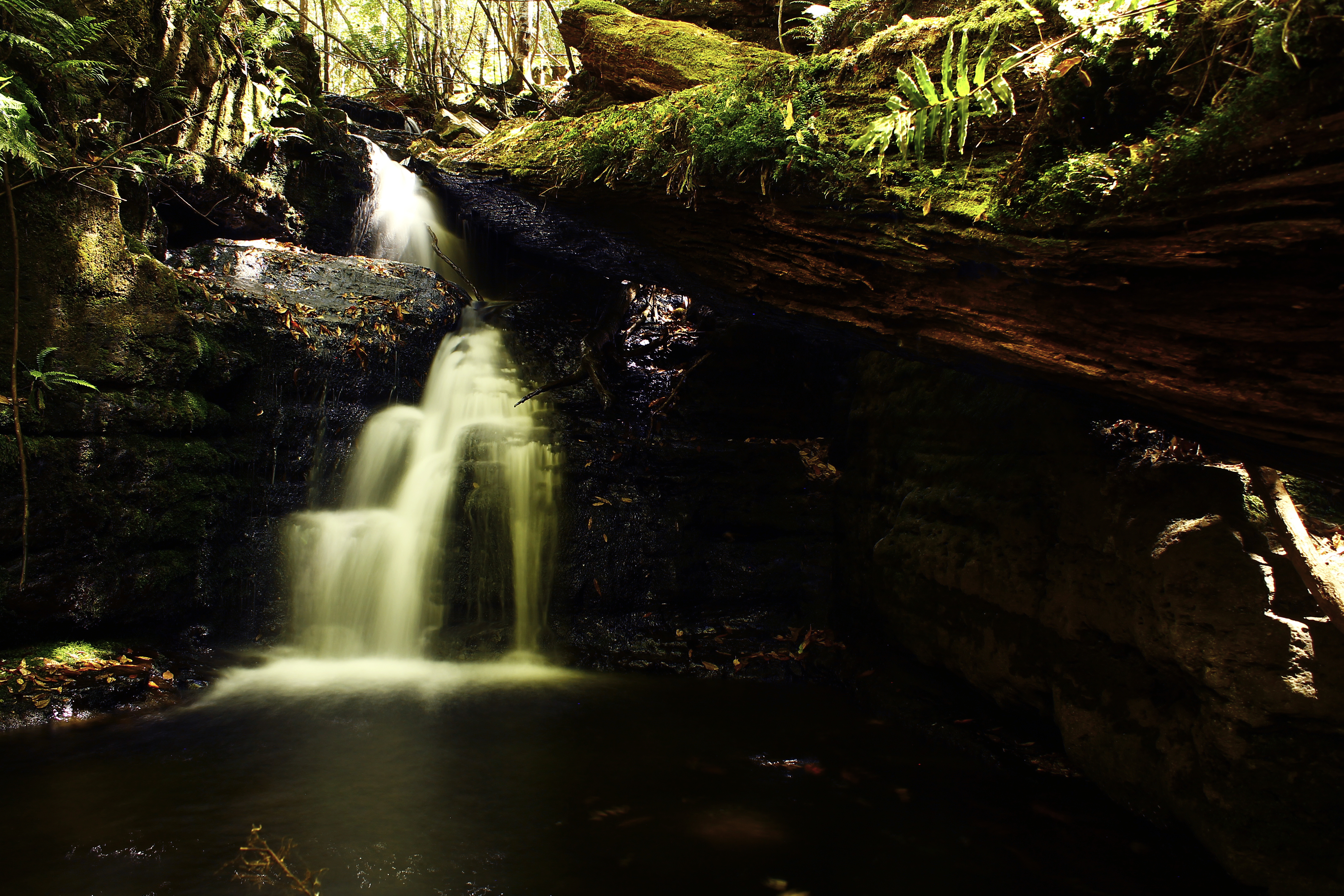
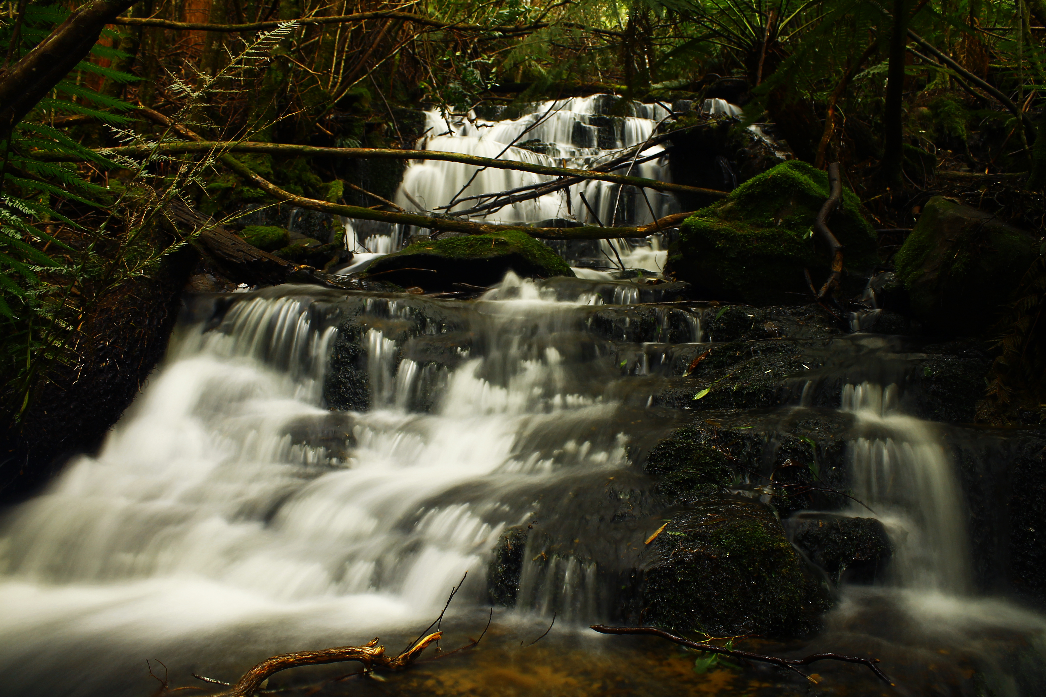
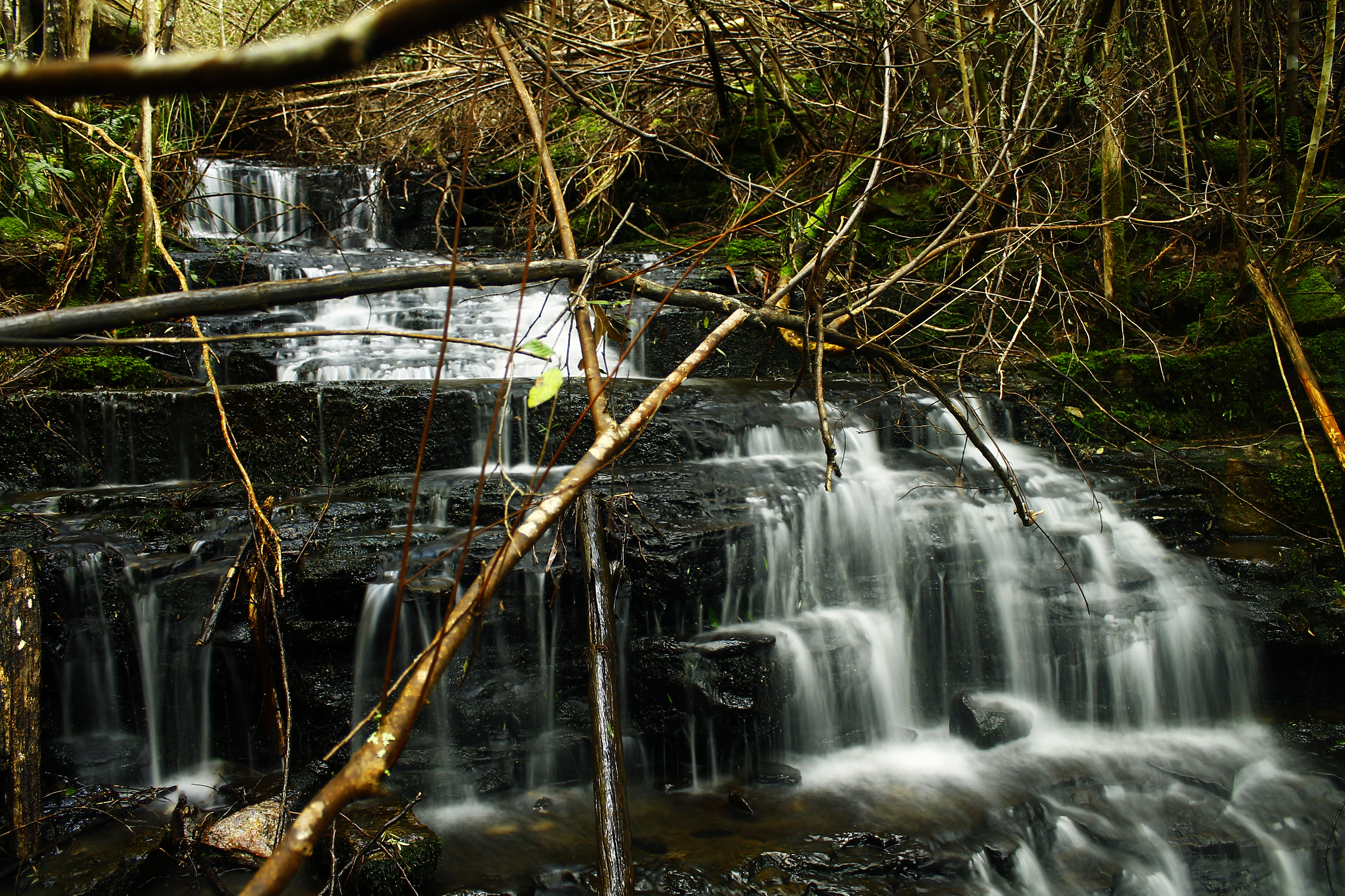
Maxwell’s Track crosses Winter Brook just before it connects with the Winterbrook Falls track. Thankfully on that day the Brook wasn’t flowing too heavily and we could safely rock hop across. The Brook itself was quite picturesque, with dark brown water stained from the buttongrass up the top of Black Bluff and moss and small plants skirting its edge. We turned down the Winterbrook Falls Track, heading back to the car. We didn’t visit the waterfall today as we were already running a bit late, but I will one day return for it.
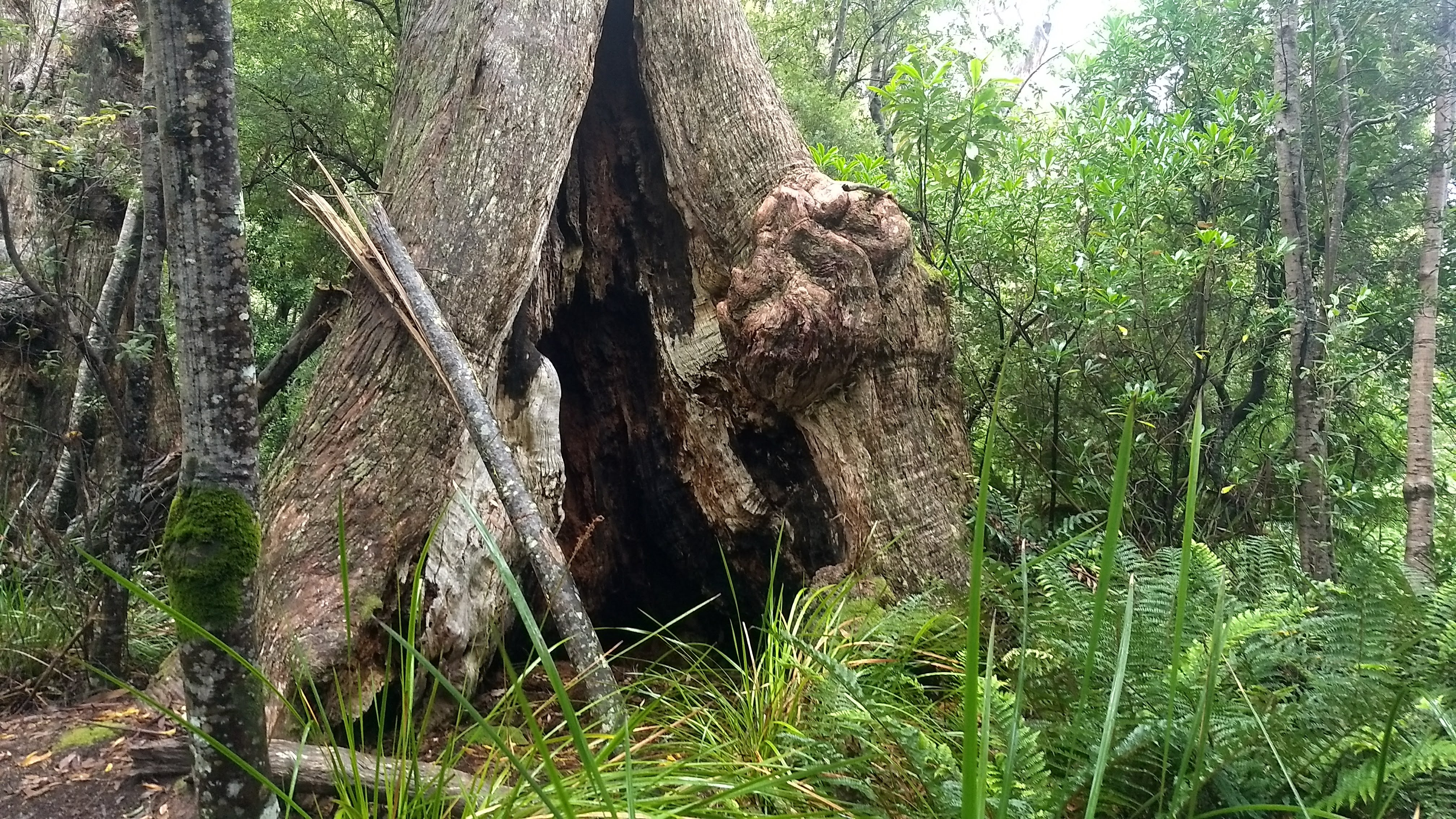
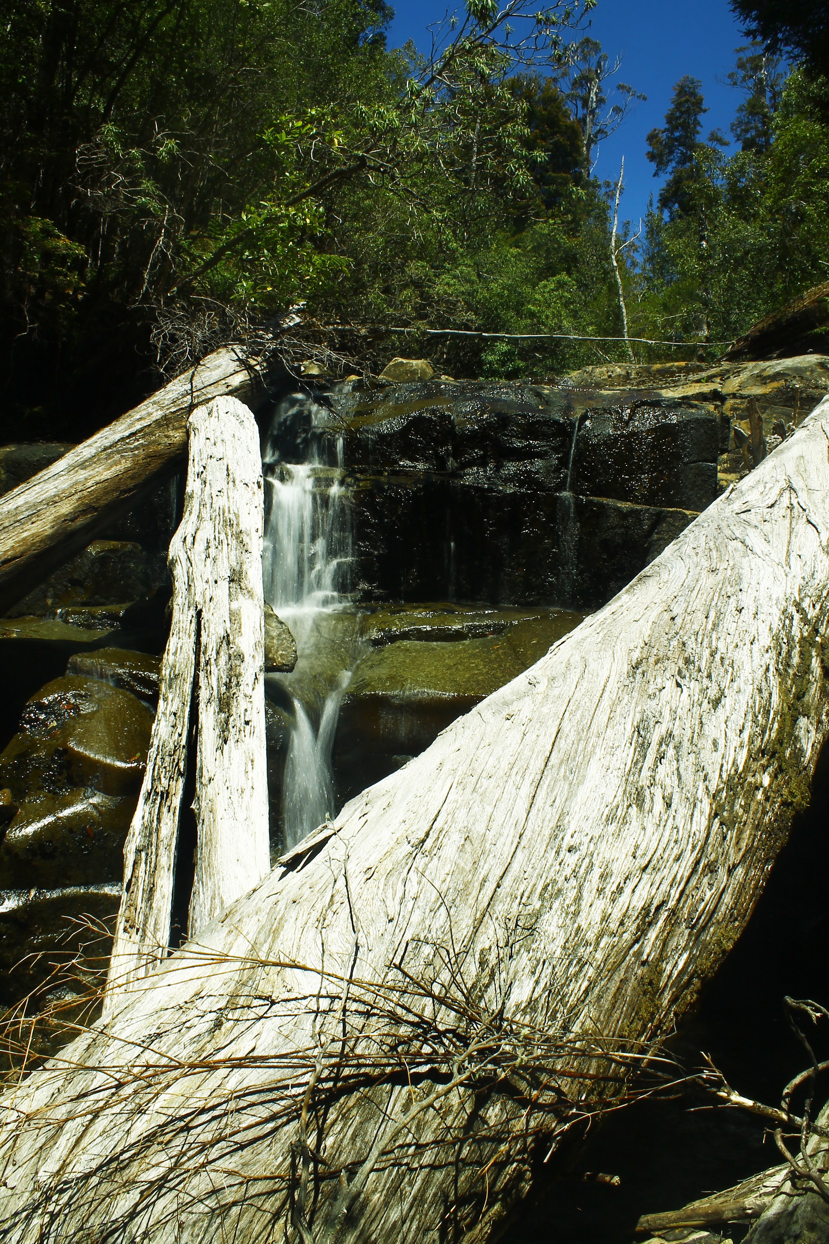
The section of track just after the turnoff was, at the time of writing, quite badly covered in fallen trees, and some serious acrobatics had to be done to weave through them in places. This was made up for though by some enormous king billys. We even found one with a circumference of at least 7 or 8 metres! Some of the king billys in this area, which were thankfully spared from logging, are estimated to be over 2000 years old.
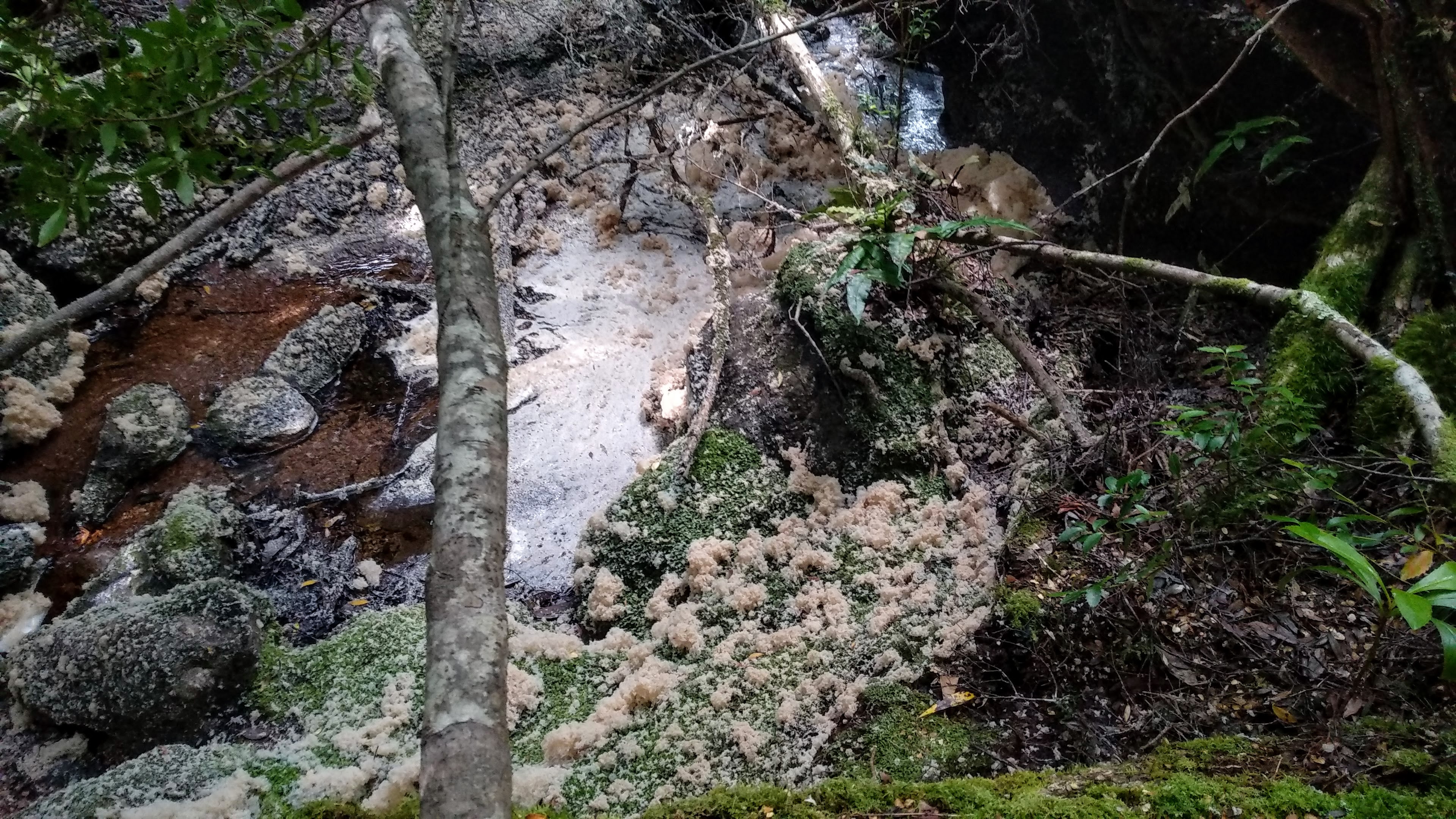
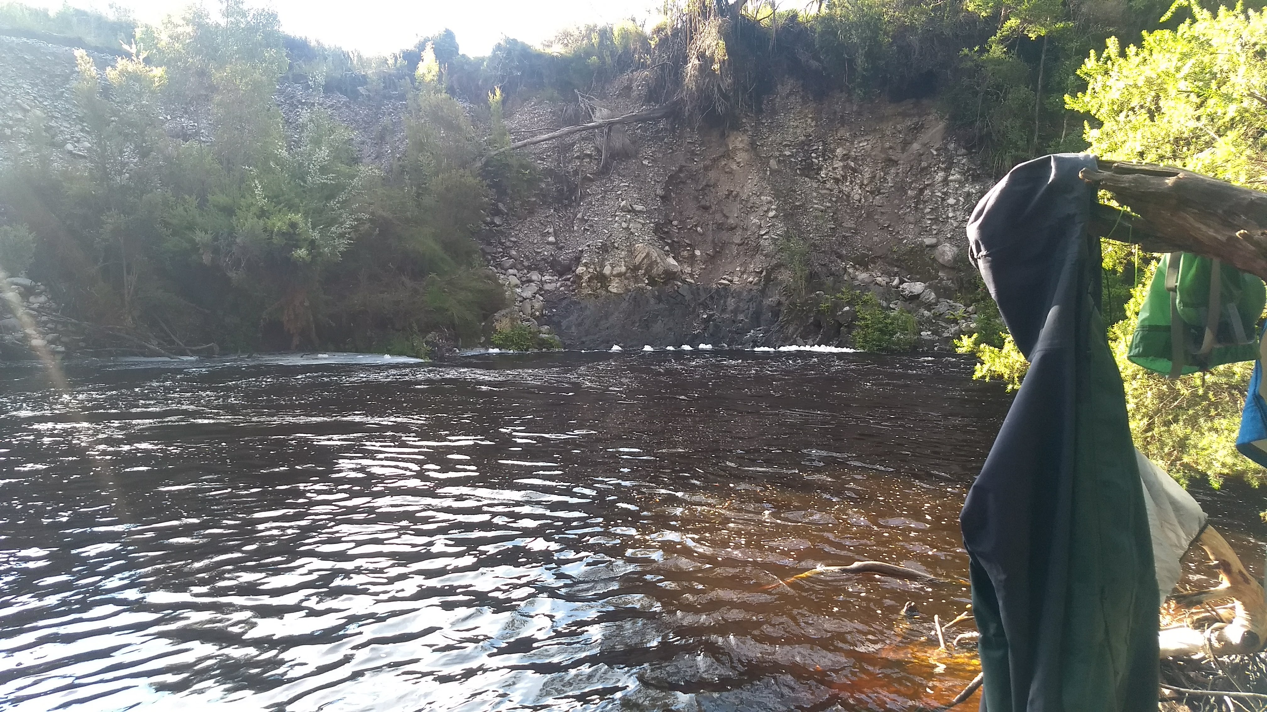
Some foam spread all over the rocks near a creek from when the water level was much higher a few days earlier
After most of the fallen trees were weaved through, the walk was very pleasant, and leads through some of the most beautiful rainforest I’ve encountered in Tasmania, certainly on par with some areas protected in the World Heritage Area.
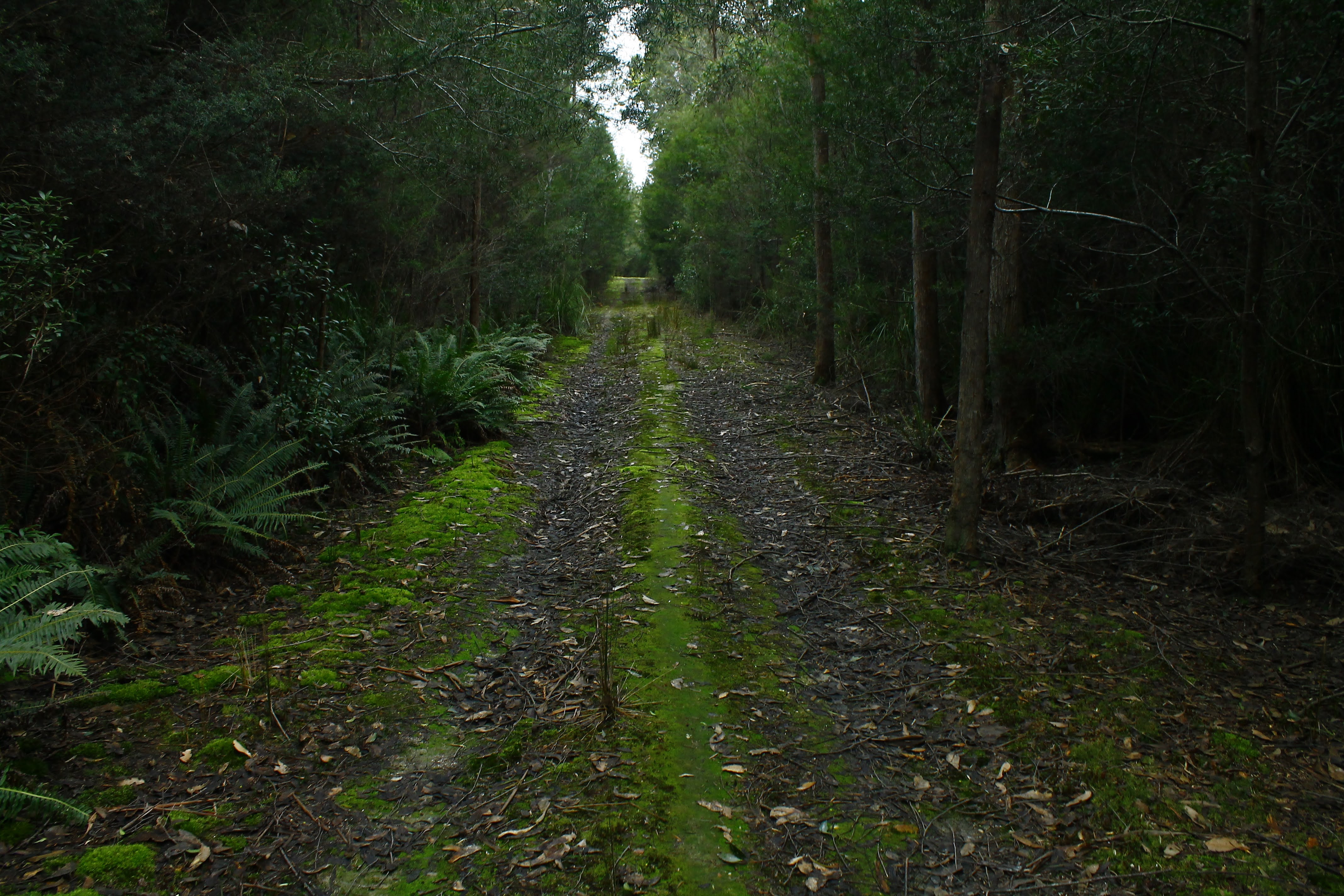
Closer to the carpark, the track flattened out, and evidence of the old tramway was more obvious, with some parts of the tramway still intact. This whole flat section was more open huge myrtle forest. It’s quite strange to stand in a temperate rainforest and be able to see more than 100 metres all around you. It was very easy walking through here, with solid flat track and boardwalk leading all the way out to the old Winterbrook Falls car park. From here it was just another 800 metres along flat road through regrowth forest to the car. The young myrtles regrowing here are all growing close together, interestingly in a hedge-like formation along the side of the road. This made me think about how great growing a hedge of myrtle would be as opposed to the non-native hedges that people surround their houses with at the moment.
Open myrtle forest close to the old carpark
Some big myrtles
If you’re ever around inland North-West Tasmania, or are visiting the Leven Canyon and are hungry for more, it is certainly worth looking up the directions to the Winterbrook car park and walking either to the falls, or just the rainforest loop (up to Maxwell’s Track and back to the car park along the Winterbrook Falls Track).
This area is not just under threat from logging, but also from a new power-line project that will cut straight through the Loongana valley. The towers in these lines will be almost as tall as the Wrest Point Casino in Hobart and a continuous 90 metre wide, 11 kilometre long strip of forest will be cleared, dividing Black Bluff from the Loongana range. These towers will be visible from Black Bluff and the Leven Canyon lookout and have significant impacts on the ecology, tourism, and residents of the area. The group: SOLVE Tasmania is dedicated to stopping the project and have much more information available on their website.
For over a month now I have held off writing about my experience on the South Coast Track: An 85km, 7 day walk from the isolated old mining settlement of Melaleuca to Cockle Creek, the southernmost drivable point of Tasmania. The track itself is fine, certainly challenging (and muddy) in parts, but an easily followable route that is most often meandering through incredible buttongrass plains and juicy coastal rainforest. But my experience with this walk was one enormous reminder that weather doesn’t care about you, and it can kill you. Easily.
I’ve certainly never felt as threatened by the natural world as I did during the 6 days we spent on the South Coast. While it is terrifying, there is something exhilarating and almost satisfying about being beaten around by weather. I take it as a reminder that we, as individuals, are just a tiny speck in the universe and that our arrogance as a species is unwarranted, as we are no match for the power of nature.
We went into this walk knowing we were going to be excessively rained on. But our flights with Par Avion had already been booked for weeks, so the walking dates were fixed. In any other situation my Dad and I would not choose to walk in these conditions and would have arranged another date, or called the trip off. But when you require a plane ride to the start of your walk, last minute cancellations are a bit more of a hassle.
Day 1
I woke at my parent’s house on the 14th of January to my Dad frantically telling me that our flights had been moved forward from 2:30pm to 10:30am. It was 9am and my parents live an hour from Cambridge Aerodrome. So, after 30 minutes of frantic last minute packing and consuming only a single apricot, we set off down the Midlands Highway and arrived just in time. We said our goodbyes and climbed aboard an upsettingly small 6-seater plane. Thankfully, as the flight had been moved forward, the worst weather of the day was avoided and the ride was relatively smooth, with incredible views down to Hobart, the Channel, the southern forests, and the stretch of the south coast that we would soon be walking back along.
After a smooth landing on the gravel Melaleuca airstrip, single-handedly constructed by Deny King, we collected some canisters of gas for the trip, greeted the Melaleuca caretakers, and went to investigate the bird hide. Stepping into the hide and looking out at the bird feeders through the huge glass pane, we joked that it would be funny if an orange-bellied parrot flew straight in front of us. Not even a minute after this was said, an adorable little orange-bellied parrot flew down to one of the feeders and had a good 5-minute nibble. I was beyond excited to be able to see such a beautiful bird, of which there are approximately 50 wild individuals remaining. Unfortunately, my phone chose this time to crash completely, so there were no photos taken. Though I still am ecstatic to have been able to view the bird for an extended period of time.
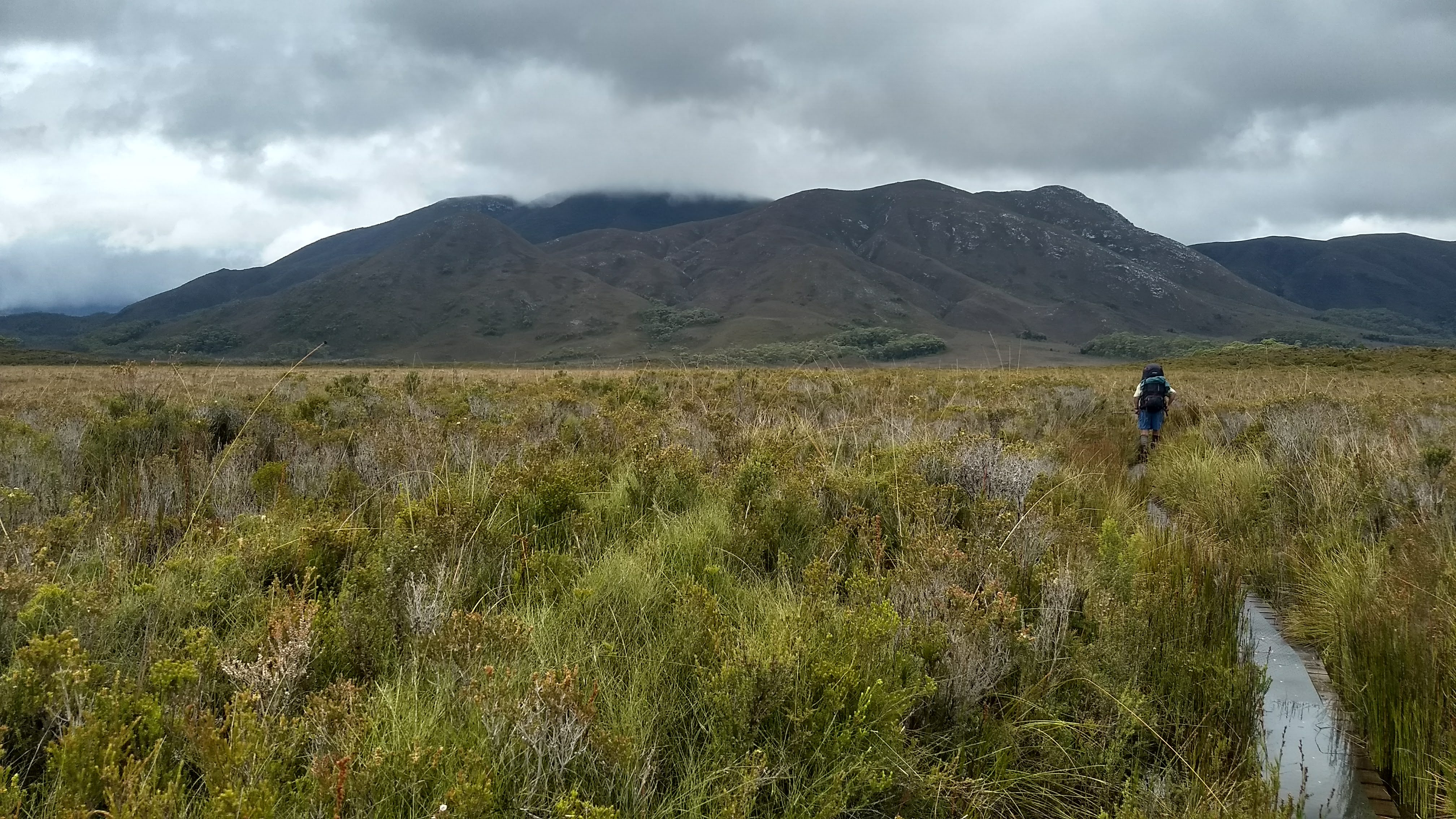
From here we set off along the track, through the endless buttongrass plains of Melaleuca. The rain started almost immediately, though it was nothing too heavy yet. The visibility was still good enough for us to have a great view of Melaleuca Range to the west, and the impressive rock-faces of New Harbour Range directly in front of us. The first day of walking was a relatively relaxing time, and I took plenty of time to observe plants and watch and listen for birds. I heard the incredible ascending whistle of an eastern ground parrot, and watched a flock of beautiful firetails (Tasmania’s only native finch) singing while perched in a dead tree. There also was, as there always is, the constant chattering of crescent honeyeaters.
Pandora HillLooking out towards Cox Bight
Walking towards New Harbour Range through the buttongrassNew Harbour Range getting closer
It took us just 3 hours to reach the campsite at Cox Bight for the night and by then the rain had fully cleared. This left plenty of time to set up and explore the beach. I spent some time watching an olive whistler whistling and hopping through the melaleuca trees, and some hooded plovers and pied oystercatchers skittering along the sand before I had an early dinner (at this point I still had only eaten an apricot all day).
The beach at Cox BightOur campsite for the nightLooking out across Cox Bight from the camp
I spent some more time exploring and meditating on the beach before heading to bed quite early, while it was still light.
Day 2
It had rained again in the night, destroying our hopes of packing up dry tents in the morning. This was soon made up for though, as my Dad, awake before me as always, excitedly told me to get out of my tent. I unzipped the fly to see a very cute eastern quoll just a couple of metres away from us, sniffing out my Dad’s breakfast. It hung around for a short while before going to visit all of the other campers.
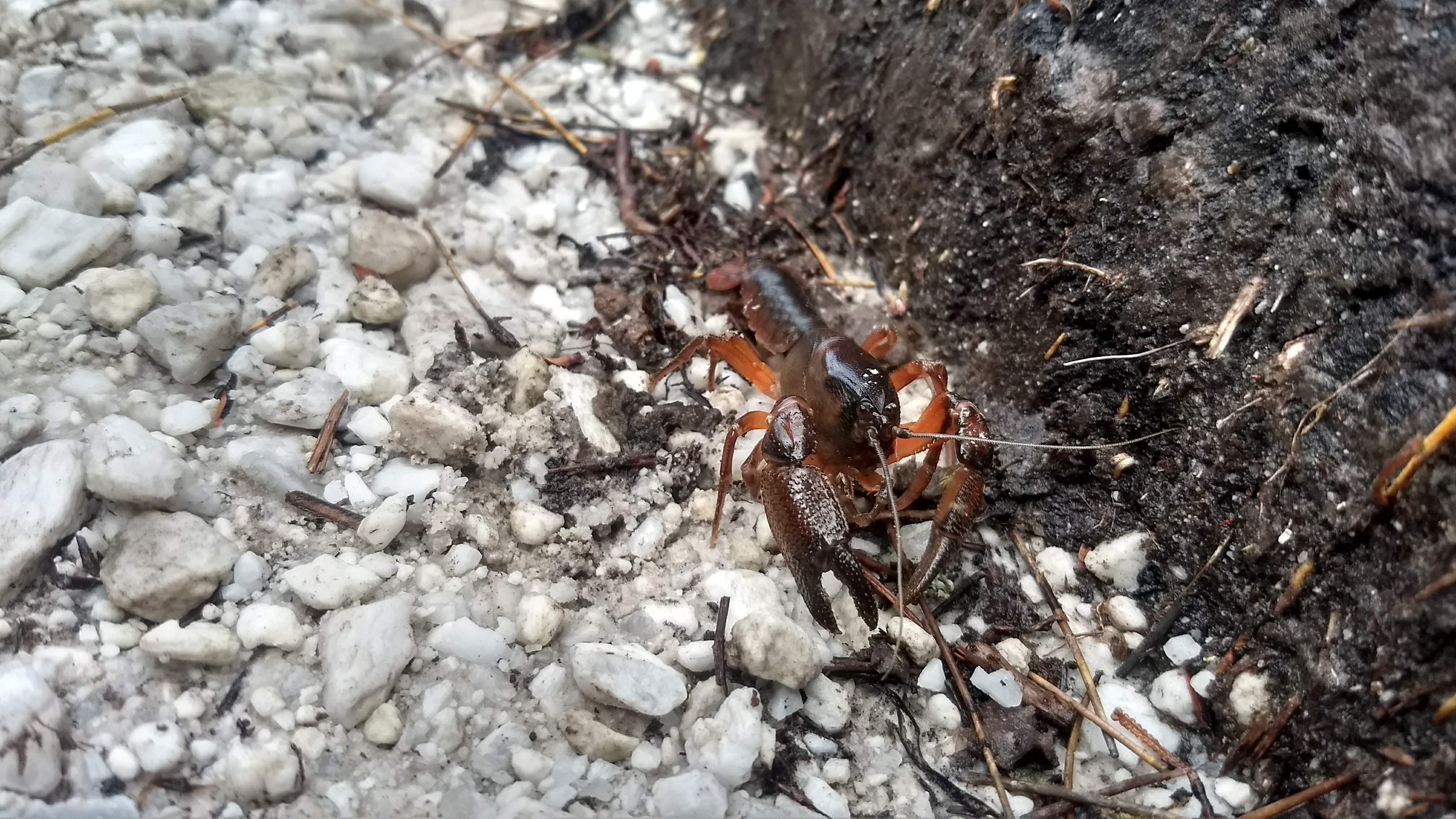
We slowly packed up our wet tents, not yet knowing that these tents would not be dry again until the end of the walk, and got going along the beach towards Point Eric. Then again through endless buttongrass, up towards our first real ascent, the Red Point Hills. Keeping in mind that the next day we had to climb 900+ metres, the climb up these hills felt quite relaxing. Halfway through the climb a small friend greeted us. A tiny freshwater crayfish attempted to ward us off the track it was scuttling along (fair enough) and raised its claws at us, which made for a good photo.
Walking towards Point EricLooking back at Point Eric after climbing over itMuch butongrassLooking back at Cox BightA southern hemisphere crayfish. Suspected Spinastacoides inermis
We soon reached the first of many river/creek crossings at Louisa Creek. This crossing was quite relaxing compared to the crossings we came across later on, being only ankle deep. Not long after this, the big rain began. As we continued walking through the buttongrass, we were hoping it would just be a short shower, but the drops kept falling, for hours… and hours…
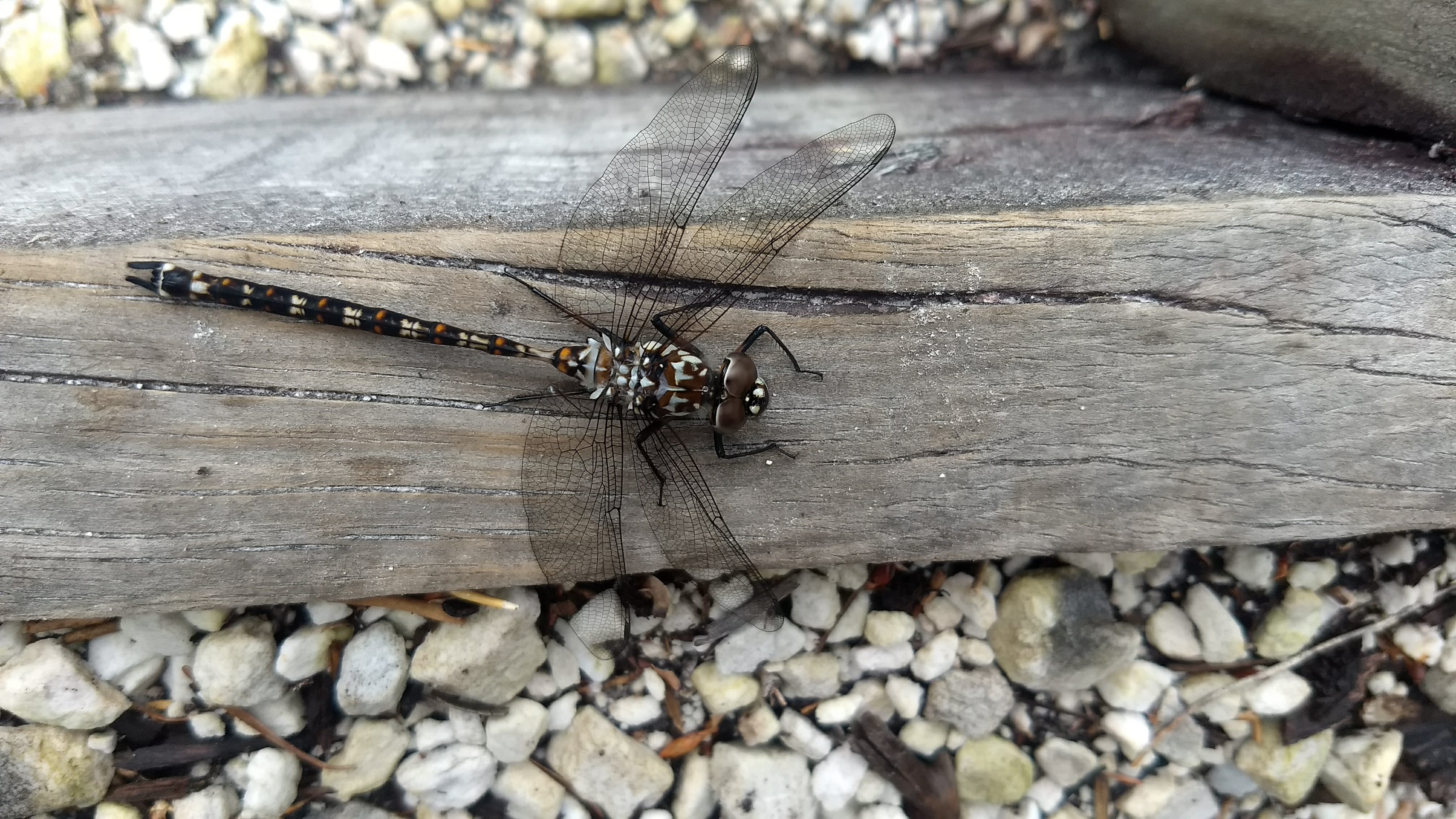
The Ironbound Range beckoning us closerMt Louisa looking pretty menacingA Lesser Tasmanian Darner (Austroaeschna Hardyi)The Louisa Creek crossingSome stairs to help you out of Louisa Creek
We continued non-stop for the rest of the day, keeping our heads down as we trudged towards each stand of trees hoping we were approaching our campsite at Louisa River. Though every time it was only another creek we had to cross.
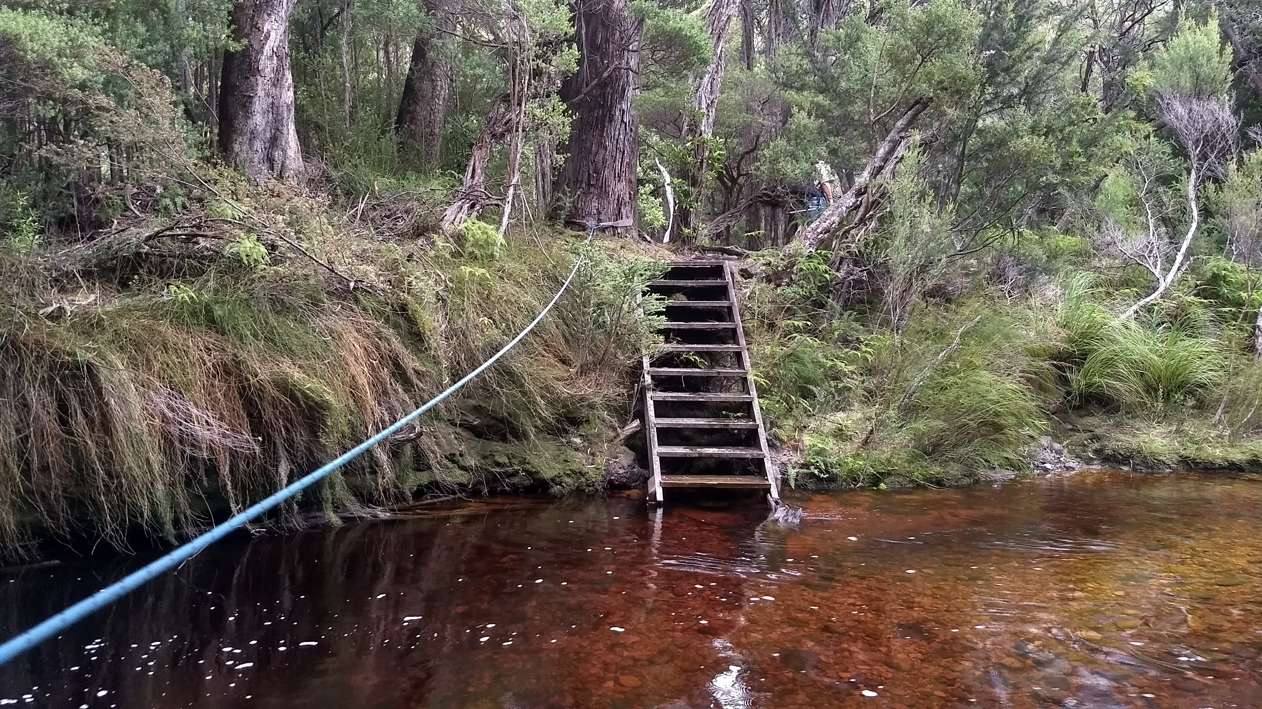
We finally reached the Louisa River camp and the rain was still falling hard. To get to the camp though, we had to first cross the river, which had no doubt risen significantly since that morning. Though by stepping slowly and carefully, and by holding tightly onto the rope set in place across the river, we made it across. Once at the campsite, we stood around for a while, wondering if we would get a small dry window where we could pitch our tents. But no, we had to perform every bushwalker’s favourite task of setting up a tent while it rains, and attempting to keep everything dry. As an upside, the rainforest surrounding the Louisa River campsite was particularly beautiful in the wet and the many huge myrtles along the riverbank made for a picturesque setting.
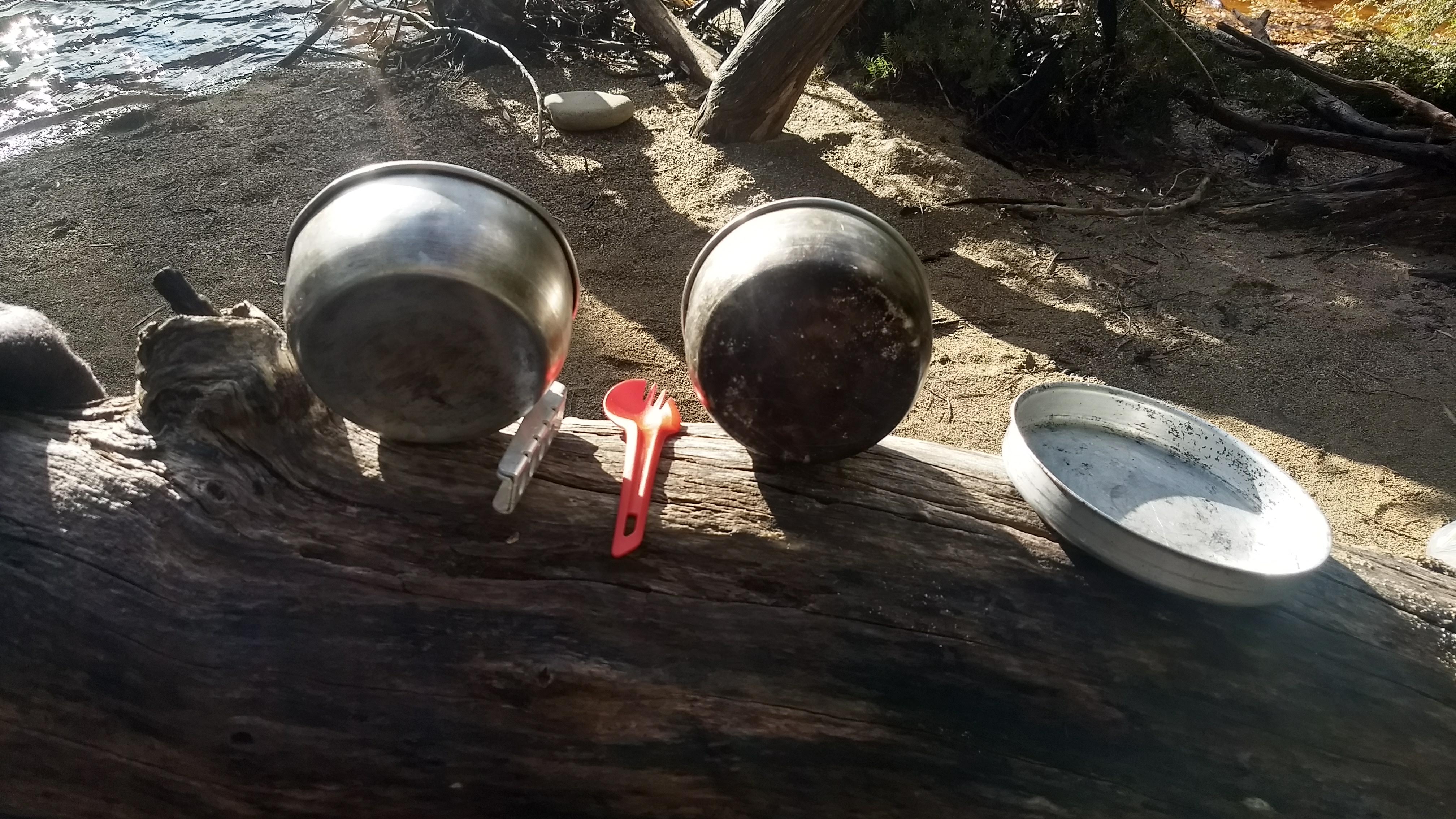
Drying my dishes in the small amount of sunlight we gotYou can see how powerful this river can get from the height of the bankThe campsiteSome of the luscious vegetation by the riverA huge Eucalyptus tree at the campMore forestLooking up a huge myrtle
After a few hours of lying around in our tents, the sun eventually came out and the rain began to settle. Which gave us a small opportunity to cook dinner, take photos, and feel nervous about how high the river was rising.
Day 3
The day of climbing the Ironbound Range is the classical ‘hard day’ of the South Coast Track. But, ‘hard day’ was a bit of an understatement for our experience.
Packing up predominantly wet items in the morning, we were at least happy that it wasn’t raining anymore. We set off quite early, knowing that we had a long day ahead. This day of the walk is relentless, beginning with a big creek crossing, and almost immediately ascending straight up. The weather for the day started off quite mild, but overcast, but soon picked up.
The only picture I took on the way up the Ironbounds, just before the bad weather hit. A white waratah (Agastachys odorata) in flower.
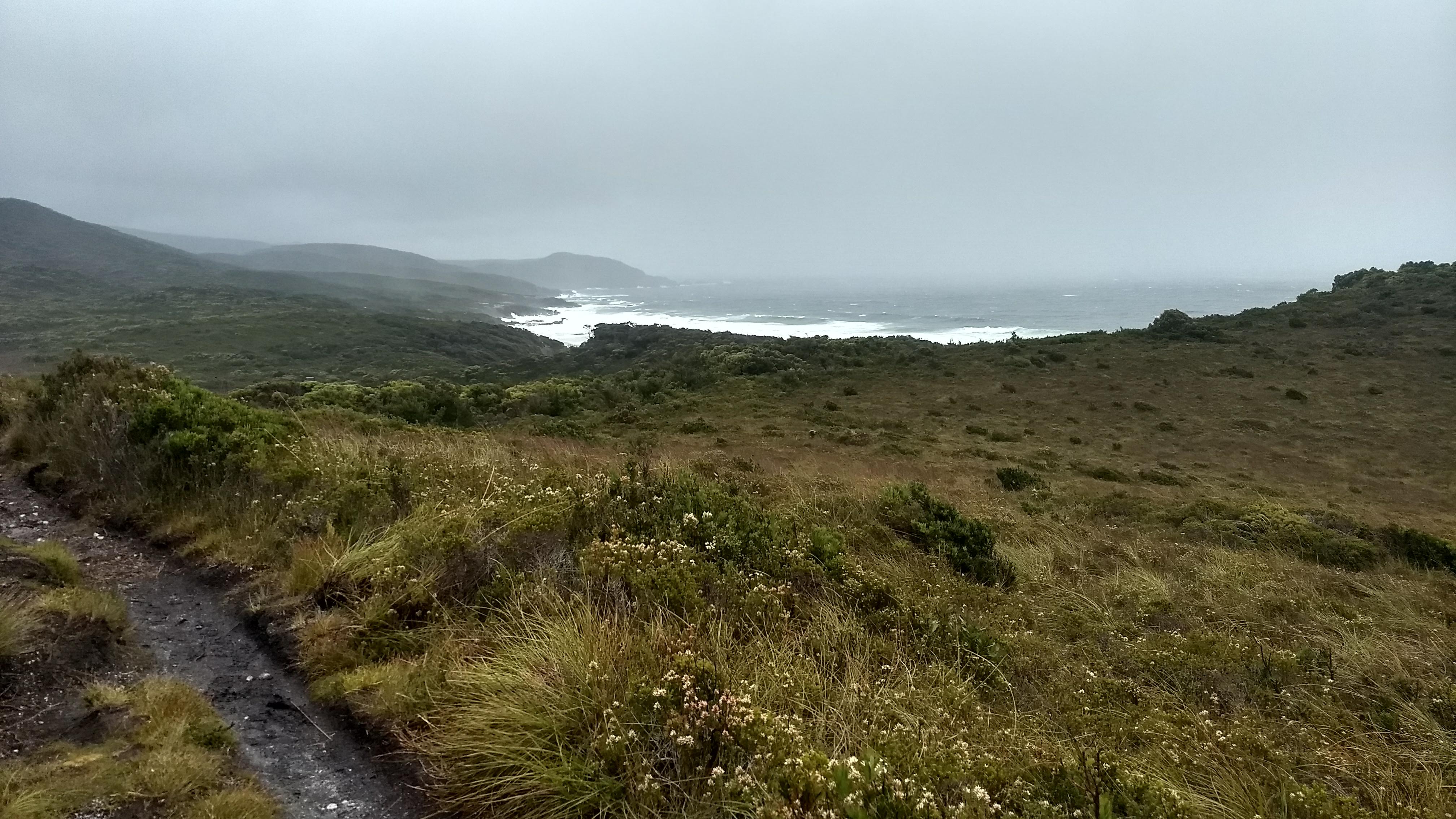
As we ascended the range, the rain started to get heavier, the wind stronger, and the angle of the rain shifting more and more horizontal. By the time we had reached the first big ridge of the range, we were being smacked in the face by rain that appeared to be coming up from the ground below the ridge, and almost knocked over by the sheer force of the wind. Up on the ridge where shelter is non-existent, things began to get a bit scary, and very cold.
An intensely thick mist rolled in over the range, and we were soon unable to see more than a few metres ahead of us, making the end of this seemingly eternal climb appear even further from us. Further up the range in particularly exposed parts, the wind gusts were so strong that it became difficult to even take a step without being knocked over. At times we had no choice but to stand with our legs apart, and try desperately to remain upright while a big gust came past. There were points where we would enter into a small patch of sheltered alpine vegetation, and we would think we had finally escaped the exposed mountainside, only to be sent straight back out into it.
When we did finally start to descend the range, things were no better. The track leading down the Ironbounds is often referred to as ‘the drainpipe’ with good reason. ‘Walking’ down this track was more akin to clambering through a huge pipe full of debris, with a torrent of water rushing down underfoot. The rain was still coming down heavily (though at least it was vertical) and it was still dangerously cold. The conditions, combined with very slow walking speeds (and me not wearing enough layers…), led to me developing a short bout of hypothermia. I had started to feel a bit nauseous while up on the range, and descending, the feeling only got worse. I eventually had to stop and rest when my thoughts were no longer making sense to me. Thankfully my Dad was only a few metres ahead of me and he stopped to come and help.
Neither of us initially knew I was hypothermic. But my Dad eventually figured it out when I couldn’t respond properly to the things he was asking me and I was desperately reaching for his hands for warmth. He managed to take my raincoat off to fit an extra jumper on me, and put a beanie on my head and sent me back walking again to regain my body temperature. While still delirious for some time, I somehow was able to keep walking and get warm.
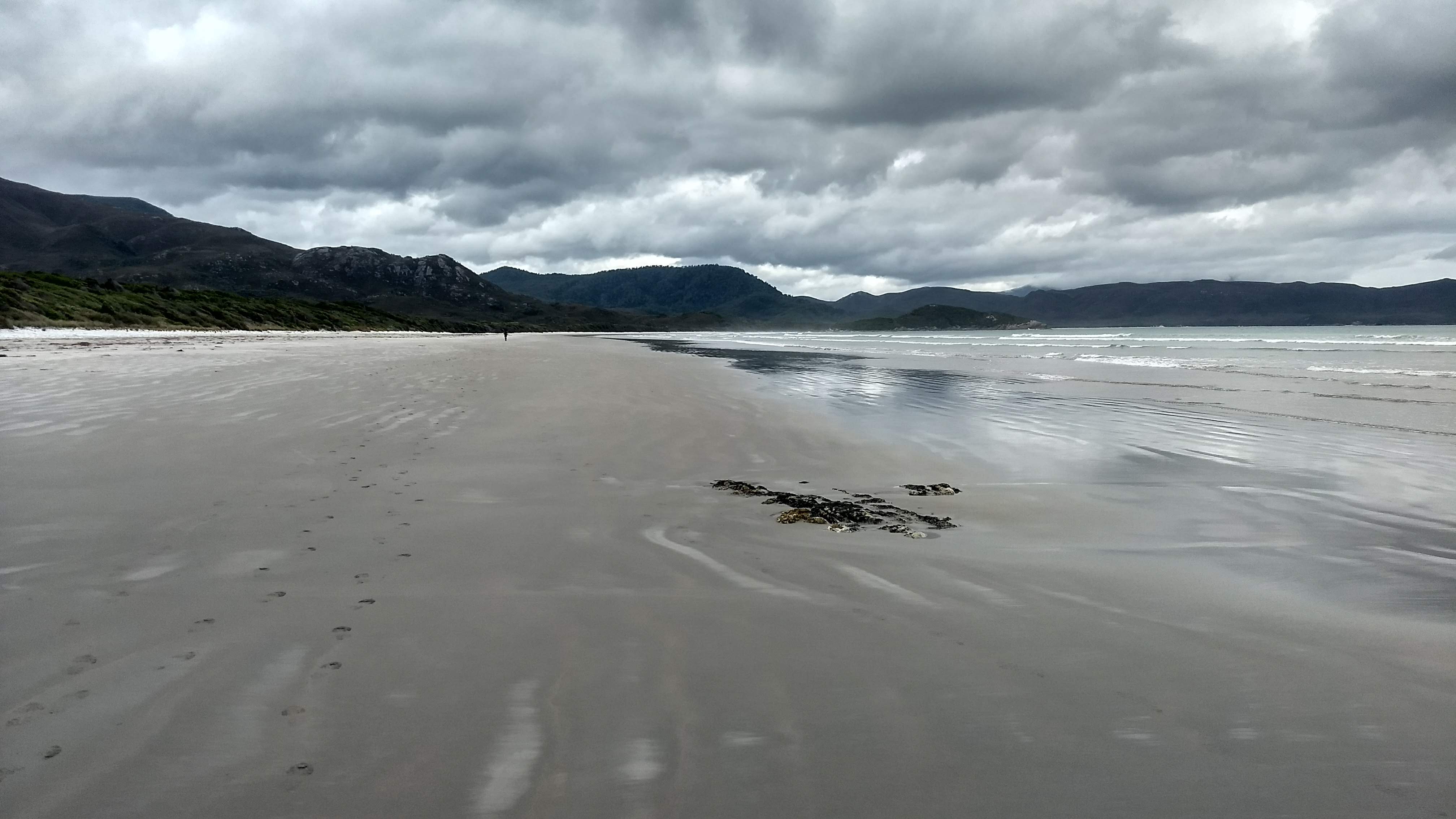
The day wasn’t done with us yet though, as we soon came across a creek we had to cross that had fully flooded. The creek, which typically doesn’t even get a mention in walking notes for the South Coast Track, was a full white water torrent. Thankfully, someone from the big group ahead of us had stuck around to help people across. I managed to get across with his help without too much trouble, but the force of the water against my feet in the creek was immense, and getting across without help would have been a real challenge. Multiple others who crossed after me had their feet washed out by the water and were lying horizontal in the creek, being pummelled by water, incredibly held in place by the grip of the man who had waited around to help. Without him there I am sure many people would have been washed a significant distance down the mountain.
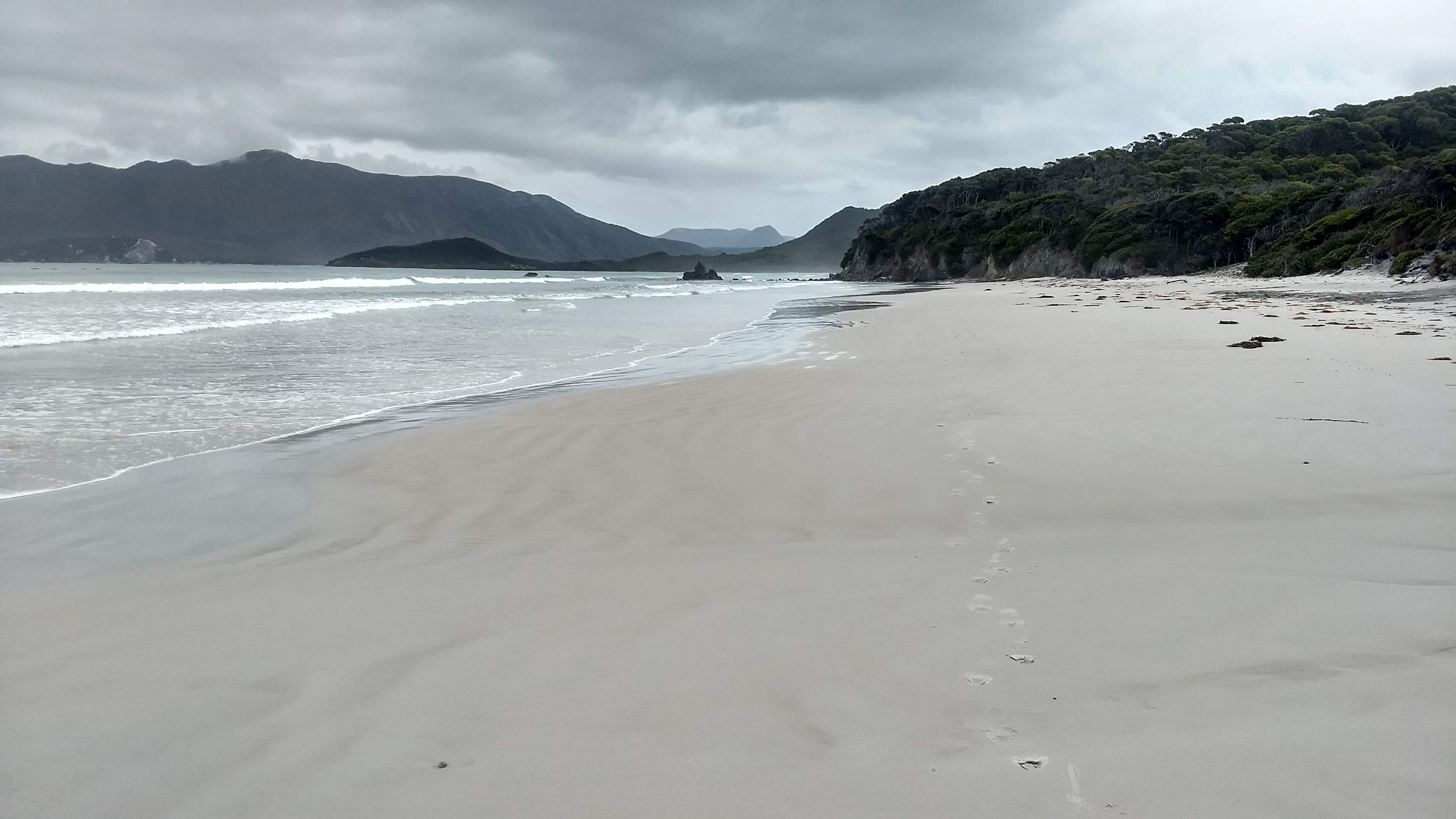
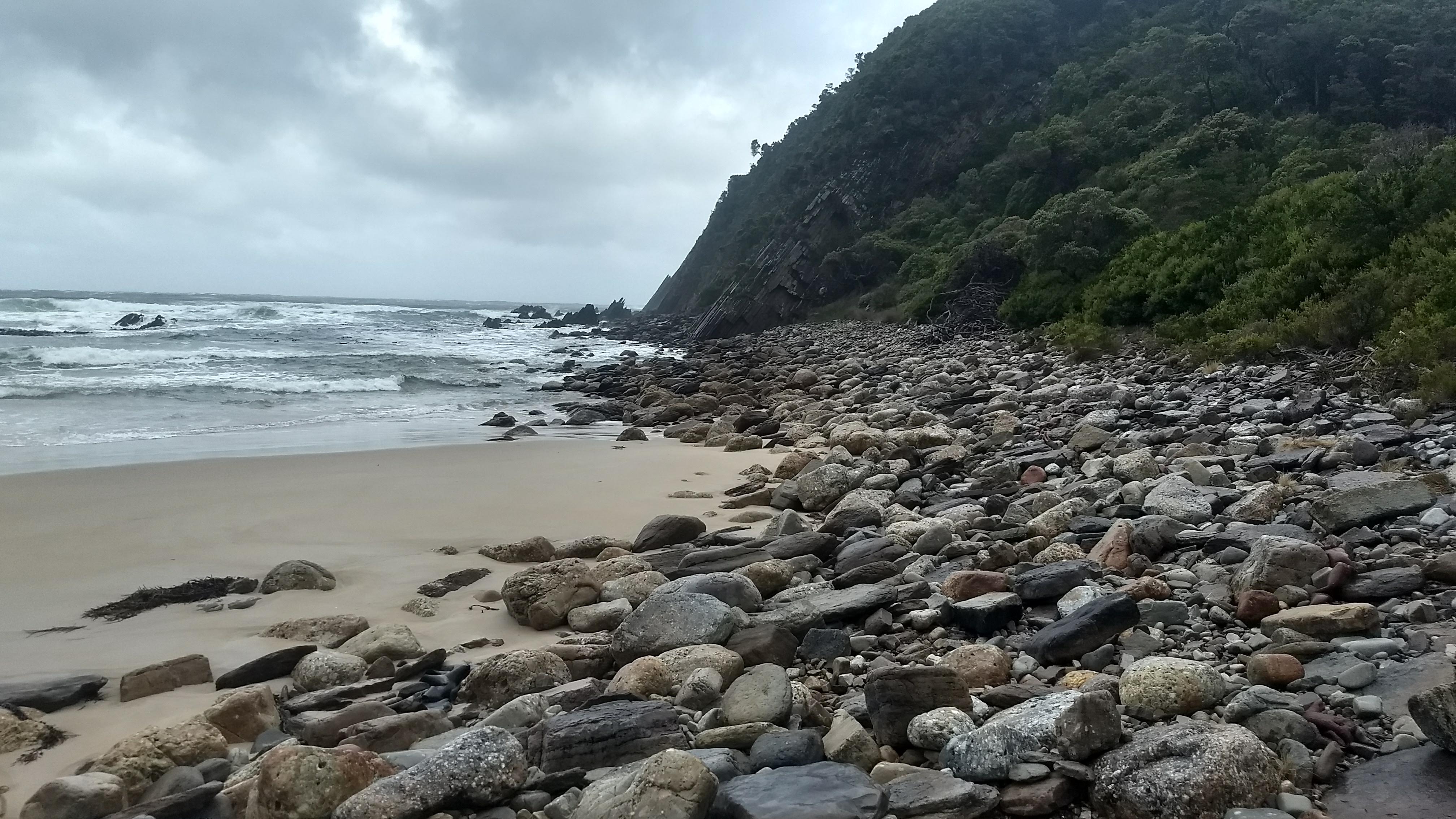
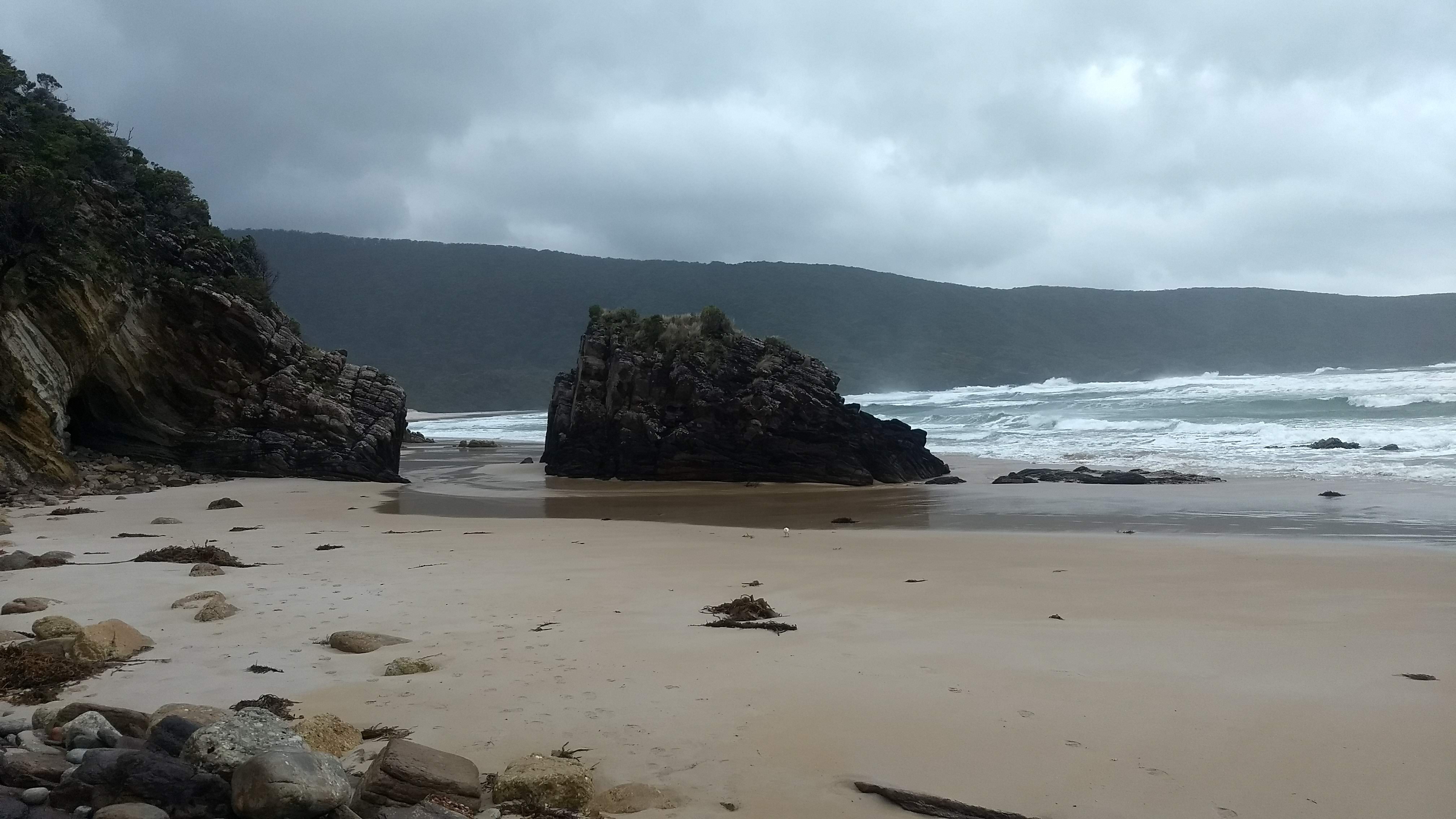
From hereon we were able to relax a bit, as the walking got easier and the rain let up slightly. The final part of this walk took us through quite open half coastal forest, half rainforest, with good views out to the rocky cliffs and caves on the shores of Deadman’s Bay. We arrived at the Little Deadman’s Bay campsite completely exhausted, and we were soon in bed.
Some Melaleucas in the coastal rainforestA small stinkwood (Zieria arborescens).Some cliffs and caves at Deadman’s BayA cute and powdery unidentified mothA small cove in Deadman’s Bay
Day 4
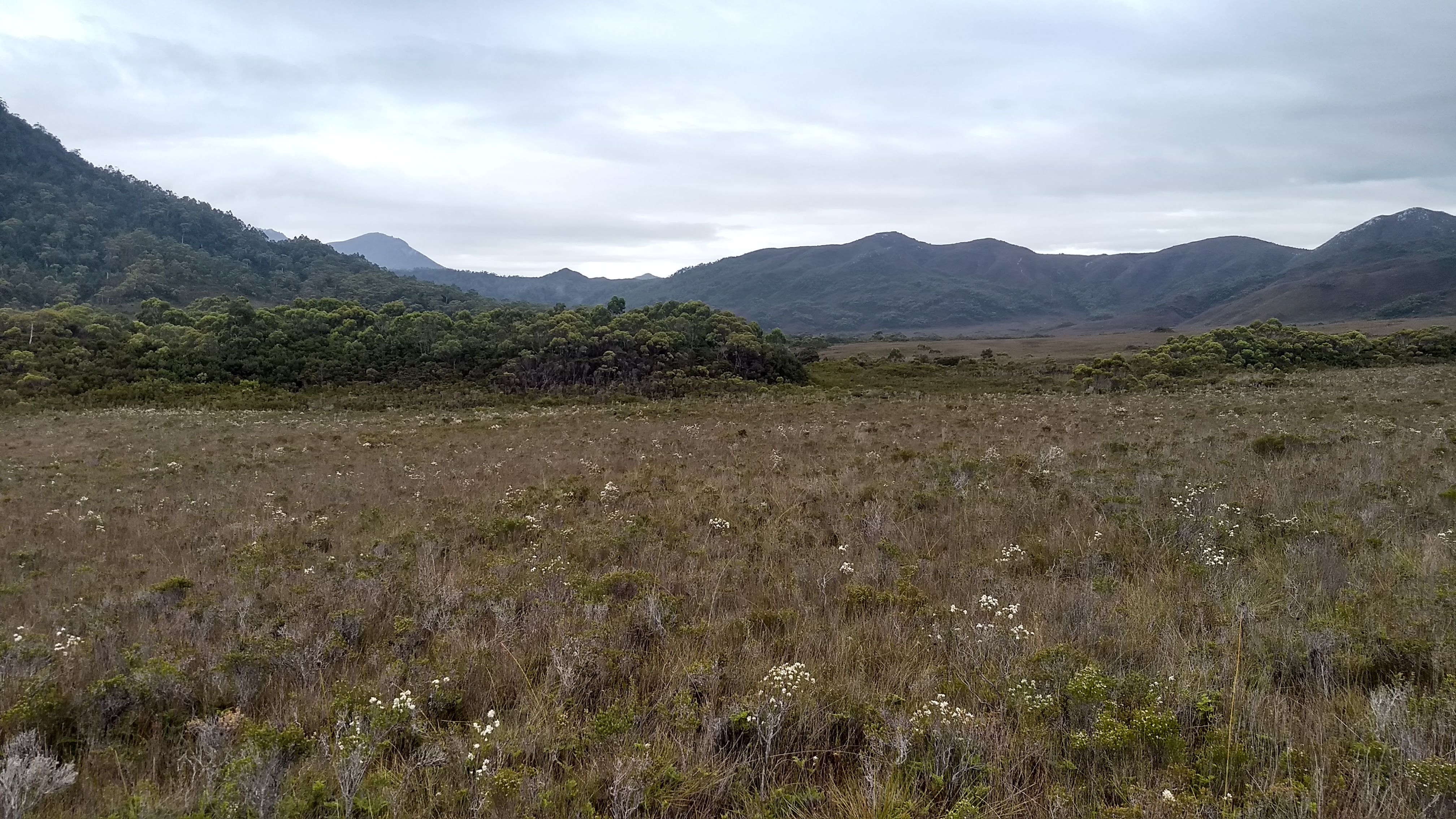
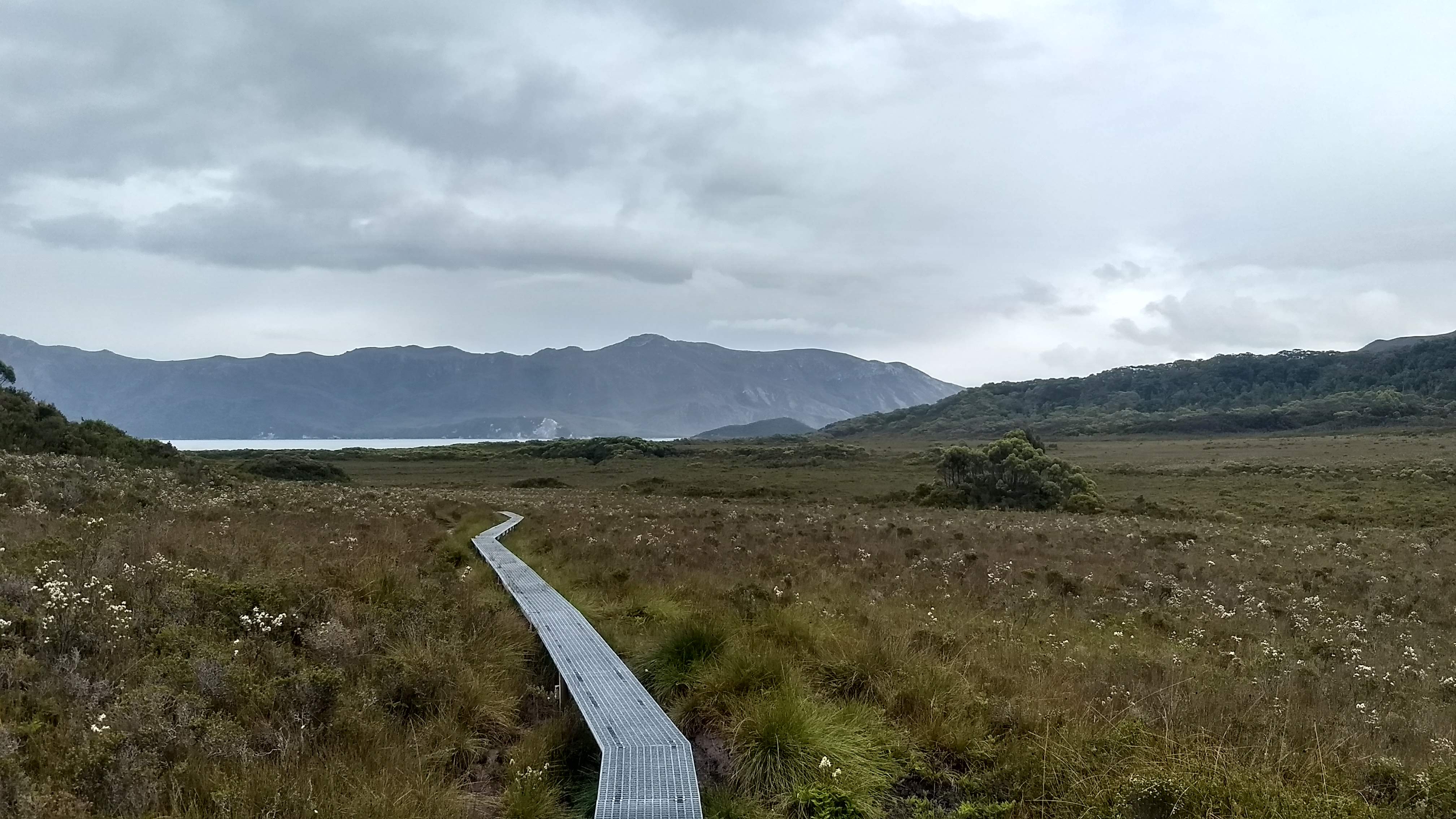
Many bladderworts (a semi-aquatic carnivorous native plant) growing out of a patch of mudA Sprengelia plant doing something strange
Today HAD to be a better day. We decided we were only walking as far as New River Lagoon to have a bit of a rest day. Much of the famous mud in the buttongrass plains at the start of this day was avoided thanks to the boardwalk, and we were soon out on Turua Beach. Turua Beach boasts some very impressive rocks that have been cut by the strong winds
Well carved rocks on Turua BeachRocks defending the shore on Turua Beach
The track quickly headed inland again, but up a short ascent through coastal forest. I quite enjoyed this section of the walk, meandering around the cliff edges through some picturesque forest and impressive views.
Menzies Bluff (I think)Some type of Persoonia, I think Persoonia gunnii
We eventually were sent back onto a beach. This time to the much more impressive Prion Beach, stretching a full 6km. Thankfully we only had to walk 4 of those kilometres, which was still rather exhausting as our feet kept sinking into the wet sand.
Looking along the extensive Prion BeachA seagull partyThe expanse of Prion Beach
The end of the beach is marked by New River, and hiding behind the beach is the huge New River Lagoon. To get across to the campsite, the lagoon must be crossed by boat (thankfully at a narrow section). The wind was very quickly picking up so, being the one with the superior rowing skills, my Dad took charge of the crossing to get it over with quickly. We arrived at camp around lunchtime and were very ready to stop walking and relax for the rest of the day. The campsite by New River Lagoon is a great, wind-sheltered spot beneath melaleuca trees, and made for a nice place to have an afternoon chill-out.
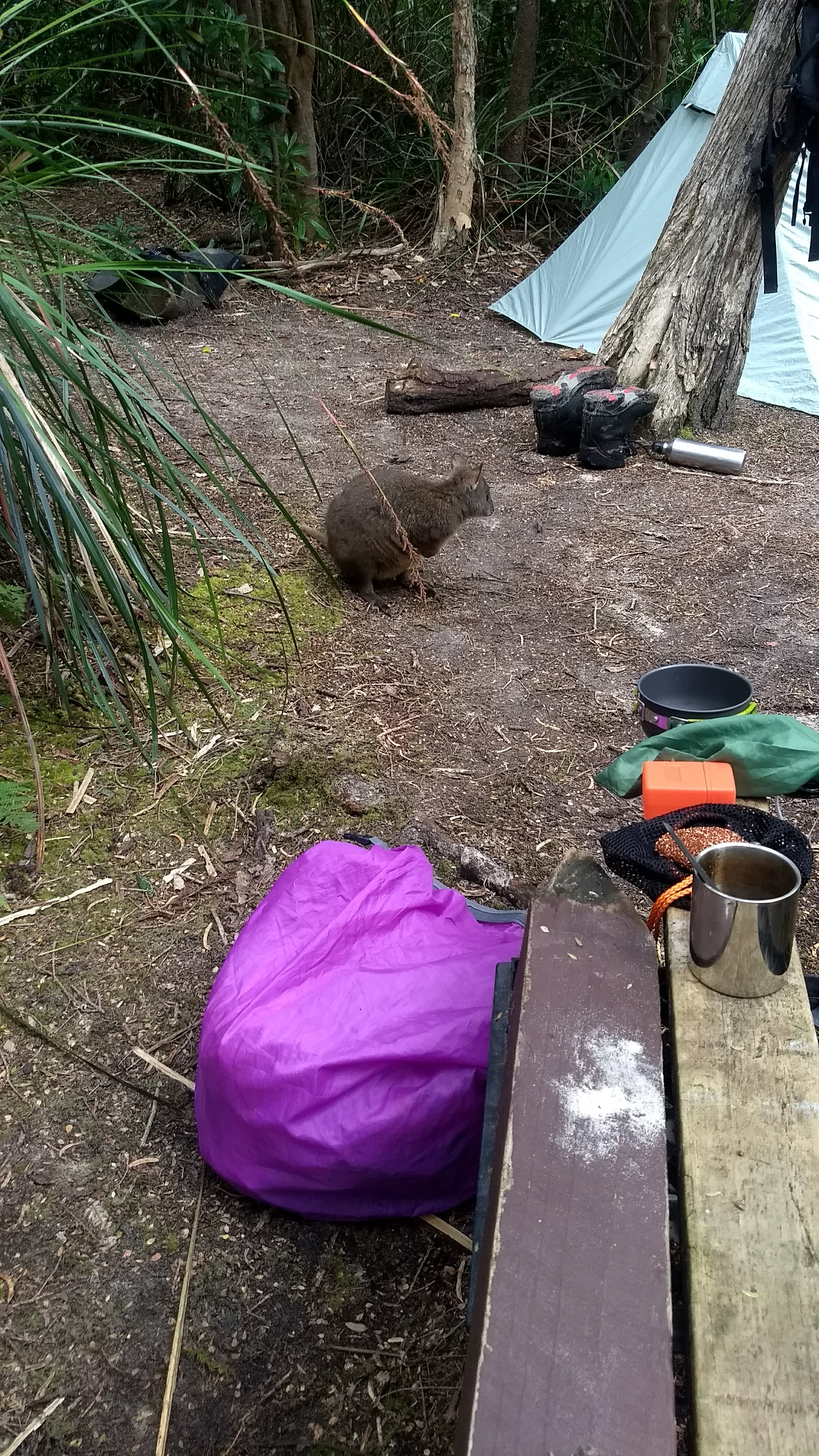
Native currant (Coprosma quadrifida)The boats used to cross New River LagoonA pademelon visiting our camp
Day 5
This day seemed to go on and on and on… Though it was likely because we had had such a short walk the day before. That said, this day was certainly the most beautiful and varied day of the whole walk. We walked through coastal vegetation, buttongrass, luscious old eucalypt/near-rainforest, along a sandy beach with impressive wind-cut rocks and the across the strange blue and grey sand of Granite Beach.
To start the day, we had to finish off the full length of Prion Beach, except by following it from up in the bush behind. Knowing that this was only 2 kilometres of walking, we felt that it was going on for far too long. Both of us being rather tall, the many fallen or overhanging branches along this section of the track were slowing us down (I whacked my head at least three times).
Prion Beach extending past the lagoonA flowering celery top pine (Phyllocladus aspleniifolius)
We happily said goodbye to Prion Beach as we ascended up into buttongross plains. Though, we were immediately smacked in the face by some serious wind (the water at Osmiridium Beach in the photo below shows how windy it was pretty well). After the turnoff to Osmiridium beach, the track also intensely ramps up the mud level. If you’ve never attempted to navigate through waist deep mud in gale force winds with zero wind cover, I can tell you it’s not particularly easy. At one point I went all the way in up above my waist (sinking into the Earth is never a nice feeling) and I just managed to scramble out grasping onto blades of buttongrass.
A choppy Osmiridium Beach
I pushed on through the wind, encouraged by the sheltered forest I could see coming up. The next section was possibly my favourite part of the walk. Unfortunately my photos can’t really do it justice, but the next section of the walk weaved through some incredible rainforest with some enormous eucalypts (like really massive). Moss covered almost every surface and blechnum ferns brushed against our legs. The track was a real mudbath, but it was made up for by the beauty of the setting.
Some of the beautiful forest after Surprise BayA huuuuge eucalyptus in the forest before Surprise Bay (I could easily pitch my tent inside that hollow for reference)
We stopped to have lunch before the track began to descend down to Surprise Bay. Heading down, I looked up towards the sky and noticed many brown balls of foam flying overhead. For a moment I couldn’t make sense of what I was seeing, but I eventually realised that this foam was being blown up over us from the beach below. We knew we had some more wind to contend with at the bottom of the bill.
The bay certainly offered up some surprises. The first was a cliff that seems to have had a perfectly sliced chunk removed, the second was that the wind had picked up even more. That horrible feeling of sand grains blowing like bullets against your skin accompanied our whole walk across the beach. Then, another surprise, the Surprise Rivulet was flowing strongly and was rather deep. Leaving us wondering how we would wade across, especially with gale force gusts.
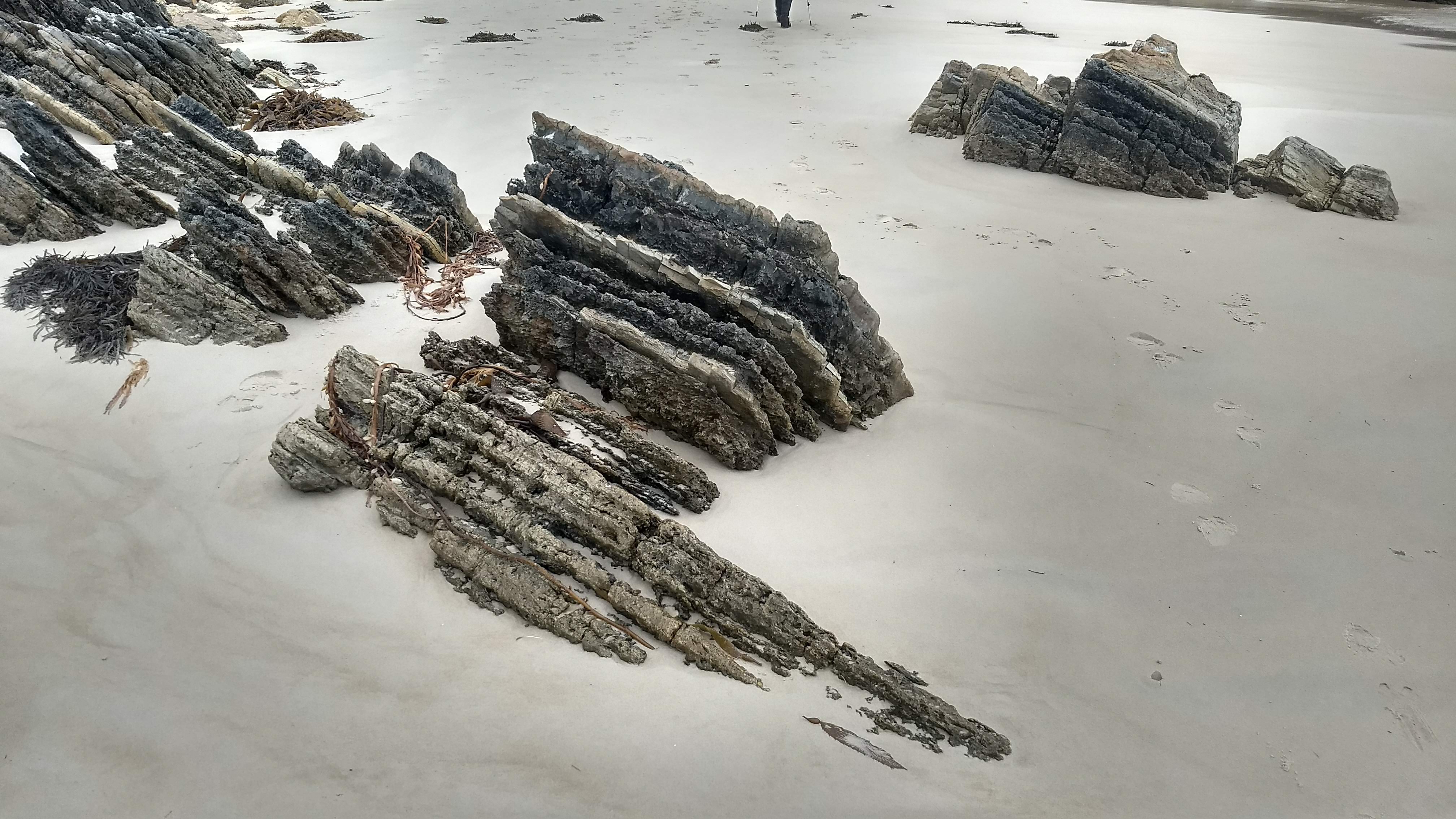
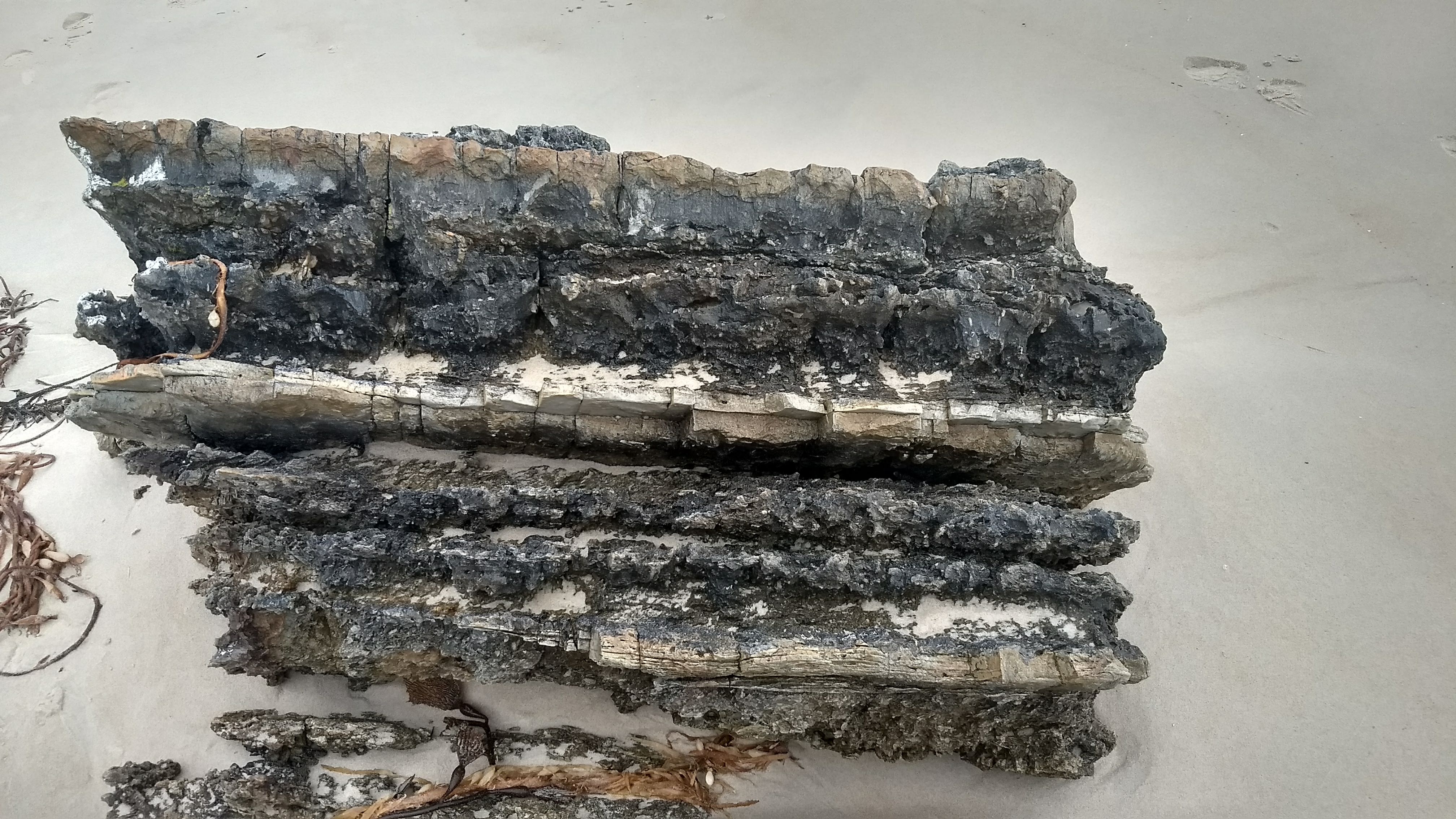
Coming out onto Surprise BayA hole in the rocks at Surprise BaySome well cut rocks on Surpise BayA closeup of the rocksA dark and gloomy Shoemaker Point, with South Cape behind.
Bracing for the wind each step, trying not to fall over and get swept away, we eventually found the most shallow path across the rivulet and put our feet back on dry sand. Almost immediately we were hit by the strongest gust I think I have ever experienced. My Dad and I were both knocked over, and Dad’s sunglasses zoomed off of his head, disappearing in an instant.
Now feeling quite vulnerable, we scrambled up the bank into the shelter of the bush. From here it was just a short and sharp climb over a hill to Granite Beach. I guess from the adrenaline of being beaten up by the wind, I was able to power over the hill, only sliding down the slippery roots on the other side a couple of times.
The steps leading down to Granite BeachThe cool colours in the sand of Granite Beach
Climbing down the rope and plank ladder to the sand, Granite Beach was quite an odd sight. This beach is a real standout with its grey and blue sand contrasting against the classical white sandy beaches scattered around the south coast. For a while the beauty of the beach distracted from the assault of the wind, but I was soon struggling again when there was no choice but to scramble on the rocks further up the beach due to the aggressive waves. Much to my delight, Granite Beach offered up another crossing at Sandstone Creek, also flowing pretty hard.
I just managed not to fall over crossing the creek and continued scrambling on. After the crossing, the only way to walk is over slippery rocks with a steep cliff face to the left, and roaring waves to the right. With worse luck, I could have easily have been slammed against these cliffs by a wave, but I was spared with only a mild drenching. The track eventually left the beach, straight up the cliff beside Granite Beach Falls; an impressive waterfall that pours over the cliff edge onto the beach.
Wild wild waves at Granite BeachLooking out over where we walked along Granite Beach
I waited for a while up the top of the cliff in the bush for my Dad, but the wind and spray eventually got too much (I think the above photos show why). Confident he would be okay as he was walking with a few others, I headed 100 metres up the track to tonight’s campsite.
Even though the camp was very sheltered under a thick melaleuca overstory, we were still ‘rained’ on all night by the sea-spray being blown up and over the cliff.
Day 6
We never expected on this morning to be sleeping in a real, warm bed by night, but somehow we walked from Granite Beach to Cockle Creek in 9 hours. I really don’t remember a lot of this day, which isn’t helped by the fact that I hardly took any pictures.
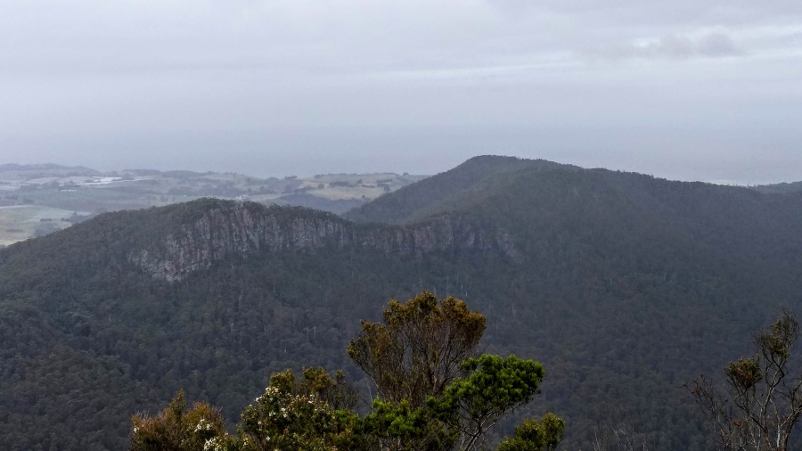
The first half of the day was occupied by the South Cape Range, a pretty tough 460m climb. The forest was again quite beautiful and sheltered, before ascending into some more open vegetation at Flat Rock Plain, where the track became a mudbath. We had the most clear weather we had had for the whole walk today, and we had some nice views out to the Southern Ranges.
Looking out at the Southern RangesAn example of the sort of mud we were walking through
We slowly descended down the other side of the range, through much mud and nice mossy forest. An unexpected buttongrass plain met us halfway down the range, from which we saw our first sign of being close to civilisation again: A clearfelled logging coupe off in the distance.
The last photo I took for the trip. From here on we just wanted to get out.
Beyond the plains was a long, undulating, muddy, and slippery track that I don’t have great memory of. The next moment I remember clearly was stepping out onto the sand at South Cape Rivulet. The rivulet flows from a lagoon behind the beach, over the sand and into the ocean, and the water level fluctuates with the incoming waves.
From the rapidly changing water level of the rivulet I knew that crossing it would be trouble. I waited around for my Dad to catch up, and a few others from another group showed up too. We all discussed for a while how we would get across, and waited for a low water level. Two guys from the other group went ahead first, then me, and then my Dad. The first three of us succesfully got across. But, as soon as I had gotten both of my feet out of the rivulet, I remember looking down at my feet as I heard somebody yell “watch out!”
Before I could even react, water rapidly shot across under me, submerging my ankles and tipping me over. I hadn’t even registered what had happened by the time I was being very quickly washed, face down, up the rivulet. The water must have only been about half a metre deep, as I was scraping my hands and feet on the sand beneath me as I was being washed away. Attempting to keep my head out of the water, I tried desperately to get a hold of something, or dig my feet into the ground, but the force of the water was far too great to gain any stability.
I have no idea how long I was in the water for before I felt something pulling me up. I managed to ground my feet and was dragged up onto the sand, by the same guy who had helped me across the roaring creek 3 days earlier!
I managed to stand and looked over to see my Dad being dragged up onto the sand as well, he had cleverly flipped over and was floating on his back, with his pack fully submerged in the water.
I didn’t see it at all, but supposedly a massive wave came in just as I had finished crossing the rivulet, and had washed us up the rivulet all the way up the beach. The force of the wave was so strong that it had pushed sand all the way up the sleeves of my thermal top, extending to my shoulders. The inside of every layer of clothing I had on was coated with sand. My Dad, floating on his pack, had large amounts of sand force through the zipped closed pockets of his pack.
After thanking the people who had saved us. My Dad and I, dripping wet, cold and exhausted, agreed almost instantly that we wouldn’t be camping tonight, we just wanted to be out.
So we walked, without stopping, all the way back to Cockle Creek, slowly drying out and warming up. Thankfully my good friend Ben who we had asked to pick us up was coming down to Cockle Creek a day early to camp the night, so we had a ride waiting for us.
What happened during this walk has left quite an impact on me, and I think I am still resolving my thoughts about some of the experiences I had in these 6 days. My hypothermic episode and being washed up South Cape Rivulet has made me wonder about what could have happened were I on my own. I think I now have a greater understanding of the risks of bushwalking, particularly walking solo.
I can only hope that writing this blog post will help my process the experience. I hope you have gotten some enjoyment from reading it, and that I haven’t put you off walking this magnificent track for yourself.
The Dial range is a low altitude mountain range just south of Penguin, contained in a collection of reserves. The area is a popular spot for hiking and mountain biking, and offers an impressive escape to nature from the surrounding towns and farmland. Much of the forest is managed by ‘Sustainable’ Timbers Tasmania, and is threatened by clearfell logging (with a section set to be logged in 2022). I have visited the coupe set to be logged at an earlier date, before I had ever walked the many tracks in the area, and had made a mental note to be return to the Dial range as soon as possible to explore further.
The road we followed into coupe DL011C
Devil scat in coupe DL011C
Tall eucalypts in coupe DL011C
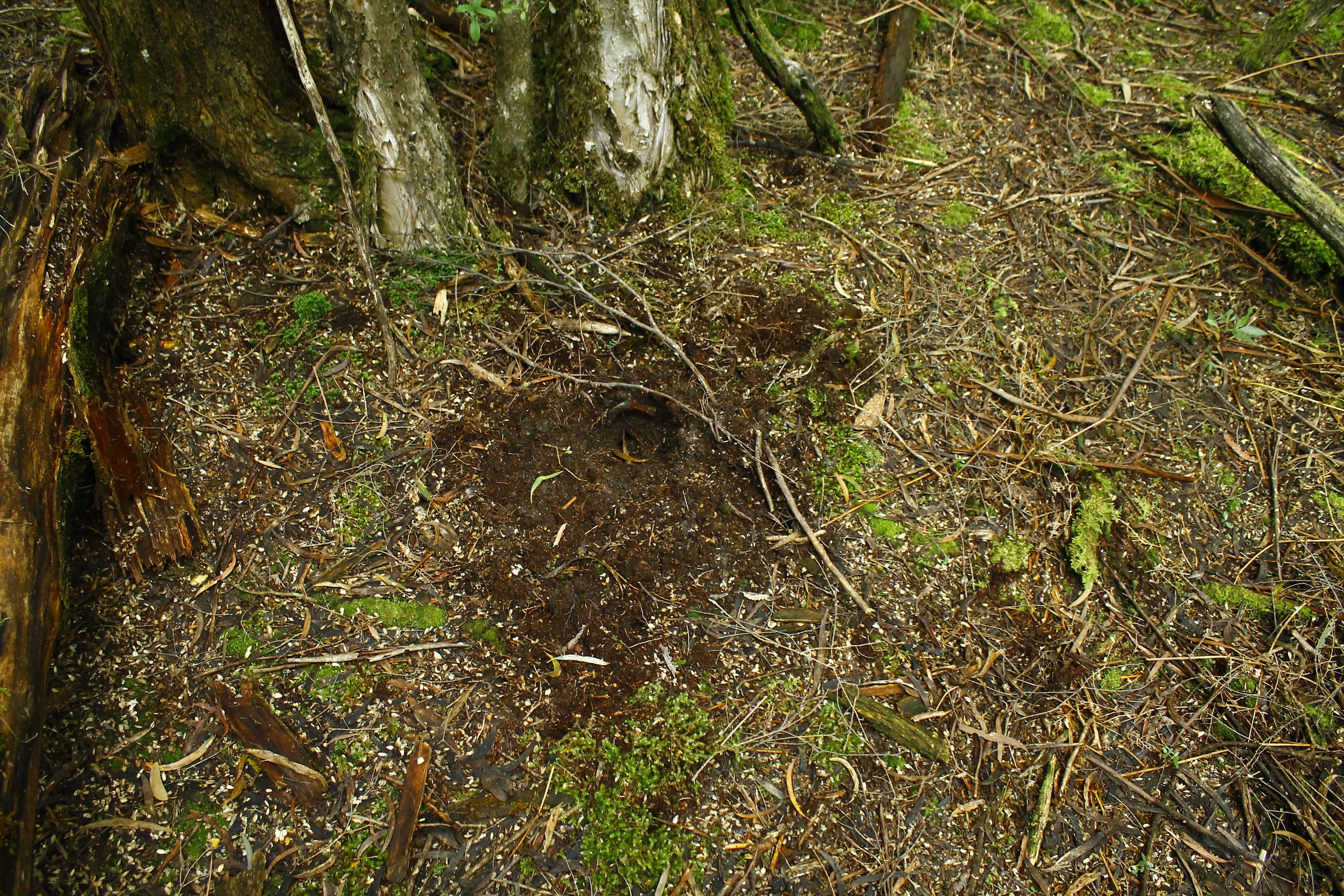
Evidence of a bettong digging for fungi in coupe DL011C
The Dial range consists of 6 peaks, Mt Montgomery, Mt Dial, The Gnomon (or Mt Gnomon), Mt Riana, Mt Duncan and Mt Lorymer, extending from Penguin down south. Tackling them all in a single day would be a real challenge, so I opted to only climb the two most impressive peaks. The Gnomon has an extensive curved cliff-face and Mt Duncan is the highest altitude peak in the range.
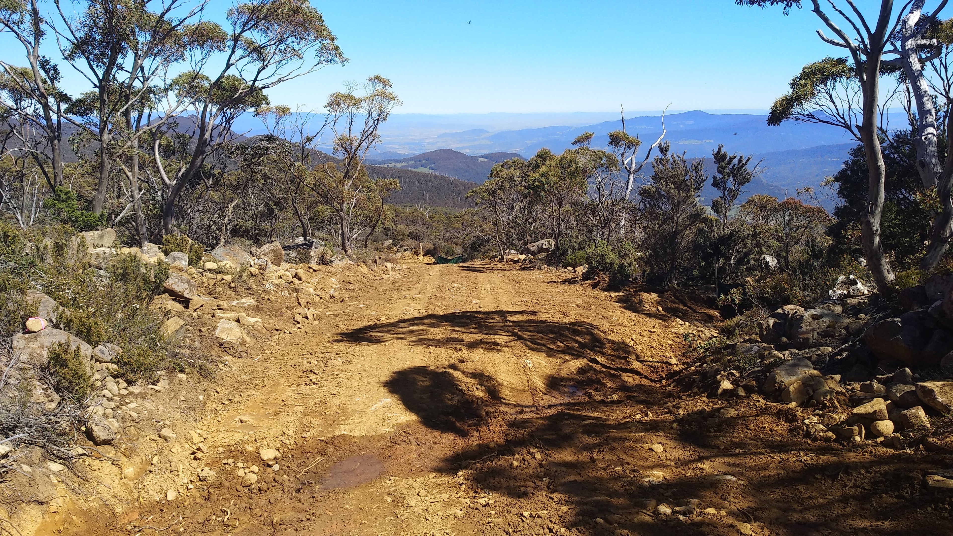
I had camped Christmas night at Pioneer Park in Riana, and drove up to Penguin before heading back down Ironcliffe Road and onto Hales Road (still marked as Ironcliffe Road on LISTmap). If you have a 4WD you can decrease the time of this journey significantly by driving up Cookes Road, just near Pioneer Park, reaching the carpark in about a third of the time. Unfortunately, this road is seriously not accessible for 2 wheel drive vehicles. I left on foot from the Mt Dial Track carpark in un-summery dreary weather, heading up the Mt Dial track to summit The Gnomon first. The track is rather unforgiving, being intensely steep right from the first step.
A (flatter) section of The Gnomon Track (Mt Dial Track)
Tall eucalypts from The Gnomon Track (Mt Dial Track)
The forest along this section is quite open with some impressive eucalypts and grass triggerplants (stylidium graminifolium) dotted along the side of the track. I reached the summit in under 30 minutes and had a quick break to absorb the view out to Mt Duncan, Mt Riana, and the farmland down below.
Mt Duncan with Mt Lorymer in the distance, from the top of The Gnomon
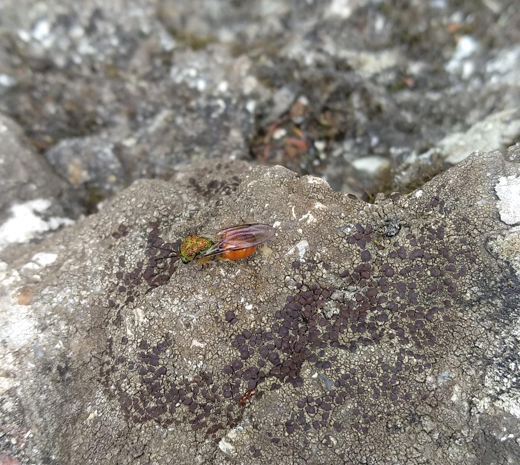
Some type of wasp/sawfly on the summit of The Gnomon. An ID for this would be greatly appreciated.
I expected to be alone for the day due to the weather, but coming back down I ran into 3 other groups climbing up. Halfway down I turned onto the aptly named Tall Trees Track that would connect to the Mt Duncan Track. Along this track, after passing under the intimidating cliffs of The Gnomon, I entered into an unexpected rainforest. Indeed there are many tall trees in here, though not just eucalypts. There are many impressive myrtles (nothofagus cunninghamii) scattered along the track, and possibly the biggest sassafras trees (atherosperma moschatum) I have ever seen.
Giant rock on the Tall Trees Track
Looking up at The Gnomon through the trees from the Tall Trees Track
The Tall Trees Track
Very large tree ferns along the Tall Trees Track
The forest only became more beautiful as I continued along the undulating track, crossing many creeks. I stopped at a few points to admire the plants and watch for some birds. At one point I was watching a pair of thornbills jumping around in a tree, before a pair of scrubtits came to join them. This being the first time I have spotted a scrubtit I didn’t think I could get any luckier, but a male golden whistler soon landed in the tree as well. If you’ve never seen a golden whistler before, these birds are a spectacular (almost unbelievable) golden colour, and have a serene whistling song.
Not long after watching these birds I came out onto Dial Creek Road, and crossed over to the Mt Duncan Track. Much like the climb to The Gnomon, the Mt Duncan Track is immensely steep. Although, it passes through even more beautiful forest, especially close to the summit. Mt Duncan seems to have some sort of rainforest microbiome at its peak, with the forest floor covered by blechnum ferns and the surrounding forest much more wet than it was further down. From the summit I could take in the full scale of the cliffs of The Gnomon, and see all the way out to the coast at Penguin despite the cloudy weather.
The Gnomon cliffs from Mt Duncan.
View out to the east from the top of Mt Duncan
View out to the west from the top of Mt Duncan
The wind was blowing heavily at the peak so I didn’t stick around too long. I walked/slid back down the track, veering off to another track halfway down that would connect me back up to Hales Road. Once out on the road, I passed some people in 4WD’s and followed the road all the way back to my car. Here I made the assessment that my car definitely couldn’t have made it any further than where it was parked, though two 2WD’s tried while I was here, and both made a quick return.
The Dial Range is a fantastic area for both biodiversity and human recreation, especially in an area with so much cleared land. I am sure that the future clearfell logging in the Dial Range is not well known, and I am sure it would be upsetting for many to hear that this important reserve and its wild inhabitants are under threat.
One of the wonderful things about walking on the West Coast is the vast expanse of wilderness and the many secret, often overgrown, tracks that are spread through it. However, it takes a lot of research and exploring to find some of these, and sometimes you just need a real track to walk on. Staying in Strahan, Mt Zeehan was my target for the day as it is the only track coming off Henty Road that is actually advertised as a walk. I have many plans for the other mysterious overgrown tracks coming off the road, and this trip was partially to investigate the entry to some of them along the drive.
The track to Mt Zeehan is incredibly easy to miss, as there isn’t even a remnant of signage and the old mining road you have to turn into isn’t visible until you’ve driven past it. There is a small 2WD-accessible area to park before the rough road heads up to the site of the old Oceana mine. Beyond here is a tangled mess of gravel roads, with no clear way to head. However, you’ll soon know if you’ve gone in the wrong direction if you meet a dead end, or end up at some buildings. Once the maze of roads is passed, the track turns into an eroded 4WD track up a section of (perhaps recently) burned vegetation. Mt Zeehan doesn’t seem like the most impressive mountain from the road, but this was an intensely steep climb, beginning almost as soon as I hit the old 4WD track.
Mt Zeehan (to the right) and its children
Looking across Henty road at the Austral mine
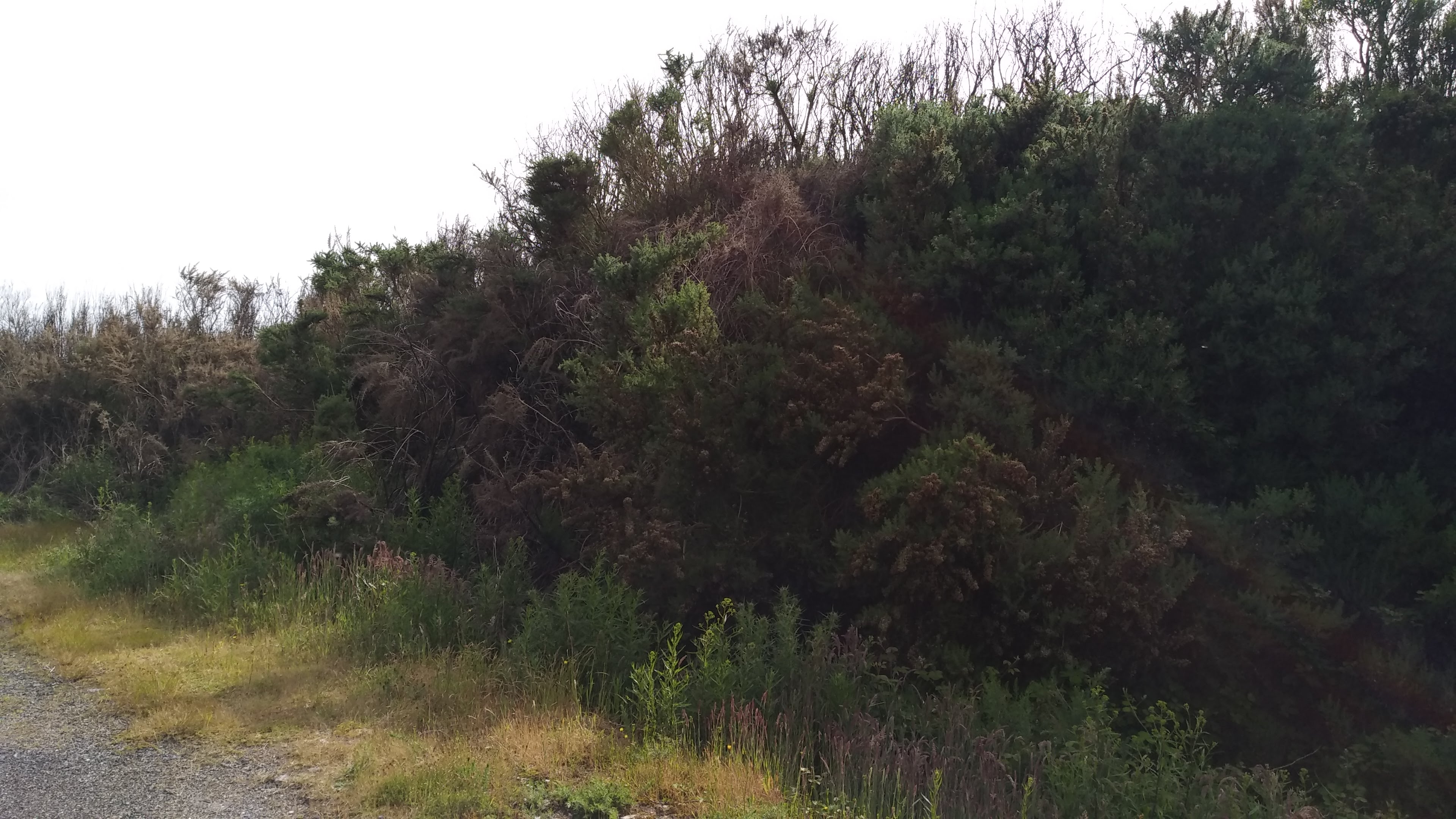
A gorse wall
Eventually I reached a small saddle, where the 4WD track petered out to become non-vehicular and the scrub closed in. From near the top of this saddle I heard some strong flowing water down Pyramid Creek in the valley. Given the steep gradient, it’s possible there is a small waterfall, or at least some cascades, worth checking out down there. I was quite lucky with weather, and the view from the saddle was already impressive
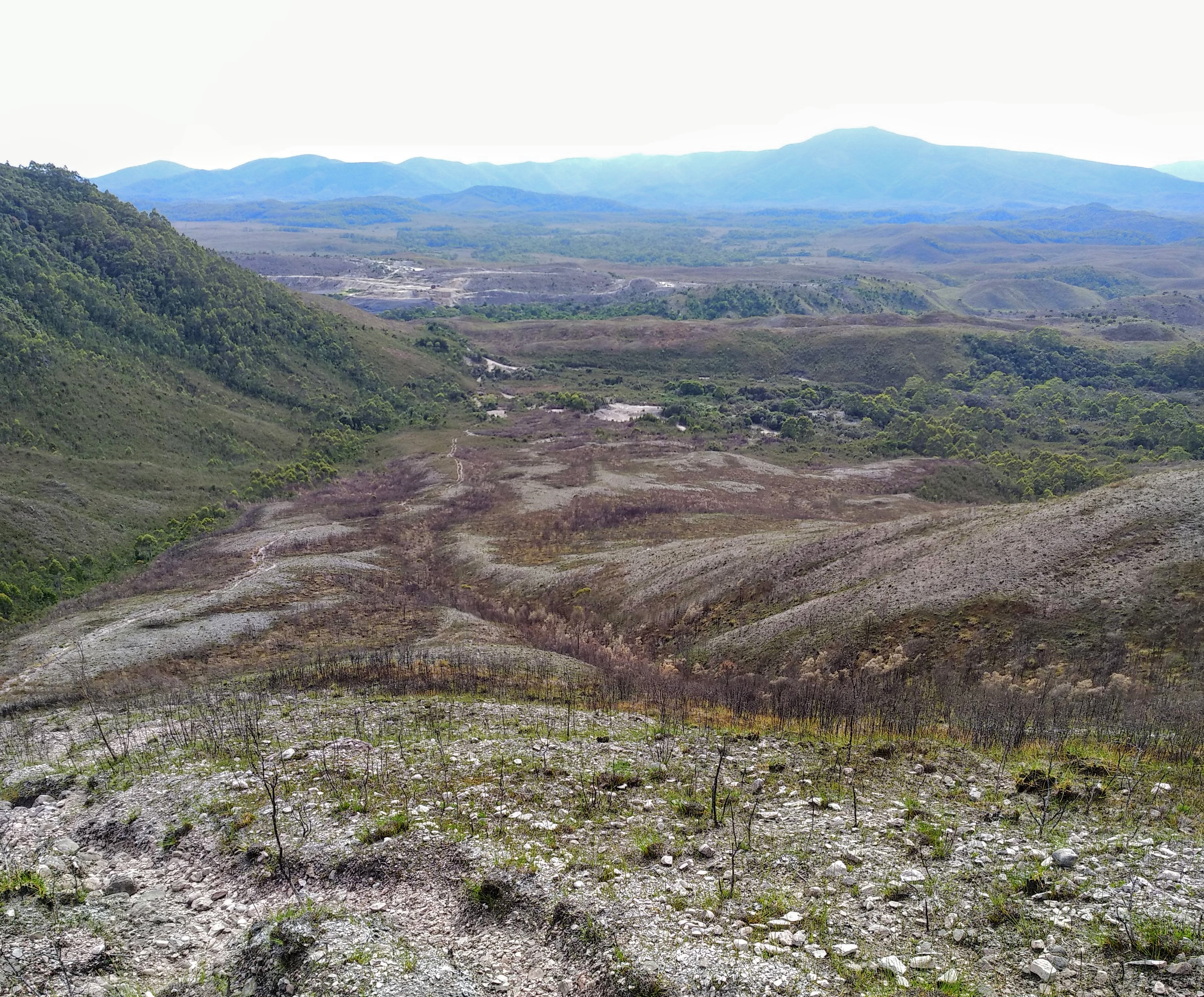
The view from halfway up the saddle, looking out over the burnt area and Mt Dundas in the background
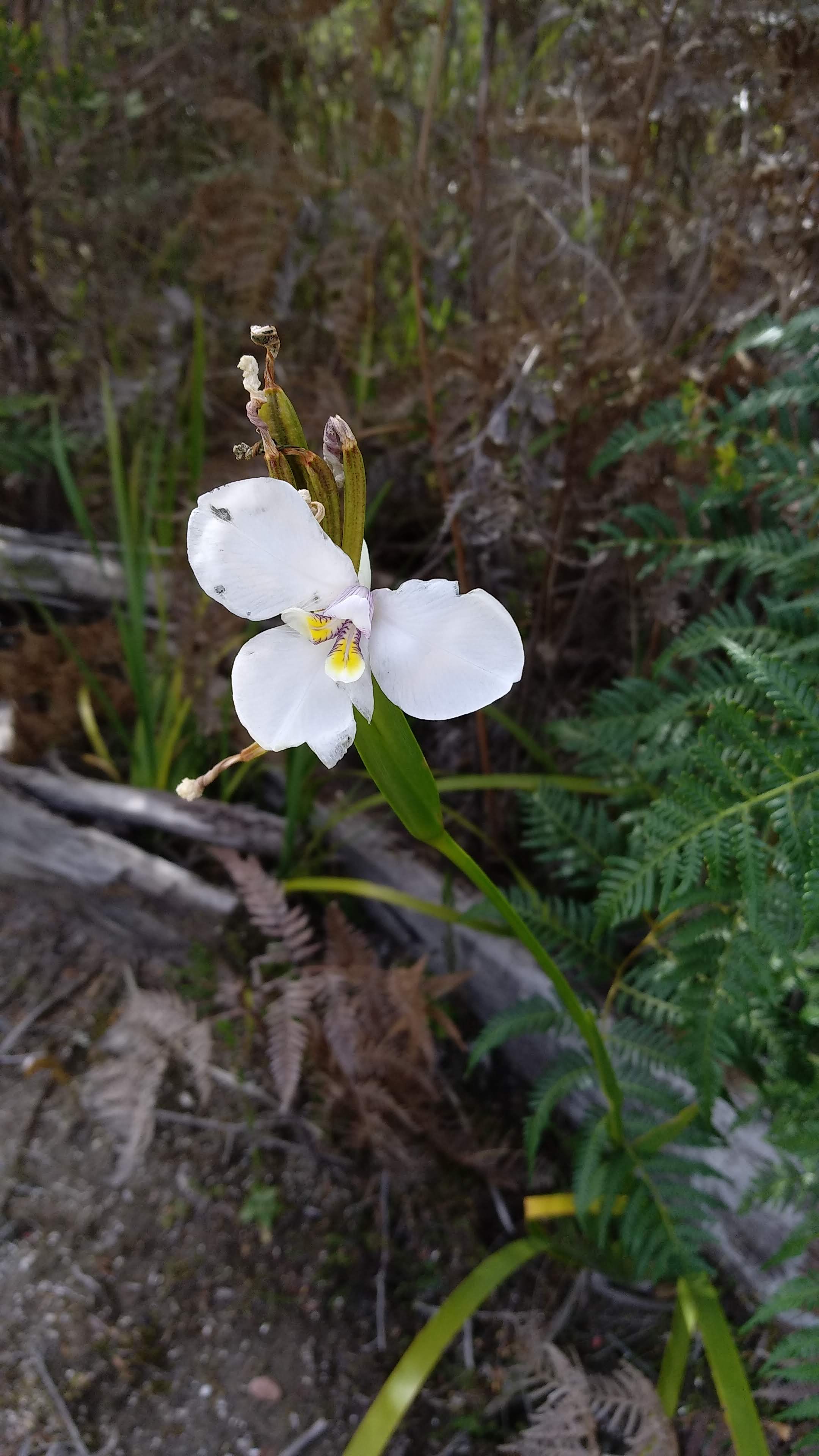
White flag-iris (diplarrena moraea)
The Mt Zeehan track could certainly benefit from some trackwork as the scrub from this point onwards was rather thick. At this point in time though, the scrub can be pushed through and the track can still be followed. I dealt with the steepness in short bursts, stopping every 10 to 15 minutes to catch my breath, look for birds, and gaze out at the only improving view. During one break, I spotted a striated fieldwren (the first time I’ve seen one!).
After more of the same steepness and scrub, I eventually reached the summit and appreciated the old gate placed across the trig-point base that I had a (rather uncomfortable) nap on. I got back up again and admired the clear 360 views. Most amazing was being able to see the Professor Plateau from above, it’s daunting steep slopes follow the Henty Road, and lead up to what seems like a perfectly flat plain. I could also see out to Mt Agnew and Trial Harbour to the North-West and Henty Dunes to the South. I got my binoculars out and spotted some landmarks of the town of Zeehan, such as the United petrol station and gorse.
Mt Agnew
Looking down on Zeehan
The view out to Ocean Beach and Henty Dunes
As I was eating lunch on the summit, a family of 4 wedge-tailed eagles started gliding over the mountain. It was an incredible sight, and I am always grateful to witness such beautiful birds.
An awful photo of two of the wedge-tailed eagles
Before heading back down I went to investigate the (telephone?) tower and spotted many flowering blandfordias. They seem to do quite well up here despite the windy and exposed environment.
Tasmanian Christmas Bells (blandfordia puicea)
The (telephone?) tower on the summit
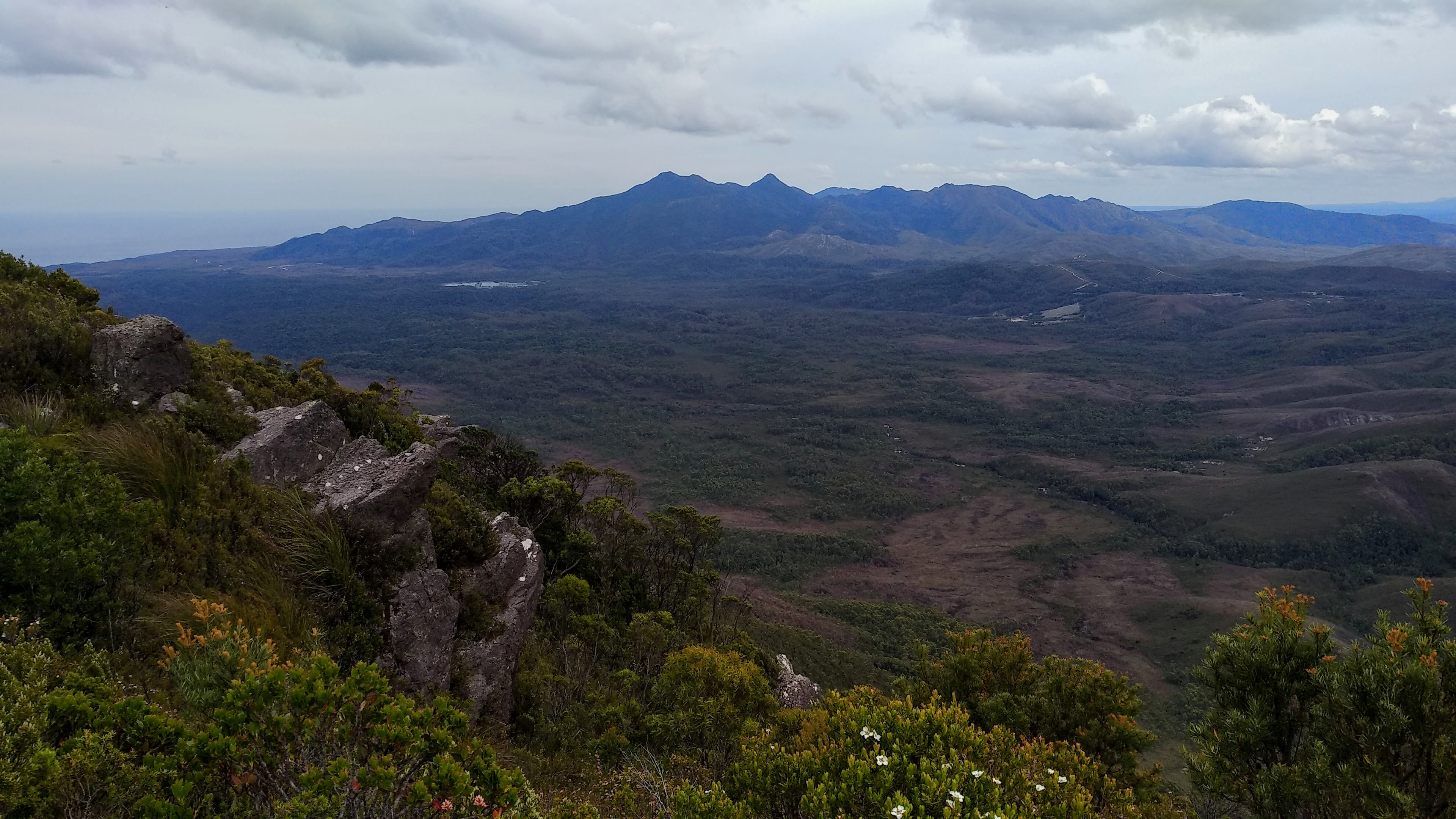
The view out to the West Coast Range and the Professor Plateau
A cicada of genus Gelidea
The walk down was significantly more pleasant, and only took about 40 minutes, compared to the hour and a half it took to get up. Mt Zeehan is a great short day walk, provided it is a clear day and you are willing to face an unforgiving climb.
The next morning I was inspired to follow a road I had spotted on the way back to Strahan which heads out to the Strahan radiata pine plantations. Sandwiched in between the pine plantation and the Henty River is a 96 hectare section of native forest set to be logged in the near future (coupe YD018A) and I wanted to check it out (being some of the only non-pine forest in the area).
I followed Rayner Road on foot through some Pine Plantation, to the Tully River conservation area. The Tully River is a particularly beautiful spot, especially given its setting surrounded by radiata pine. The river itself is deeply brown from tanin, and has a sandy shoreline along its banks.
Radiata Pines on Rayner Road
The Tully River
The Tully River
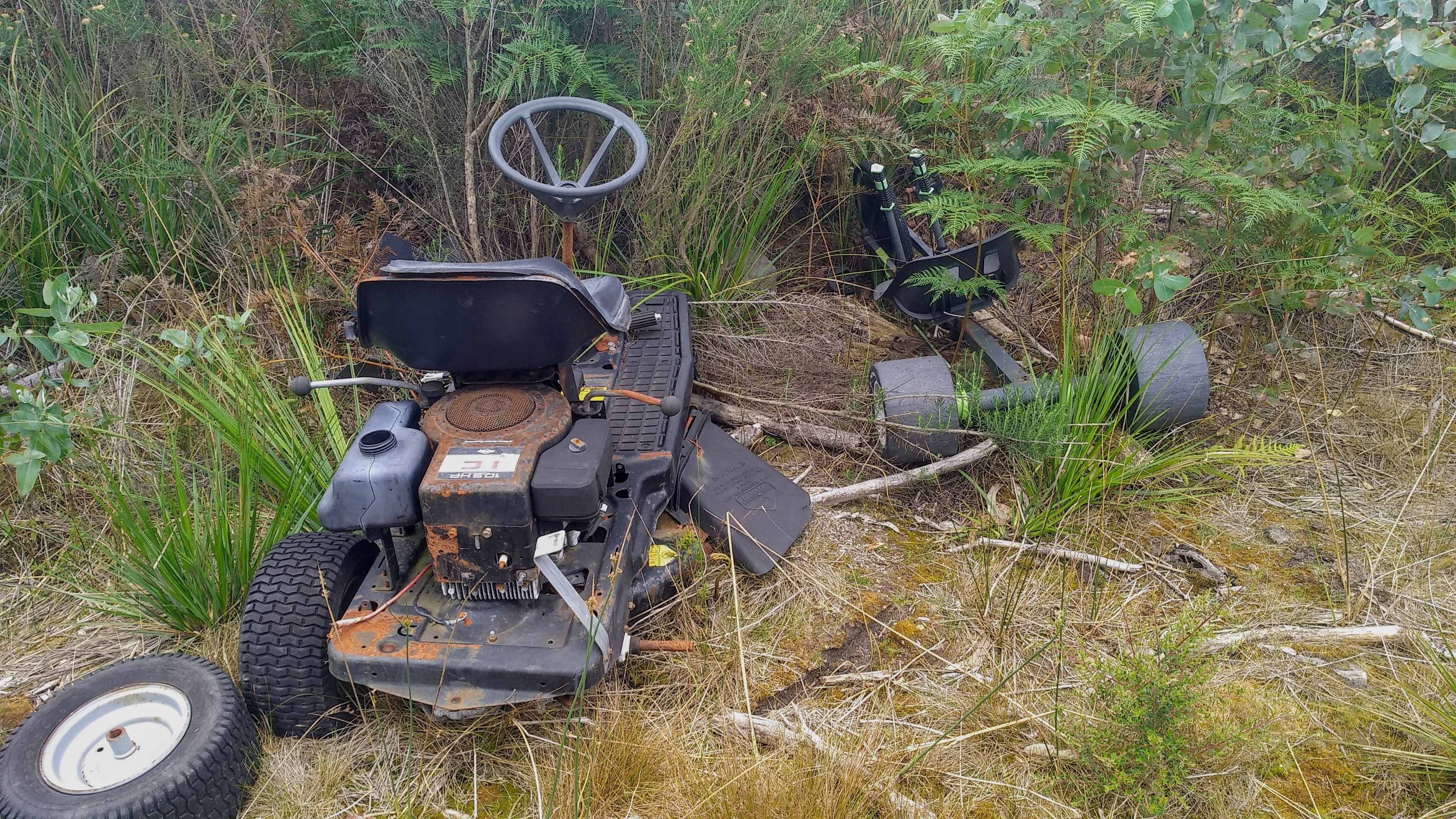
A road just to the left after the bridge heads straight up into the coupe, but first I walked up the hill along Zepilin road, through the recently logged section of plantation. Here I found a fairly large stand of blue gums, an old ride-on lawnmower, a green machine and a decent spot to lookout on the northern part of the coupe. After listening to the call of olive whistlers echoing down through the logged area, I headed back down to the Tully river and up the road to the coupe.
Some young blue gums on the edge of the logged plantation
Logged plantation
An old ride-on and a green machine
A view out to the north of the coupe from the logged plantation
From here I found a wet section of forest, containing many myrtles and tree ferns before it opened up a bit further north into melaleucas and eucalypts. The track which skirts the edge of the coupe eventually got too overgrown and I headed back. This is quite a nice area, particularly along the Tully River, where much more exploring could be done. Although, care must be taken as this area borders on private property.
The western border of the coupe
The western border of the coupe
A fungus yet to be identified
The western border of the coupe
The western border of the coupe
Southern border of the coupe
The southern border of the the coupe. Looking up from the regrowth.
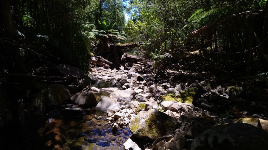
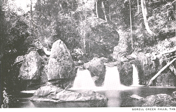
I have long been intrigued by the supposed waterfall on Sorell Creek in Wellington Park, marked as unconfirmed and named ‘Sorell Falls’ on the World Waterfall Database. Searching this name I hadn’t been able to find any information about the falls for some time, until I had the idea that people perhaps call this waterfall ‘Sorell Creek Falls’. This led to more success, turning up a couple of historic photos of the falls and an old map (which places the falls further upstream than the World Waterfall Database), but no evidence that this waterfall has been visited in the last 100 or so years. It is perfectly understandable that this waterfall hasn’t had any recent visitors, as it doesn’t appear to be particularly large, and requires a decent scramble up or down the creek from the nearest track to reach it. Even more recently, walking to the waterfall has become intensely difficult, requiring an awful scrub-bash along the closed and overgrown Myrtle Forest Trail before the creek is even reached. I’ve always known that trying to find this waterfall wouldn’t be a particularly fun walk, but given that I had no plans for the day, and I was running out of new walks to do in the park, I decided to go for it.
A historic photo of Sorell Creek Falls from Libraries Tas (date unknown)
I started walking at about 9:30am, immediately being confronted by many signs telling me that the Big Bend Trail, the only route from Pinnacle Road to the old Myrtle Forest Trail that doesn’t involve a mountain ascent, was closed for track work. So, officially, I did not walk along the closed fire trail, and I will leave it to the reader to decide how I arrived at the entrance to the Myrtle Forest Trail. The Myrtle Forest Trail has been closed to all walkers since 2015, and closed indefinitely since 2019. As this track used to be a fire trail, I figured the overgrowth wasn’t going to be too bad, but seriously, this track is closed for a reason!
View from near the carpark. A great day for a walk!
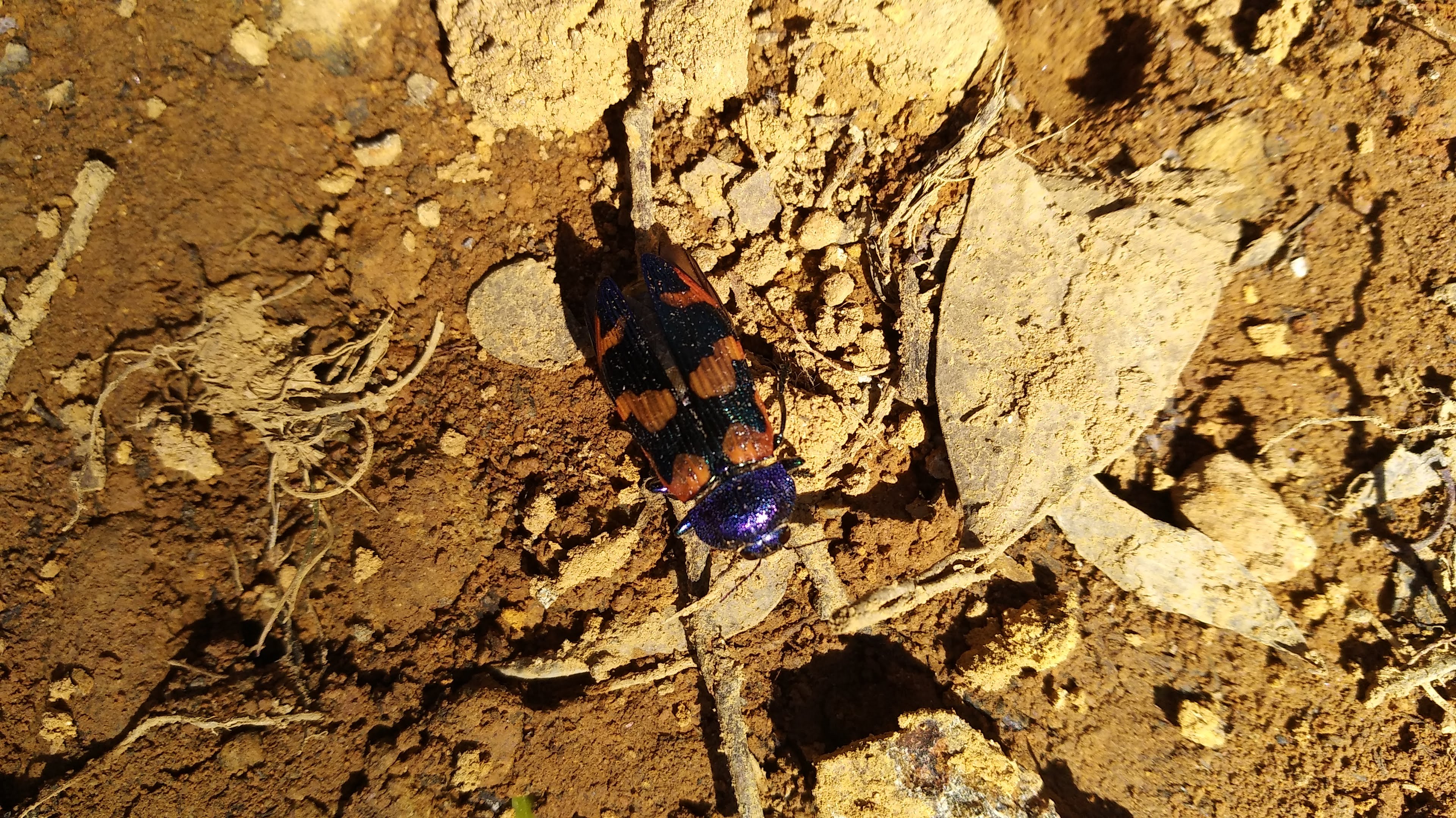
A jewel beetle on the track to Myrtle Forest Trail start (castiarina insularis)
Originally still having some resemblance of its fire trail past, the track soon descends into an enveloping cloud of cutting grass and beaura scrub. I was certainly the first to walk this track in some time, as there was no real evidence of a pad, nor any footsteps in the many sections of mud. The surrounding bush was delightfully serene and filled with wildlife, which somewhat made up for the poor walking conditions. I stopped at a relatively clear section to watch a ringtail possum (awake at midday), an olive whistler, and a pair of strong-billed honeyeaters ripping into the tree bark. Not long after this I reached a tributary to Sorell Creek, which now seems to have been diverted to run along the track, cutting a small gorge. At a few points the pools of water in the gorge got too deep and I had to scramble out, before jumping back in again when the scrub got too thick. Thankfully it was only about 1km to the creek, but the bash through the scrub through to the creek still took an hour.
A relatively cutting grass free section of Myrtle Forest Trail
One of the more road like sections of Myrtle Forest Trail
The track…
Sorell Creek is actually quite wide and is skirted by tree ferns and ancient fallen eucalypts, making for quite a beautiful setting. Being incredibly exhausted and not even half done with walking for the day, I decided while eating lunch that I wouldn’t be searching too far down the creek for the falls. I am glad that I had a bit of a scramble down the creek however, as I found some small cascades, some huge fallen trees and even a half-decent waterfall. I am quite confident the fall I found wasn’t Sorell Creek Falls, due to the lack of enormous boulder perched above, but I couldn’t push myself any further knowing I had to go back through that scrub.
Looking down Sorell Creek after just coming off the Myrtle Forest Trail
A small cascade on Sorell Creek
A cascade created by a log on Sorell Creek
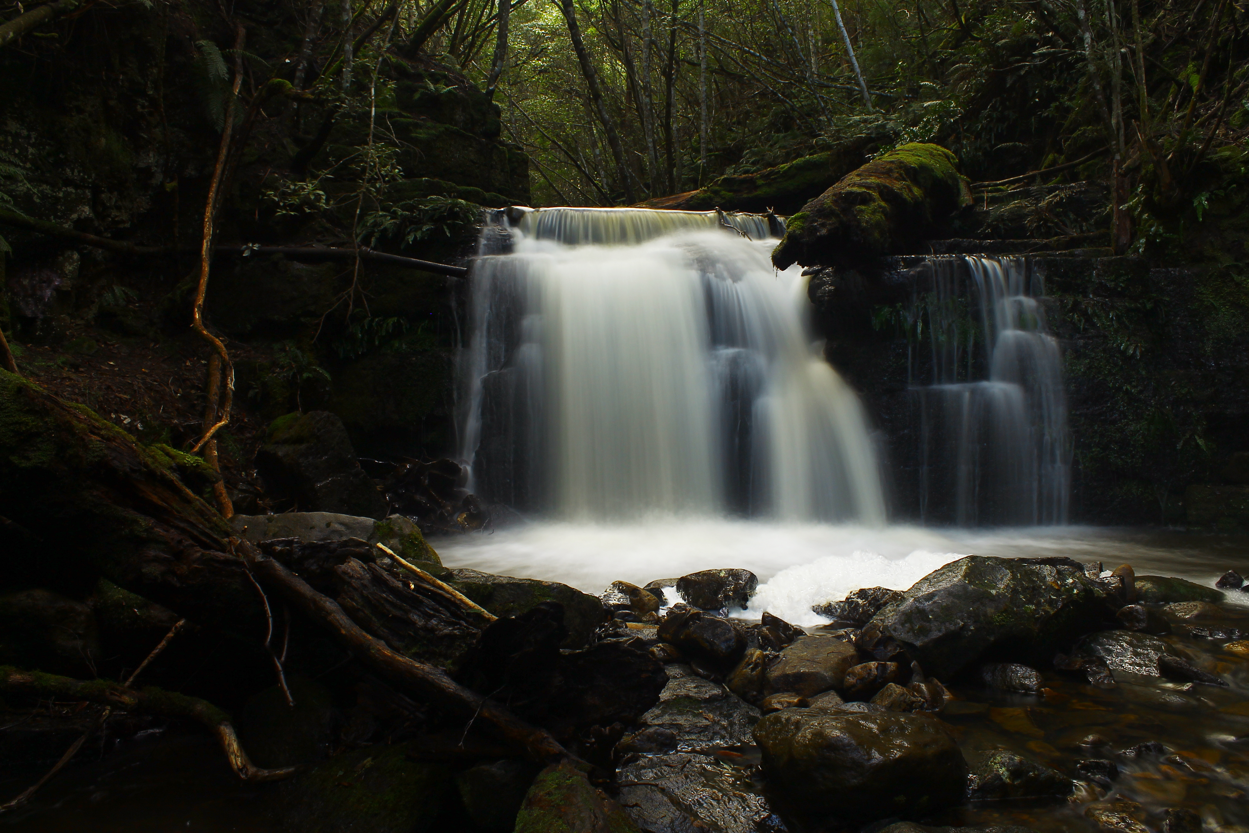
The small waterfall I found on Sorell Creek
The small waterfall I found on Sorell Creek
Sorell Creek Falls remains a mystery for now, but I hope that somebody up for the challenge is inspired by my journey and hunts down Sorell Creek Falls for themselves. If you find it, I would love to see a photo!
This week Harriet and I were supposed to be meeting between Strahan and Hobart to walk the Frenchmans cap track, after the shining quartzite rock called to us from the top of the Raglan Range. All week we had been waiting for the forecast 30mm of rain on the 7th to change, but it only got worse. Still determined to do a 4 day walk, we started assesing the weather all over the state, and naturally the east coast was the only part of Tasmania that wasn’t being blasted by rain.
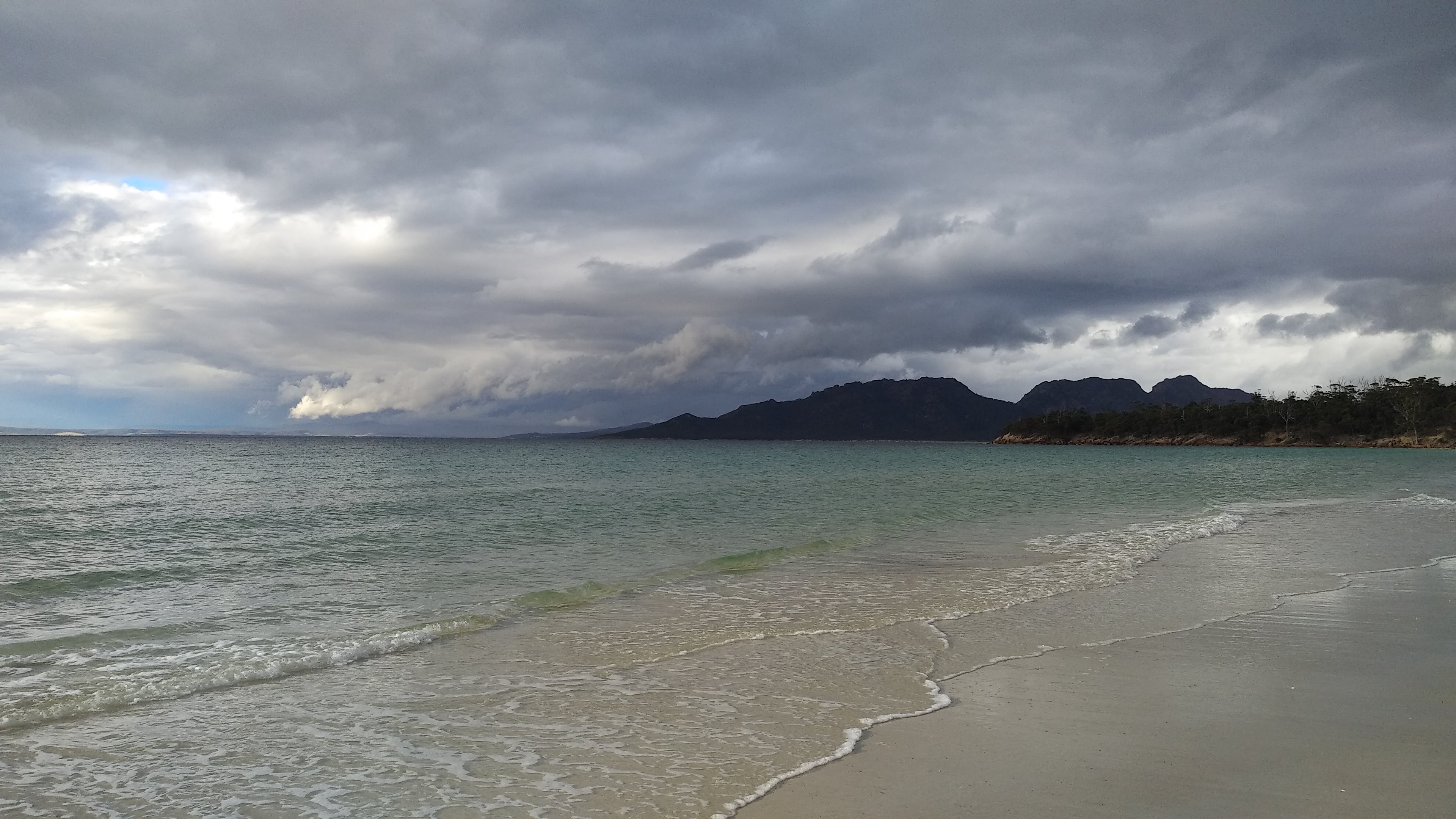
The Freycinet peninsula is an intriguing place, with a shockingly dark European history, that the majority of tourists, and even many Tasmanians are not aware of. Freycinet also continues the trend of naming environmental features after people who have performed acts which would today be deemed unacceptable by those who explore the peninsula. The Hazard’s Range and Beach for example are named after Richard Hazard who, in the early 1800’s, was a whaler in the area. The whaling in the Freycinet peninsula apparently led to the white sand of Wineglass Bay being stained red with blood. Europeans also had little respect for the indigenous people of the peninsula, and much of the indigenous history is lost. Though culturally significant sites still exist and are now protected in the national park, including middens and stone artefacts.
We have both done the Freycinet circuit before, and have walked to Cook’s Beach many times, but neither of us had gone the extra hour to Bryan’s Beach, and I had never climbed Mt Freycinet. With these addons, we figured we could turn the standard 3 day loop walk into a 4 day trip. Harriet drove to Hobart Sunday night and we left Hobart the next morning at around 9am, after a bit of a sleep in. On the drive we pondered the current popularity of Freycinet, as the Tasmanian borders had just recently been reopened to all other states and territories. We were delighted to find that we could still find a spot in the main carpark, but the Wineglass Bay walk was certainly more popular than when we visited while the borders were still closed.
We set off towards Hazard’s Beach, hoping my car battery could hold its charge this week. This section of the walk was rather relaxing and incredibly scenic, especially with the perfectly clear weather polar opposite to what was currently happening out at Frenchmans… The ocean water was a serene vibrant blue and we had an unobstructed view out to Coles Bay and Swansea. After passing through the near-monoculture of sheoak (one of my favourite parts of the walk), and stopping to pull out a weed that must have snuck in on somebody’s shoe, we stepped out on to Hazard’s.
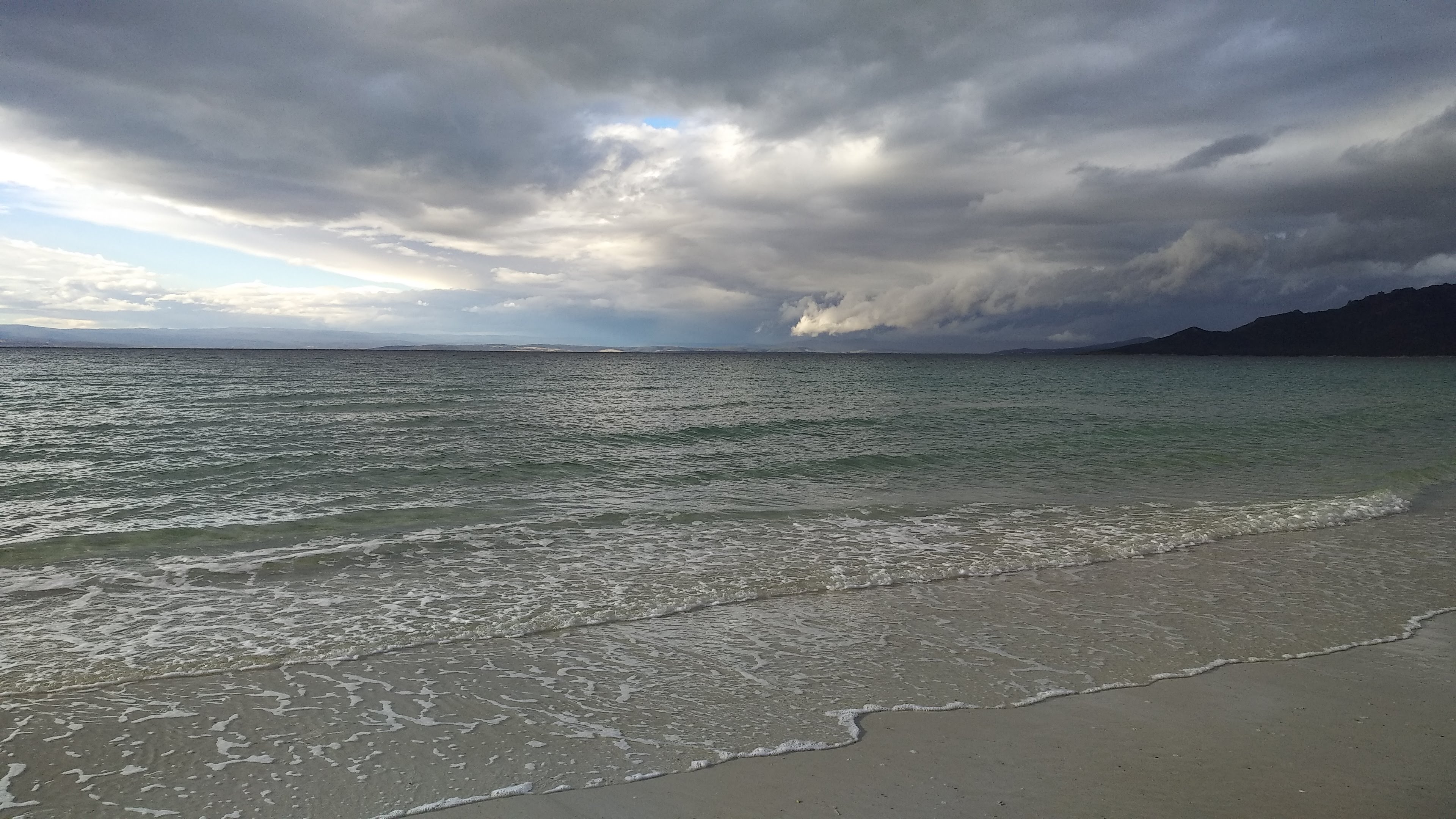
After a bit of a snack we wandered down Hazards’ Beach, following some pied oystercatchers and hooded plovers. We were soon approached by somebody running the entire 31km circuit (it was 5pm and she still had about 25km ahead of her!) and asked if we wanted our photo taken. We said yes and happily took a photo of her on Hazard’s as well and wished her luck. We continued onwards to Cook’s Beach, where the weather seemed to taking a turn for the worst, though happily it never did.
Ominous weather coming in over the Hazards
Stormy clouds
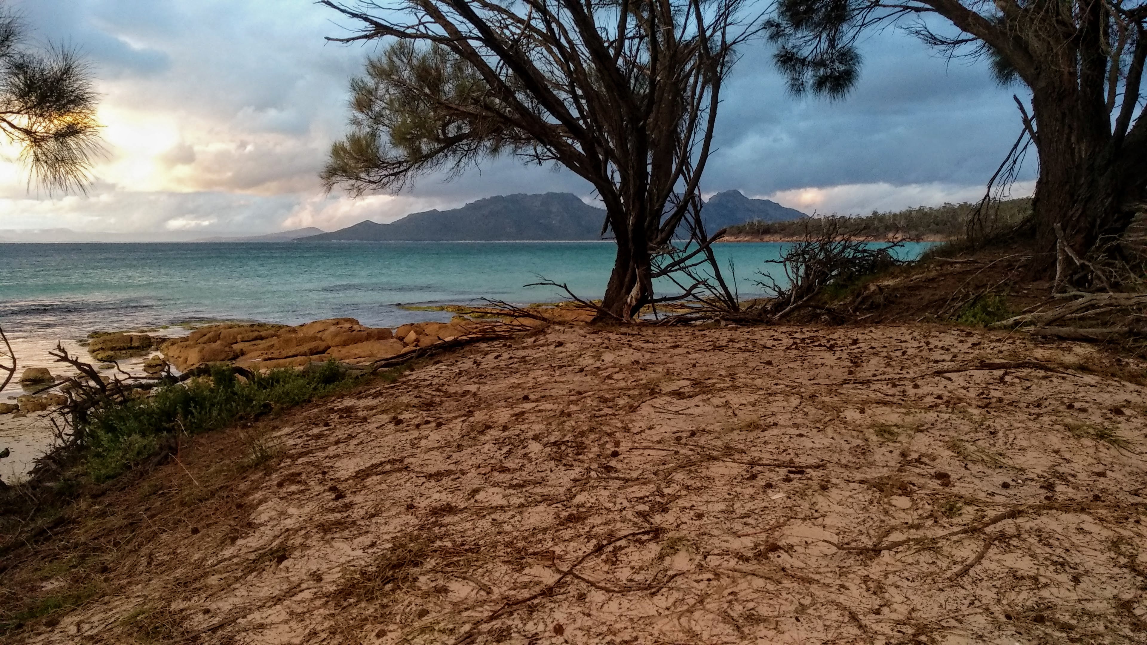
At the Cook’s Beach campsite we found a nice nest under some khunzias to pitch the tent, and went down to the beach to cook dinner and watch the sky.
Our temporary kitchen for the night
Darkling beetle (lepispilus sulcicollis)
A husk of some type of cicada, presumably the ones we were hearing
The next day was our ‘lazy day’. Awaking to the sound of some screaming cicadas, we slowly made coffee and porridge before following the short 1 hour walk to Bryan’s Beach. The weather was perfect for a swim once we arrived, but we were soon interrupted by what we think was an eagle ray. We were not at all dissapointed though, and watched with excitement from some nearby rocks as it perused the shallows of the beach.
We then surveyed the shores of Schouten Island with binoculars and spotted the hut and a few visiting boats, before exploring further down the beach in search of a reasonable spot to climb up the bank and get a view of Bryan’s Lagoon (steering well clear of potential midden sites). We eventually scrambled up the bank in a clear spot and got a good view of the span of Bryan’s Lagoon, spotting a pair of chestnut teals and a couple of black swans relaxing on the water. Climbing back down, Harriet found some sea spinach (tetragonia tetragonoides) fruit and used it to dye her entire hand pink. For a few more hours we ran around the beach and watched birds with the binoculars, including a dusky woodswallow, more pied oystercatchers, and an incredibly cute spotted pardalote. Somehow we didn’t take a single photo while on Bryan’s Beach, I guess we must have been having too much fun…
We walked back to Cook’s in the late afternoon, taking our time to photograph some intriguing flowers on the way. We very much enjoyed our day on Bryan’s Beach, and pondered the idea of spending an entire week camped at Cook’s or Bryan’s, but tomorrow we had two mountains to climb.
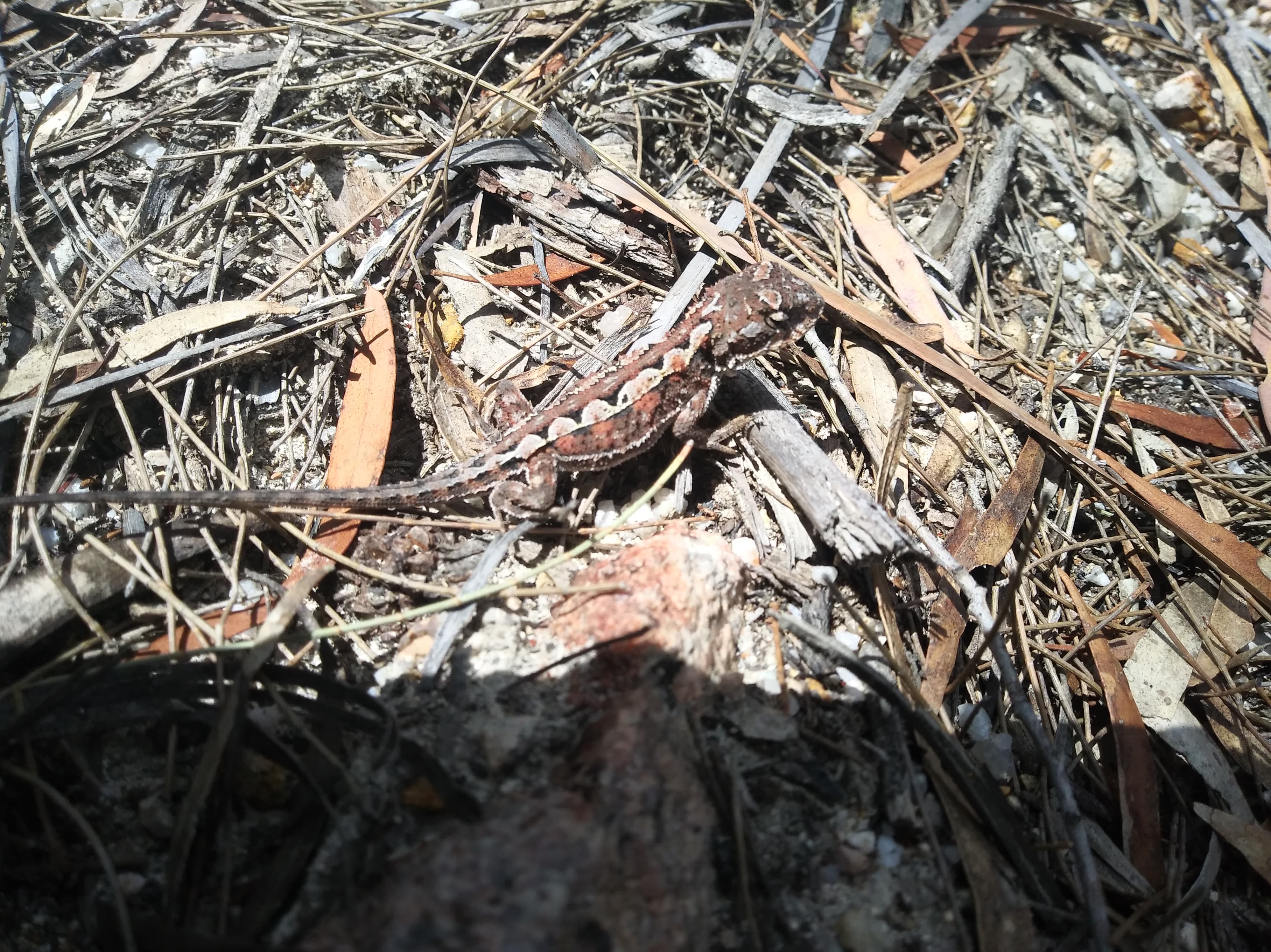
The next morning we left when it was already quite warm, and accepted that we were in for a long and hot day. We said goodbye to the oystercatchers on our way to the Mt Graham turnoff and began walking through a nice section of coastal bush. Along this section of the track we saw multiple snakes, an excited grey shrike-thrush making a very wide range of sounds, and a heap of mountain dragons.
Looking up at where we were heading from Cook’s Beach
A mountain dragon (rankinia diemensis) camouflaging into the debris
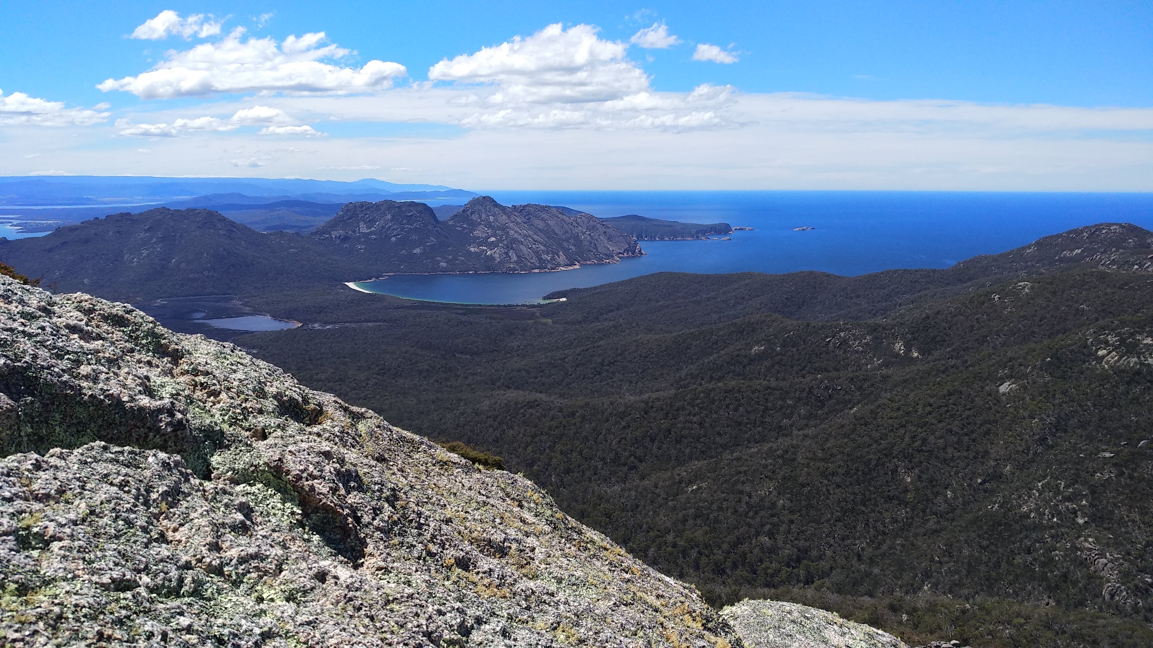
We slowly meandered our way up the steep ascent to the saddle between Mt Freycinet and Mt Graham and found a shady spot to have a lunch break before climbing our first mountain of the day. The walk up Mt Freycinet was short and sharp, with a healthy dose of rock scrambling. We were very lucky with birds and plants on our way, spotting a bearded orchid and a huge wedge-tailed eagle being taunted by a black currawong soaring around the summit. From the summit there were great views out to Schouten and Maria islands, the northern part of the peninsula, and deep out into the Pacific Ocean. With binoculars we could even make out some people walking along Wineglass Bay.
Wineglass Bay and the Hazards from atop Mt Freycinet
Mt Graham waiting for us as we sat on the Mt Freycinet summit
Schouten Island from the summit of Mt Freycinet, with Maria Island off in the distance
Already exhausted, we returned to the saddle and began our climb up Graham, taking a fair few breathers. We reached the summit at about 4pm, so wasted no time at the summit and kept on walking until we reached Graham’s Creek, and very slowly filled all of our drink-bottles from a tiny tiny trickle while dodging a swarm of mosquitoes. After another hour or so of walking and commenting on the impressive size of some of the grass trees, we arrived at Wineglass Bay. Very hungry, we quickly set up our temporary kitchen on the beach and cooked away while we watched a pacific gull eat a crayfish leg it must have stolen from one of the boats anchored in the bay.
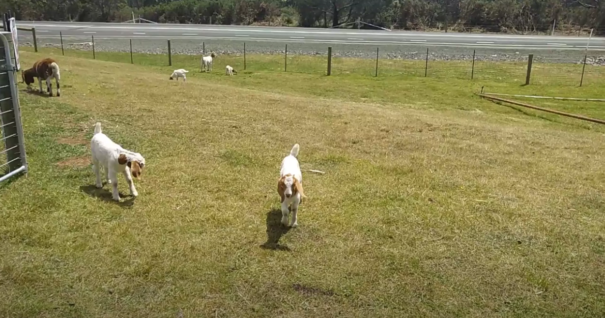
The next morning we attempted to get out as quick as we could, as Harriet had to be back in Strahan by the end of the day. So we only stopped to have a quick chat to one of the many people passing through the Wineglass Bay track, and to observe a shining bronze cuckoo hiding in the bush. We arrived back at the car at 11am, so judged that we had enough time to grab some hot chips from Coles Bay on the way home, and to stop and admire some baby goats Harriet had spotted on the drive up.
Baby goats at the Pondering Frog Cafe
Freycinet is a great place to spend a few days during the Summer, and we would have loved to have spent a few more nights camped at Cook’s Beach, exploring and birdwatching. While it is not the most wild of places in Tasmania, with human presence very noticeable in the park these days, it was a welcome change to have a real track as opposed to our previous scrub-bash up the Raglan Range.
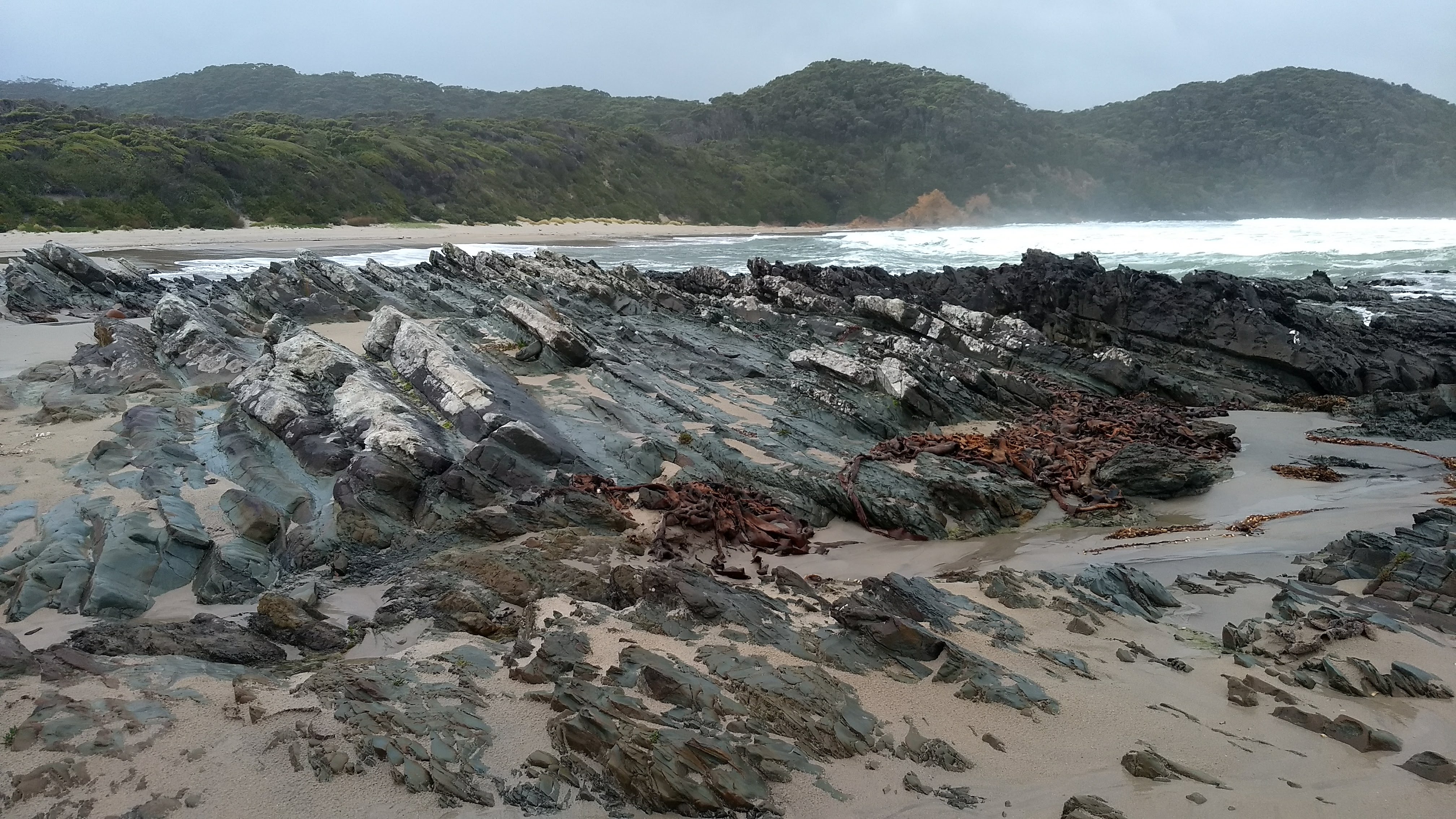
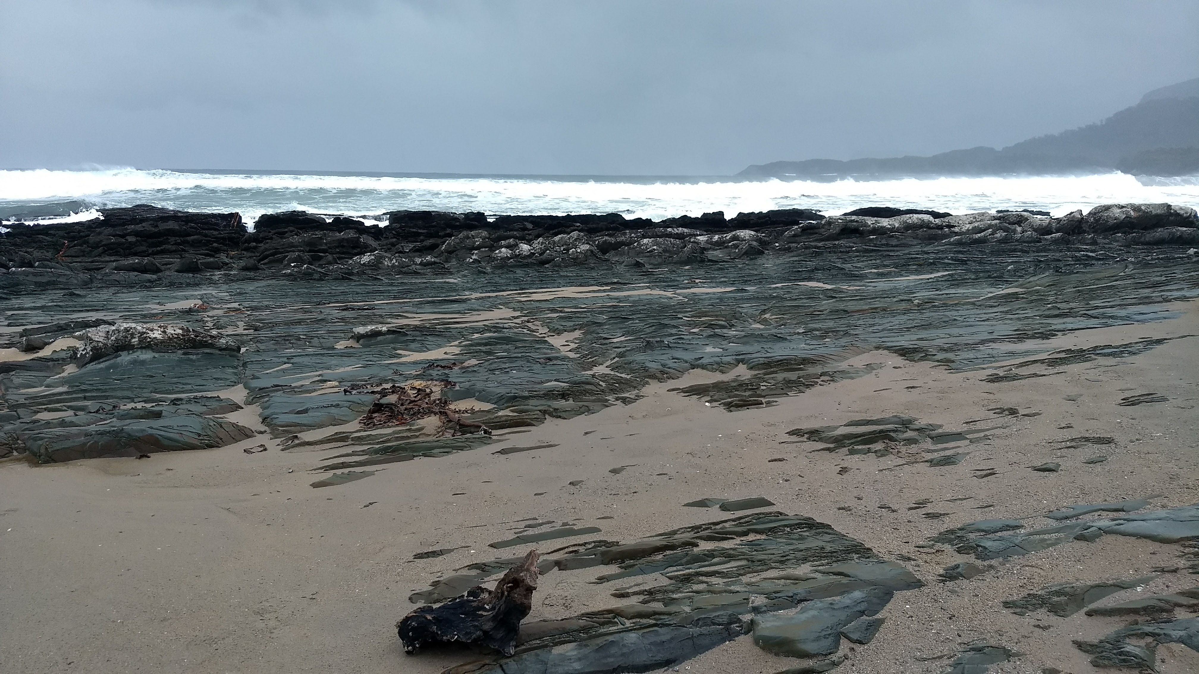
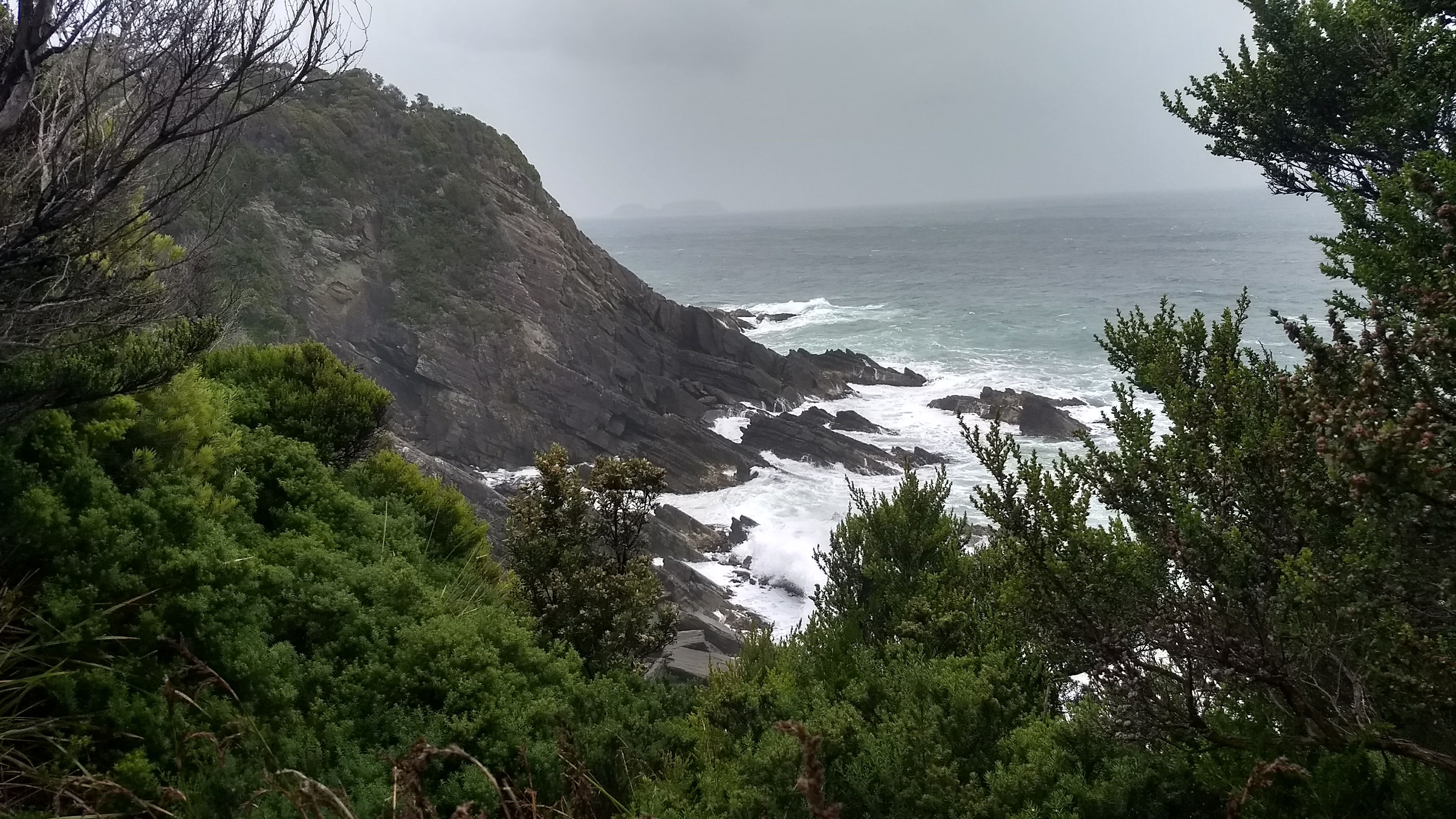
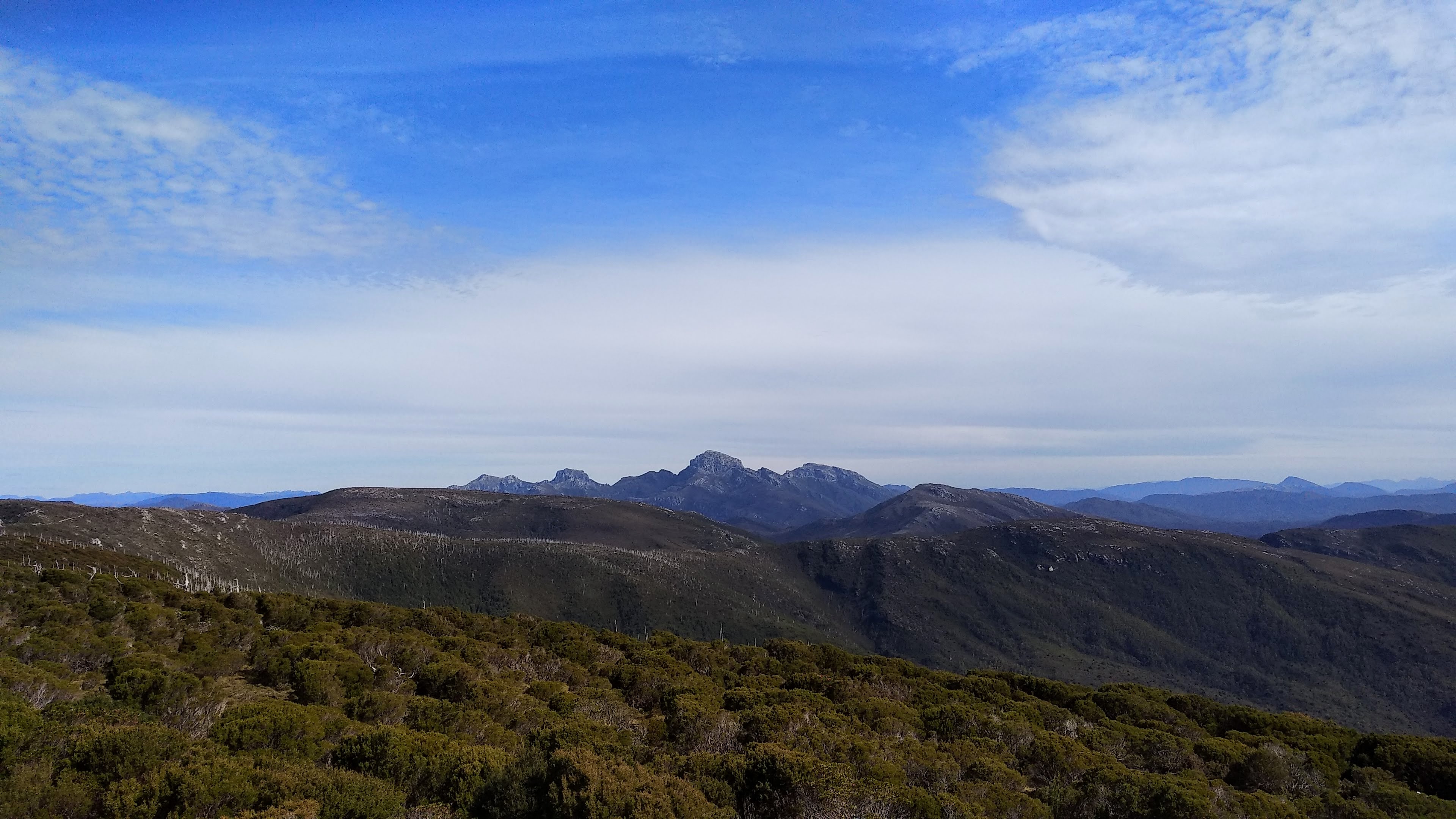
The Raglan Range is an incredible area of the Tasmanian Wilderness World Heritage Area with an intriguing history. Just a short walk west of the popular Nelson Falls short walk on the Lyell Highway is an old rusty gate, swinging open over the Nelson River. Just beyond this gate a wooden bridge once marked the start of the Raglan Range road, constructed and used by the Bradshaw family to log burnt out King Billy Pines atop the range. I had a keen interest in the gate and what lay beyond after spotting it driving between Hobart and Strahan. From observing the old TASMAP layer on the LISTmap, I figured that this gate marked the start of an old track that walkers sometimes use as an alternate route out of Frenchmans Cap. It was also clear from the ESRI imagery layer that this road would still be traceable on foot, so I was intrigued to follow this road and see just how overgrown it was, and how far we could get. The road is now massively overgrown in parts, through at the time of writing is still clear enough to follow with care taken in the more dense parts.
The Bradshaws likely began construction on the logging road in 1930-40’s and it was used to obtain burnt King Billy logs at least through to the 50’s and 60’s. The Raglan Range area was and still is, despite the logging, covered in burnt King Billy Pines. It is fairly widely accepted that these pines all burnt in a severe bushfire that spread over the range in the Summer of 1897-98. Ruins of an old sawmill and some other buildings remain close to the peak of the range. Large drainages are now cut in the truck and much of the road was reforested in 1993.
View of the West Coast range and Gormanston
Leaving our cars at the Nelson Falls carpark, we set off at around 9:30am on Monday the 30th of November on a perfectly clear, but uncomfortably hot day. Crossing the Nelson River at the old bridge site didn’t provide too much of a challenge, but could certainly be dangerous given large rainfall. Immediately after crossing the river we were greeted by two signs telling us that the (nonexistent) bridge is unsafe to cross, and that the road ahead was closed. The first section though the wet forest close to the river was the most overgrown of the entire track, and was absolutely packed with leeches. Navigating wasn’t too difficult however, as the vegetation growing on the road was noticeably younger than the bush either side of it. A few times it was necessary to leave the road for a small while before returning to avoid the worst of the bauera scrub. Eventually we reached a much more road-like track as we began ascending up the range. This continued for some time, with great views out to the West Coast range and Gormanston.
Eventually the track led back into a more dense, wet forest. This section of the road was obviously more difficult to cut, as it occasionally cuts through what feel like mini canyons that have been dug out for the road to pass through. The forest in this section of the track was very enjoyable to walk through, with the melalueca and satinwood overstory almost completely blocking out the piercing sun and the road entirely covered in blechnum ferns. Brown thornbills seem to love this area, and could be heard chirping throughout this whole section. Eventually we emerged back into the sunlight, and subalpine vegetation. The Tasmanian waratahs were out in full flower and were scattered all along this next section of the track. The track continued similarly for a while, becoming gradually more open and more road-like as we ascended.
Tasmanian Waratah (telopea truncata)
We soon encountered the old sawmill ruins along this subalpine section, from which there were more great views out to the West Coast range. This is the most ideal place to pitch a tent if planning an overnight walk up the Raglan Range, although we camped a bit lower down on a flat(ish) piece of road in order to have a quicker walk out the next morning to avoid incoming strong winds and rain. We set up our camp on the way up and packed some water, snacks and an EPIRB in a day pack to continue walking up to the trig point.
Some ruins at the sawmill site
A very old can of Boag’s Draught
Tasmanian Christmas Bells (blandfordia punicea)
View of the West Coast range from the sawmill site
From here it was only a short walk up to the trig point along a quite clear section of the road. Near the peak, we were lucky enough to witness countless Macleays swallowtail butterflies (graphium macleayanus) fluttering above us. From the trig point there were astounding 360 degree views and far too many peaks visible to name them all. Perhaps most impressive was the view of Frenchmans Cap and its surrounding peaks
Frenchmans Cap and nearby peaks in the background with Flat Bluff (left) and Mt Mary (right) in the foreground
Despite the incredible views, we didn’t stick around too long as we were starting to feel the effects of the heat and our water supply in the day pack was running low. Walking back to the camp was much quicker than heading up, and we soon re-hydrated ourselves and had a nap in the shade. The walk back from our campsite the next morning was quick as we had planned, and we managed to avoid the incoming heavy weather. Although, we returned to a car with a flat battery, which leads me to believe the Nelson Falls car park is cursed, as another account of this walk from rockmonkeyadventures described the exact same thing happening! We luckily had two cars as one of us lives in Strahan and the other in Hobart, and were able to drive to Gormanston to find phone reception and call RACT to jump start the car. This unfortunately meant that as we were driving back and forth, we faced the full force of the intense winds and rain so hard our windscreen wipers couldn’t keep up!
While I would recommend an overnight trip for this walk, it is certainly doable in a Summer’s day, taking around 8 to 9 hours. It is very important to note that there is nowhere on this walk aside from the Nelson River to fill up a drink-bottle, so take at least 3 litres per person (plus extra if you’re using some for cooking). If you are interested in precise route details and information on extending this walk further, I recommend checking out the description of the Raglan Range walk on rockmonkeyadventures.
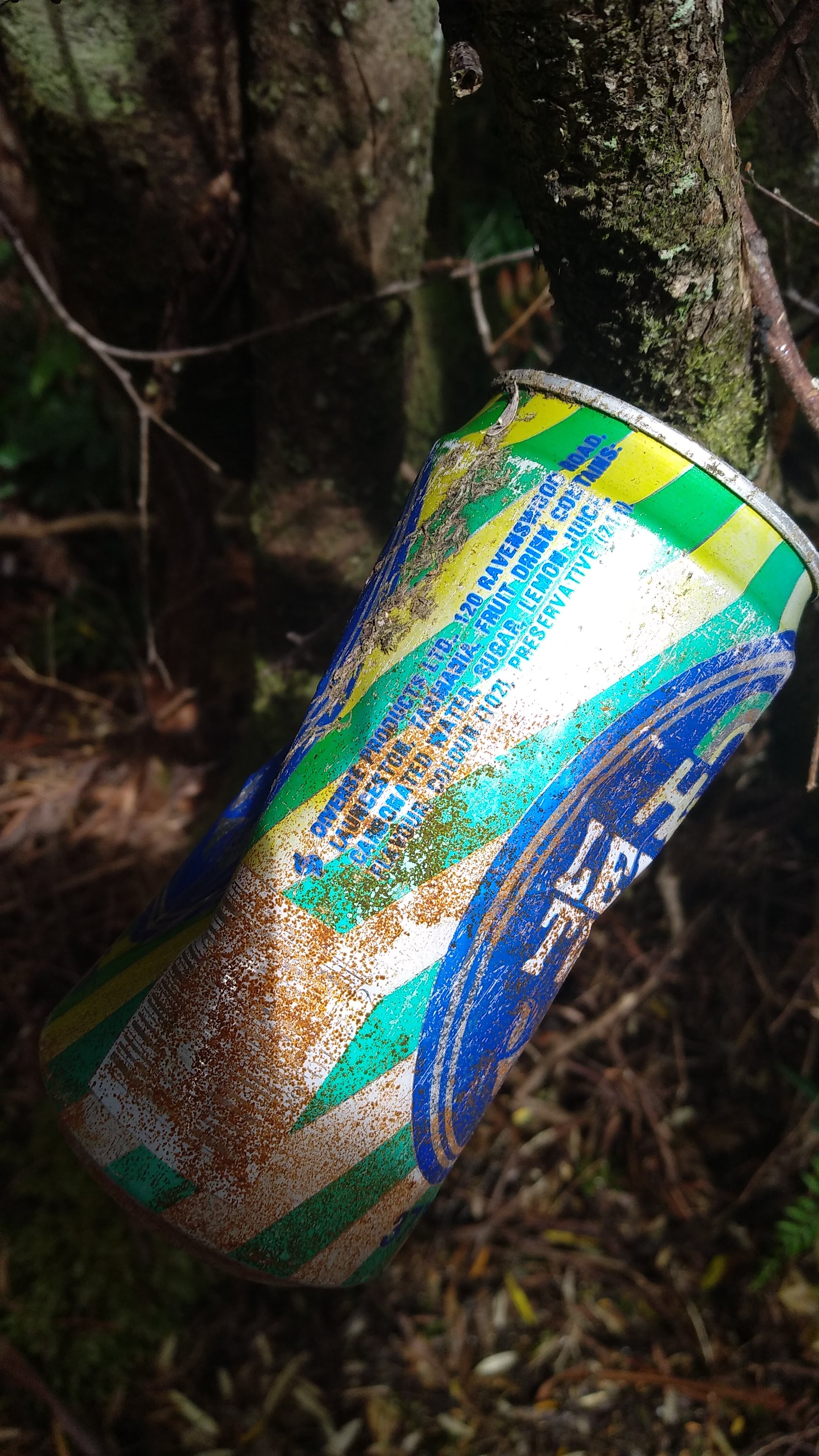
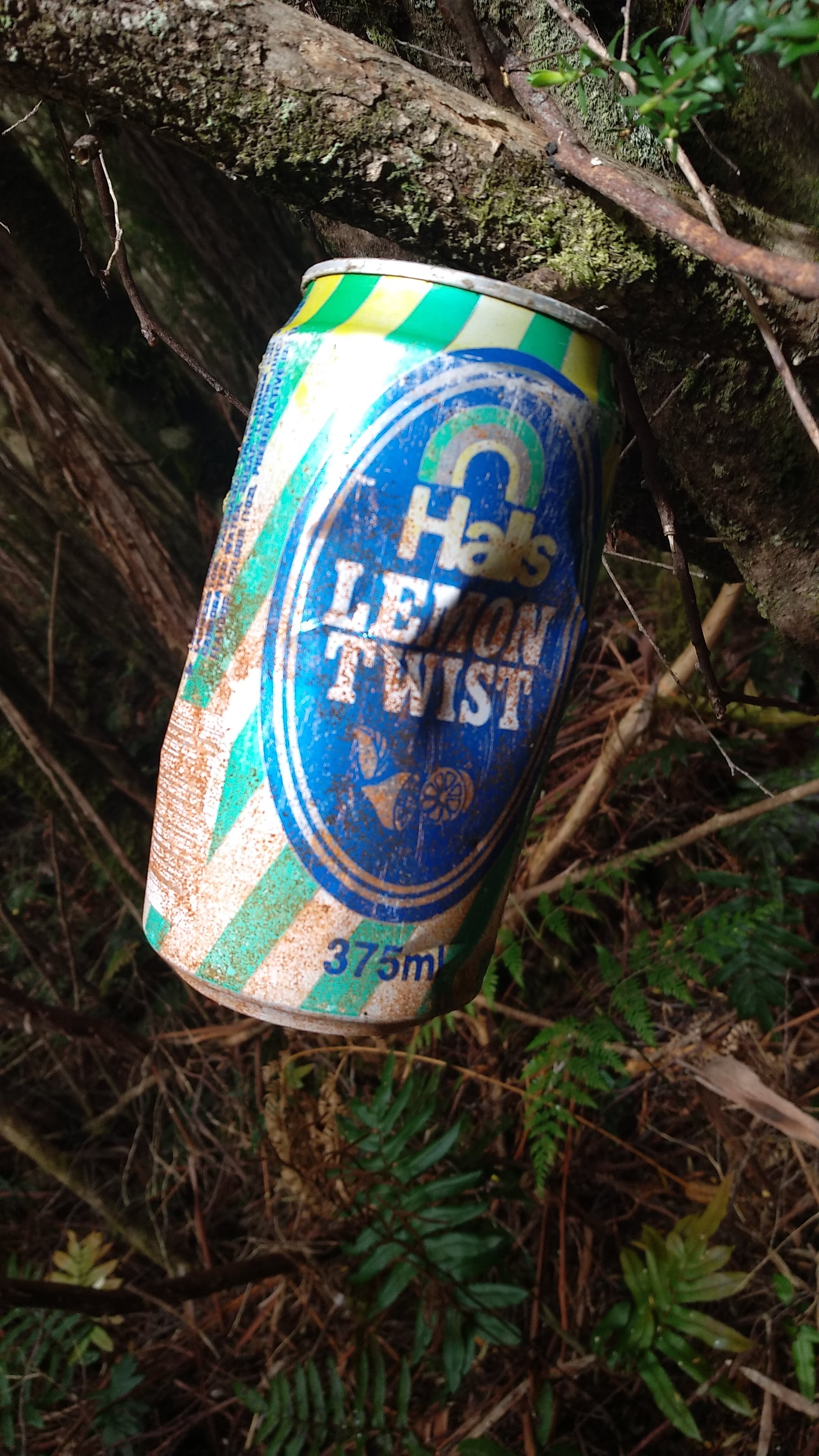
An ancient relic Halls Lemon Twist, made in Launceston
This is a map I’ve worked on over the last year that I believe is the most complete map of Tasmanian waterfalls on the internet. I believe the majority of the locations are accurate but I can not guarantee that their locations are 100% correct. If you notice any mistakes please let me know.
This map is a work in progress. Over time, more waterfalls are likely to be added, and details about listed waterfalls will be updated.
Important notes:
Do not attempt to reach any waterfall that does not have a designated track unless you are experienced with bushwalking off track in Tasmania.
Please do not take the access notes I have attached to the waterfalls as definitive methods of accessing them. I have attached them in hope that they provide some assistance to waterfall baggers like me, but they shouldn’t be used as instructions.
Some waterfalls that are listed as public property are actually situated on private property, I am currently working on updating this.
Some waterfalls are not included on this list. Their locations have been kept secret for good reason, as they are situated near highly populated areas and if their locations were publicly exposed they could be at a high risk of being over-loved. Secret Falls on kunanyi/Mt Wellington is a perfect example of this happening.
Falls not included on map:
Fairy Falls (kunanyi)
Fortunate Find Falls
Pineapple Falls
Swimming Hole Falls
Gibson Creek Falls
Glorious Falls
Coalminers Falls
Dovetail Falls
Rememberance Falls
Skull Rock Falls
Untouched Falls
Calmful Falls
Archangel Falls
Concert Creek Falls
And many many more…
Map key:
– Official Name, Public Property, Unvisited
– Official Name, Public Property, Visited
– Official Name, Private Property, Unvisited
– Official Name, Private Property, Visited
– Unofficial Name, Public Property, Unvisited
– Unofficial Name, Public Property, Visited
– Unofficial Name, Private Property, Unvisited
– Unofficial Name, Private Property, Unvisited
– Unofficial Name, Public Property, Existence Unconfirmed
– Unofficial Name, Private Property, Existence Unconfirmed
O’Grady’s Falls is probably my favourite waterfall in Wellington Park. It can be easily accessed from many different starting points and is an excellent place to escape from the city below. I have walked past O’Grady’s Falls countless times over the last few weeks when searching for other waterfalls and every time I have to stop for a moment to admire it. O’Grady’s Falls was advertised in the Mercury paper as ‘A Pretty Waterfall near Hobart‘ in 1931 when a large number of walking tracks in Wellington park were opened. These included a track to O’Grady’s Falls from Strickland Avenue, which is now known as the Rivulet Track. A fact about O’Grady’s Falls that I find quite humorous, is that there was once a stall nearby to the falls that offered refreshments on weekends.
Personally I think the most enjoyable way to walk to O’Grady’s Falls is to park at Shoobridge Bend on Pinnacle road and walk down the Betts Vale Track. To get to the falls this way, follow the Shoobridge track from the carpark for about 5 minutes, turn right onto the Circle track and follow it until you come across a small bridge and a sign to your left pointing towards the Betts Vale Track. Follow this track downhill for about 30 minutes until you reach O’Grady’s Falls. This route hugs the Hobart Rivulet for almost the entire journey and allows you to be surrounded by beautiful forest for the entire walk.
Myrtle Gully Falls (turikina truwala)
Myrtle Gully Falls
Myrtle Gully Falls is one of the more well known waterfalls on Mt Wellington, however it isn’t recognised as an official waterfall by the Tasmanian Nomenclature Board. This is odd, as the main drop is about 6 metres in height and the falls can be very impressive in high flow. Myrtle Gully Falls along with Secret Falls can be found only a short walk through damp rainforest from the end of Old Farm Road in South Hobart. The track is very easy walking and appropriate for kids. Myrtle Gully is a great place to visit on a nice day after heavy rain or snow to see two of Mt Wellington’s most picturesque waterfalls.
Secret Falls
Secret Falls is another unofficially named waterfall just downstream from Myrtle Gully Falls on the Guy Fawkes Rivulet. It can be accessed down a small path to the left off of Myrtle Gully Track when walking from Old Farm Road. If the creek is flowing well you will be able to hear it easily from the main track.
Secret Falls is a bit of a misnomer as it is certainly one of the least secret waterfalls in Wellington Park (it is clearly marked on Google Maps as a tourist attraction). Despite this, when visiting this waterfall alone on a calm day it does feel as though you have come across a special, secret place. The mossy, rock cliffs with the thin stream of water flowing out of a small gap between them makes for an immersive, almost fairy tail-esque setting.
I have visited Secret Falls a few times yet for some reason have never taken a photograph.
New Town Falls is quite a large waterfall. However, its size is split up amongst many many drops and it is difficult to say which section is actually the main falls. The picture above is one of the larger drops along the creek between the Lenah Valley Fire Trail and the Lenah Valley Track. LISTmap actually marks two waterfalls along this section, with only one being officially named ‘New Town Falls.’ The lower of these two marked waterfalls is quite difficult to get to the base of however. I believe the drop pictured above is the waterfall marked further upstream on the map, with the most commonly photographed ‘New Town Falls’ (pictured below) lying between these two marked falls.
If I am wrong on this please do not hesitate to correct me.
What is commonly referred to as New Town Falls
To access New Town Falls, park at the end of Lenah Valley Road and follow the Lenah Valley Fire trail until you reach the signposted Lenah Valley Track turnoff on your right. Follow this for a short while until you reach a ruins site which marks the start of the Old Hobartions Track, to get to New Town Falls, continue on the Lenah Valley Track to the left, crossing a fire trail, until you reach the falls. Once at the Falls, there are rough and steep tracks that lead to the different drops in the waterfall. It is worth spending a lot of time here to fully explore all of the drops and cascades of New Town Falls.
Silver Falls
Silver Falls
Not to be confused with the many other waterfalls named Silver Falls in Tasmania, this small waterfall on Browns River is one of the most popular waterfalls on Mt Wellington. Despite the remnants of when Silver Falls was used as a water source, this waterfall is still picturesque and on a not too busy day, quite peaceful. The walk to the Falls begins in Ferntree and follows a flat section of the Pipeline Track all the way to the base of the Falls.
Strickland Falls
Strickland Falls
Strickland Falls is a small waterfall only a very short distance off of Strickland Avenue in South Hobart. It is situated on Hobart Rivulet, downstream from Betts Vale Falls. The Cascade Brewery once used Strickland Falls as a water intake and ruins from this time still remain. The ruins and it’s closeness to the road doesn’t make Strickland Falls feel like a very wild place, unlike many of the other falls, but is still a pretty waterfall nonetheless.
To access Strickland Falls, drive along Huon Road from Hobart, before turning right onto Strickland Avenue. Once on Strickland Avenue you will soon come across a large bend in the road and a small dirt car park. Park your car here and head about 200m into the bush along the creek right in front of you.
It is possible to walk to O’Grady’s Falls from here by following a steep rough track on your left near the carpark. This track connects to the Rivulet Track and O’Grady’s Falls is a 30 minute walk further up.
Betts Vale Falls
Betts Vale Falls
Betts Vale Falls is a small waterfall on the Hobart Rivulet that flows underneath a bridge on the Betts Vale Track, about 5 minutes further away from O’Grady’s Falls. This waterfall is rarely photographed and information on these falls is basically non-existent. This is odd considering they are easily found and a quite clear sidetrack off of Betts Vale Track leads directly to the base. Betts Vale Falls is an unofficial name but it is the only name that I am aware of, however the name seems appropriate.
Small drop below Betts Vale Falls
Betts Vale falls is quite a pretty waterfall, particularly the small drop a tiny bit further downstream, despite the many branches that have fallen over the top of it. This waterfall is well worth a visit if you’re walking to O’Grady’s Falls.
Featherstone Falls
Featherstone Falls
Featherstone Falls is one of the lesser known falls on the eastern slopes of Mt Wellington. However if you know that it exists, directions on how to get there are fairly easy to find. A popular track once led to these falls but it is now very overgrown and nearly impossible to follow, especially with recent flooding. What is left is a maze of tags, with many attached to fallen trees. If you do wish to follow the track, please only do so if you are an experienced walker and are confident in following tagged routes.
Cascades below Featherstone Falls
Compared to some of the other falls, Featherstone Falls has a quite a short drop. But what it lacks in height it makes up for in beauty. It’s fractal-like steps give it a very distinct appearance, and the surrounding almost untouched rainforest and mossy rocks make for a very serene setting.
If you do visit Featherstone Falls, please be careful where you tread for your sake and the environment’s, and try to leave very little trace of your journey. As in order to preserve Featherstone Falls’ beauty, the area around the falls should remain as untouched as possible.
Fairy Falls
This waterfall is an unofficially named waterfall which should not be confused with the falls of the same name in Geeveston. I have only seen two pictures of Fairy Falls, one by John Grist in a document detailing the history of some of the waterfalls on Mt Wellington written by Maria Grist (which is certainly worth a read). And the other from Tasmanian photographer Gary Tew. Both of these are linked to below.
I have attempted to find Fairy Falls multiple times to no avail. However I am now fairly certain that I know the creek it is located on, and it is just a matter of scrambling up a slippery and steep slope to find it. Hopefully I can update this post soon with an image of my own.
This small waterfall is one of Mt Wellington’s best kept secrets. The only knowledge I have of Pineapple Falls is a couple of photographs from other waterfall hunters that have been published online. I had first learned of its existence from photographer Gary Tew’s pictures the morning that I set out to find Fairy Falls and I stumbled upon this waterfall completely by accident on the very same day. I never found Fairy Falls that day, but I wasn’t bothered as finding this waterfall was equally as rewarding. In order to keep this waterfall a secret, I won’t post any information on how to find it, but perhaps you’ll also accidentally stumble across it one day!
Fortunate Find Falls
Fortunate Find Falls
Of all the waterfalls in Wellington Park, this is the waterfall I could find the least information on. The only proof of its existence is a small set of photos by photographer Gary Tew. I have been aware of it’s existence for a while, however had had no leads on how to find it. So I figured if I spent enough time wandering I would eventually encounter it. And so I did! This waterfall is definitely the most challenging to reach out of all the Wellington Park waterfalls I have attempted to reach so far, with countless fallen trees, slippery rocks and spiderwebs to deal with.
Fortunate Find Falls is an incredibly peaceful location and I certainly felt quite fortunate to come across it.
Upper Strickland Falls
Upper Strickland Falls
This lesser known waterfall is not far from Strickland Falls but can be quite treacherous to reach, especially in wet weather. Please only attempt to find it if you are an experienced bushwalker. However this waterfall has one of the best swimming spots I’ve seen on the mountain and is certainly worth searching for if you are capable.
Other cascades and small waterfalls
Cascades further upstream from Featherstone Falls
Cascades on Hobart Rivulet
If you’re now inspired to learn more about the waterfalls on Mt Wellington, as well as some of the Mountain’s post-settler history, I recommend giving the paper A Timeline for the Track Network of kunanyi/Mt Wellington by Maria Grist a read.
Sun shining through onto Stephens Rivulet. It is hard to do this scene justice with a picture.
The Balfour Track Forest Reserve is perhaps the most beautiful area of rainforest I have ever walked through. There’s something magical about this place. The combination of the thriving fungi life and the gentle rushing of Stephens Rivulet alongside the track fully immerses you in this incredible forest. The weather on the day I walked through switched between showers and clear skies which only added to the experience, as the occasional sun rays that broke through the roof of the rainforest shone onto the rivulet and lit up the track in front of me.
The Balfour Track is an easy, 2 hour return walk that starts on Blackwater Road C214. The track is a section of an old track that originally continued through to the old township of Balfour. This walk should not be confused with the track a few kilometres north which is also named ‘Balfour Track’ on Google Maps, or the popular 4WD track with the same name.
Driving from Smithton or Arthur River, the road is sealed and in good condition the entire way. The northern entrance of the walk is signposted and there is a fairly large parking area on the opposite side of the road. The track has another access point at the southern end with room to park 1 or 2 cars on Blackwater 6 Road, which is unsealed but at the time of writing looked 2WD accessible, however this road is deteriorating.
From the northern entrance the track has a short, slippery descent down into the rainforest where from this point onwards you follow a fairly straight and level track, which makes for very easy walking. At the bottom of the small hill I was already stopping to photograph fungi, an activity which easily added an extra hour to my trip. Not long after the start of the track I soon come across two creek crossings, one which had a nice wooden bridge and the other which once had a log bridge that was unfortunately washed about 60 degrees to the left so that it now leads directly into the middle of the creek. It was an easy jump across this creek though, but I soon realised once across that it might not be so easy on the way back… But oh well, onwards for now.
Stephens Rivulet
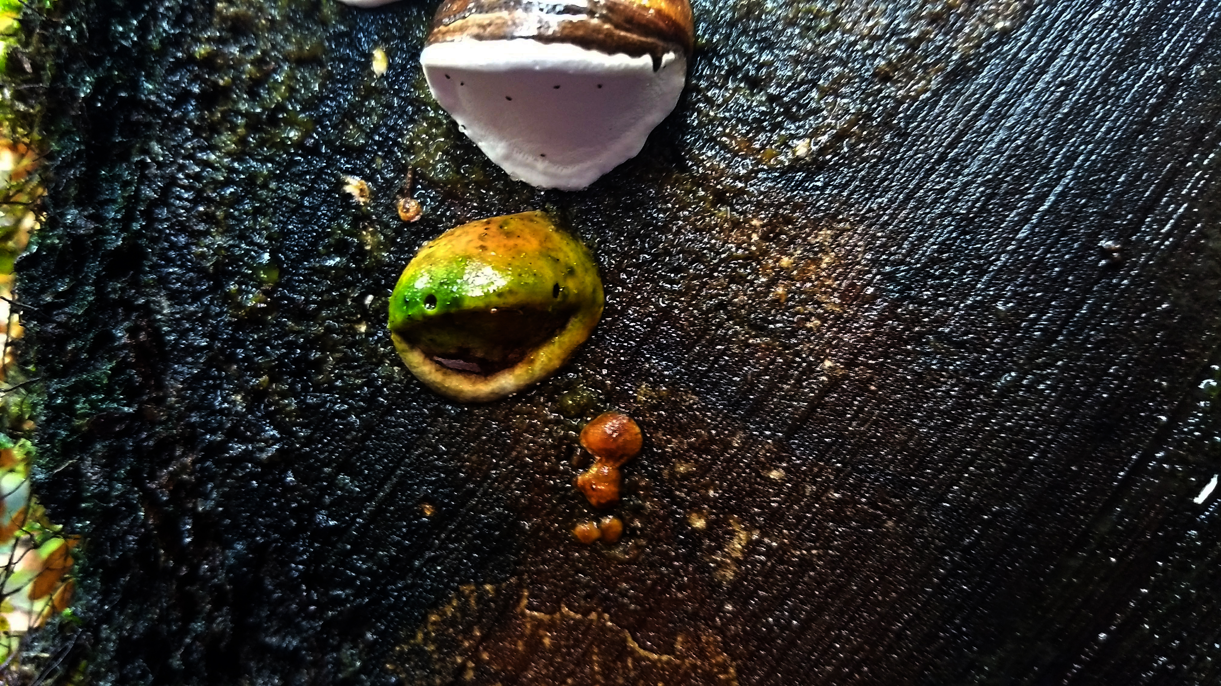
The track continues to follow Stephens Rivulet and there are a few points where you can stop and admire the sun poking through the treetops onto the water. I eventually came across a big pile up of small trees that had fallen over the track. This pileup was rather dense but I managed to climb through with some difficulty. I continued onwards, stopping every few minutes to photograph fungi, my favourite being a small green fungus growing on a fallen tree that looked like a smiling frog!
The Smiling Frog Fungus! If anyone knows what type of fungus this is please let me know.
The track continued fairly flat with only a few ups and downs until I reached a large tree that had fallen over onto the track. I clambered over the tree and realised once on the other side that there was quite an easy way to go around it instead…
Not long after this tree, I walked out onto Blackwater 6 Road, which is the southern entry point for the Balfour Track. I wasn’t quite finished with walking at this point and as the rain seemed to had stopped for a while, I decided to head up Blackwater 6. I followed the spur uphill until I reached a large open muddy area to the right and a warning sign about an apiary site to the left. Now with the disturbing image of being attacked by a swarm of bees in the rainforest filling my mind, I headed further along the road, where clearly no vehicle had gone in a long time. The road very soon reached a fork, with a pink tag attached to a tree in the middle.
I decided I would wander down the left path, but I wasn’t feeling adventurous enough to continue after a point where the overgrowth became very dense. So I backtracked and headed down the right, only to find this road was similarly overgrown. However on the right path, a few pink tags led off to the right into the forest, which I followed for a short distance until no further tags could be seen.
I now know from that the path to the left is a trail described in Phill Pullinger’s Tarkine Trails book, however what lies at the end of the right path, or the marked route off the right of it remains a mystery. Attempting to follow any of these routes would require some good navigation skills as well as a GPS and map, as it is incredibly easy to get lost in dense rainforest like this.
More fungi
I decided to head back and save exploring for a later day. Walking back was a much faster journey as I wasn’t stopping to photograph any more fungi. This time I walked around the large tree and crawled back through the pile of fallen trees until I reached the creek crossing I had quickly forgotten about and attempted the jump back, only to just miss and land in the murky water to discover the hard way that this creek was waist deep…
I climbed out, thankful that my phone was in my jacket pocket and that I had polyester pants on. I soon reached my car.
After this I drove further along Blackwater Road and onto Sumac Road to the Julius River picnic area, where I had lunch, before driving further onto the Lake Chisholm Forest Reserve. Lake Chisholm is a limestone sinkhole that filled with water over time. The lake is protected from all sides by forest and there are no streams running in or out of it. Because of this, it often sits perfectly still, making for some impressive reflections.
The weather was clear the entire time since leaving Balfour Track, only to pour down as soon as I pulled into the Lake Chisholm carpark. I decided to wait out the rain and it soon cleared up again so I grabbed my camera and headed along the short, clear cut track. The stillness of the lake and ambience of the forest made for a very peaceful atmosphere. You could easily spend hours here absorbing and admiring the beauty of this place.
Lake Chisholm
Forest at Lake Chisholm shore
The Balfour Track and Lake Chisholm walk are two accessible introductions to the beauty of the Tarkine. And given that there are countless areas of native forest that have been heavily logged all around this area, these walks are a great way to see just how threatened the Tarkine is and exactly why it needs to be protected.
There’s much more to be explored in this area and I’m sure I will be returning soon.
To reach the Northern entrance to the Balfour Track Follow Trowutta Road out of Smithton before turning right onto Roger River road which eventually becomes Sumac Road. When you cross the Kanunnah Bridge, turn right onto Blackwater road and approximately 4.6km’s from here you will see a large parking area to your right and the entrance to the track on your left. The Lake Chisholm Forest Reserve is a left turn from Kanunnah Bridge, following Sumac Road for 12km’s before turning left at the signposted Lake Chisholm Road and following it to the carpark.